Page 1
Developing Educational Activities Using Google Earth and Google Maps
Lucy GrayThe Urban Education Institute at
The University of [email protected] ://lucygray.org
1Thursday, July 10, 2008
Page 2
What is Google Earth?http://earth.google.com/
Free software available via download
Satellite imagery of Earth that includes layers of information
Can also view constellations
Content partners include Discovery Education, National Geographic, and Wikipedia.
Create still images
Share files (.kml or .kmz)with others via email
Google Earth files can be sent to Google Maps
Interoperability with Google SketchUp
2Thursday, July 10, 2008
Page 3
placemark
3Thursday, July 10, 2008
Page 4
4Thursday, July 10, 2008
Page 5
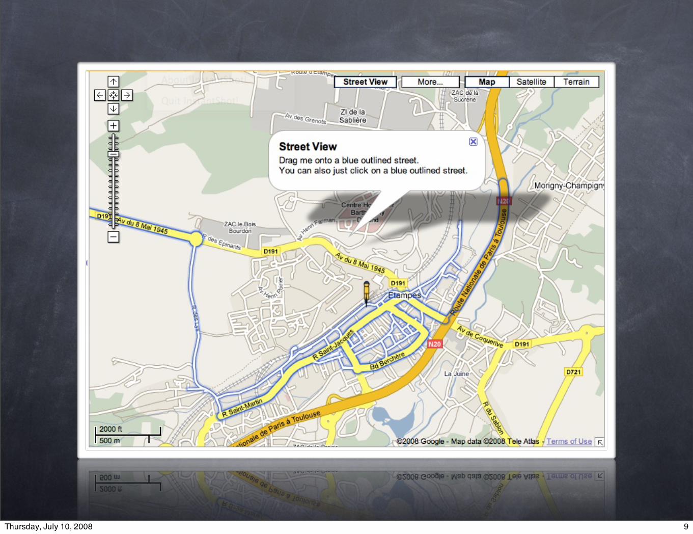
Mapshttp://maps.google.com/
My Maps and Search Results Tabs
Provides directions
Several views: Street View, Traffic, Map and Terrain
Can add searched items to My Maps
Can add publically listed maps to My Maps
Maps can be linked to and embedded in web sites and blogs
Maps can be sent to Google Earth
Google Sky allows viewing of constellations
5Thursday, July 10, 2008
Page 6
Myanmar
6Thursday, July 10, 2008
Page 7
Tour de France
7Thursday, July 10, 2008
Page 8
8Thursday, July 10, 2008
Page 9
9Thursday, July 10, 2008
Page 10
10Thursday, July 10, 2008
Page 11
Google Sky
11Thursday, July 10, 2008
Page 12
Why Use These Tools?
Research
Visual Literacy
Collaboration
Global Awareness
12Thursday, July 10, 2008
Page 13
Enhance Research
Enable layers of rich content from Wikipedia, Discovery Education, National Geographic and other content partners
Take screenshots of locations to use in other multimedia projects and reports
Take guided tours of geographic locations
13Thursday, July 10, 2008
Page 14
Promote Visual Literacy
Examine current events from an interactive perspective
Plot locations mentioned in literature and textbooks
Determine field trip routes
Use with interactive whiteboards
14Thursday, July 10, 2008
Page 15
Foster Collaboration
Discover and explore locations of schools working on collaborative projects
Invite relatives to indicate their birthplaces on a map
Develop maps related to a classroom unit in which teams of students are responsible for certain content (dates, events, places etc.)
15Thursday, July 10, 2008
Page 16
Promote Global Awareness
Take teacher (or student)created geography quizzes
Plot locations of schools working on collaborative projects
Host collaborative mapping projects
Investigate hot topics
16Thursday, July 10, 2008
Page 17
Google Earth/Map Resources
Google Lit Trips
USGS GE Files
National Weather Service GIS Links
Google Earth Community
Google Almanac
Grazing for Digital Natives>>Google
7 Things You Should Know About Google Earth
Google Maps Mania
Google Earth Workshop
17Thursday, July 10, 2008
Page 18
Hands On Activity
Teacher Meme
Original directions: http://tinyurl.com/teachermeme
Google Map: http://tinyurl.com/teachermememap
18Thursday, July 10, 2008
Page 19
Diigo Resources
Google in Education group http://groups.diigo.com/groups/google-in-education
iSummit Grouphttp://groups.diigo.com/groups/i_summit
19Thursday, July 10, 2008