24
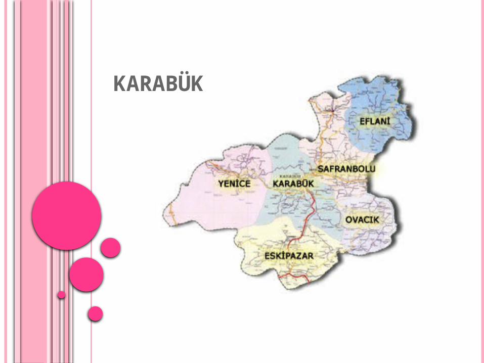
KARABÜK
| Date post: | 01-Jan-2016 |
| Category: |
Documents |
| Upload: | barbara-snider |
| View: | 26 times |
| Download: | 0 times |
KARABÜK
LOCATION
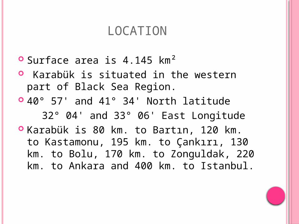
Surface area is 4.145 km² Karabük is situated in the western part of
Black Sea Region. 40° 57' and 41° 34' North latitude 32° 04' and 33° 06' East Longitude Karabük is 80 km. to Bartın, 120 km. to
Kastamonu, 195 km. to Çankırı, 130 km. to Bolu, 170 km. to Zonguldak, 220 km. to Ankara and 400 km. to Istanbul.
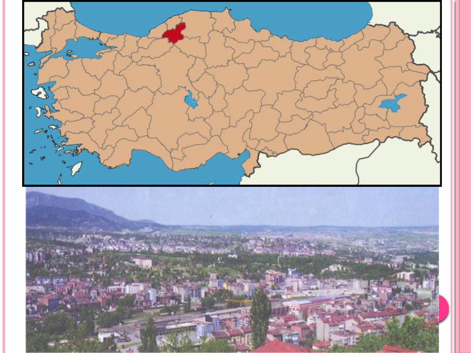
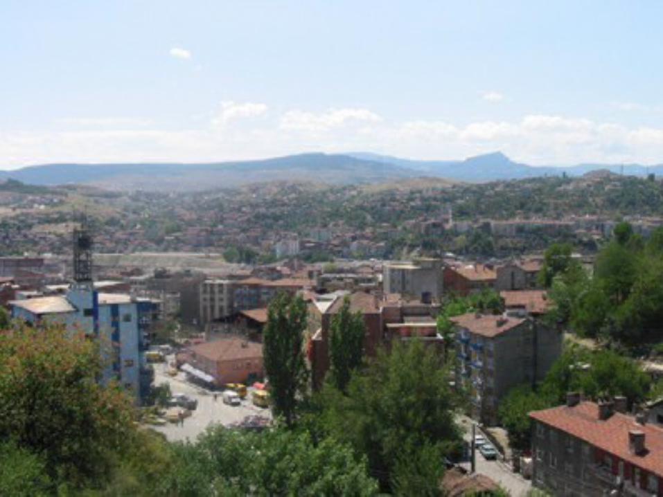
KONUMU
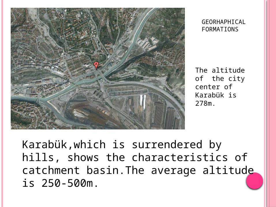
The altitude of the city center of Karabük is 278m.
Karabük,which is surrendered by hills, shows the characteristics of catchment basin.The average altitude is 250-500m.
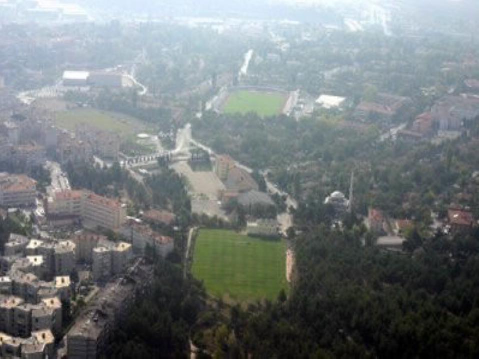
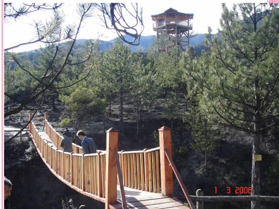
GEORHAPHICAL FORMATIONS


CANYONS
There are many magnifient canyons in Karabük.
The most important ones are İncekaya, Düzce, Tokatlı and Sakaralan Canyon.
And also Yenice has got Şeker Stream, which is 6,5 km. long and has got steep and high Şeker Canyon at both sides.
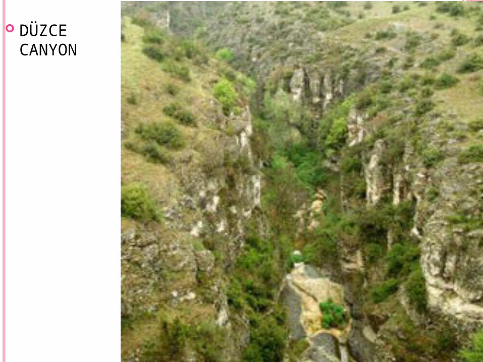
DÜZCE CANYON

ŞEKER CANYON
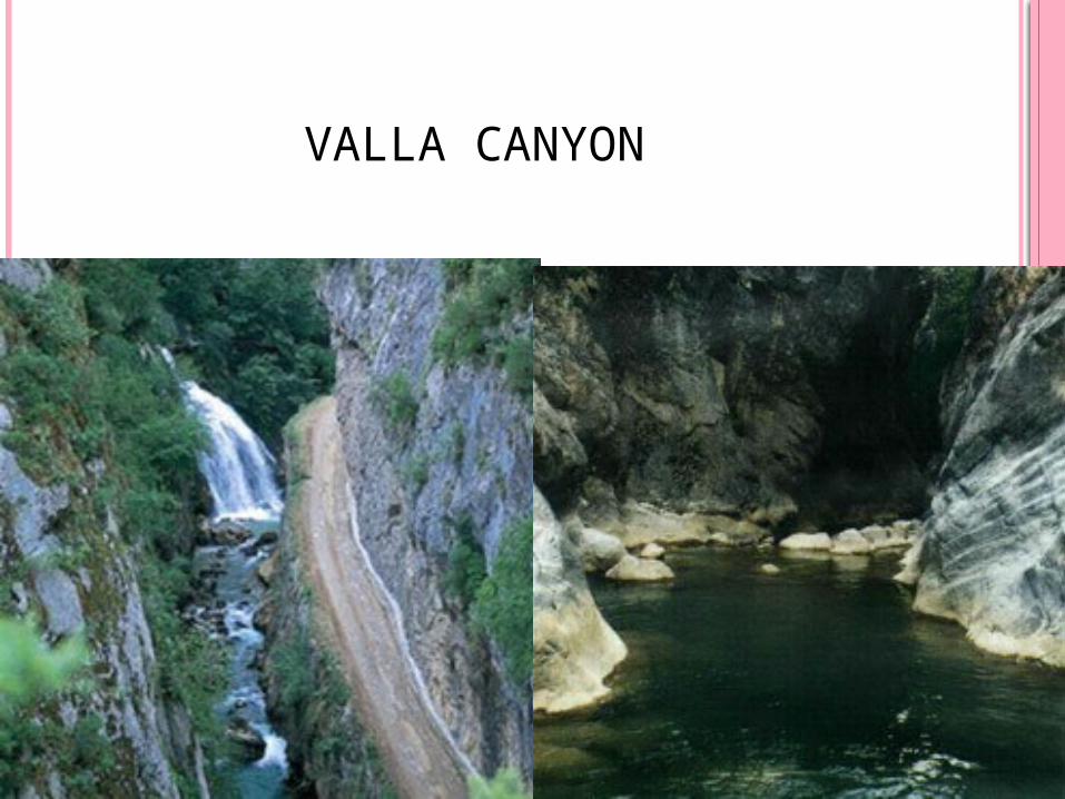
VALLA KANYVALLA CANYON

VALLA KANYONU
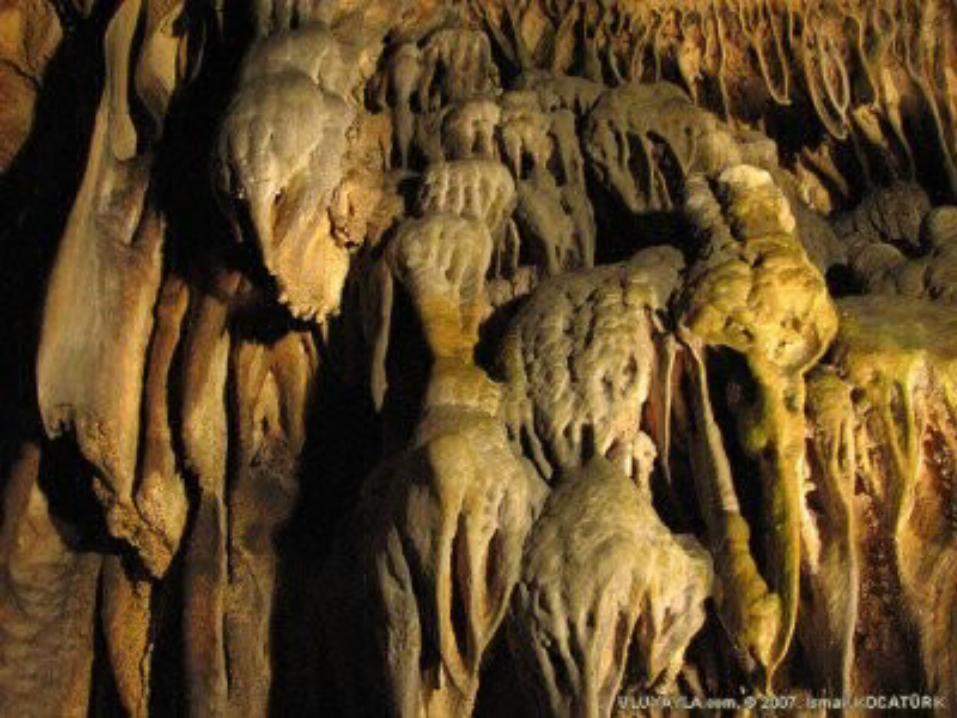
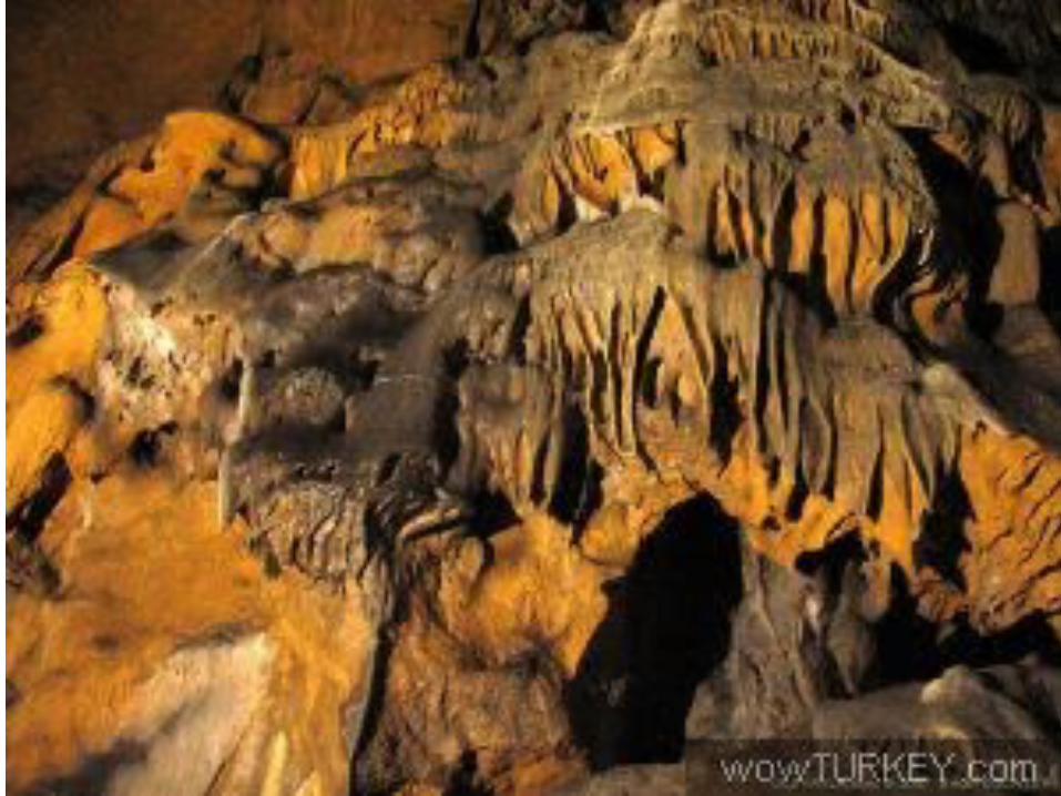
CAVES
There are also some very nice caves to be seen in Karabük.
The most significant ones are Bulak and Hızar (Mencilis) Caves.
They are very valuable from the point of tourism and have got carstic formations..

CLIMATE
The climate of the Karabük Province is partially Black Sea climate but as is located inland, away from the sea the province can not make use of the moisture air of the Black Sea and therefore is mostly under the effect of terrestrial climate. However the severe winter colds and dry summer hot temperature of Central Anatolia is not encountered. The most precipitant months are spring and winter months.
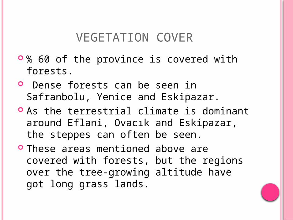
VEGETATION COVER
% 60 of the province is covered with forests. Dense forests can be seen in Safranbolu,
Yenice and Eskipazar. As the terrestrial climate is dominant around
Eflani, Ovacık and Eskipazar, the steppes can often be seen.
These areas mentioned above are covered with forests, but the regions over the tree-growing altitude have got long grass lands.
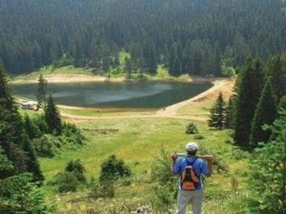

RIVERS AND LAKES
The most important river of the province is Filyos River.
Filyos River takes different names from the point it comes out to the sea where it flows into.
It is known as ‘Ulusu’ where it comes out, ‘Gerede Water’ while passing near Gerede, ‘Soğanlı Stream’ near Eskipazar and ‘Yenice River’ when it mixes with ‘Araç Stream’.
Filyos River, which also takes ‘Devrek Stream’ into its body, flows into the Black Sea. It is 288 km. long.
There are no big, natural lakes in Karabük.
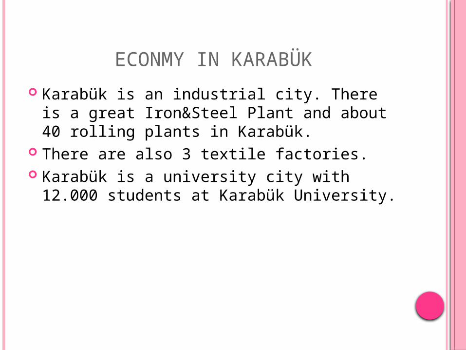
ECONMY IN KARABÜK
Karabük is an industrial city. There is a great Iron&Steel Plant and about 40 rolling plants in Karabük.
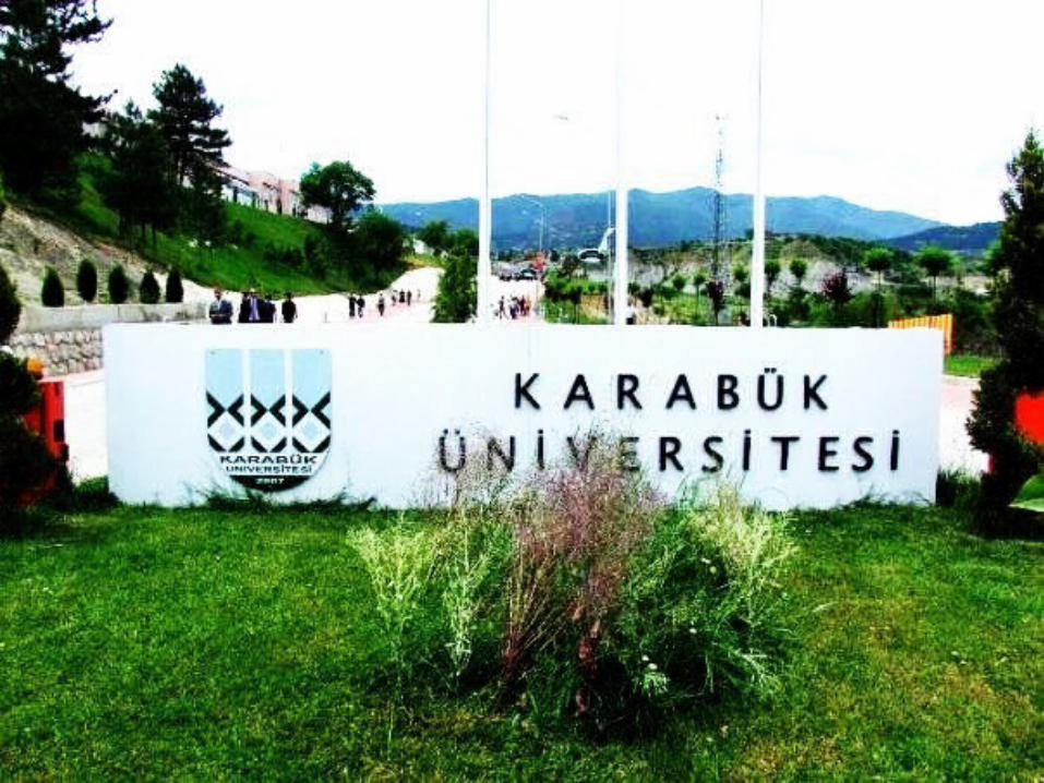
There are also 3 textile factories. Karabük is a university city with 12.000
students at Karabük University.

DEMİR ÇELİK FABRİKASI