24
Land
| Date post: | 31-Dec-2015 |
| Category: |
Documents |
| Upload: | isaac-dorsey |
| View: | 215 times |
| Download: | 3 times |
Land

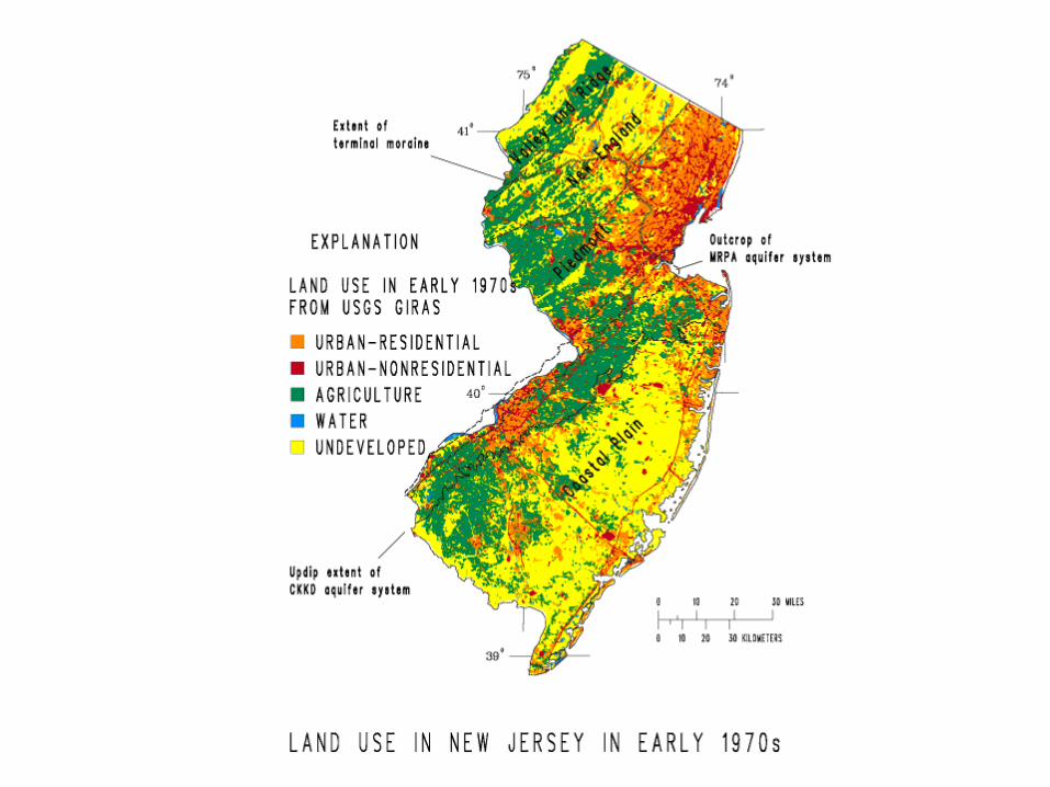
How We Use Land• Land use and cover
– What you find on a patch of land
• Farm, forest, city, wetlands, homes, etc…
– Urban
• Buildings and roads
• > 2,500 people
– Rural
• Open space
• Few people

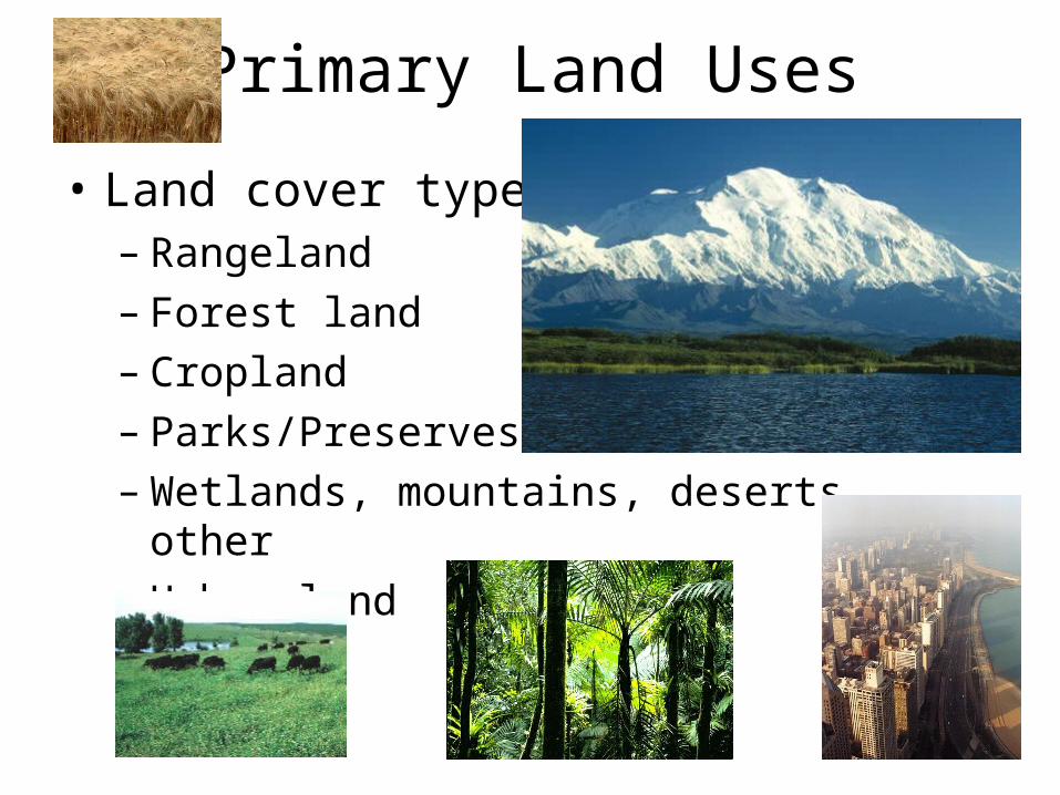
Primary Land Uses
• Land cover types– Rangeland– Forest land– Cropland– Parks/Preserves– Wetlands, mountains, deserts, other– Urban land
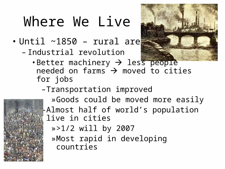
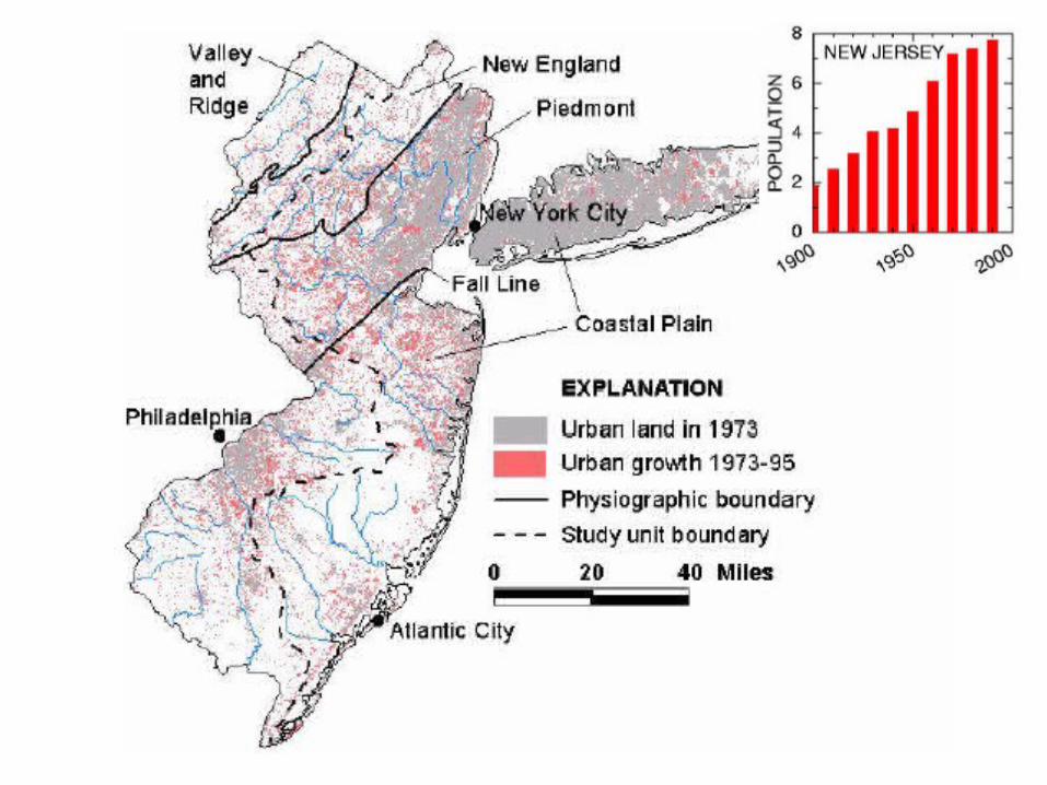
Where We Live• Until ~1850 – rural areas
– Industrial revolution• Better machinery less people needed on
farms moved to cities for jobs–Transportation improved
»Goods could be moved more easily–Almost half of world’s population live in
cities»>1/2 will by 2007»Most rapid in developing countries
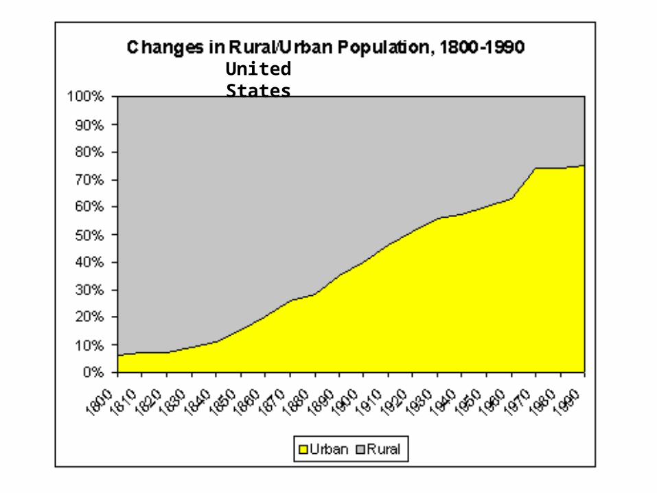
United States
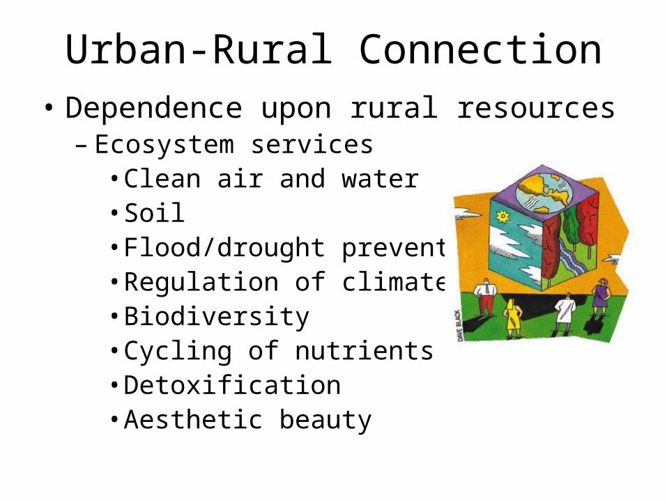
Urban-Rural Connection• Dependence upon rural resources
– Ecosystem services• Clean air and water• Soil• Flood/drought prevention• Regulation of climate• Biodiversity• Cycling of nutrients• Detoxification• Aesthetic beauty
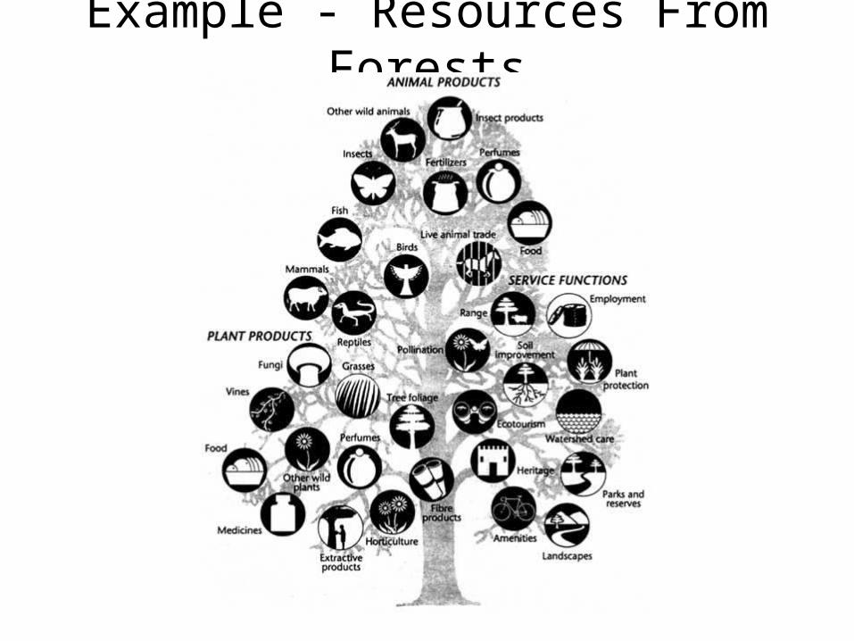
Example - Resources From Forests
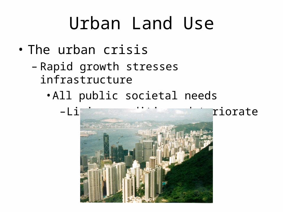
Urban Land Use
• The urban crisis– Rapid growth stresses infrastructure
• All public societal needs–Living conditions deteriorate
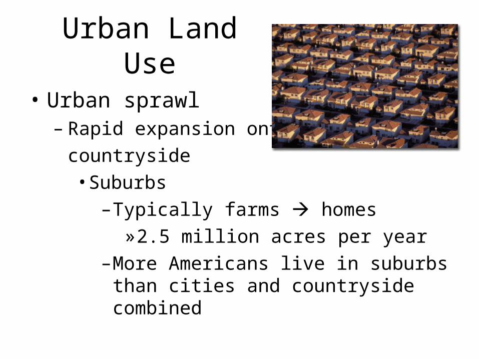
Urban Land Use
• Urban sprawl– Rapid expansion onto
countryside• Suburbs
–Typically farms homes»2.5 million acres per year
–More Americans live in suburbs than cities and countryside combined
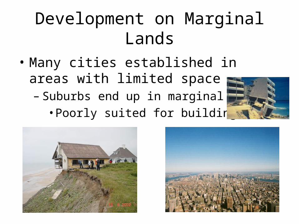
Development on Marginal Lands
• Many cities established in areas with limited space– Suburbs end up in marginal areas
• Poorly suited for building
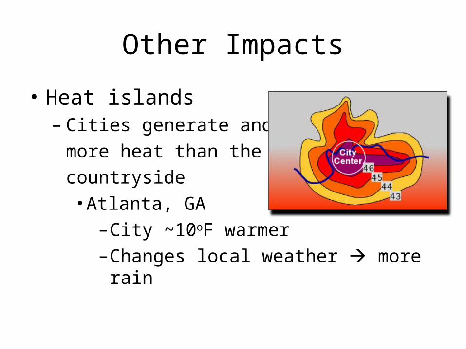
Other Impacts
• Heat islands– Cities generate and trap
more heat than the
countryside• Atlanta, GA
–City ~10oF warmer–Changes local weather more rain
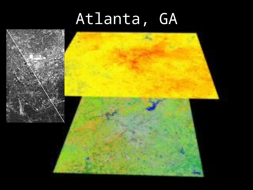
Atlanta, GA
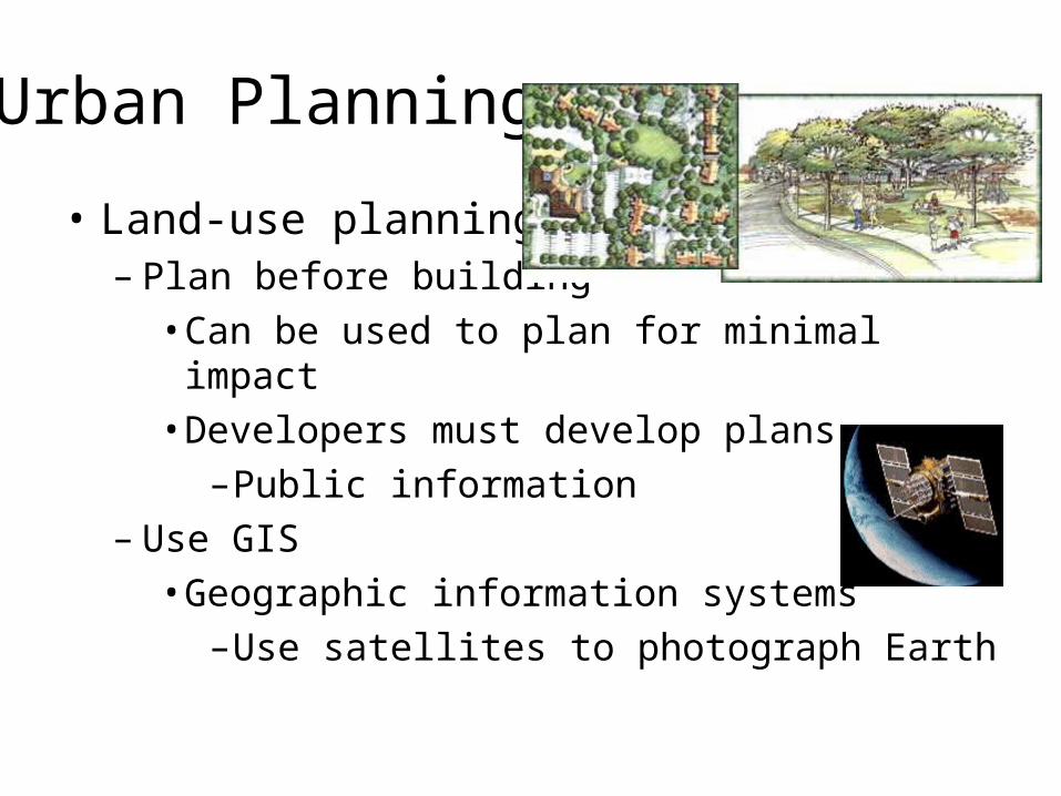
Urban Planning
• Land-use planning– Plan before building
• Can be used to plan for minimal impact• Developers must develop plans
–Public information– Use GIS
• Geographic information systems–Use satellites to photograph Earth

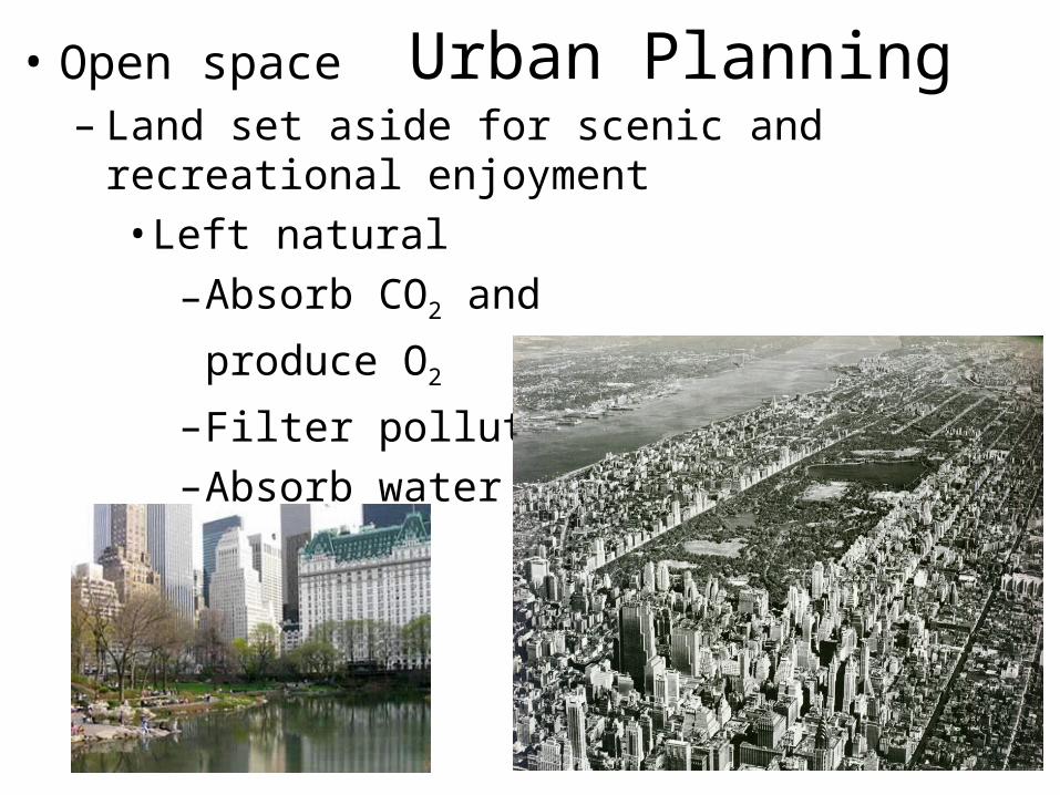
Urban Planning• Open space– Land set aside for scenic and recreational
enjoyment• Left natural
–Absorb CO2 and
produce O2
–Filter pollutants–Absorb water
Management and Conservation
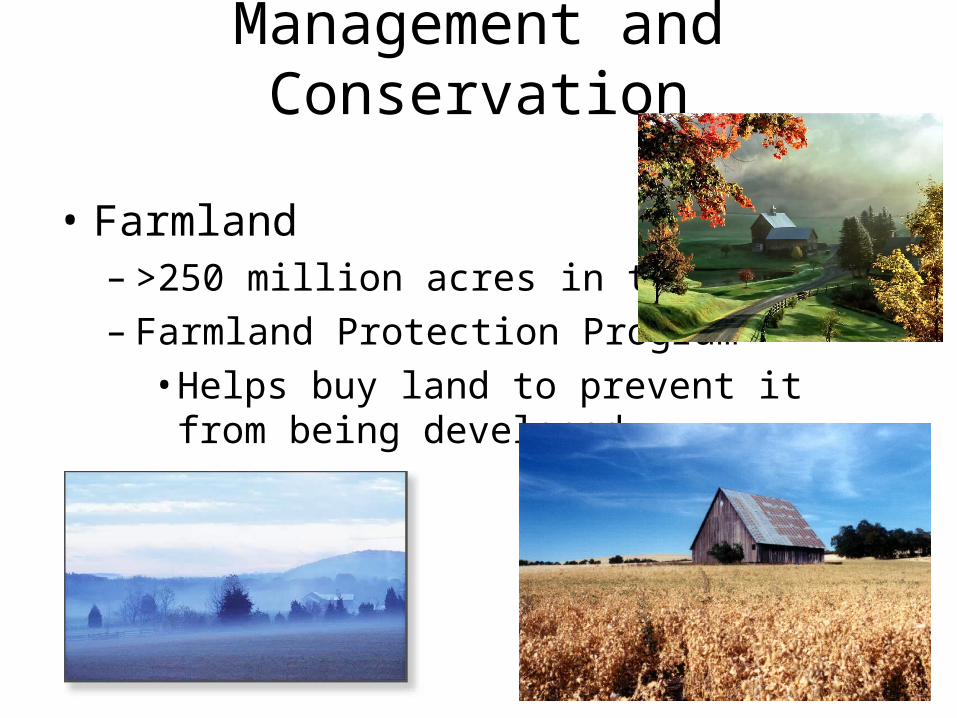
• Farmland– >250 million acres in the US– Farmland Protection Program
• Helps buy land to prevent it from being developed
Management and Conservation
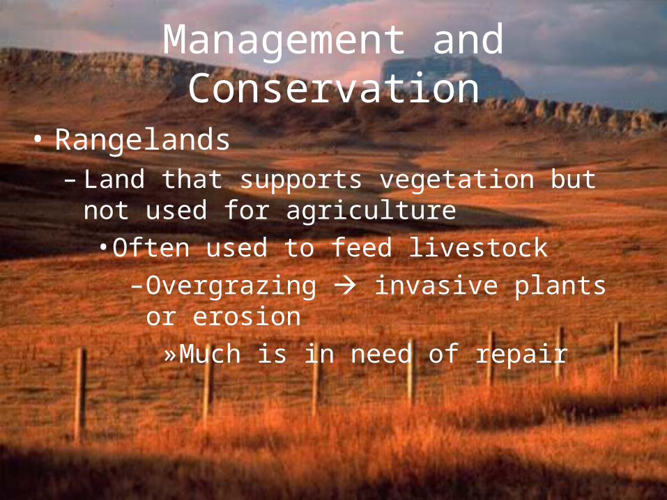
• Rangelands– Land that supports vegetation but not used for
agriculture• Often used to feed livestock
–Overgrazing invasive plants or erosion»Much is in need of repair

Management and Conservation• Forest lands
– Trees harvested for many uses– Wood use
• 1,800 cm3/person/day• Person in US – 100 ft tree/year
– Clear-cutting• Cutting down all trees in an
area– Selective cutting
• Removing only middle-aged and mature trees
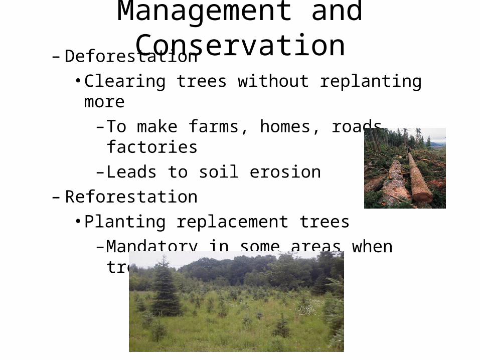
Management and Conservation– Deforestation
• Clearing trees without replanting more–To make farms, homes, roads, factories–Leads to soil erosion
– Reforestation• Planting replacement trees
–Mandatory in some areas when trees are cut down
Management and Conservation
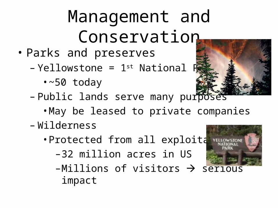
• Parks and preserves– Yellowstone = 1st National Park
• ~50 today– Public lands serve many purposes
• May be leased to private companies– Wilderness
• Protected from all exploitation–32 million acres in US–Millions of visitors serious impact


