64
TUSHAR SACHDEVA
| Date post: | 11-Apr-2017 |
| Category: |
Education |
| Upload: | nikhil-marwaha |
| View: | 1,606 times |
| Download: | 3 times |
TUSHAR SACHDEVA
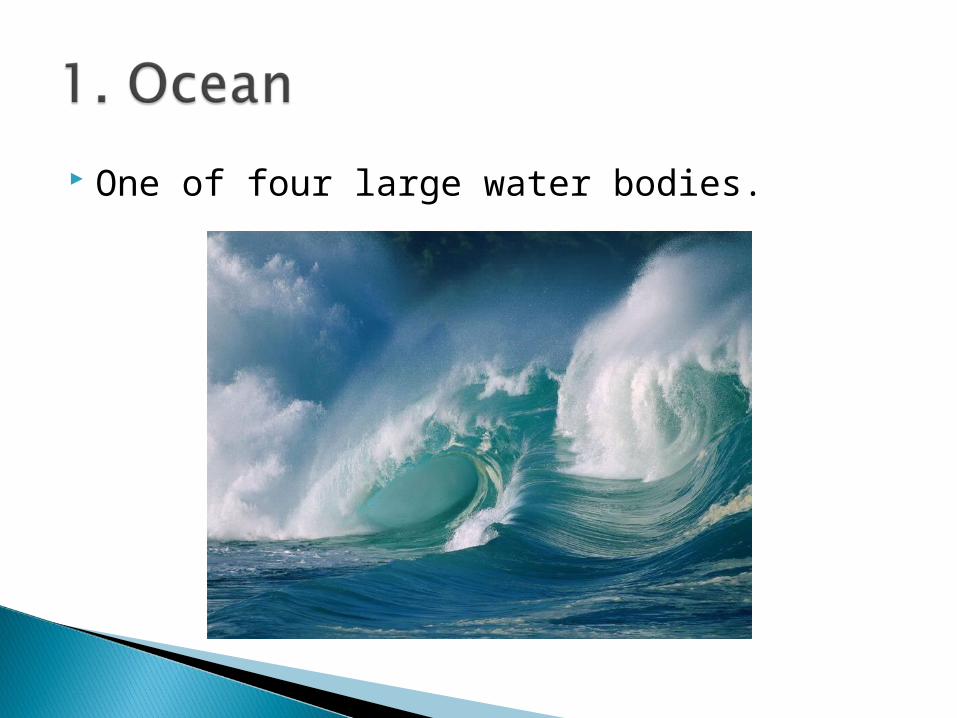
One of four large water bodies.

A continuous body of salt water, usually a region within an ocean.
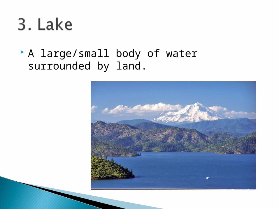
A large/small body of water surrounded by land.
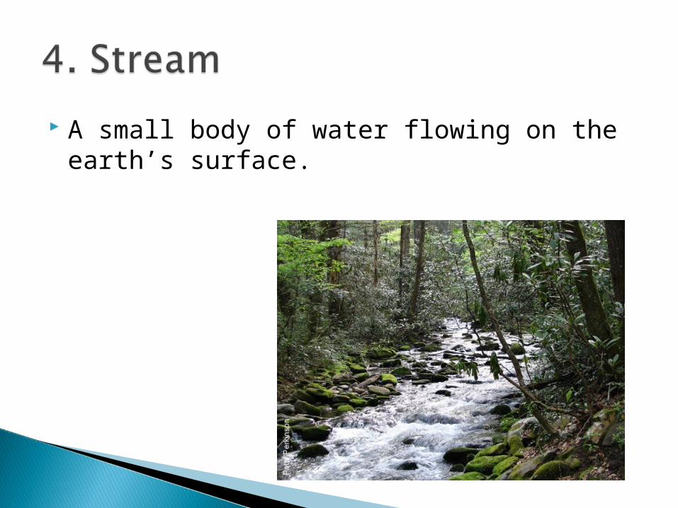
A small body of water flowing on the earth’s surface.

A large area of sea or ocean partially enclosed by land.
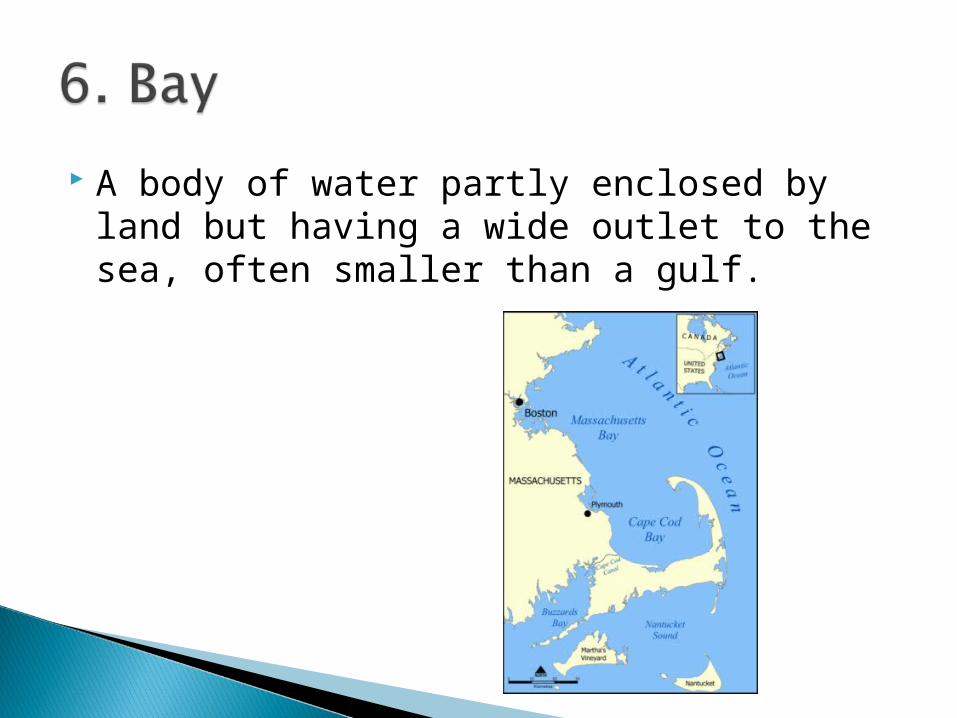
A body of water partly enclosed by land but having a wide outlet to the sea, often smaller than a gulf.

A narrow passage of water between two larger bodies of water.
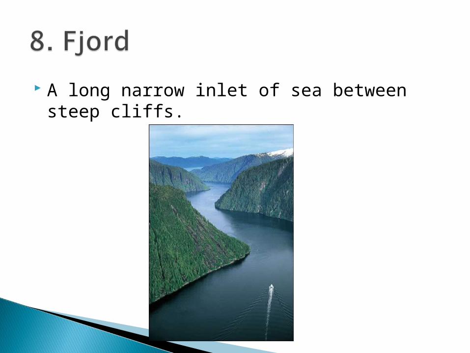
A long narrow inlet of sea between steep cliffs.

A large natural stream of water.
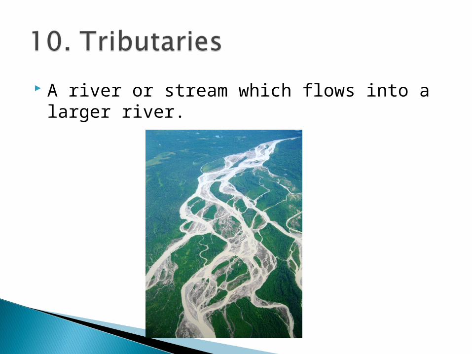
A river or stream which flows into a larger river.
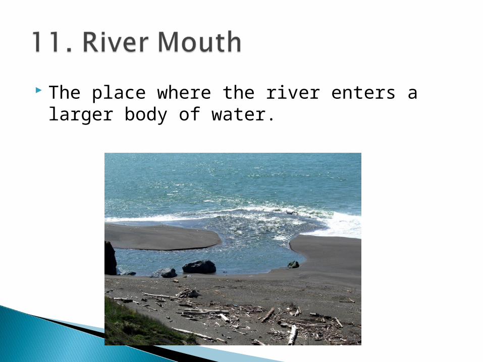
The place where the river enters a larger body of water.

A large mass of slow moving ice, formed from compacted snow.

A man-made wall built to separate and protect a harbor from the sea.

A body of water stored for public use.

A barrier built across water to control the flow of water.
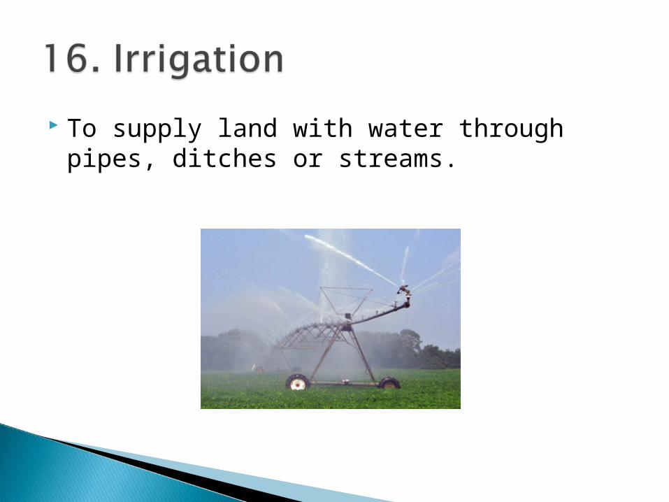
To supply land with water through pipes, ditches or streams.

A man-made water way or channel.
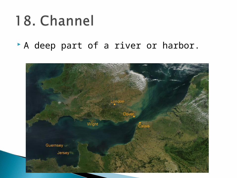
A deep part of a river or harbor.
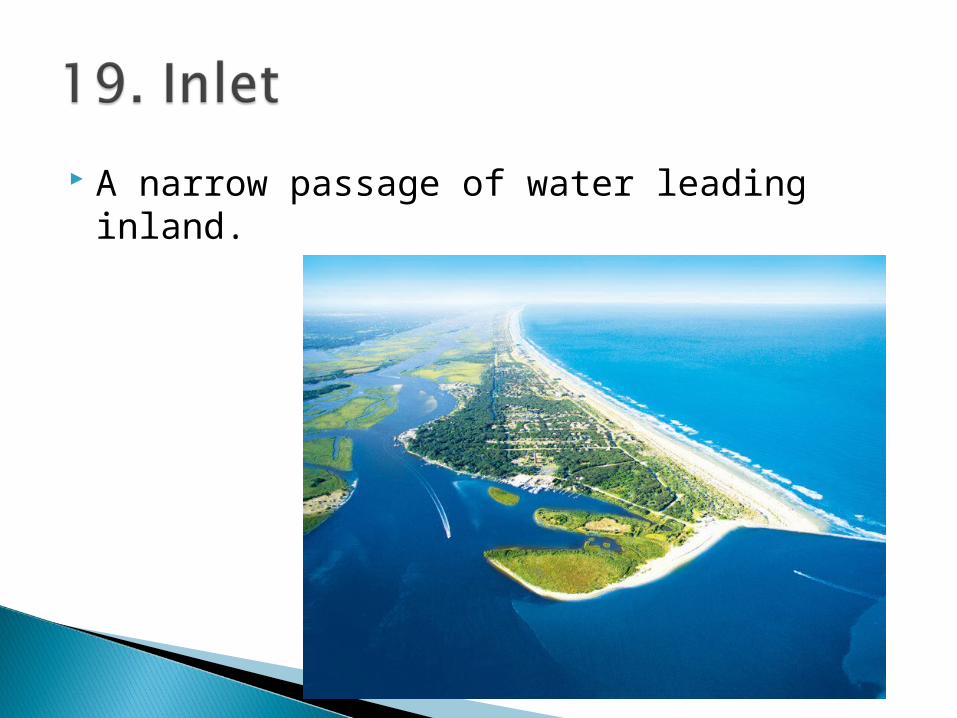
A narrow passage of water leading inland.

A shallow body of water separated from the sea by sandbars or coral reefs.

An angular deposit of soil at the mouth of a river.

A long body of water, wider than a strait or channel which usually connects two bodies of water.

A town with a harbor.
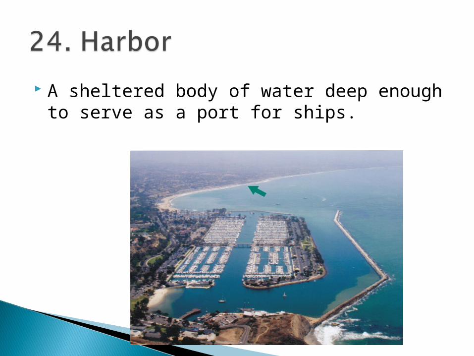
A sheltered body of water deep enough to serve as a port for ships.
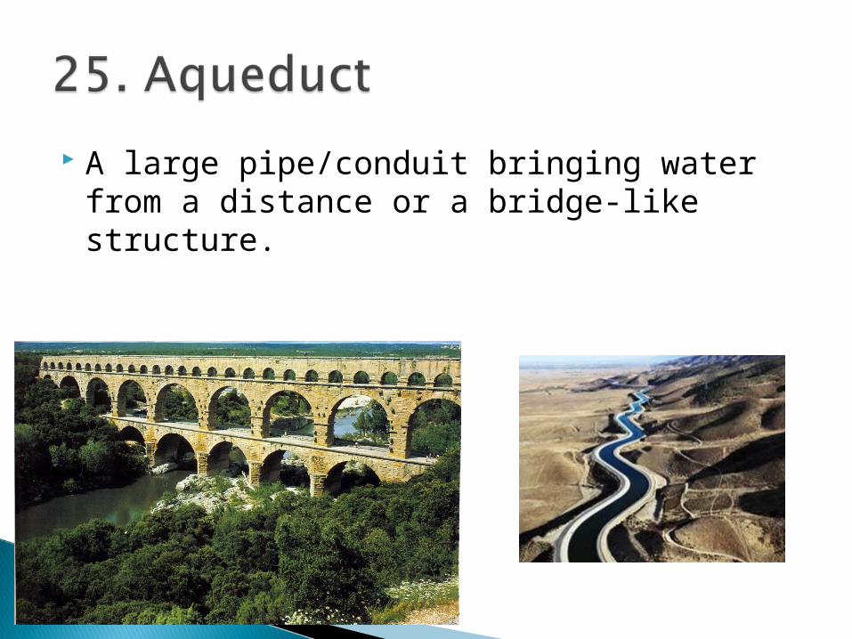
A large pipe/conduit bringing water from a distance or a bridge-like structure.
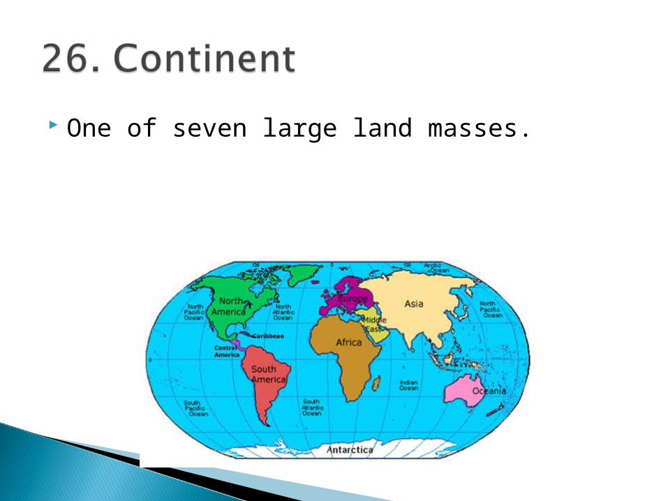
One of seven large land masses.

A narrow strip of land connecting two larger masses of land.

A long projection of land into water and surrounded by water on three sides.

A land mass smaller than a continent surrounded by water.

A point or head of land projecting into the sea or other body of water.
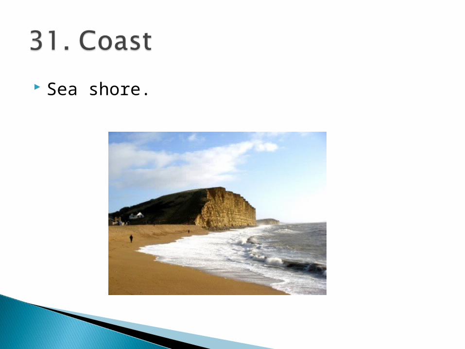
Sea shore.
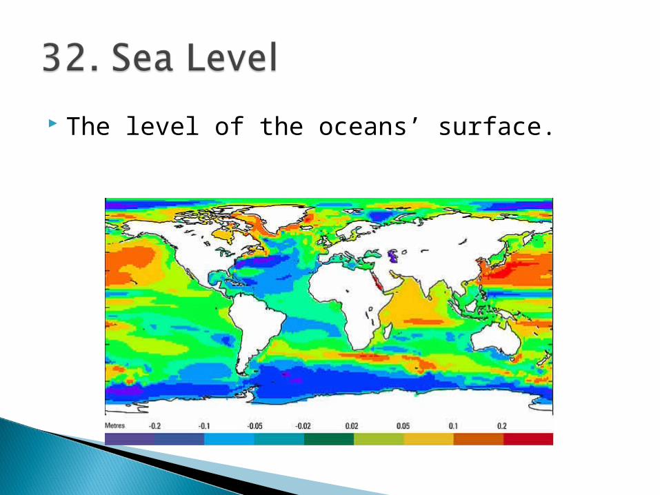
The level of the oceans’ surface.

A natural elevation of the earth’s surface greater in height than a hill.
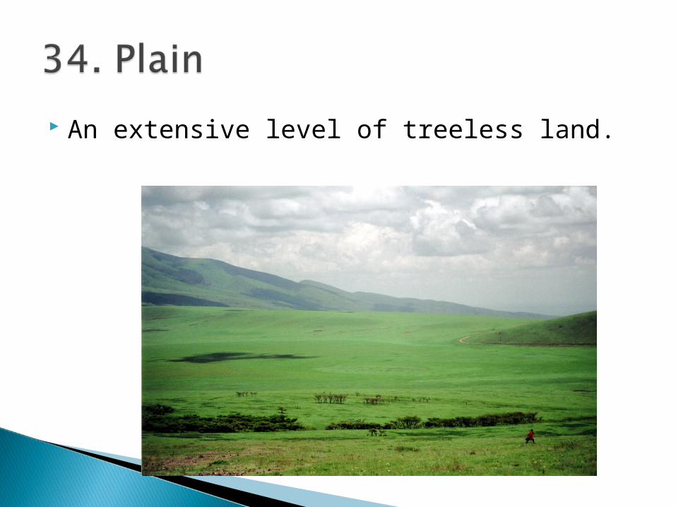
An extensive level of treeless land.

Elevated piece of land generally longer than a mile.
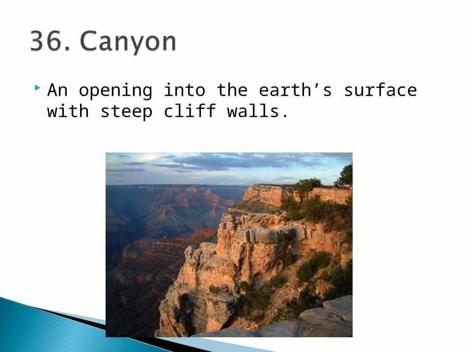
An opening into the earth’s surface with steep cliff walls.

A well-defined natural elevation smaller than a mountain.

A low hill area near the base of mountains.
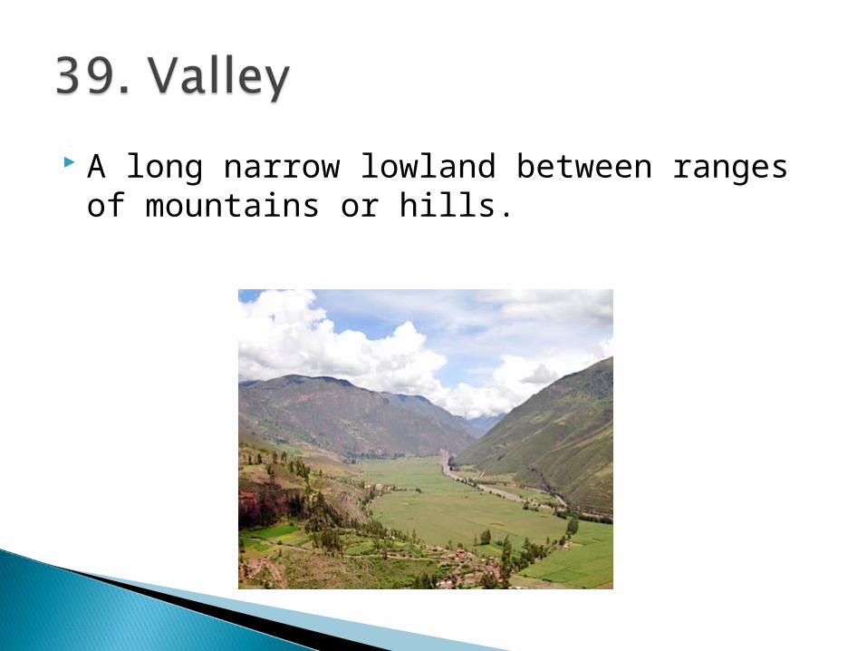
A long narrow lowland between ranges of mountains or hills.
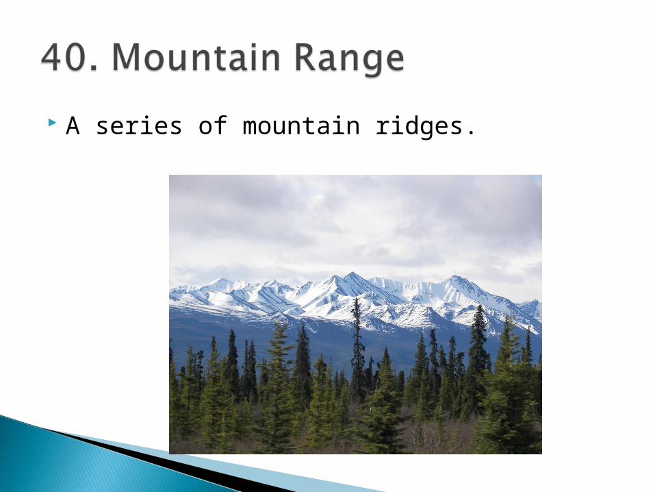
A series of mountain ridges.

A mountainous region of a country.

An extensive stretch of higher ground from each side of which the river systems of a continent flow.

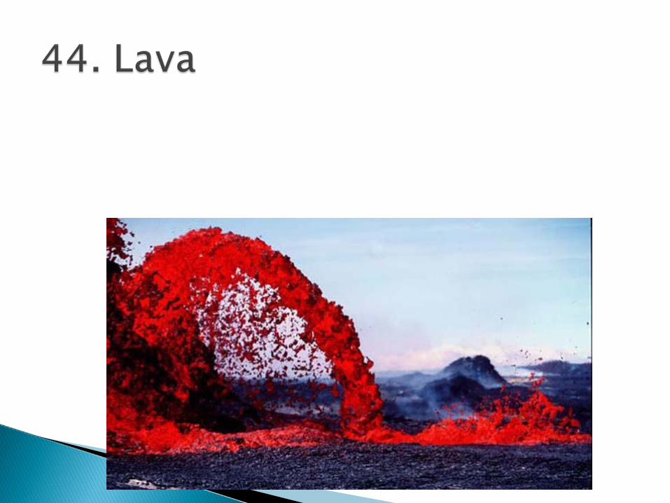
An opening in the crust of the earth through which molten lava, dust, rock, ash and gas are ejected.
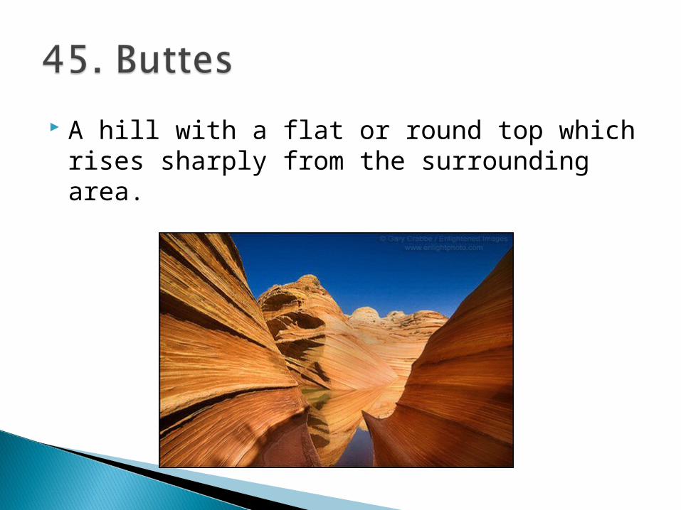
A hill with a flat or round top which rises sharply from the surrounding area.
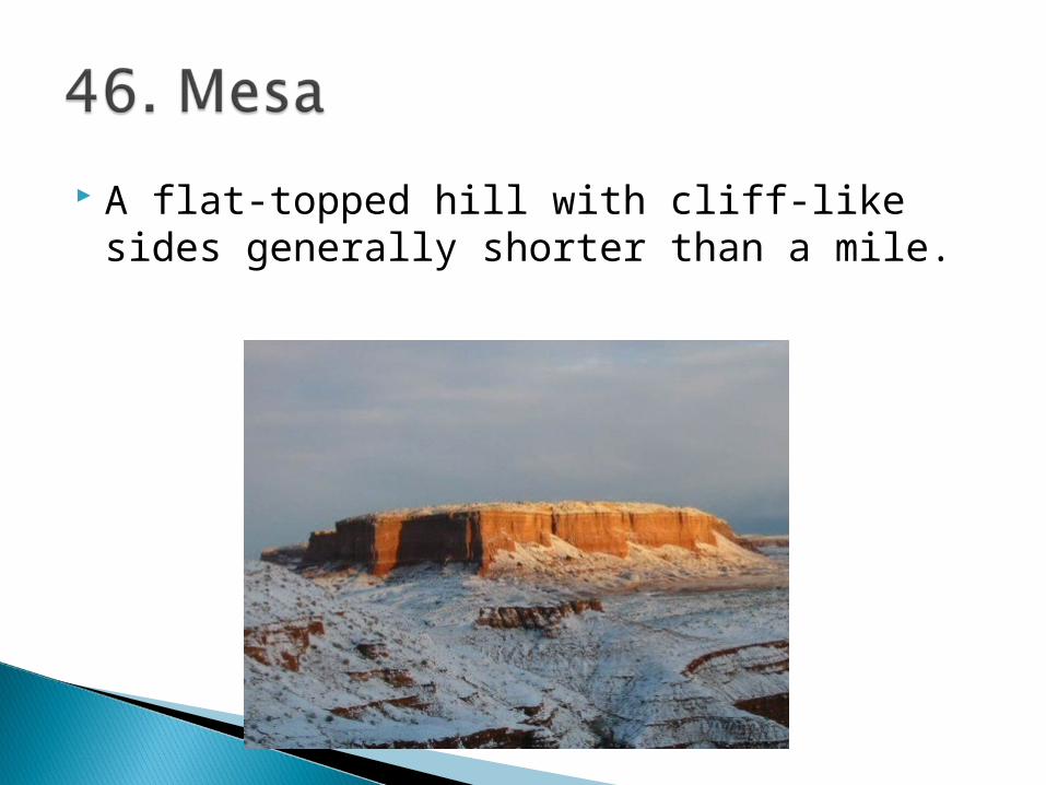
A flat-topped hill with cliff-like sides generally shorter than a mile.

An extensive area of rolling grassland.

A narrow passage between mountains.
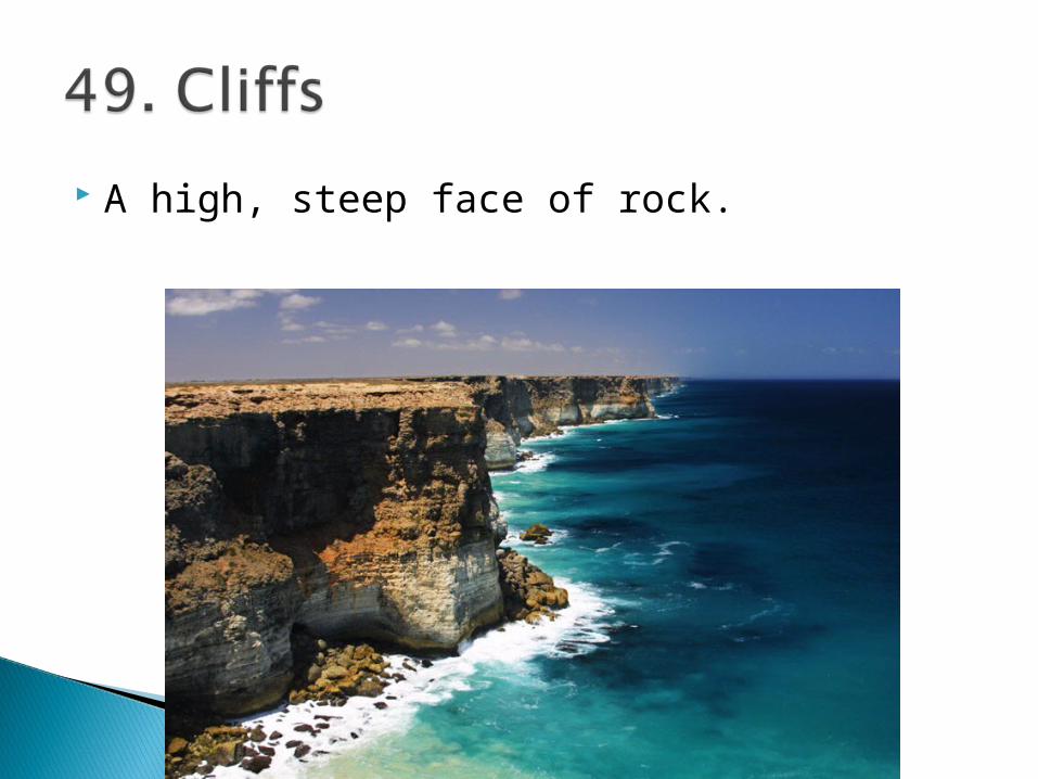
A high, steep face of rock.
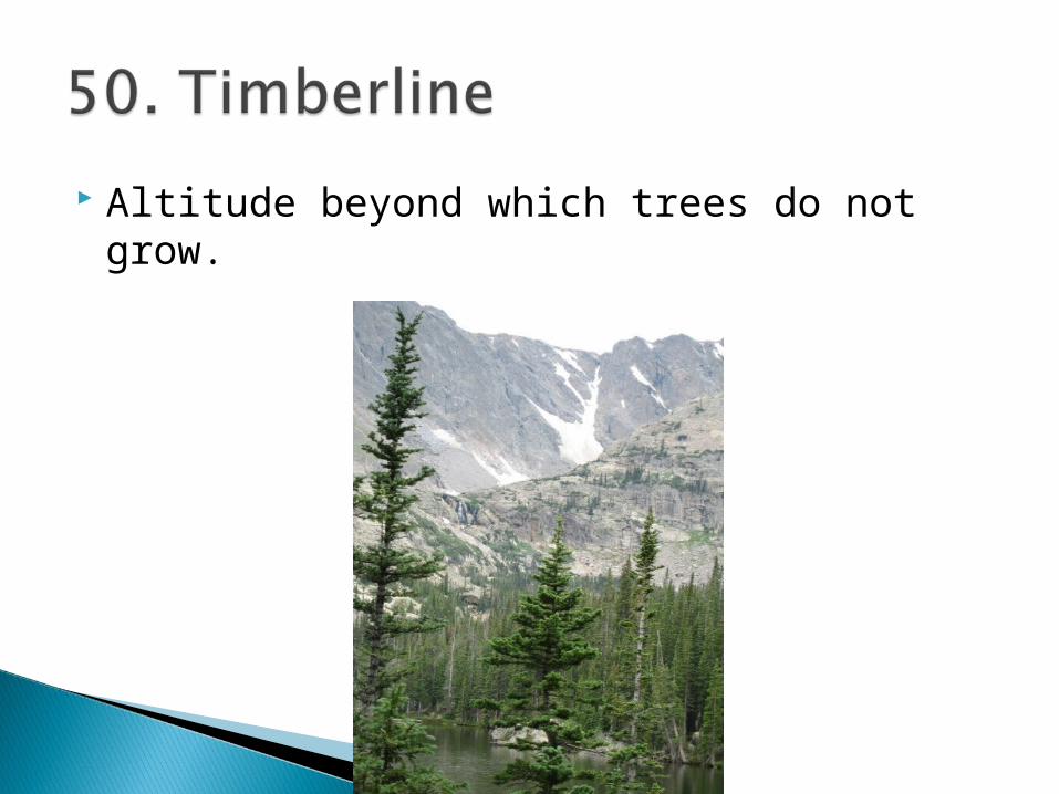
Altitude beyond which trees do not grow.

The dense growth of trees covering a large area.

An open excavation from which stone is taken.

A natural depression on the earth’s surface showing that there is an open area underground which is sinking.
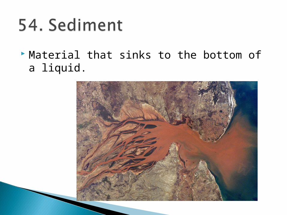
Material that sinks to the bottom of a liquid.
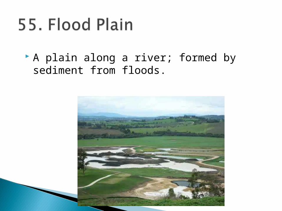
A plain along a river; formed by sediment from floods.
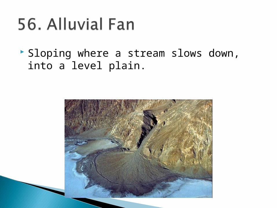
Sloping where a stream slows down, into a level plain.

Imaginary lines that run through both poles (N/S). The central line of longitude is called the Prime Meridian and it runs through the Royal Observatory in Greenwich, England. Lines tell us how far east and west we are from the PM.

Imaginary lines which tell us how far north or south one is from the Equator; the imaginary line exactly ½ way between N and S poles.

Central line of longitude that runs through N and S poles; Greenwich, England.

Central line of Latitude.
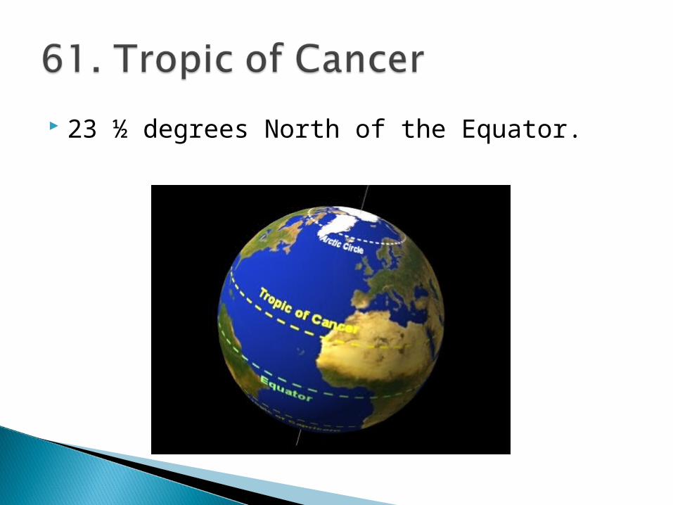
23 ½ degrees North of the Equator.
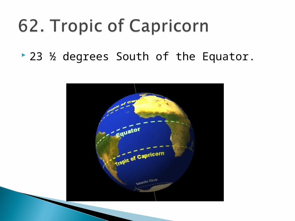
23 ½ degrees South of the Equator.

The division of the globe in halves (N/S are above/below Equator; E/W of Prime Meridian.


