38
Learning Resources in Geography Suresh.G.Isave, Associate Professor, Tilak College of Education, Pune-India
| Date post: | 15-Jul-2015 |
| Category: |
Education |
| Upload: | suresh-isave |
| View: | 254 times |
| Download: | 3 times |
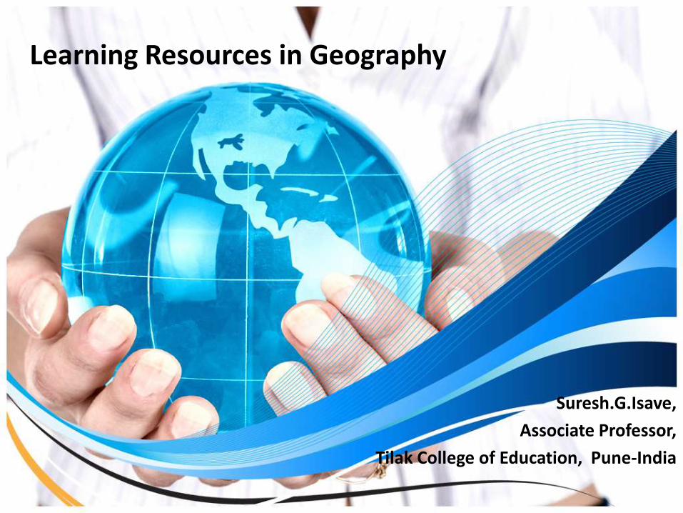
Learning Resources in Geography
Suresh.G.Isave,
Associate Professor,
Tilak College of Education, Pune-India
Definition
• Learning resources are texts, videos, software, and other resources that teachers use to assist students to meet the expectations for learning defined by curriculum.
2/18/2015 [email protected] 2
Need and Importance
• To help to enable better understanding of Geography subject.
• To make concepts clear.
• To create interest in Geography subject
• To frame the geographical attitude.
• To inculcate Geographical values.
• To cultivate the life skills through Geography.
• To make students a global citizen.
• To make students civilized human.
2/18/2015 [email protected] 3
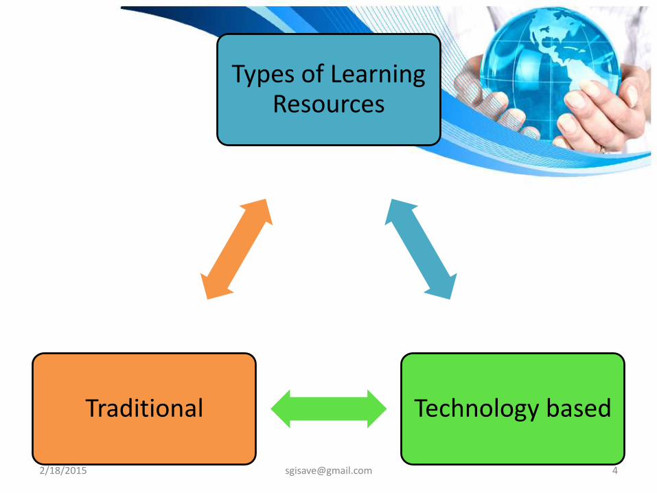
Traditional Learning ResourcesResources which can be used without technology
2/18/2015 [email protected] 5
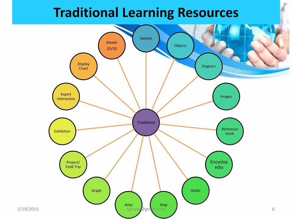
Traditional Learning Resources
Traditional
Sample
Objects
Diagram
Images
Reference book
Encyclopedia
Globe
MapAtlas
Graph
Project/ Field Trip
Exhibition
Expert interaction
Display Chart
Model
2D/3D
2/18/2015 [email protected] 6
2/18/2015 [email protected] 7
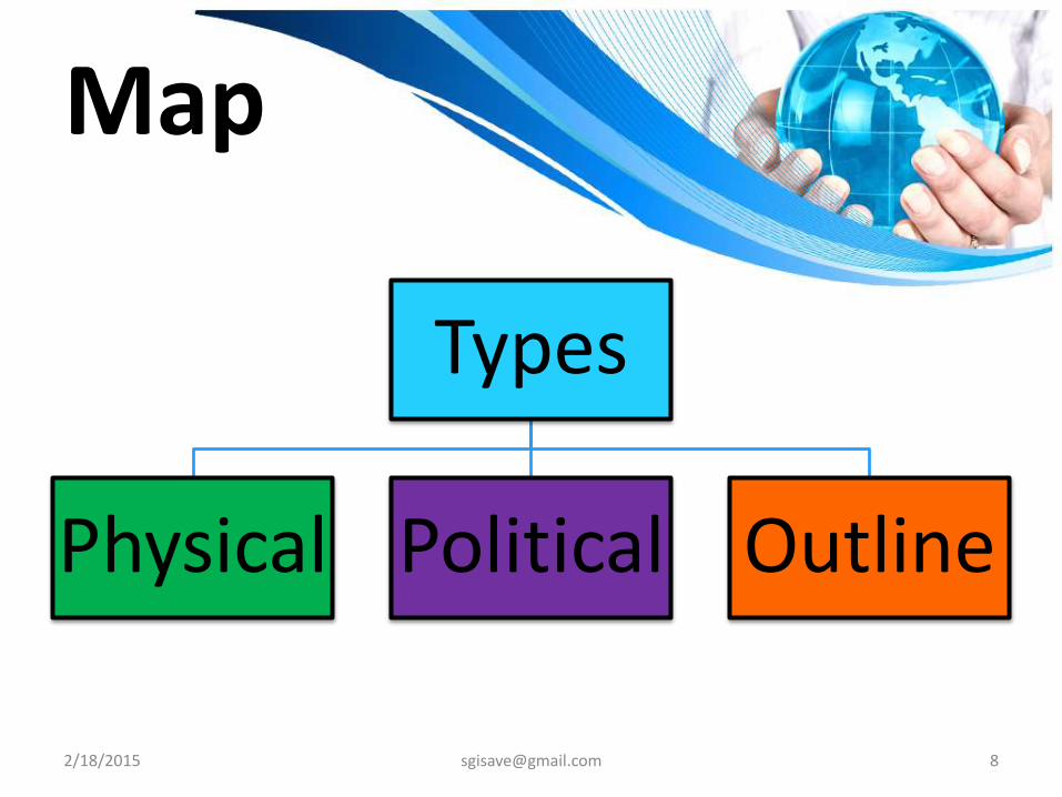
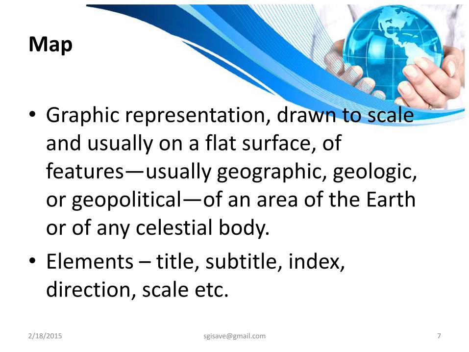
Map
• Graphic representation, drawn to scale and usually on a flat surface, of features—usually geographic, geologic, or geopolitical—of an area of the Earth or of any celestial body.
• Elements – title, subtitle, index, direction, scale etc.
2/18/2015 [email protected] 9
Use of Physical Map
To show –
Location.
Landforms – mountains, plateau, plains, depression etc.
Water bodies – Ocean, sea, rivers, lakes.
To explain the relation of climate and physiography of a particular location.
2/18/2015 [email protected] 10
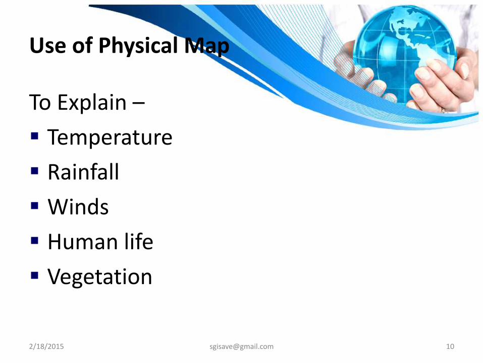
Use of Physical Map
To Explain –
Temperature
Rainfall
Winds
Human life
Vegetation
2/18/2015 [email protected] 11
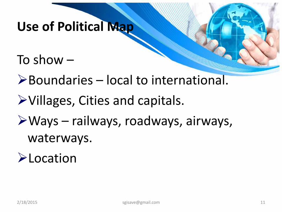
Use of Political Map
To show –
Boundaries – local to international.
Villages, Cities and capitals.
Ways – railways, roadways, airways, waterways.
Location
Use of outline map
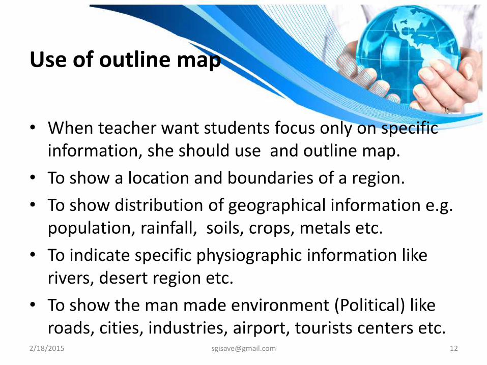
• When teacher want students focus only on specific information, she should use and outline map.
• To show a location and boundaries of a region.
• To show distribution of geographical information e.g. population, rainfall, soils, crops, metals etc.
• To indicate specific physiographic information like rivers, desert region etc.
• To show the man made environment (Political) like roads, cities, industries, airport, tourists centers etc.
2/18/2015 [email protected] 12
2/18/2015 [email protected] 13
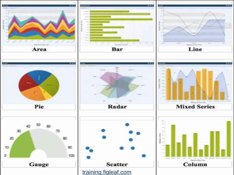
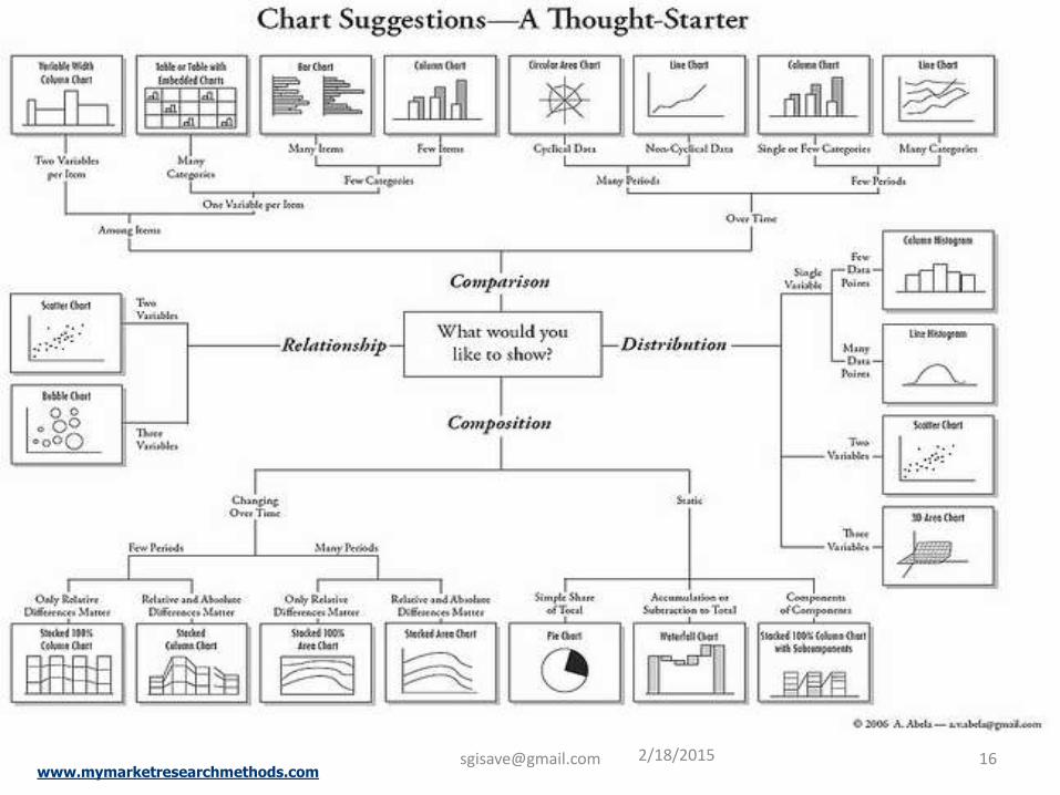
Graph
Visual representation of a data set or a mathematical equation, inequality, or function to show relationships or tendencies that these formulas can only suggest symbolically and abstractly.
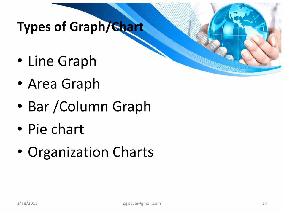
Types of Graph/Chart
• Line Graph
• Area Graph
• Bar /Column Graph
• Pie chart
• Organization Charts
2/18/2015 [email protected] 14
www.mymarketresearchmethods.com2/18/[email protected] 16
2/18/2015 [email protected] 17
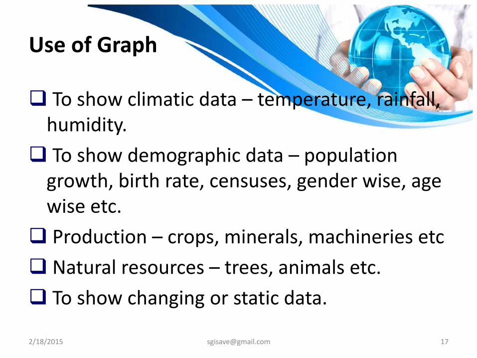
Use of Graph
To show climatic data – temperature, rainfall, humidity.
To show demographic data – population growth, birth rate, censuses, gender wise, age wise etc.
Production – crops, minerals, machineries etc
Natural resources – trees, animals etc.
To show changing or static data.
2/18/2015 [email protected] 18
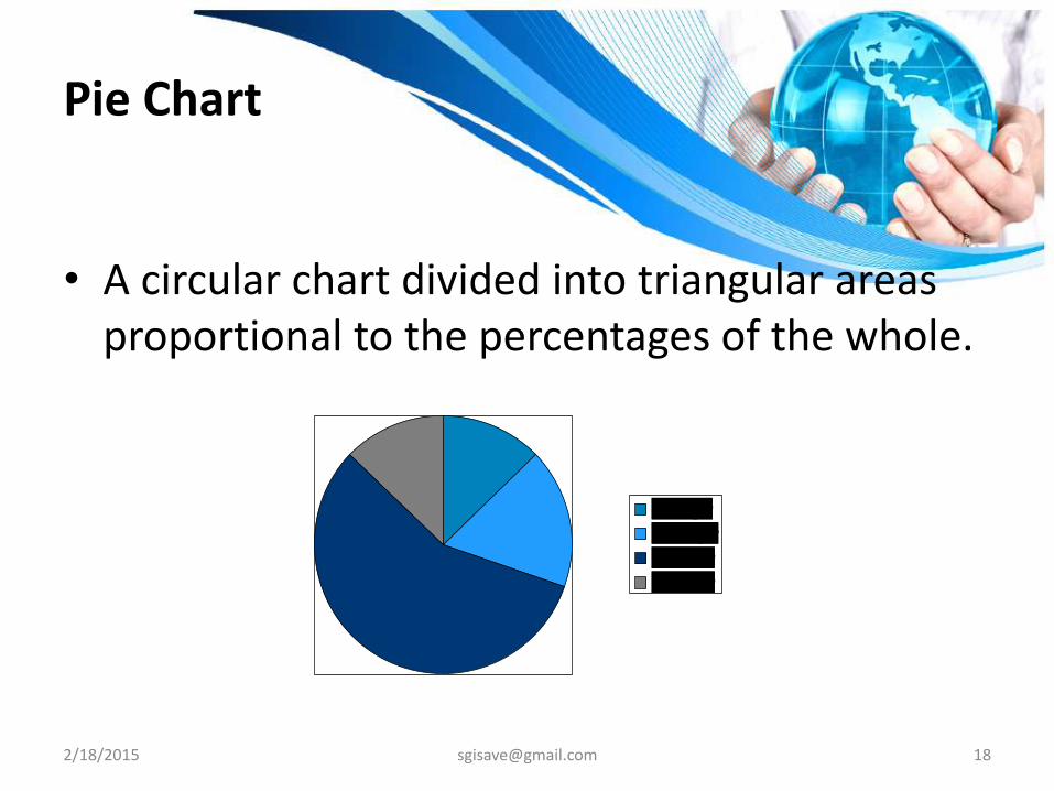
Pie Chart
• A circular chart divided into triangular areas proportional to the percentages of the whole.
1st Qtr
2nd Qtr
3rd Qtr
4th Qtr
2/18/2015 [email protected] 19
Use of Pie Chart
To show comparative proportion in a particular area -
o Natural resources – soil, gas, land-water, vegetation, animals, minerals etc.
o Human occupation, production of things etc.
o Demographic features.
2/18/2015 [email protected] 20
Model
Miniature representation of something.
A hypothetical description of a complex entity or process.
Small scale imitation of real and imaginary things.
2/18/2015 [email protected] 21
Use of Model
Eclipses
Volcano
Movement of earth surface
Work of natural agents- wind, water etc.
Dam
Human settlement.
2/18/2015 [email protected] 22
Sample
• Small amount of material with same attributes.
• Use – Crop, soil, rock, food, water, metals etc.
Diagram
• Diagram helps students to understand relation, proportion, process and visualized nature of a concept.
• Interior of earth, rainfall, weathering etc.
2/18/2015 [email protected] 24
Display Chart
• Big sized chart which can be displayed in the classroom so student can be touch with subject during school hours.
• Important key concepts should be made with students’ help and displayed in a classroom or corridor.
• E.g. latitude, season, temperature zone, planetary wind, direction and sub-direction etc.
2/18/2015 [email protected] 25
Object
• Object gives opportunity to observe real thing and get first hand experience.
• e.g. metallic-non metallic objects, costume or jewelry worn in specific region, art-craft etc.
2/18/2015 [email protected] 26
Field Trip/Project
• The resource is useful to give real life experience to students.
• The things which are mentioned in a text book can be verified by field trip and projects.
• E.g. – visit to Pot holes at Noghoj, V-shaped valley at Tahmini, Honeycomb structure at Harihareshwar etc.
2/18/2015 [email protected] 27
Technology Based Learning Resources
Resources which requires the support of technology
2/18/2015 [email protected] 28
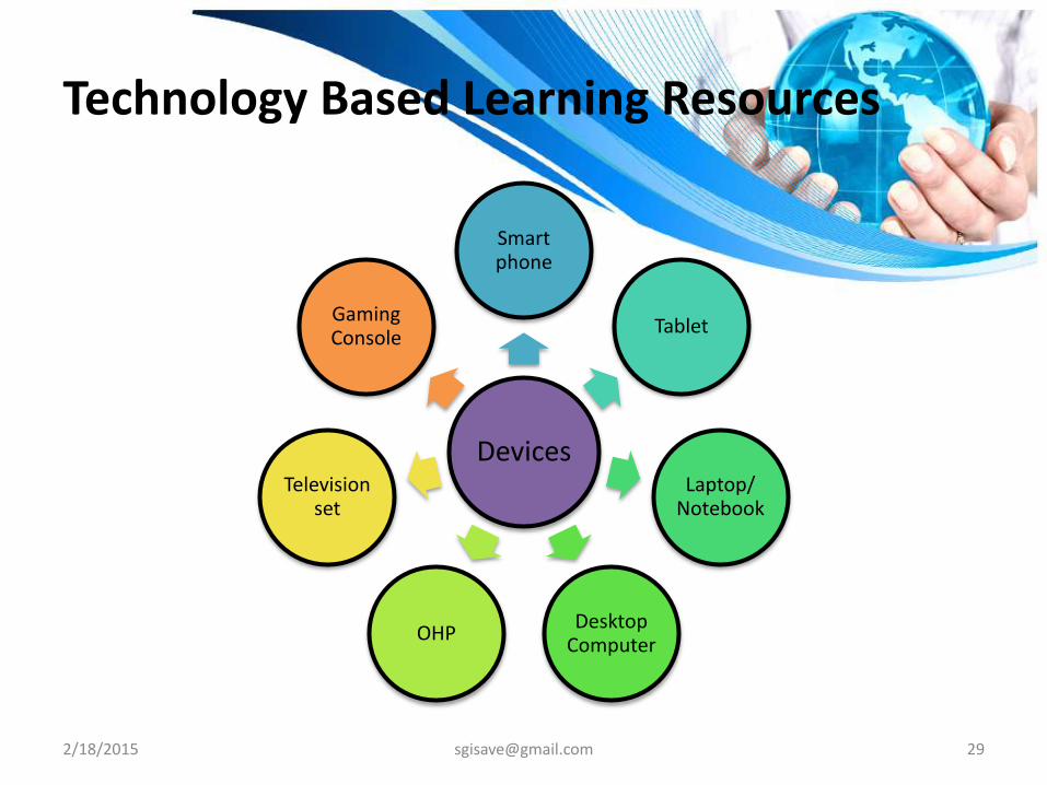
Technology Based Learning Resources
Devices
Smart phone
Tablet
Laptop/ Notebook
Desktop Computer
OHP
Television set
Gaming Console
2/18/2015 [email protected] 29
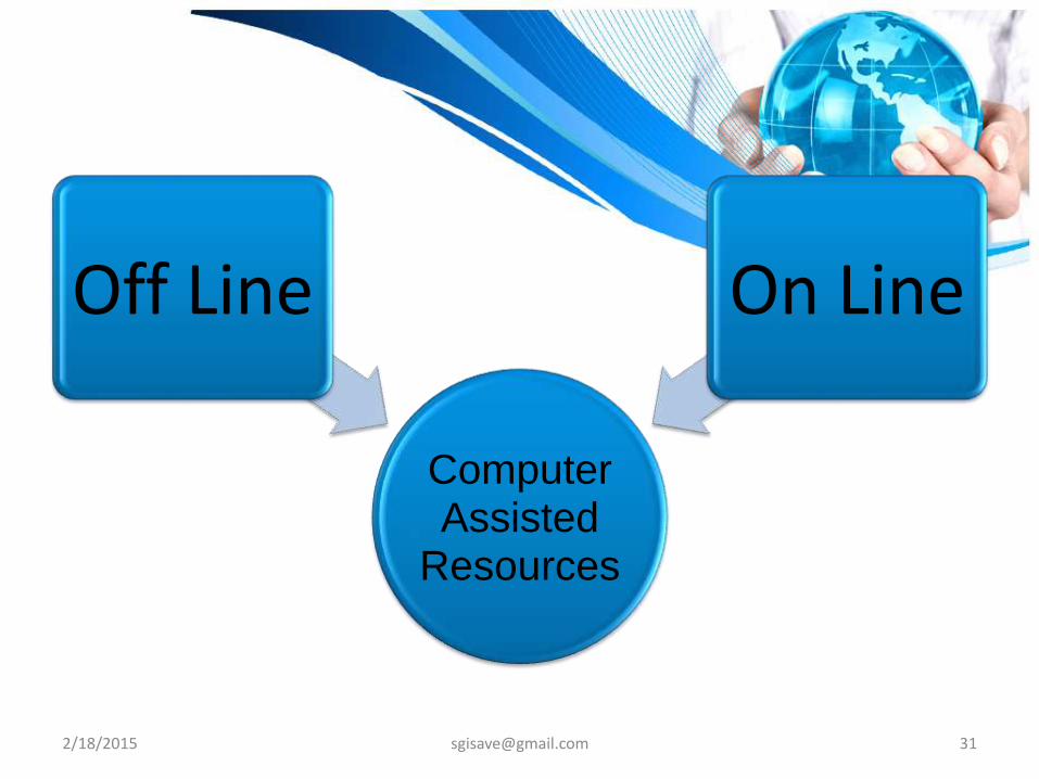
Technology Based Learning Resources
2/18/2015 [email protected] 30
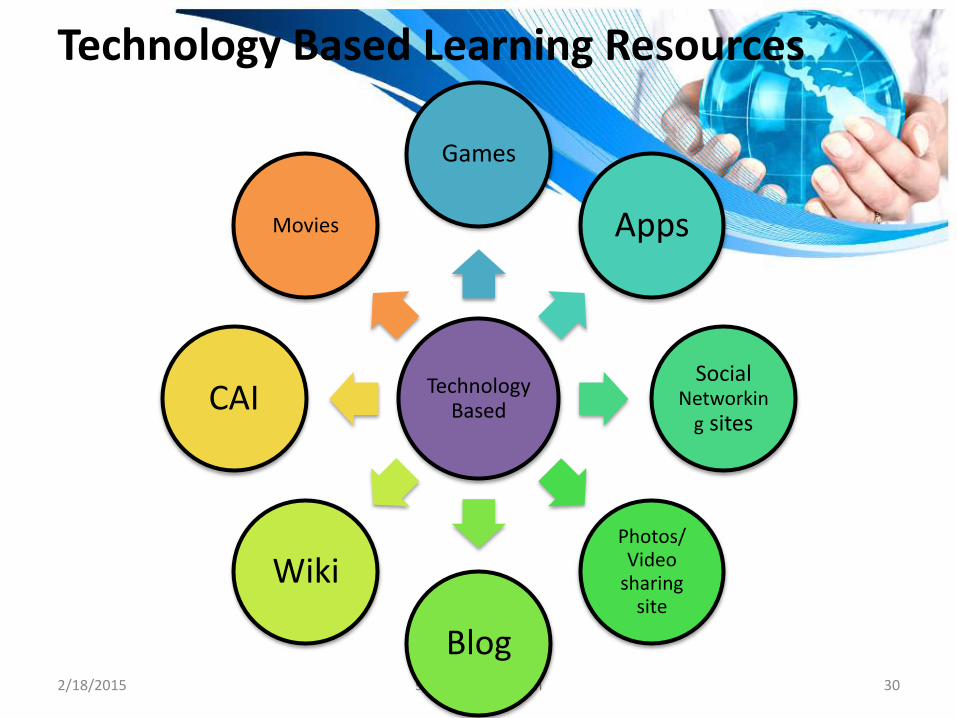
Technology Based
Games
Apps
Social Networkin
g sites
Photos/ Video
sharing site
Blog
Wiki
CAI
Movies
2/18/2015 [email protected] 32
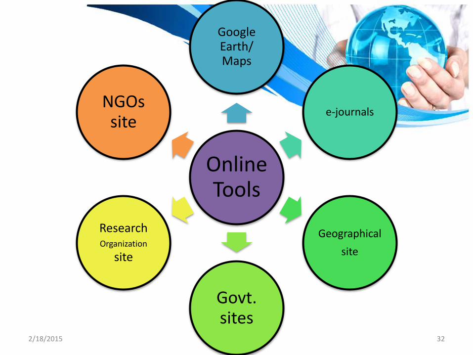
Online Tools
Google Earth/ Maps
e-journals
Geographical
site
Govt. sites
Research Organization
site
NGOs site
2/18/2015 [email protected] 33
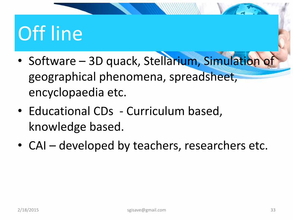
Off line • Software – 3D quack, Stellarium, Simulation of
geographical phenomena, spreadsheet, encyclopaedia etc.
• Educational CDs - Curriculum based, knowledge based.
• CAI – developed by teachers, researchers etc.
2/18/2015 [email protected] 34
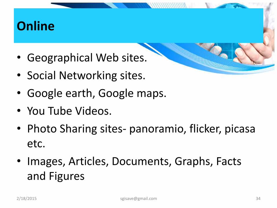
Online
• Geographical Web sites.
• Social Networking sites.
• Google earth, Google maps.
• You Tube Videos.
• Photo Sharing sites- panoramio, flicker, picasa etc.
• Images, Articles, Documents, Graphs, Facts and Figures
2/18/2015 [email protected] 35
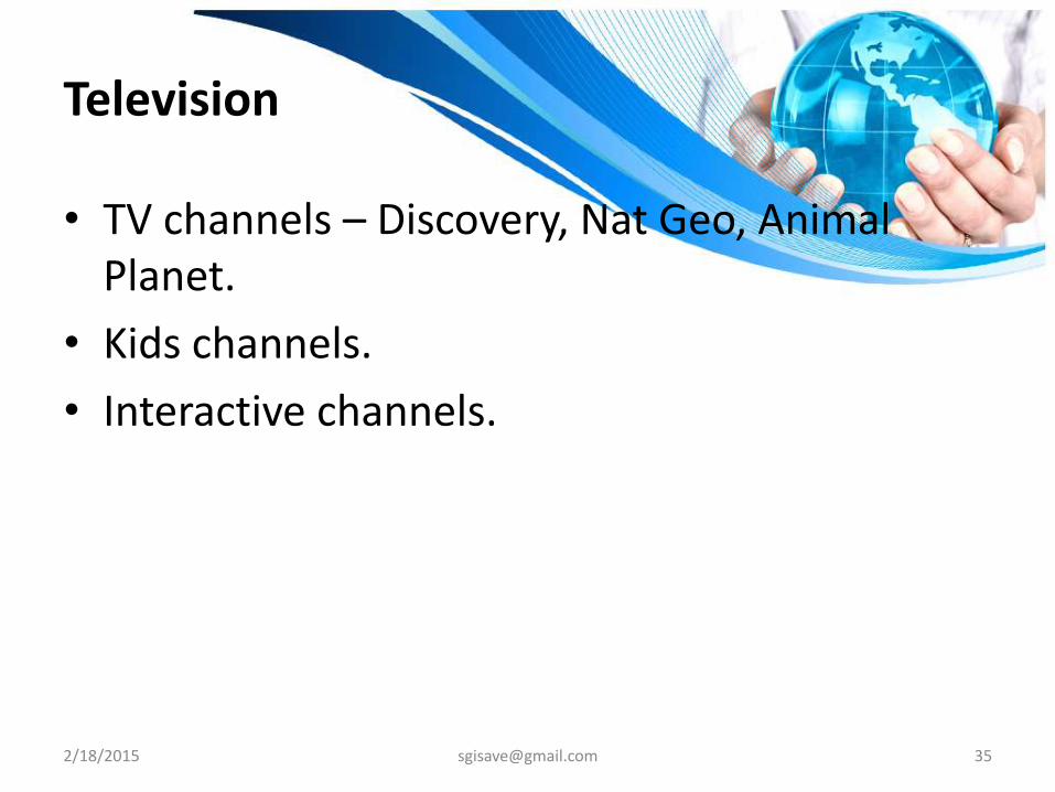
Television
• TV channels – Discovery, Nat Geo, Animal Planet.
• Kids channels.
• Interactive channels.
2/18/2015 [email protected] 36
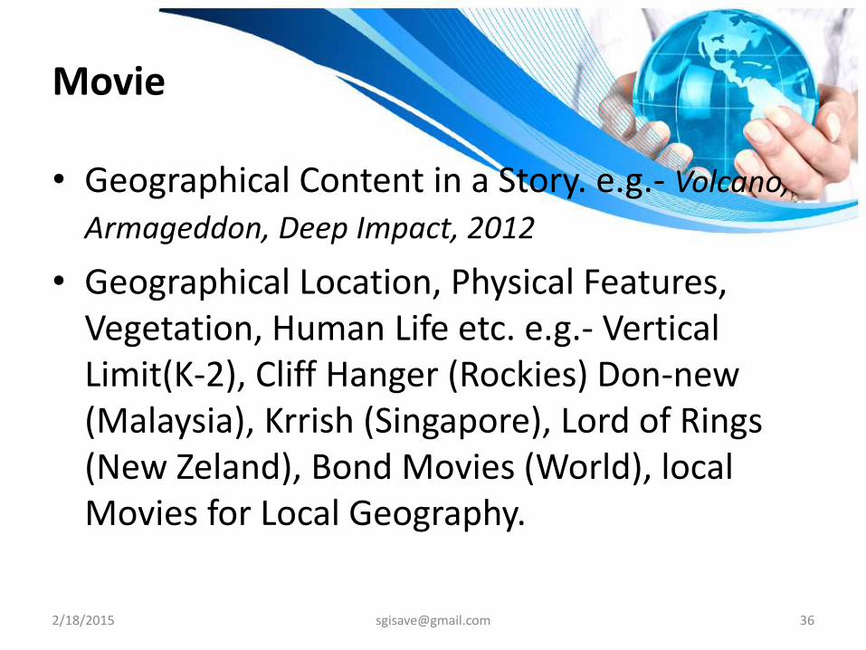
Movie
• Geographical Content in a Story. e.g.- Volcano,
Armageddon, Deep Impact, 2012
• Geographical Location, Physical Features, Vegetation, Human Life etc. e.g.- Vertical Limit(K-2), Cliff Hanger (Rockies) Don-new (Malaysia), Krrish (Singapore), Lord of Rings (New Zeland), Bond Movies (World), local Movies for Local Geography.