Country Club Drive Escondido Creek Harmony Grove Road 5/21/14 YEWA LBVI YBCH BHCO YEWA RSHA YBCH YBCH YEWA YEWA YBCH BHCO BHCO BHCO LBVI YBCH YEWA BHCO Pair LBVI male and female I:\PROJECTS\K\KOV\KOV-01_HarmonyGroveSE\Map\BIO\LBVI\Fig3_LBVI.mxd KOV-01 08/11/14 -KF Figure 3 SE OF HARMONY GROVE Least Bell's Vireo Survey Area and Avian Locations 0 200 Feet N Property Boundary Off-site Study Area Least Bell's Vireo Study Area O C H B Brown-headed Cowbird (Molothrus ater) I V B L Least Bell's Vireo (Vireo bellii pusillus) A H S R Red-shouldered Hawk (Buteo lineatus) H C B Y Yellow-breasted Chat (Icteria virens) A W E Y Yellow Warbler (Dendroica petechia brewsteri) Unpaired LBVI male
Transcript
Coun
try C
lub D
rive
Es co n d i d o C re e k
Harmony Grove Road
5/21/14
YEWA
LBVI
YBCH
BHCOYEWA
RSHAYBCH
YBCH
YEWA
YEWA
YBCH
BHCO
BHCO
BHCO
LBVI
YBCH
YEWA
BHCO Pair
LBVI male and female
I:\PRO
JECT
S\K\K
OV\K
OV-01
_Harm
onyG
roveS
E\Map
\BIO
\LBVI
\Fig3
_LBV
I.mxd
KOV
-01 0
8/11/1
4 -KF
Figure 3SE OF HARMONY GROVE
Least Bell's Vireo Survey Area and Avian Locations
0 200FeetN
Property BoundaryOff-site Study AreaLeast Bell's Vireo Study Area
Lepidoptera Papilionidae Papilio eurymedon pale swallowtail Papilio rutulus western tiger swallowtail
VERTEBRATES
Reptiles
Order Family
Squamata Phrynosomatidae Sceloporus occidentalis western fence lizard
Birds Order Family Accipitriformes Accipitridae Buteo jamaicensis red-tailed hawk Anseriformes Anatidae Anas platyrhynchos mallard Apodiformes Apodidae Aeronautes saxatalis white-throated swift
Trochilidae Calypte anna Anna's Hummingbird Calypte costae Costa’s hummingbird
Vireonidae Vireo bellii pusillis† least Bell’s vireo
Pelecaniformes Ardeidae Ardea alba great egret Piciformes Picidae Picoides nuttallii Nuttall's Woodpecker
Mammals
Order Family
Carnivora Canidae Canis latrans clepticus coyote
Rodentia Sciuridae Spermophilus beecheyi nudipes California ground squirrel
Lagomorpha Leporidae Sylvilagus audubonii cottontail †Sensitive Species
A-4
THIS PAGE INTENTIONALLY LEFT BLANK
Appendix I
BURROWING OWL SURVEY REPORT
HELIX Environmental Planning, Inc. 7578 El Cajon Boulevard Suite 200 La Mesa, CA 91942 619.462.1515 tel 619.462.0552 fax www.helixepi.com
August 11, 2014 KOV-01 Mr. David Kovach RCS Harmony Partners, LLC 2305 Historic Decatur Road, Suite 100 San Diego, California 92106 Subject: Year 2014 Burrowing Owl (Athene cunicularia) Protocol Survey Report for the
Harmony Grove Village South Project, San Diego County, California. Dear Mr. Kovach: This letter presents the results of 2014 protocol-level surveys for the burrowing owl (Athene cunicularia; BUOW) conducted by HELIX Environmental Planning, Inc. (HELIX) for the Harmony Grove Village South Project (project) located in the unincorporated community of Harmony Grove, San Diego County, California. The purpose of this report is to document the presence or absence of BUOW and BUOW sign on and within 500 feet of anticipated impact areas of the project. LOCATION AND SITE DESCRIPTION The survey was conducted on an approximately 111-acre property, herein referred to as the project site or site, located within the unincorporated community of Harmony Grove, just west of Interstate 15, and southeast of Country Club Drive in northern San Diego County, California (Figure 1). The site is situated in Section 31 of Township 12 South, Range 2 West on the Rancho Santa Fe U.S. Geological Survey 7.5-minute quadrangle map (Figure 2). The site is currently being evaluated for development and conservation opportunities. Vegetation communities or land use types identified within the project site and immediate vicinity include: Diegan coastal sage scrub (including disturbed), coastal sage-chaparral scrub, granitic southern mixed chaparral, mafic southern mixed chaparral, mule fat scrub, southern willow riparian forest, coastal live oak woodland, eucalyptus woodland, non-native vegetation, non-native grassland, disturbed habitat, and developed land (Figure 3). Suitable habitat for BUOW on site is restricted to the some of the more open stands of coastal sage scrub, non-native grassland, non-native vegetation, and disturbed habitat.
Letter to Mr. David Kovach Page 2 of 4 August 11, 2014
METHODS HELIX biologists Tara Baxter, Benjamin Rosenbaum, Jesse Miller, and Jenna Hartsook conducted a total of four focused BUOW protocol surveys, in teams of two, within the project site and areas within approximately 500 feet containing suitable habitat and where access was granted. Table 1 below summarizes the survey conditions.
Table 1 BURROWING OWL SURVEY INFORMATION
SURVEY DATE BIOLOGISTS TIME WEATHER CONDITIONS Start Stop
1 04/09/14 T. Baxter B. Rosenbaum 0615/1000 43° F, wind 0-2 mph,
10% cloud cover 77° F, wind 0-2 mph,
25% cloud cover
2 05/14/14 T. Baxter B. Rosenbaum 0715/1000 82° F, wind 1-3 mph,
0% cloud cover 92° F, wind, 5-15
mph, 0% cloud cover
3 06/05/14 J. Miller B. Rosenbaum 0615/0815 41° F, wind 0-3 mph,
100% cloud cover 63° F, wind, 0-3 mph,
0% cloud cover
4 07/03/14 T. Baxter J. Hartsook 0645/1000 61° F, wind 1-3 mph,
100% cloud cover 77° F, wind 1-3 mph,
0% cloud cover The surveys were conducted following guidelines detailed within the 2012 Staff Report on Burrowing Owl Mitigation prepared by the California Department of Fish and Wildlife (CDFW; CDFG 2012). Biologists slowly walked meandering transects in areas of suitable habitat, closely examining any fence posts, rocks, or other possible perching locations as well as mammal burrows (especially those of California ground squirrel [Spermophilus beecheyi]). Burrows potentially suitable for use by BUOW were checked for signs of recent owl occupation which include pellets (e.g., regurgitated fur, bones, and insect parts), white wash (excrement), and feathers. In addition, man-made structures such as concrete culverts/piles, wood debris piles, trash piles, and openings beneath cement or asphalt pavement were checked carefully for owl sign. The survey was conducted in areas with short, sparse vegetation exhibiting low shrub cover, flat to gently sloping topography, and well-drained soils. Habitats surveyed included non-native grassland, disturbed habitat, non-native vegetation, and portions of native scrub communities with sparse shrubs. A 500-ft buffer surrounding the site was included in the area surveyed as it supports potential foraging and nesting habitat for BUOW adjacent to the site. Pursuant to CDFW’s Staff Report on Burrowing Owl Mitigation, surveys are recommended whenever BUOW habitat or sign is encountered on or adjacent (within 150 meters [approximately 500 ft]) to a project site.
Letter to Mr. David Kovach Page 3 of 4 August 11, 2014
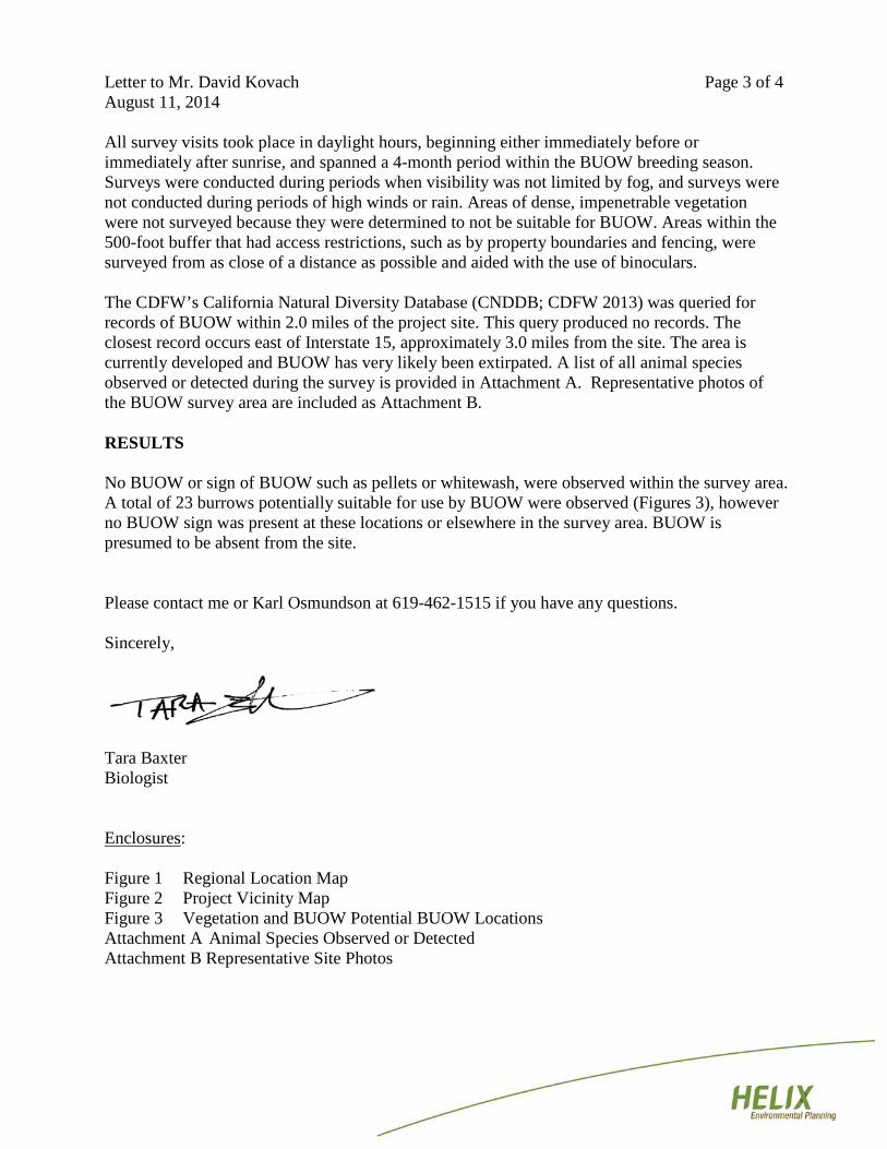
All survey visits took place in daylight hours, beginning either immediately before or immediately after sunrise, and spanned a 4-month period within the BUOW breeding season. Surveys were conducted during periods when visibility was not limited by fog, and surveys were not conducted during periods of high winds or rain. Areas of dense, impenetrable vegetation were not surveyed because they were determined to not be suitable for BUOW. Areas within the 500-foot buffer that had access restrictions, such as by property boundaries and fencing, were surveyed from as close of a distance as possible and aided with the use of binoculars. The CDFW’s California Natural Diversity Database (CNDDB; CDFW 2013) was queried for records of BUOW within 2.0 miles of the project site. This query produced no records. The closest record occurs east of Interstate 15, approximately 3.0 miles from the site. The area is currently developed and BUOW has very likely been extirpated. A list of all animal species observed or detected during the survey is provided in Attachment A. Representative photos of the BUOW survey area are included as Attachment B. RESULTS No BUOW or sign of BUOW such as pellets or whitewash, were observed within the survey area. A total of 23 burrows potentially suitable for use by BUOW were observed (Figures 3), however no BUOW sign was present at these locations or elsewhere in the survey area. BUOW is presumed to be absent from the site. Please contact me or Karl Osmundson at 619-462-1515 if you have any questions. Sincerely,
Tara Baxter Biologist Enclosures: Figure 1 Regional Location Map Figure 2 Project Vicinity Map Figure 3 Vegetation and BUOW Potential BUOW Locations Attachment A Animal Species Observed or Detected Attachment B Representative Site Photos
Letter to Mr. David Kovach Page 4 of 4 August 11, 2014
REFERENCES California Burrowing Owl Consortium (COBC). 1993. Burrowing Owl Survey Protocol and
Mitigation Guidelines. April. California Department of Fish and Game (CDFG). 2012. Staff Report on Burrowing Owl
Mitigation. March 7. California Department of Fish and Wildlife (CDFW) California Natural Diversity Data Base
(CNDDB). 2013. Accessed November 5. RareFind Database Program. http://www.dfg.ca.gov/biogeodata/cnddb.
Squamata Phrynosomatidae Sceloporus occidentalis western fence lizard
Birds Order Family Accipitriformes Accipitridae Buteo jamaicensis red-tailed hawk Anseriformes Anatidae Anas platyrhynchos mallard Apodiformes Apodidae Aeronautes saxatalis white-throated swift
Trochilidae Calypte anna Anna's Hummingbird Columbiformes Columbidae Zenaida macroura mourning dove Falconiformes Accipitridae Buteo jamaicensis red-tailed hawk