Map Amendment (Rezoning) Information and Application WEST GALENA TOWNSHIP BERREMAN TOWNSHIP PLEASANT VALLEY TOWNSHIP DERINDA TOWNSHIP WOODBINE TOWNSHIP STOCKTON TOWNSHIP WARDS GROVE TOWNSHIP NORA TOWNSHIP RUSH TOWNSHIP WARREN TOWNSHIP THOMPSON TOWNSHIP APPLE RIVER TOWNSHIP GUILFORD TOWNSHIP SCALES MOUND TOWNSHIP EAST GALENA TOWNSHIP COUNCIL HILL TOWNSHIP VINEGAR HILL TOWNSHIP MENOMINEE TOWNSHIP DUNLEITH TOWNSHIP RAWLINS TOWNSHIP HANOVER TOWNSHIP RICE TOWNSHIP ELIZABETH TOWNSHIP Revised 05/21/2010 Revised 01/09/2012 Revised 12/19/2013 Revised 08/03/2016 Revised 06/01/2018 Jo Daviess County Planning & Development Department 1 Commercial Drive, Suite 1 Hanover, IL 61041 Telephone (815) 591-3810 -- Fax (815) 591-2728 Eric Tison, Planning & Development Administrator
Jo Daviess County Planning & Development Department 1 Commercial Drive, Suite 1
Hanover, IL 61041 Telephone (815) 591-3810 -- Fax (815) 591-2728
Eric Tison, Planning & Development Administrator
1
Instructions for Map Amendment (Rezoning) Applications
Before You Apply:
• Talk with the Planning & Development Department regarding the feasibility of theproposed use. Is your plan compatible with existing County plans and ordinances?Will your application meet the standards for approval as required under the ZoningOrdinance? What type of requirements and/or restrictions would apply? Are thereother local, state or federal agencies that may have jurisdiction?
• Determine the amount of land you will need to accommodate your plan(s). Don’tunderestimate the amount of land needed. For commercial or industrial uses, youneed to consider land necessary for screening/landscaping/pervious surface, off-streetparking, storm-water management facilities, building setback and yard areas, sewagedisposal area(s), etc. For a dwelling, consider setback and yard area requirements,septic system area(s) and well location (100' separation between well and septicsystem absorption field), the size of house being contemplated, and future plans(deck, sunroom, porch, swimming pool, detached garage/storage building, etc.)
• Investigate the area. Find out if there are existing land uses in the area that may not becompatible with your plans, such as a race track (which may not be in operation whenyou visit the site, but can create considerable noise and traffic on race days), ananimal feeding operation, etc. Even if adjoining land or land in the area is currentlyvacant, find out what the potential uses are. Don’t open yourself up to a surprisedown the road.
• Check with the appropriate highway authority (IDOT, County Engineer or TownshipRoad Commissioner) to determine if safe access to a public highway or road ispossible. Also, ask the appropriate highway authority about any future roadwayimprovement plans. A major road/highway project could create an inconvenience fora period of time, limit access to your site, or require a portion of your site to be soldfor road/highway purposes, even if you do not wish to sell.
• Check the Jo Daviess County Soil Survey to determine the general condition of soilson the site and if the soils are compatible with the intended use(s) of the site. Youmay seek assistance in interpreting the Soil Survey from the Jo Daviess County Soil &Water Conservation District.
• Check the Jo Daviess County, IL Flood Insurance Rate Maps (published by theFederal Emergency Management Agency [FEMA] and maintained at the ZoningDepartment) to determine if the site is located in a FEMA-designated “Special FloodHazard Area”. Flood insurance may be required as a condition of obtaining amortgage if even a portion of the site is located in a “Special Flood Hazard Area”.
2
• If the site is within 1.5 miles of the boundary of an incorporated city or village andthe city/village has an adopted Plan (“master plan” or “comprehensive plan”), it mayexercise its extra-territorial jurisdiction. Therefore, you should check with thecity/village to determine if your plan(s) are compatible with the city/village plan(s),and if any additional requirements may apply. If subdivision approval is necessary,the city/village may also enforce its subdivision regulations within its 1.5 mile extra-territorial planning area.
• Make sure that adequate public services (including, but not necessarily limited to fire,ambulance and police protection, schools, water supply and sewage disposal) areavailable or can be reasonably supplied to serve the proposed use(s).
• Contact the neighbors and let them know your plans. Their feedback can be veryhelpful. They may even know important details about the site that you would nototherwise have known.
The Application Process:
1) DO YOUR HOMEWORK, using the above as a guide.
2) The land area for which the application is being made, unless it is an entire parcel ofrecord, must be defined in a standard, recognizable manner. This is called a “legalland description”. The description can be a “rectangular land description” or a“metes and bounds land description”. An attorney or surveyor can prepare a legaldescription of land. It is not necessary to have an actual physical survey at this time;however, it will be necessary if the application is approved by the County Board. It isimportant that a reasonably accurate legal description be provided and that the legaldescription describes what you want. A “sketch plat” is also helpful, which is simplya graphic representation of a legal description - not a “plat of survey”. When itcomes time for the actual survey, the legal description may change somewhat due tothe accuracy of modern surveying equipment, but any difference(s) should benegligible.
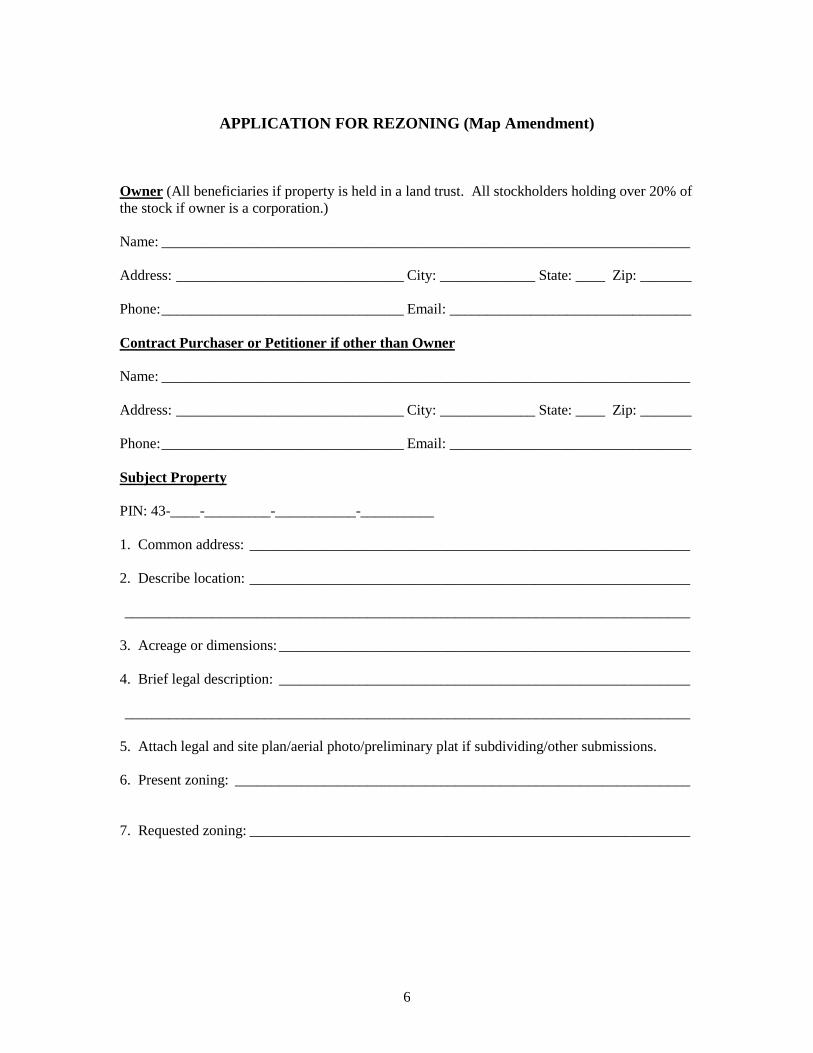
3) Complete the required forms provided in the “Map Amendment Information andApplication” packet. Please either type or print legibly.
Sign the application form and complete the address, city, state, ZIP code and phonenumber information. The application must be signed by the owner(s) of record of theproperty. In the case of property under purchase contract, the owner(s) of recordmust sign and the contract purchaser or petitioner shall also sign the application assuch purchaser is usually the person who will eventually establish the use proposed.Owner and contract purchaser or petitioner must include both address and phonenumber in petition.
Whenever applicable, the following disclosures must be made:
3
• Pursuant to the Land Trust Beneficial Disclosure Act (765 ILCS 405/et seq), ifproperty involved is listed under a “Trust”, a notarized certification, signed by theTrust Officer, giving names, addresses and percentage of interest of allbeneficiaries, is to be filed with all petitions for rezoning and special use.When the applicant is a corporation, the applicant shall include the correct names,addresses and percent interest of all stockholders or shareholders owning interestin excess of 20% of all outstanding stock of such corporation. If the corporationhas no shareholders, a statement to that effect shall be submitted.
• When the applicant is a business entity doing business under an assumed name,the application shall include the names and addresses of all true and actual ownersof such business or entity.
• When the applicant is a partnership, joint venture, syndicate, or an unincorporatedvoluntary association, the application shall include the names and addresses of allpartners, joint ventures, syndicate members, or members of the unincorporatedvoluntary association.
4) Provide a Concept Plan that meets the requirements of the “Concept Plan Checklist”.
A. Complete the “Concept Plan Checklist” cover sheet.
B. Following the example Concept Plan provided in the application packet, prepare a Concept Plan” that meets the size and scale parameters, and contains all of the information requested in the checklist. Concept Plans may be prepared by surveyor/engineer or staff assistance is available upon request in preparing a Concept Plan.
TIPS: A plat of survey is the best base map for a Concept Plan. If a plat of survey is not available, consider having a surveyor prepare a “sketch plat”or contact the Geographical Information Services (GIS) office for a map of your parcel. If preparing a Concept Plan on your home computer using a simplified CAD program, make sure that your output is at a standard scale and not “fit-to-page” output. If you prepare your Concept Plan by hand, print neatly. Consider typing your text on a word processor, printing your text on a separate page, cutting the text out with a technical knife or scissors, and gluing, pasting or taping the text on the Concept Plan (the “cut-and-paste” technique).
Use different line types or widths for property lines, road right-of-way lines or center lines, section lines, etc.
Have the Planning & Development Administrator review and comment on the Concept Plan before making the required number of copies in case any changes/additions are required. Remember who you are preparing the Concept
4
Plan for and tailor it to their needs (which is what the checklist and example Concept Plan are intended to do, if followed). The Concept Plans are sent by the Planning & Development Department to: the members of the Zoning Board of Appeals, County Board liason, the County Health Department, County Highway Department, Geographical Information Services Office, States Attorney’s Office; and, the township planning commission (if any), Community (if within 1 ½ miles), road commissioner or Illinois Department of Transportation.
5) If the application is to rezone land currently zoned AG-1 to another zoning district,complete the application form titled “Application for Natural Resource InventoryReport” on the Jo Daviess County Soil & Water Conservation District (SWCD) letterhead. Take this application directly to the SWCD office (227 N. Main St., ElizabethIL) along with a copy of the submittal requirements. This report must be procuredfrom the SWCD and submitted with the Map Amendment application to thePlanning & Development Department.
The Zoning Process:
The zoning process involves, typically, two meetings which occur in the following order:
1) Zoning Board of Appeals (ZBA).
The ZBA conducts public hearings at which any citizen is afforded the opportunity to speak in favor of, in opposition to, or simply comment on an application. For more information on the ZBA, please read “Product/Service information, subdividing and/or Rezoning”. The ZBA makes findings of facts and a recommendation to the County Board. Its decision is advisory only and does not constitute a final, binding decision.
2) County Board (final decision).
The County Board’s decision is final. Typically, no opportunity for public comment is given prior to a decision. However, it is up to the Chairman’s discretion.
Upon receipt of an application, the Planning & Development Department begins processing of said application and preparing the file. Letters of notification are prepared and sent to all adjoining property owners (certified mail), township officials, county agencies (health, highway and sheriff), county board members, school district(s), fire district(s), and any city or village within 1.5 miles. A public notice is prepared and published in a local newspaper at least fifteen (15) days prior to the public hearing with the Zoning Board of Appeals. A Staff Report is completed prior to the meeting of the ZBA. From the time of filing to a decision of the County Board usually takes about two months. However, in some cases the ZBA may continue the hearing to another date, or the County Board may refer the case back to the ZBA for further hearing, which would prolong a decision.
5
Note: It is solely the responsibility of the applicants to make sure that all information submitted, including the legal and general description of the property, is accurate as the information will be used for publication of the legal notice required by statute and ordinance. The County of Jo Daviess disclaims all responsibility if any of the information submitted by the applicants is inaccurate or in error. The required filing fee must accompany the request. Regardless of the final action, all fees are non-refundable.
Note: It is the sole responsibility of the applicant to provide a complete submittal package at time of submission. (If petitioner submits additional information either by their own accord or by the direction of the Planning & Development Administrator or Zoning Board of Appeals, then the additional information must be submitted no later than five (5) business days prior to the Zoning Board meeting to which they will be appearing.)
6
APPLICATION FOR REZONING (Map Amendment)
Owner (All beneficiaries if property is held in a land trust. All stockholders holding over 20% of the stock if owner is a corporation.)
Signed and sworn to before me this____________day of______________.
____________________________________ Notary Public
*Submit evidence of Title (Deed or Title Insurance Policy).(1 Copy)*Submit Photos/ Site Plan if appropriate. (16 Copies)
8
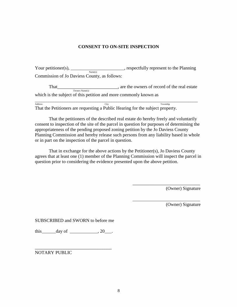
CONSENT TO ON-SITE INSPECTION
Your petitioner(s), _______________________, respectfully represent to the Planning Name(s)
Commission of Jo Daviess County, as follows:
That__________________________, are the owners of record of the real estate Owners Name(s)
which is the subject of this petition and more commonly known as ______________________________________________________________________ Address City Township
That the Petitioners are requesting a Public Hearing for the subject property.
That the petitioners of the described real estate do hereby freely and voluntarily consent to inspection of the site of the parcel in question for purposes of determining the appropriateness of the pending proposed zoning petition by the Jo Daviess County Planning Commission and hereby release such persons from any liability based in whole or in part on the inspection of the parcel in question.
That in exchange for the above actions by the Petitioner(s), Jo Daviess County agrees that at least one (1) member of the Planning Commission will inspect the parcel in question prior to considering the evidence presented upon the above petition.
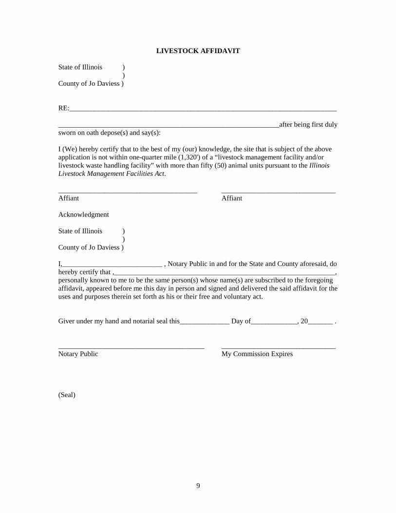
______________________________________________________________after being first duly sworn on oath depose(s) and say(s):
I (We) hereby certify that to the best of my (our) knowledge, the site that is subject of the above application is not within one-quarter mile (1,320') of a “livestock management facility and/or livestock waste handling facility” with more than fifty (50) animal units pursuant to the Illinois Livestock Management Facilities Act.
I,____________________________ , Notary Public in and for the State and County aforesaid, do hereby certify that ,______________________________________________________________, personally known to me to be the same person(s) whose name(s) are subscribed to the foregoing affidavit, appeared before me this day in person and signed and delivered the said affidavit for the uses and purposes therein set forth as his or their free and voluntary act.
Giver under my hand and notarial seal this______________ Day of_____________, 20_______ .
_________________________________________ ________________________________ Notary Public My Commission Expires
(Seal)
10
Jo Daviess County Planning & Development Eric Tison, Planning & Development Administrator
1 Commercial Drive Suite 1 Hanover, IL 61041 Telephone: (815) 591-3507 or (815) 591-3810 Fax: (815) 591-2728 Email: [email protected] Website: www.jodaviess.org
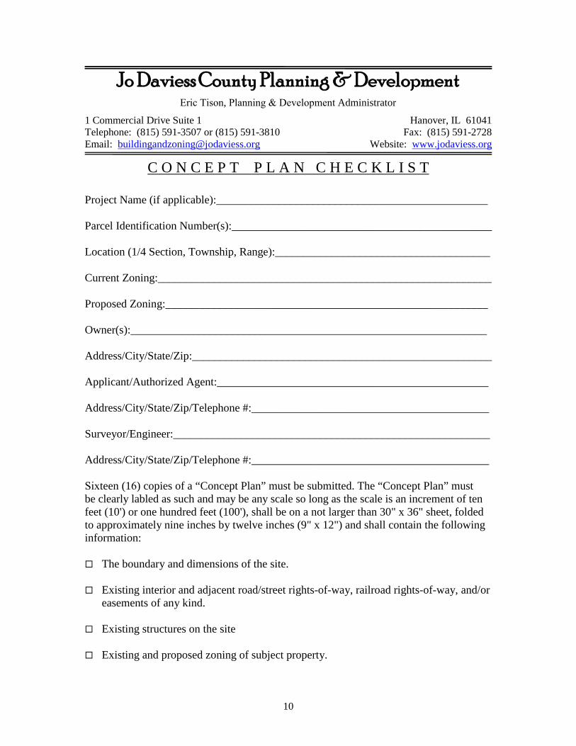
C O N C E P T P L A N C H E C K L I S T
Project Name (if applicable):________________________________________________
Sixteen (16) copies of a “Concept Plan” must be submitted. The “Concept Plan” must be clearly labled as such and may be any scale so long as the scale is an increment of ten feet (10') or one hundred feet (100'), shall be on a not larger than 30" x 36" sheet, folded to approximately nine inches by twelve inches (9" x 12") and shall contain the following information:
The boundary and dimensions of the site.
Existing interior and adjacent road/street rights-of-way, railroad rights-of-way, and/or easements of any kind.
Existing structures on the site
Existing and proposed zoning of subject property.
11
A note describing the proposed use of the site.
Existing land use(s).
Areas shown on the Jo Daviess County, Illinois Flood Insurance Rate Maps as being in “Zone A” or “Zone AE”.
Low areas subject to occasional over-flow flooding, sheet flooding or ponding.
Wetlands (refer to the U.S.D.A. Preliminary Wetlands Inventory available from the Jo Daviess County Field Office of the U.S. D. A., Natural Resources Conservation Service).
General surface water drainage patterns, drainage divides, and high and low elevation sites.
Names of adjacent subdivisions and owners of adjacent property.
Zoning on adjacent property.
A notation indicating whether or not the site is located within 1.5 miles of an incorporated city or village.
Any political boundaries on or adjacent to the subject site (i.e. corporate, township, school district, etc. boundaries) and a list of all known taxing districts the parcel falls under.
Parks, preserves and/or public open spaces within 200 feet of the site.
Any proposed dedications/reservations for open space, natural area, historic building(s)/structure(s), and storm-water management facilities.
Proposed sketch layout of roads/streets (with right-of-way widths).
Proposal for water source and sewage disposal.
The “Concept Plan” shall be accompanied by the following supporting documents/information:
Evidence of ownership, or proof of legal interest in, the subject property.
Natural Resource Inventory Report from the Jo Daviess County Soil & Water Conservation District, if applicable. (14 copies)
A completed “Concept Plan Checklist”.
12
A completed map amendment or special use permit application. (16 copies)
Legal Description – complete legal description applying only to the parcel being zoned.
Application Fee
Any other information requested by the Planning & Development Officer.
I,_________________________________________ , certify that all information presented herewith is complete and accurate.
Signature of Applicant______________________________________ Date___________
Notice to Applicants:
The intent of the “Concept Plan” is to provide information to help both the applicant and the Jo Daviess County review agencies/decision makers evaluate the feasibility of a proposed land use change according to development plans, policies, existing and projected development activities, and zoning and/or subdivision regulations.
The “Concept Plan” should encourage the discussion of basic problems and questions related to the proposed land use change prior to approval and expenditure of funds for detailed development plans by the applicant.
The information required of a “Concept Plan” is such that applicants may prepare a “Concept Plan” at little or no cost. If technical assistance is needed by an applicant in preparing a “Concept Plan”, an applicant may also choose to have a “Concept Plan” prepared by a surveyor, engineer, land planner or architect.
13
(Purposely left blank)
14
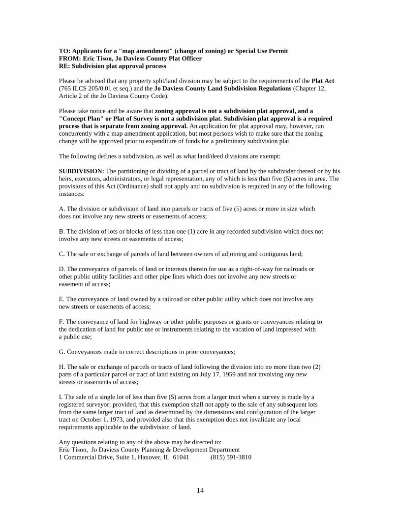
TO: Applicants for a "map amendment" (change of zoning) or Special Use Permit FROM: Eric Tison, Jo Daviess County Plat Officer RE: Subdivision plat approval process
Please be advised that any property split/land division may be subject to the requirements of the Plat Act (765 ILCS 205/0.01 et seq.) and the Jo Daviess County Land Subdivision Regulations (Chapter 12, Article 2 of the Jo Daviess County Code).
Please take notice and be aware that zoning approval is not a subdivision plat approval, and a "Concept Plan" or Plat of Survey is not a subdivision plat. Subdivision plat approval is a required process that is separate from zoning approval. An application for plat approval may, however, run concurrently with a map amendment application, but most persons wish to make sure that the zoning change will be approved prior to expenditure of funds for a preliminary subdivision plat.
The following defines a subdivision, as well as what land/deed divisions are exempt:
SUBDIVISION: The partitioning or dividing of a parcel or tract of land by the subdivider thereof or by his heirs, executors, administrators, or legal representation, any of which is less than five (5) acres in area. The provisions of this Act (Ordinance) shall not apply and no subdivision is required in any of the following instances:
A. The division or subdivision of land into parcels or tracts of five (5) acres or more in size which does not involve any new streets or easements of access;
B. The division of lots or blocks of less than one (1) acre in any recorded subdivision which does not involve any new streets or easements of access;
C. The sale or exchange of parcels of land between owners of adjoining and contiguous land;
D. The conveyance of parcels of land or interests therein for use as a right-of-way for railroads or other public utility facilities and other pipe lines which does not involve any new streets or easement of access;
E. The conveyance of land owned by a railroad or other public utility which does not involve any new streets or easements of access;
F. The conveyance of land for highway or other public purposes or grants or conveyances relating to the dedication of land for public use or instruments relating to the vacation of land impressed with a public use;
G. Conveyances made to correct descriptions in prior conveyances;
H. The sale or exchange of parcels or tracts of land following the division into no more than two (2) parts of a particular parcel or tract of land existing on July 17, 1959 and not involving any new streets or easements of access;
I. The sale of a single lot of less than five (5) acres from a larger tract when a survey is made by a registered surveyor; provided, that this exemption shall not apply to the sale of any subsequent lots from the same larger tract of land as determined by the dimensions and configuration of the larger tract on October 1, 1973, and provided also that this exemption does not invalidate any local requirements applicable to the subdivision of land.
Any questions relating to any of the above may be directed to: Eric Tison, Jo Daviess County Planning & Development Department 1 Commercial Drive, Suite 1, Hanover, IL 61041 (815) 591-3810
15
Article 2e: Amendment of Regulations and Districts
8-2e-1 Types of Amendments
For purposes of this Section, the term "text amendment" means an amendment to the text of a zoning ordinance, which affects the whole county, and the term "map amendment" means an amendment to the map of a zoning ordinance, which affects an individual parcel or parcels of land.
8-2e-2 Authority to Amend/Who May File
A. The regulations imposed and the districts created under the authority of this Ordinance may be amended from time to time by ordinance or resolution, after the ordinance or resolution establishing same has gone into effect. Amendments may be proposed by the County Board, Zoning Board, any property owner, or a person or organization with a property interest in the subject property.
B. An application for an amendment shall be filed with the Zoning Administrator, who after ascertaining it contains the information required by this Ordinance shall forward the application to the Zoning Board.
8-2e-3 Hearing Requirement
No such amendments shall be made without a hearing before the Zoning Board. At least fifteen (15) days notice of the time and place of such hearing shall be published in a newspaper of general circulation published in such county.
8-2e-4 Place of Hearings
A. Hearings on text amendments shall be held in the court house of the county or other county building with more adequate facilities for such hearings.
B. Hearings on map amendments shall be held in the township or road district affected by the terms of such proposed amendment or in the court house, or other county building with more adequate facilities for such hearings, of the county in which the affected township or road district is located. Provided, that if the owner of any property affected by such proposed map amendment so requests in writing, such hearing shall be held in the township or road district affected by the terms of such proposed amendment.
8-2e-5 Zoning Board Procedures
The Zoning Board upon receipt of the application from the Zoning Administrator shall
A. conduct a hearing as required by this Ordinance within a reasonable period of time, and
B. consider the following factors:
1. existing uses and zoning of nearby property;
16
2. extent to which property values are diminished by particular zoningrestrictions;
3. extent to which destruction of value of plaintiffs' property promotes thehealth, safety, morals, or general welfare of the public;
4. relative gain to public compared to hardship imposed upon individualproperty owner;
5. suitability of subject property for zoned purposes, including but notlimited to LESA score;
6. length of time the property has been vacant as zoned, considered incontext of land development in vicinity;
7. community need for the proposed use; and
8. care with which community has undertaken to plan its land usedevelopment
Although no one factor is determinative as to validity of the appropriateness of an amendment, the primary concern is whether property in question is proposed to be zoned in conformity with surrounding uses and whether those uses are uniform and established.
C. make a recommendation to the County Board based upon its consideration of the factors listed in this section which may include terms and conditions of approval.
8-2e-6 County Board Voting Requirements to Amend
A. Text Amendments: Text amendments may be passed at a County Board meeting by a simple majority of the elected County Board members, except that in the following circumstances, a vote of three-fourths (¾) of all of the members of the County Board shall be required:
1. written protests against the proposed text amendment are signed byfive percent (5%) of the land owners of the county
2. the corporate authorities of the zoned municipality with limits nearestadjacent, file a duly adopted resolution objecting to the amendmentwith the County. In such cases, a copy of the written protest shall beserved by the protestor or protestors on the applicant for the proposedamendment and a copy upon the applicant's attorney, if any, bycertified mail at the address of such applicant and attorney shown inthe application for the proposed amendment, or
3. as to text amendments that affect an unincorporated area of atownship located within Jo Daviess County that has a plancommission and the plan commission objects to a text amendment,and the township Board of Trustees submits its written objections tothe County Board within thirty (30) days after the hearing before theBoard of Appeals.
17
B. Map Amendments: Map amendments may be passed at a County Board meeting by a simple majority of the elected County Board members, except that in the following circumstances, a vote of three-fourths (¾) of all of the members of the County Board shall be required:
1. In case of written protest against any proposed map amendment thatis either:
a. signed by the owner or owners of at least twenty percent(20%) of the land to be rezoned, or
b. signed by the owner or owners of land immediately touching,or immediately across a street, alley, or public right-of-wayfrom, at least twenty percent (20%) of the perimeter of theland to be rezoned, or
c. in cases where the land affected lies within one and one-half(1 ½) miles of the limits of a zoned municipality, and thatmunicipality has duly adopted a resolution objecting to theamendment and filed the objection with the County Clerk
2. In such cases, a copy of the written protest shall be served by theprotestor or protestors on the applicant for the proposed amendmentand a copy upon the applicant's attorney, if any, by certified mail atthe address of such applicant and attorney shown in the applicationfor the proposed amendment.
C. Votes Required with Township Protests: If a township located within Jo Daviess County, has a plan commission and the plan commission objects to a text amendment or a map amendment affecting an unincorporated area of the township, then the township Board of Trustees may submit its written objections to the County Board within thirty (30) days after the hearing before the Board of Appeals, in which case the County Board may not adopt the text amendment or the map amendment affecting an unincorporated area of the township except by the favorable vote of at least three-fourths (¾) of all the members of the County Board.
D. Notwithstanding any other provision of this Section, if a map amendment is proposed solely to correct an error made by the County as a result of a comprehensive rezoning by the county, the map amendments may be passed at a County Board meeting by a simple majority of the elected board.
18
Jo Daviess County Planning & Development Eric Tison,Planning & Development Administrator
1 Commercial Drive Suite 1 Hanover, IL 61041 Telephone: (815) 591-3507 or (815) 591-3810 Fax: (815) 591-2728 Email: [email protected] Website: www.jodaviess.org
Fee Schedule
ZONING
Zoning Amendments:
Rezoning from General Agricultural District to R-1 Rural Residential District, R-2 Single-Family Residential District or Planned Residential District. ----------------------------------------------------------------------- $400.00 plus $25.00 per acre for request of 5 acres or more in area.
Rezoning from General Agricultural District, R-1 Rural Residential District, R-2 Single-Family Residential District, or RP District to Commercial, Manufacturing, or Industrial. ----------------------------------------------------------------------- $800.00 plus $50.00 per acre for request of 5 acres or more in area up to forty (40) acres.
Rezoning from General Agricultural District, R-1 Rural Residential District, R-2 Single- Family Residential District, RP District, Commercial District, Manufacturing District or Industrial District to a PD District. ----------------------------------------------------------------$800.00 plus $50.00 per acre for a request of 5 acres or more in area
LESA When done outside of a rezoning request -------------------------------------------------- $50.00
ACTION TO CORRECT A VIOLATIONWhen any action is taken to correct a violation of any kind the fee will be increased by 50%.
The Jo Daviess County Planning & Development Fee schedule can be viewed in its entirety by visiting our website www.jodaviess.org or a copy may be requested.