Mapping food security and development: From Yemen Atlas to Yemen Spatial Perrihan Al-Riffai International Food Policy Research Institute IFPRI-IFAD Workshop on “Decreasing Vulnerability to Conflict in MENA through Rural Development”; Sanaa, Yemen; 9 April 2013
Transcript
Mapping food security and development: From Yemen Atlas to Yemen Spatial
Perrihan Al-Riffai
International Food Policy Research Institute
IFPRI-IFAD Workshop on “Decreasing Vulnerability to Conflict in MENA through Rural Development”; Sanaa, Yemen; 9 April 2013
Yemen Food Security Atlas 2010
• desktop application developed in the context of the National Food Security Strategy (NFSS)
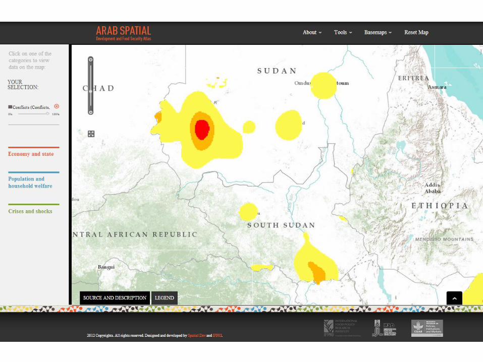
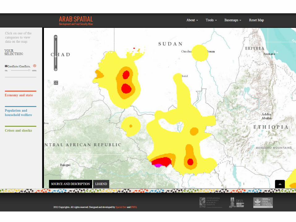
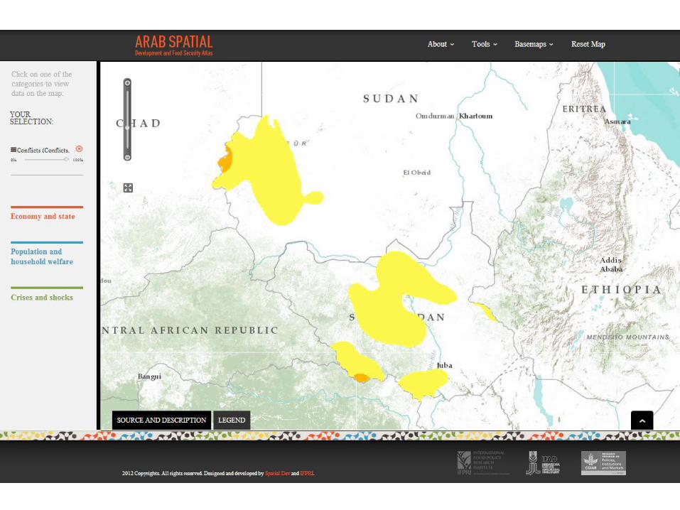
Arab Spatial
• online application developed with IFAD at regional level
Next steps: towards Yemen Spatial, to be developed
Outline
3
The Yemen Digital Food Security Atlas (DFSA) • A source of information for policy makers and the public (on a CD)
• Contains about 200 maps on food security, trade, health, agriculture etc.
• A tool to conduct simple food security analysis
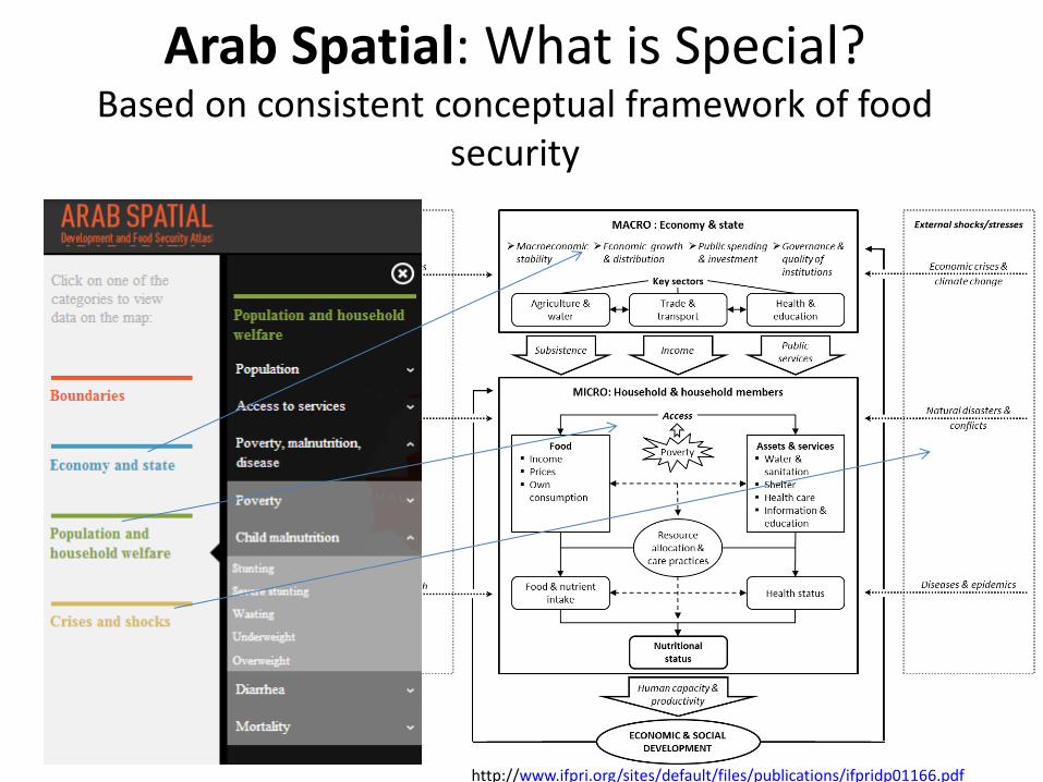
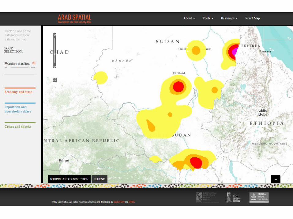
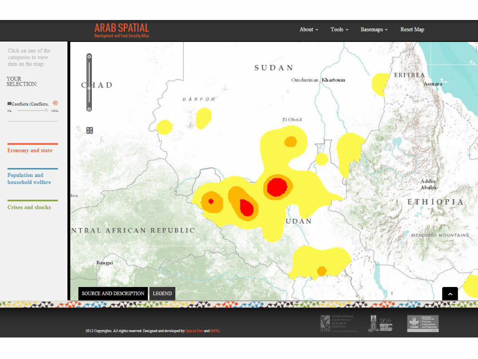
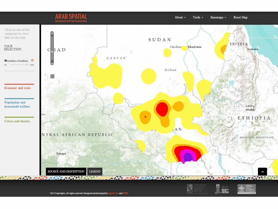
Arab Spatial: An online database and web-mapping tool with more than 150 food security and development-related indicators
Arab Spatial Development and Food Security Atlas
Arab Spatial: What is Special? Based on consistent conceptual framework of food