51
MapServer and OGC Web Services June 9-11, 2004 • Carleton University • Ottawa • Canada Tom Kralidis Environment Canada Yewondwossen Assefa DM Solutions Group
| Date post: | 19-Dec-2015 |
| Category: |
Documents |
| View: | 214 times |
| Download: | 0 times |
MapServer andOGC Web Services
June 9-11, 2004 • Carleton University • Ottawa • Canada
Tom KralidisEnvironment Canada
Yewondwossen AssefaDM Solutions Group
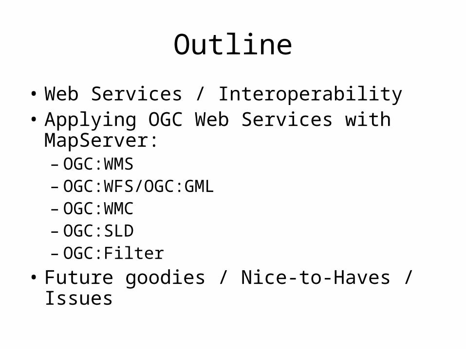
Outline
• Web Services / Interoperability• Applying OGC Web Services with
MapServer:– OGC:WMS– OGC:WFS/OGC:GML– OGC:WMC– OGC:SLD– OGC:Filter
• Future goodies / Nice-to-Haves / Issues
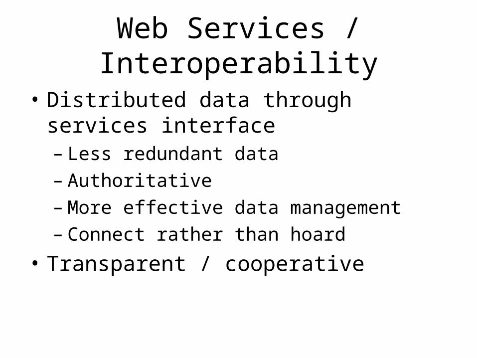
Web Services / Interoperability
• Distributed data through services interface– Less redundant data– Authoritative– More effective data management– Connect rather than hoard
• Transparent / cooperative
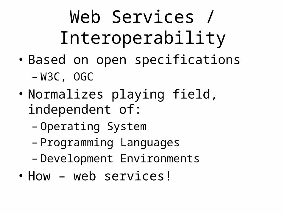
Web Services / Interoperability
• Based on open specifications– W3C, OGC
• Normalizes playing field, independent of:– Operating System– Programming Languages– Development Environments
• How – web services!

Web Services Defined
• Web Service = any software which makes itself available over the Internet and uses a standard XML messaging system
• XML makes this happen
• Provides more control to application developer (raw vs. refined goods concept)
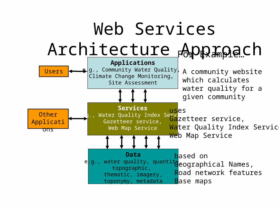
Web Services Architecture Approach
Applicationse.g., Community Water Quality,
Climate Change Monitoring, Site Assessment
Servicese.g., Water Quality Index Service
Gazetteer service,Web Map Service
Datae.g., water quality, quantity,
topographic, thematic, imagery,
toponymy, metadata
Users
OtherApplications
For Example…
A community website which calculates water quality for a given community
usesGazetteer service,Water Quality Index ServiceWeb Map Service
based onGeographical Names,Road network featuresBase maps
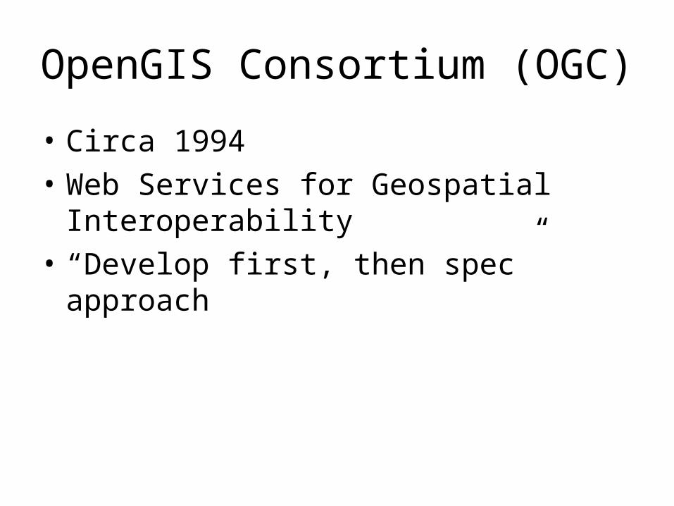
OpenGIS Consortium (OGC)
• Circa 1994
• Web Services for Geospatial Interoperability
• “Develop first, then spec” approach
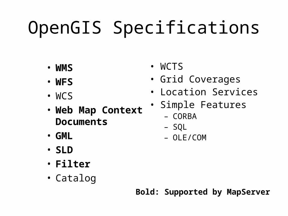
OpenGIS Specifications
• WMS• WFS• WCS• Web Map Context
Documents• GML• SLD• Filter• Catalog
• WCTS• Grid Coverages• Location Services• Simple Features
– CORBA– SQL– OLE/COM
Bold: Supported by MapServer
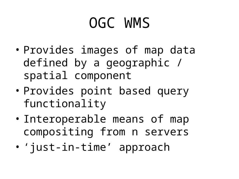
OGC WMS
• Provides images of map data defined by a geographic / spatial component
• Provides point based query functionality
• Interoperable means of map compositing from n servers
• ‘just-in-time’ approach
OGC WMS
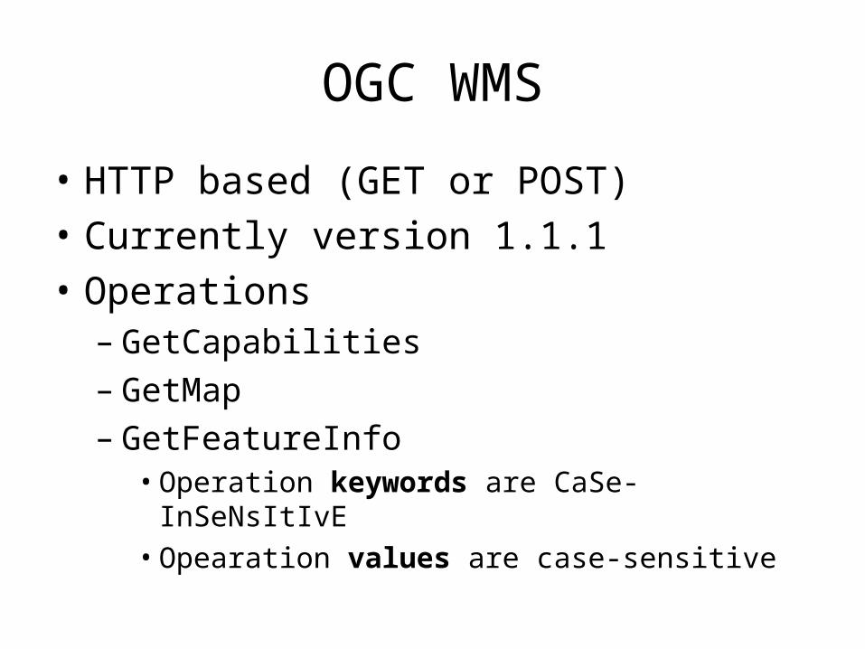
• HTTP based (GET or POST)
• Currently version 1.1.1
• Operations– GetCapabilities– GetMap– GetFeatureInfo
• Operation keywords are CaSe-InSeNsItIvE• Opearation values are case-sensitive
OGC WMS
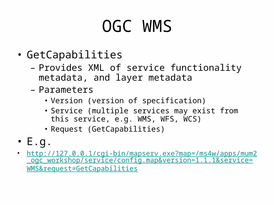
• GetCapabilities– Provides XML of service functionality metadata, and
layer metadata– Parameters
• Version (version of specification)• Service (multiple services may exist from this service, e.g.
WMS, WFS, WCS)• Request (GetCapabilities)
• E.g.• http://127.0.0.1/cgi-bin/mapserv.exe?map=/ms4w/apps/mum2_ogc_worksh
op/service/config.map&version=1.1.1&service=WMS&request=GetCapabilities
OGC WMS
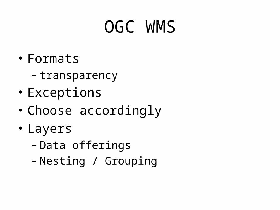
• Formats– transparency
• Exceptions
• Choose accordingly
• Layers– Data offerings– Nesting / Grouping
OGC:WMS
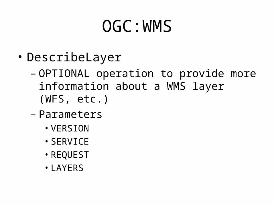
• DescribeLayer– OPTIONAL operation to provide more
information about a WMS layer (WFS, etc.)– Parameters
• VERSION• SERVICE• REQUEST• LAYERS
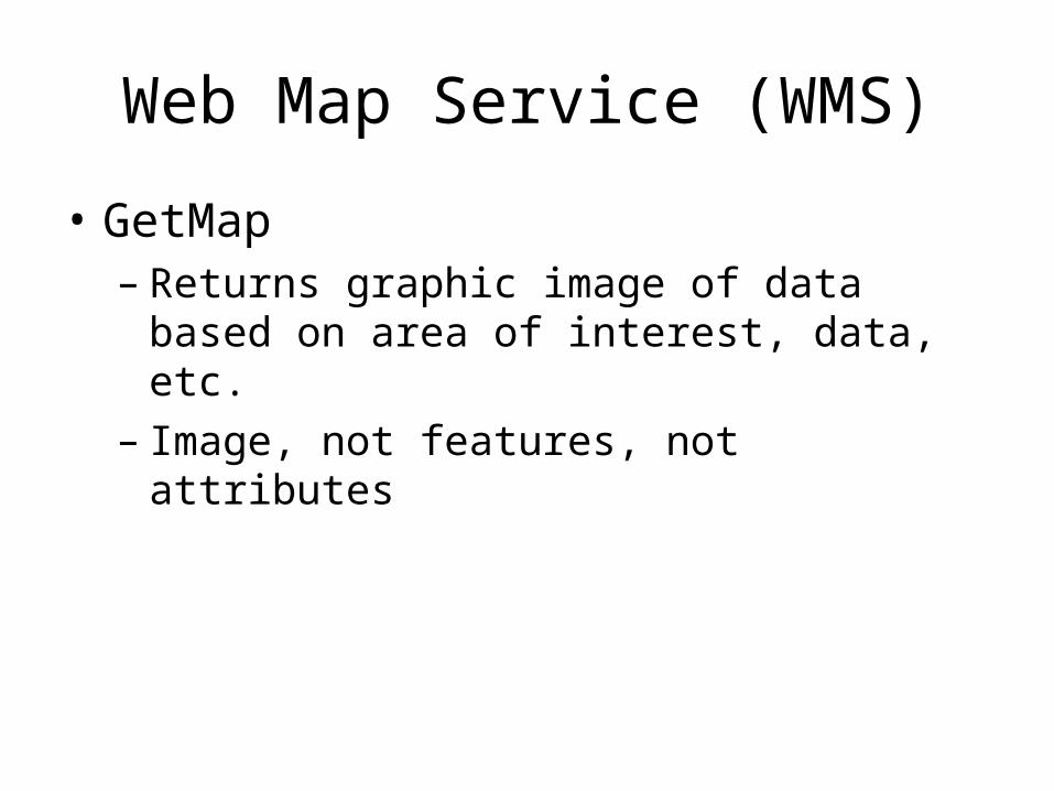
Web Map Service (WMS)
• GetMap– Returns graphic image of data based on area
of interest, data, etc.– Image, not features, not attributes
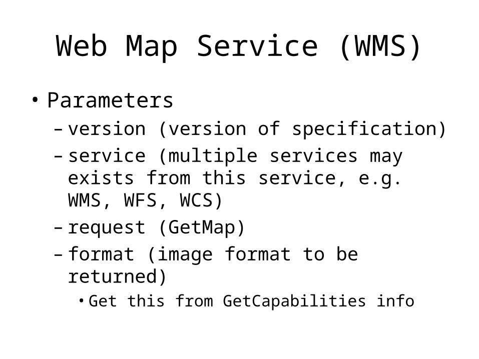
Web Map Service (WMS)
• Parameters– version (version of specification)– service (multiple services may exists from this
service, e.g. WMS, WFS, WCS)– request (GetMap)– format (image format to be returned)
• Get this from GetCapabilities info
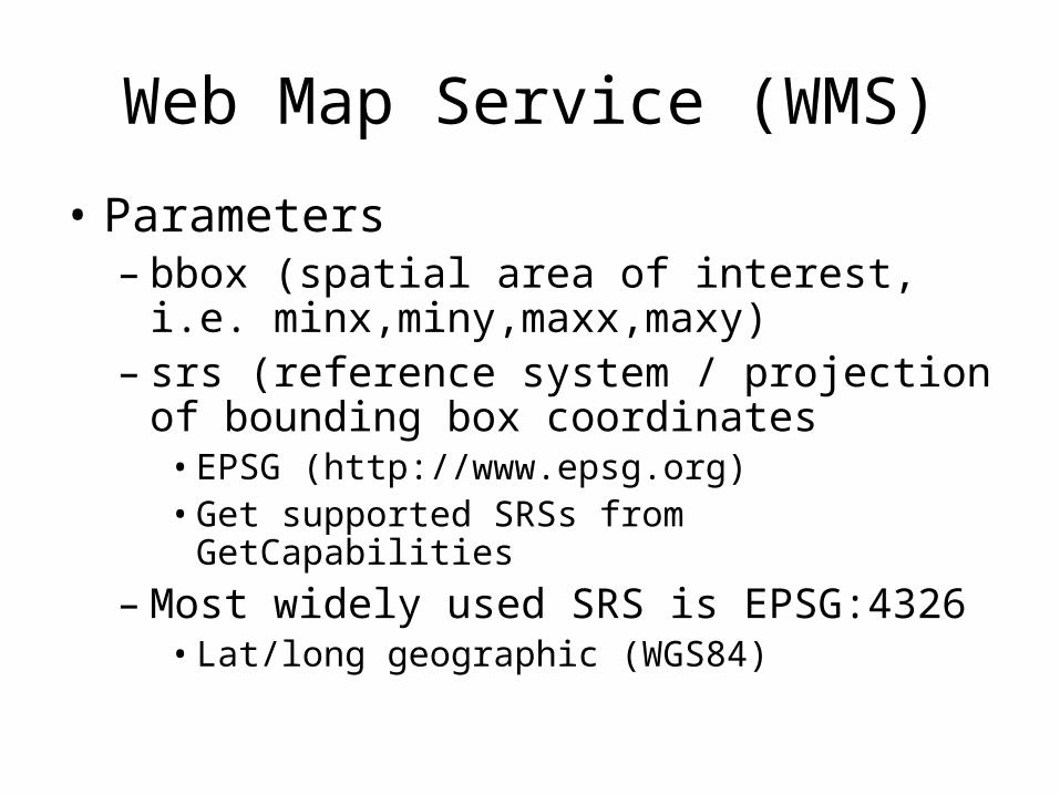
Web Map Service (WMS)
• Parameters– bbox (spatial area of interest, i.e.
minx,miny,maxx,maxy)– srs (reference system / projection of bounding
box coordinates• EPSG (http://www.epsg.org)• Get supported SRSs from GetCapabilities
– Most widely used SRS is EPSG:4326• Lat/long geographic (WGS84)
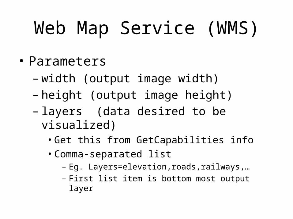
Web Map Service (WMS)
• Parameters– width (output image width)– height (output image height)– layers (data desired to be visualized)
• Get this from GetCapabilities info• Comma-separated list
– Eg. Layers=elevation,roads,railways,…– First list item is bottom most output layer
Web Map Service (WMS)
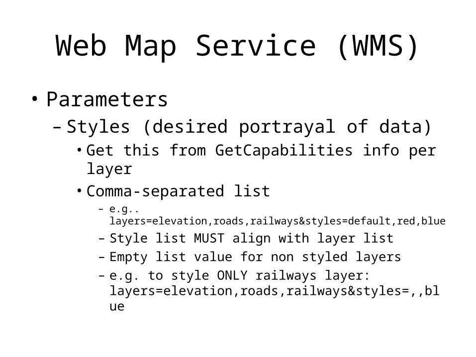
• Parameters– Styles (desired portrayal of data)
• Get this from GetCapabilities info per layer• Comma-separated list
– e.g.. layers=elevation,roads,railways&styles=default,red,blue
– Style list MUST align with layer list– Empty list value for non styled layers– e.g. to style ONLY railways layer:
layers=elevation,roads,railways&styles=,,blue
Web Map Service (WMS)
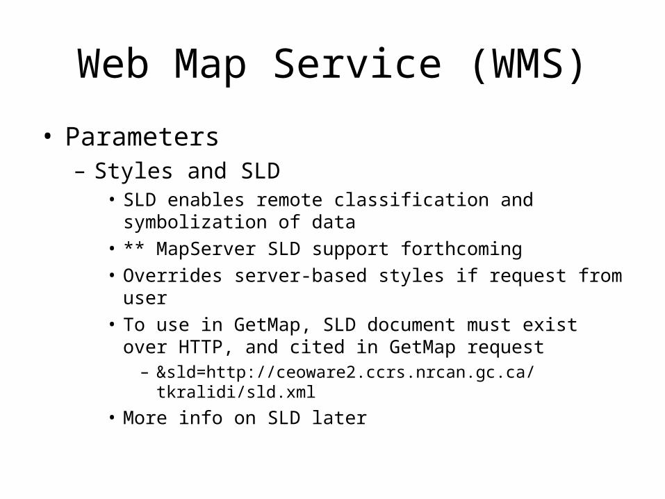
• Parameters– Styles and SLD
• SLD enables remote classification and symbolization of data• ** MapServer SLD support forthcoming• Overrides server-based styles if request from user• To use in GetMap, SLD document must exist over HTTP,
and cited in GetMap request– &sld=http://ceoware2.ccrs.nrcan.gc.ca/tkralidi/sld.xml
• More info on SLD later
Web Map Service (WMS)
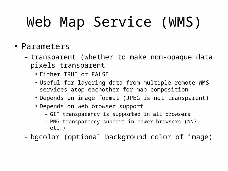
• Parameters– transparent (whether to make non-opaque data pixels
transparent• Either TRUE or FALSE• Useful for layering data from multiple remote WMS services
atop eachother for map composition• Depends on image format (JPEG is not transparent)• Depends on web browser support
– GIF transparency is supported in all browsers
– PNG transparency support in newer browsers (NN7, etc.)
– bgcolor (optional background color of image)
Web Map Service (WMS)
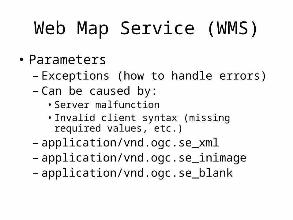
• Parameters– Exceptions (how to handle errors)– Can be caused by:
• Server malfunction• Invalid client syntax (missing required values, etc.)
– application/vnd.ogc.se_xml– application/vnd.ogc.se_inimage– application/vnd.ogc.se_blank

Web Map Service (WMS)
• Parameters– Exceptions
• Which one should I use?• application/vnd.ogc.se_inimage
– Useful for easily visualizing errors in your app– Can also be ugly to the end-user / audience
• application/vnd.ogc.se_blank– Returns a blank image– Difficult to recognize what type or error has occurred
• application/vnd.ogc.se_xml– Returns an XML exception document– Difficult to decode if your app is requesting an image type
– Choose accordingly
Web Map Service (WMS)
• GetFeatureInfo– Performs point-based queries on map data– No ability for complex, expression-like queries
• This is covered the WFS specification
Web Map Service (WMS)
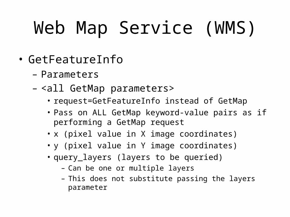
• GetFeatureInfo– Parameters– <all GetMap parameters>
• request=GetFeatureInfo instead of GetMap• Pass on ALL GetMap keyword-value pairs as if performing a
GetMap request• x (pixel value in X image coordinates)• y (pixel value in Y image coordinates)• query_layers (layers to be queried)
– Can be one or multiple layers
– This does not substitute passing the layers parameter
Web Map Service (WMS)
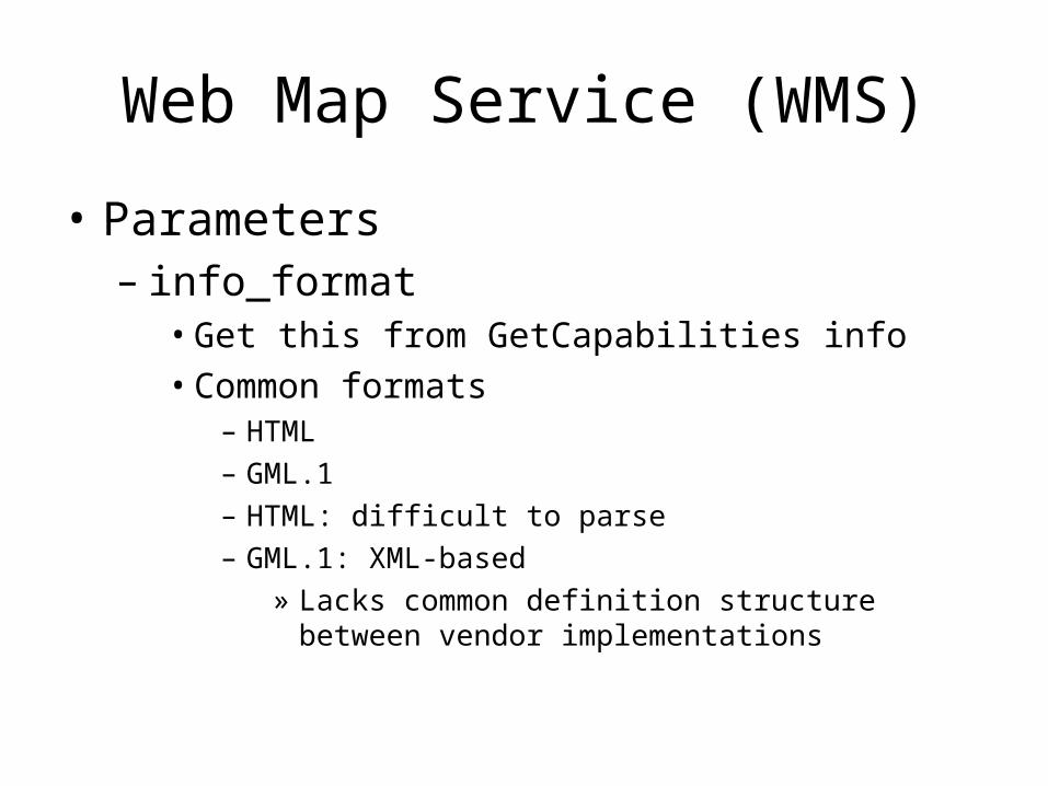
• Parameters– info_format
• Get this from GetCapabilities info• Common formats
– HTML– GML.1– HTML: difficult to parse– GML.1: XML-based
» Lacks common definition structure between vendor implementations

OGC:WMS
• Enabling in MapServer– Through metadata elements in mapfile
• “wms_*” type metadata– These drive interface content
• see wms-server howto
OGC:WMS
• The Server URL thing• MapServer needs CGI map keyword (i.e.
MS_MAPFILE environment variable) to drive interface
• This can be tacked on to server URL as the base WMS server URL prefix
• If you want, you can hide mapfile via HTTPD settings
• See:– http://127.0.0.1/mum2_ogc_workshop/service/hide-
mapfile-location.php
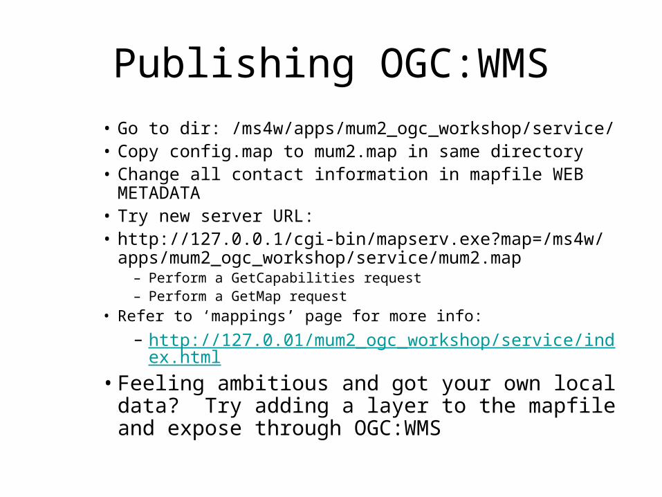
Publishing OGC:WMS
• Go to dir: /ms4w/apps/mum2_ogc_workshop/service/• Copy config.map to mum2.map in same directory• Change all contact information in mapfile WEB METADATA• Try new server URL:• http://127.0.0.1/cgi-bin/mapserv.exe?map=/ms4w/apps/
mum2_ogc_workshop/service/mum2.map– Perform a GetCapabilities request– Perform a GetMap request
• Refer to ‘mappings’ page for more info:
– http://127.0.01/mum2_ogc_workshop/service/index.html
• Feeling ambitious and got your own local data? Try adding a layer to the mapfile and expose through OGC:WMS
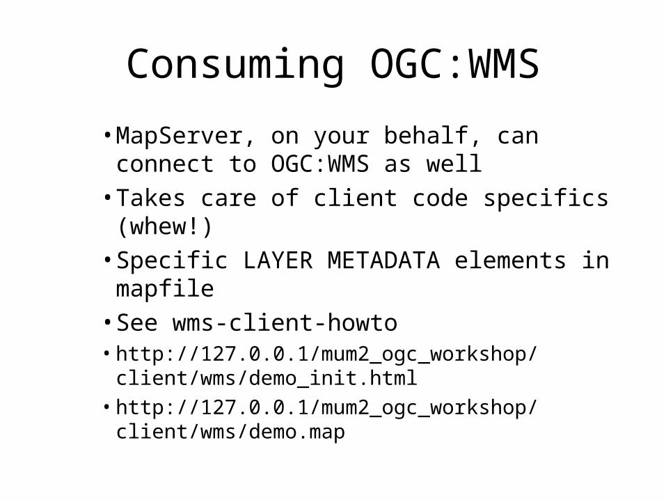
Consuming OGC:WMS
• MapServer, on your behalf, can connect to OGC:WMS as well
• Takes care of client code specifics (whew!)• Specific LAYER METADATA elements in
mapfile• See wms-client-howto• http://127.0.0.1/mum2_ogc_workshop/client/wms/
demo_init.html• http://127.0.0.1/mum2_ogc_workshop/client/wms/
demo.map
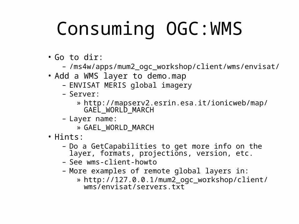
Consuming OGC:WMS• Go to dir:
– /ms4w/apps/mum2_ogc_workshop/client/wms/envisat/• Add a WMS layer to demo.map
– ENVISAT MERIS global imagery– Server:
» http://mapserv2.esrin.esa.it/ionicweb/map/GAEL_WORLD_MARCH
– Layer name:» GAEL_WORLD_MARCH
• Hints:– Do a GetCapabilities to get more info on the layer, formats,
projections, version, etc.– See wms-client-howto– More examples of remote global layers in:
» http://127.0.0.1/mum2_ogc_workshop/client/wms/envisat/servers.txt
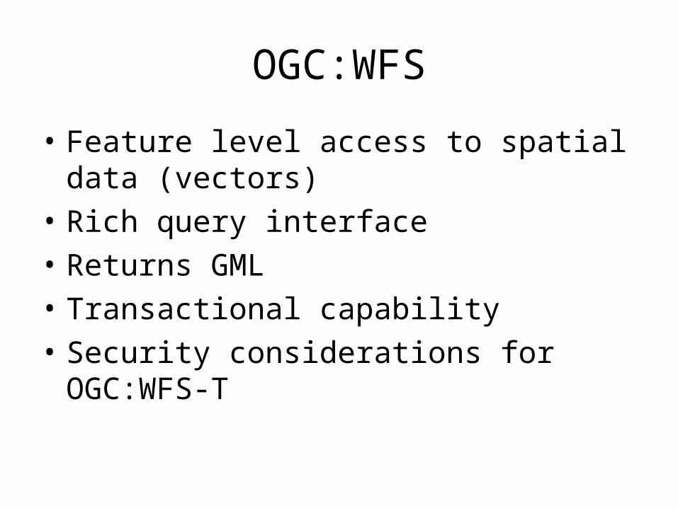
OGC:WFS
• Feature level access to spatial data (vectors)
• Rich query interface
• Returns GML
• Transactional capability
• Security considerations for OGC:WFS-T
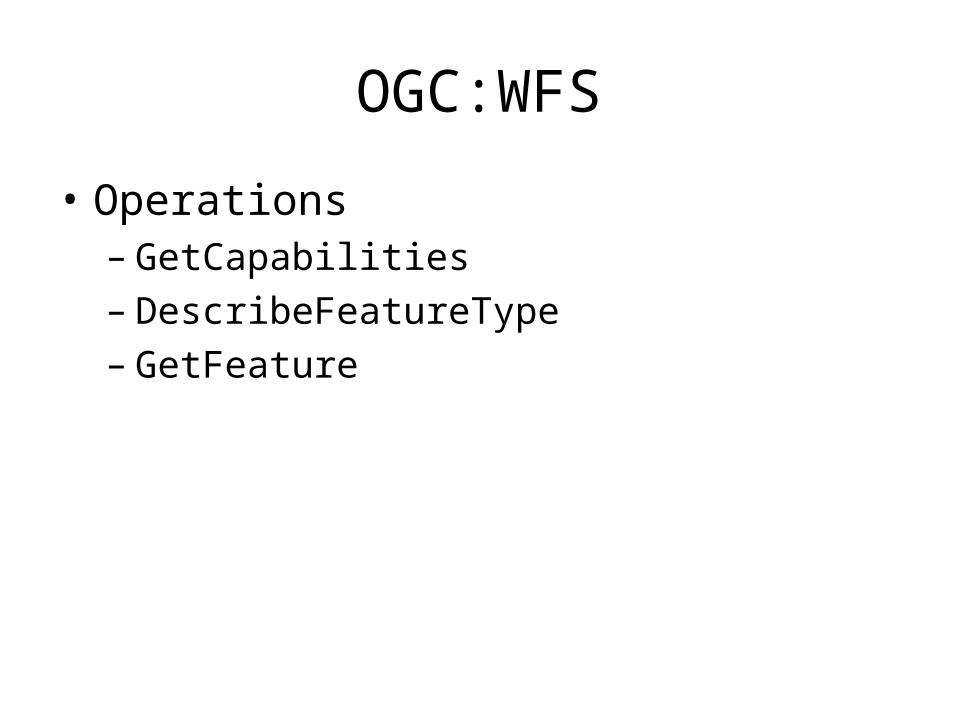
OGC:WFS
• Operations– GetCapabilities– DescribeFeatureType– GetFeature
OGC:WFS
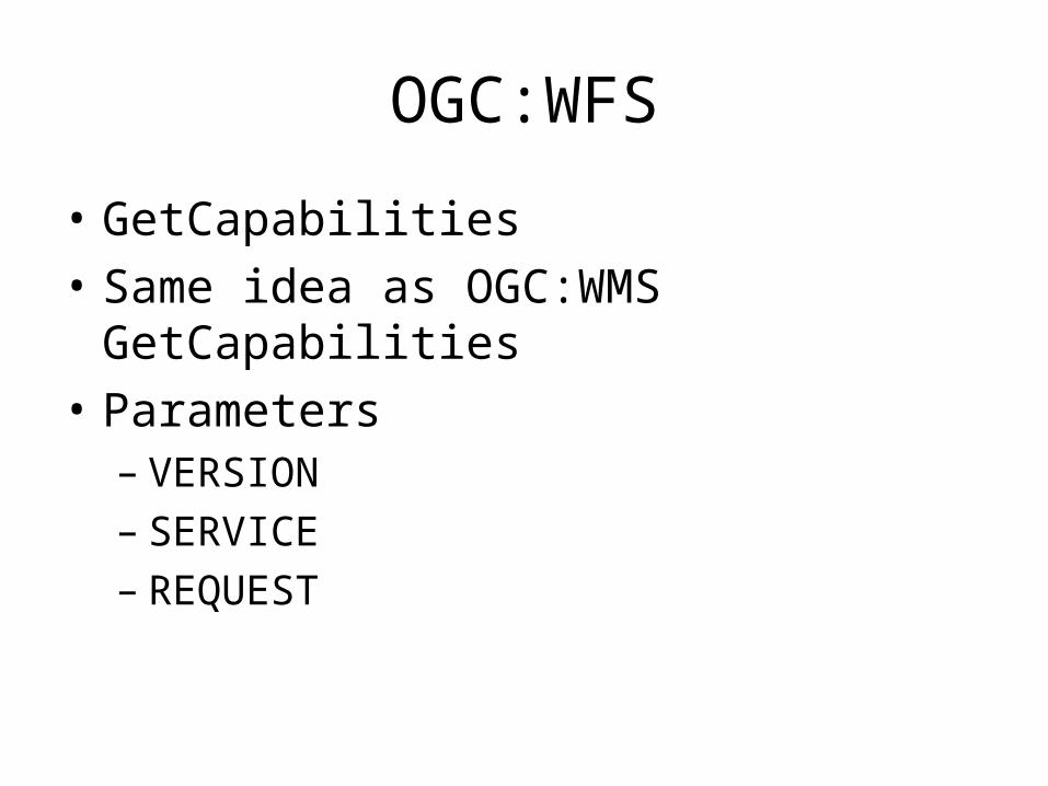
• GetCapabilities
• Same idea as OGC:WMS GetCapabilities
• Parameters– VERSION– SERVICE– REQUEST
OGC:WFS
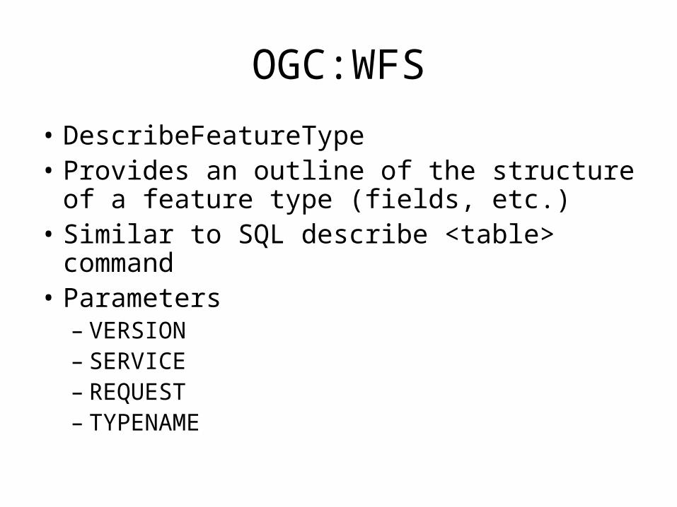
• DescribeFeatureType• Provides an outline of the structure of a
feature type (fields, etc.)• Similar to SQL describe <table> command• Parameters
– VERSION– SERVICE– REQUEST– TYPENAME
OGC:WFS
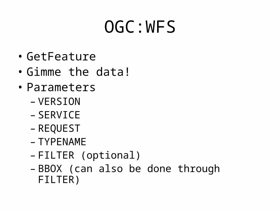
• GetFeature• Gimme the data!• Parameters
– VERSION– SERVICE– REQUEST– TYPENAME– FILTER (optional)– BBOX (can also be done through FILTER)

OGC:WFS
• Enabling in MapServer– Through metadata elements in mapfile
• “wms_*” type metadata– These drive interface content
• see wfs-server howto• Layers must contain “DUMP TRUE”
Consuming OGC:WFS
• MapServer, on your behalf, can connect to OGC:WFS as well
• Takes care of client code specifics (whew!)• Specific LAYER METADATA elements in
mapfile• See wfs-client-howto• http://127.0.0.1/mum2_ogc_workshop/client/wfs/
demo_init.html• http://127.0.0.1/mum2_ogc_workshop/client/wfs/
demo.map
OGC:SLD
• “Add-on” specification to OGC:WMS– “SLD-enabled WMS”
• Enables custom styling– Data at the server does not have to change– Client sends SLD XML document for
symbolization, etc.
OGC:SLD
• Additional OGC:WMS operations with OGC:SLD:– GetLegendGraphic– GetStyles
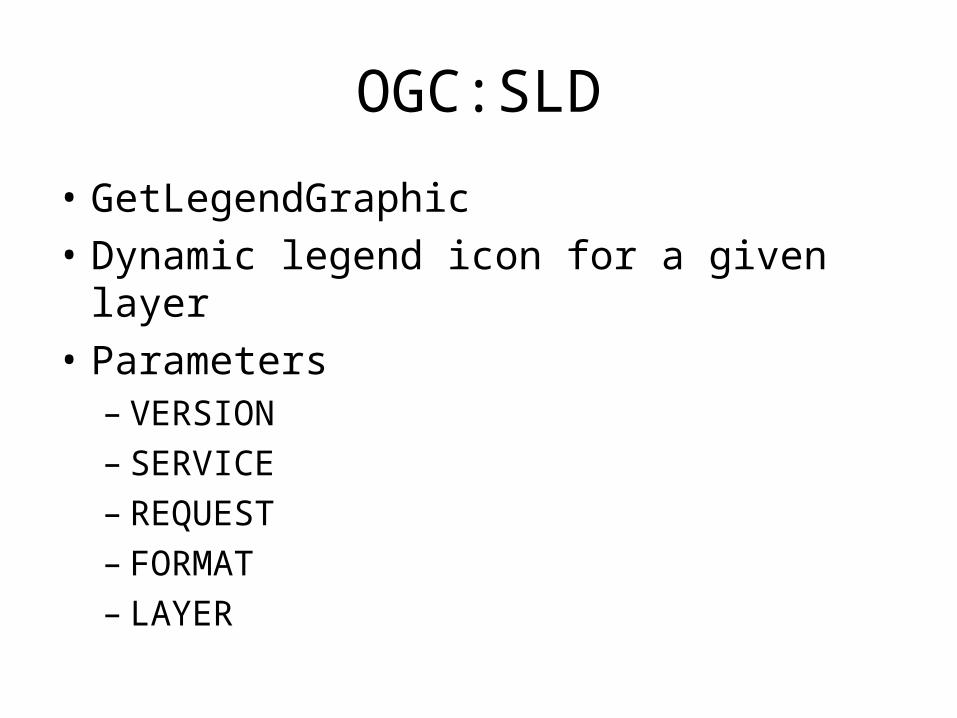
OGC:SLD
• GetLegendGraphic
• Dynamic legend icon for a given layer
• Parameters– VERSION– SERVICE– REQUEST– FORMAT– LAYER

OGC:SLD
• GetStyles
• Returns OGC:SLD for a given layer
• Parameters– VERSION– SERVICE– REQUEST– LAYERS
OGC:SLD
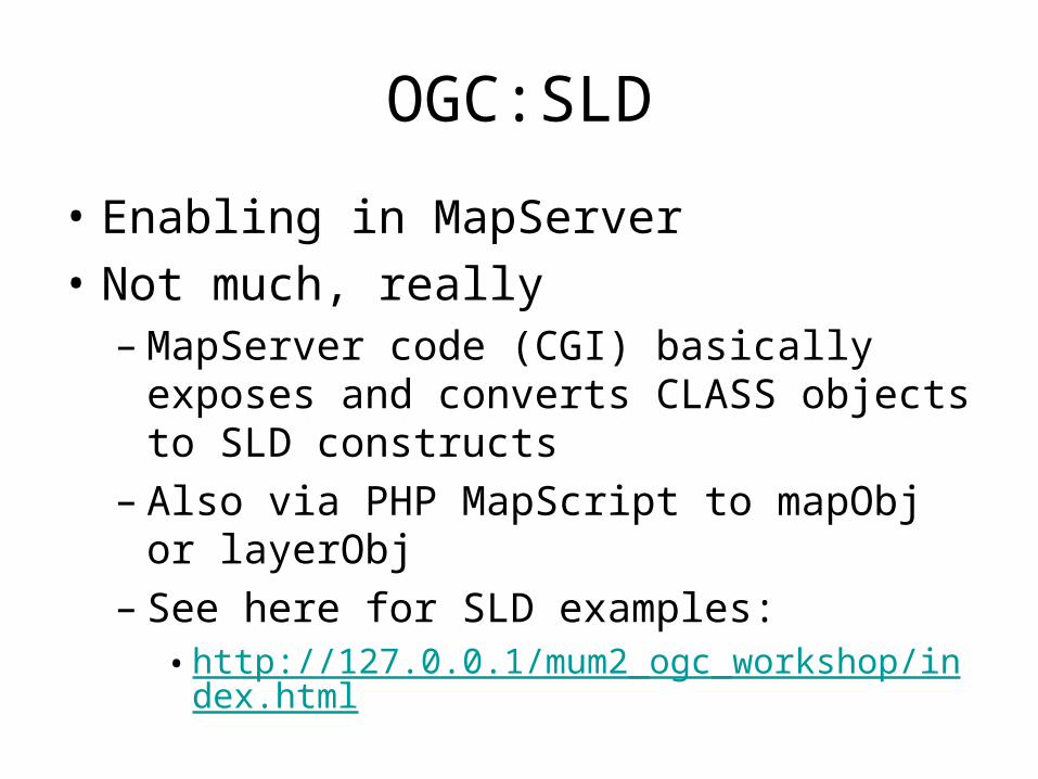
• Enabling in MapServer
• Not much, really– MapServer code (CGI) basically exposes and
converts CLASS objects to SLD constructs– Also via PHP MapScript to mapObj or
layerObj– See here for SLD examples:
• http://127.0.0.1/mum2_ogc_workshop/index.html
OGC:Filter
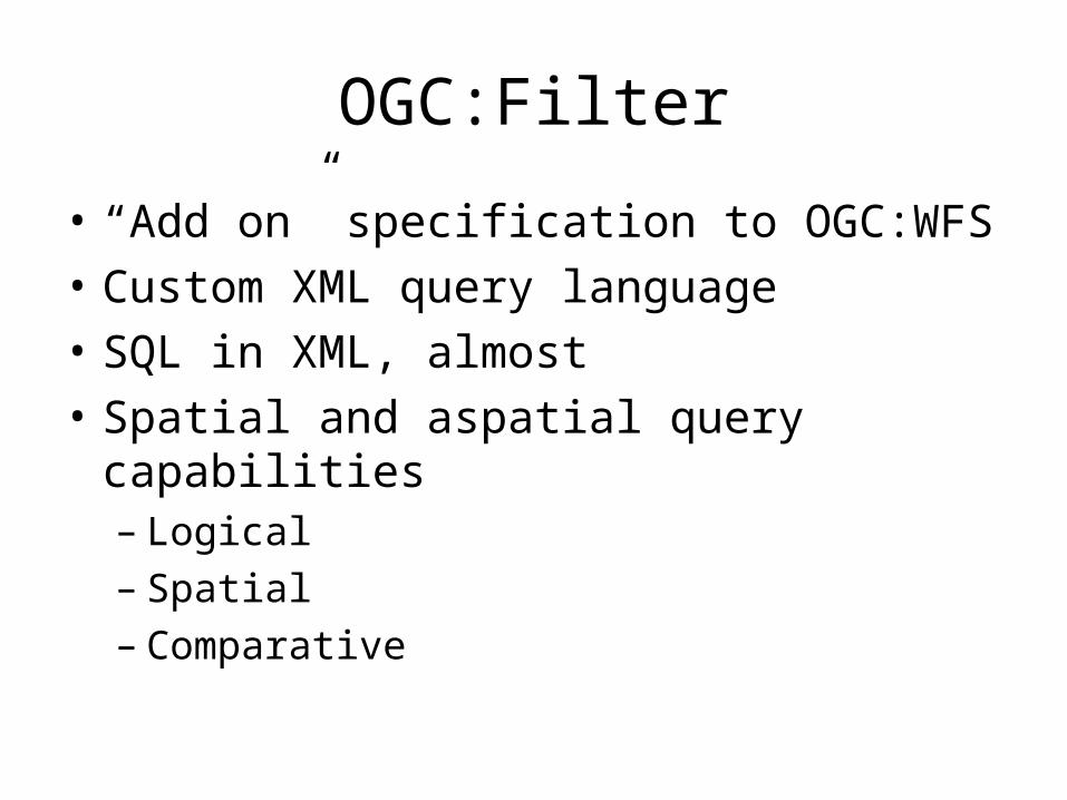
• “Add on” specification to OGC:WFS
• Custom XML query language
• SQL in XML, almost
• Spatial and aspatial query capabilities– Logical– Spatial– Comparative
OGC:Filter
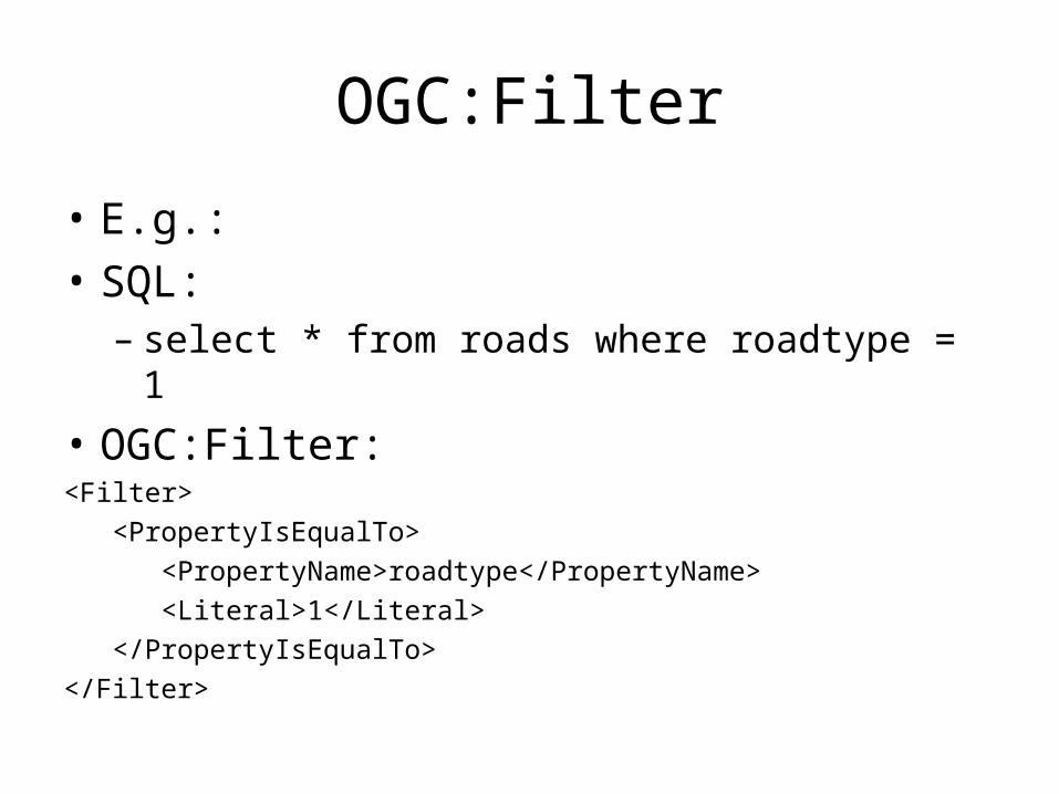
• E.g.:
• SQL:– select * from roads where roadtype = 1
• OGC:Filter:<Filter>
<PropertyIsEqualTo>
<PropertyName>roadtype</PropertyName>
<Literal>1</Literal>
</PropertyIsEqualTo>
</Filter>
OGC:Filter
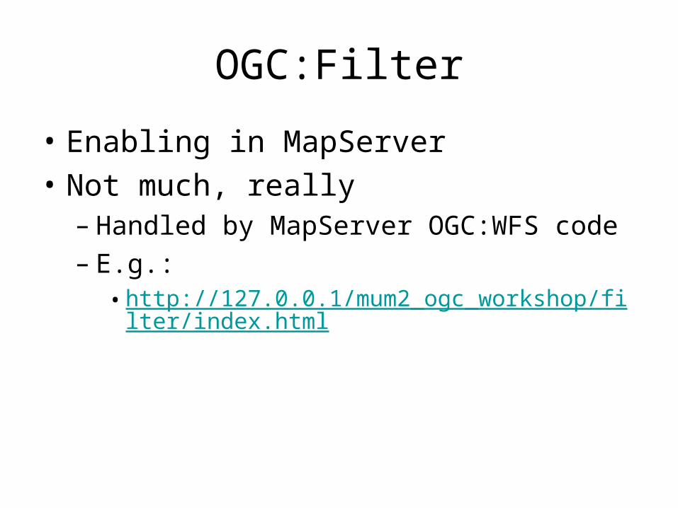
• Enabling in MapServer
• Not much, really– Handled by MapServer OGC:WFS code– E.g.:
• http://127.0.0.1/mum2_ogc_workshop/filter/index.html
OGC:WMC
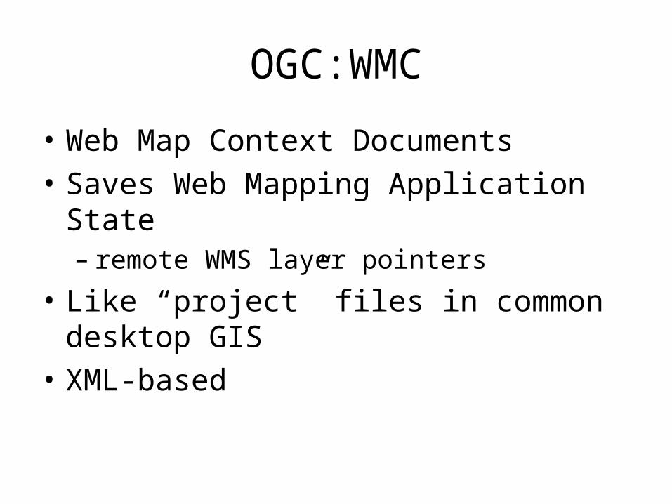
• Web Map Context Documents
• Saves Web Mapping Application State– remote WMS layer pointers
• Like “project” files in common desktop GIS
• XML-based
OGC:WMC
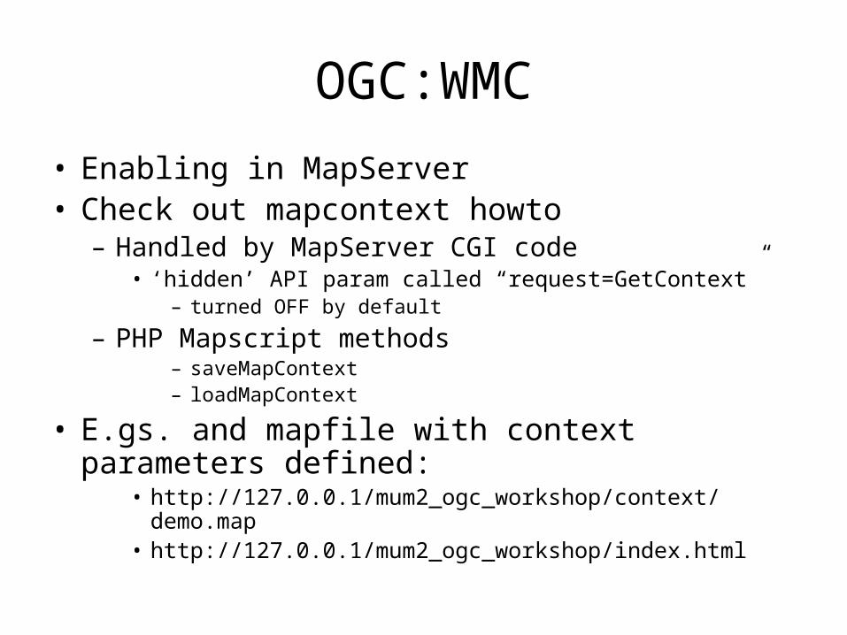
• Enabling in MapServer• Check out mapcontext howto
– Handled by MapServer CGI code• ‘hidden’ API param called “request=GetContext”
– turned OFF by default
– PHP Mapscript methods– saveMapContext– loadMapContext
• E.gs. and mapfile with context parameters defined:
• http://127.0.0.1/mum2_ogc_workshop/context/demo.map• http://127.0.0.1/mum2_ogc_workshop/index.html
Future Goodies
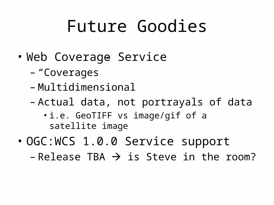
• Web Coverage Service – “Coverages”– Multidimensional– Actual data, not portrayals of data
• i.e. GeoTIFF vs image/gif of a satellite image
• OGC:WCS 1.0.0 Service support– Release TBA is Steve in the room?

Nice-to-Haves
• Abstracting of metadata definitions to reduce redundancy, i.e.:
» “wms_onlineresource”» “wfs_onlineresource”
...is really the same thing (most of the time)– Consider backwards compatibility– Development happening on “ows_*” type definitions
• Official OGC Conformance– Rubber stamping
Nice-to-Haves
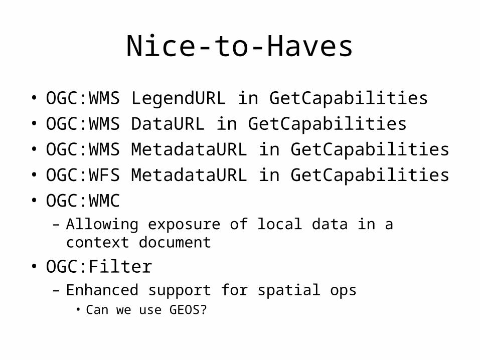
• OGC:WMS LegendURL in GetCapabilities• OGC:WMS DataURL in GetCapabilities• OGC:WMS MetadataURL in GetCapabilities• OGC:WFS MetadataURL in GetCapabilities• OGC:WMC
– Allowing exposure of local data in a context document
• OGC:Filter– Enhanced support for spatial ops
• Can we use GEOS?
Issues
• “Where can I find OGC Web Services”
• User-friendliness of discovery of OGC layers/features/services, etc.


