13
Model Bathymetry Lake Travis: A Sinuous Reservoir Bridget Wadzuk March 29, 2001
| Date post: | 31-Dec-2015 |
| Category: |
Documents |
| Upload: | adrian-hogan |
| View: | 56 times |
| Download: | 1 times |

Model BathymetryLake Travis: A Sinuous Reservoir
Bridget Wadzuk
March 29, 2001

Introduction
Reservoir Characteristics
ModelsCE-QUAL-W2 (COE)
2-DSegmented bathymetry
ELCOM (Hodges/UWA)3-DCartesian grid bathymetry
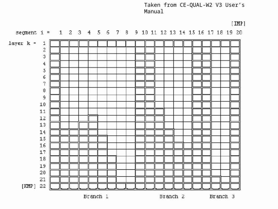
Taken from CE-QUAL-W2 V3 User’s Manual
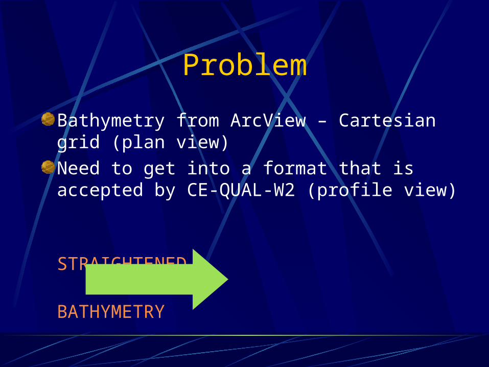
Problem
Bathymetry from ArcView – Cartesian grid (plan view)
Need to get into a format that is accepted by CE-QUAL-W2 (profile view)
STRAIGHTENED
BATHYMETRY

Theory
Relation of physical and radial space1:1 correspondenceRadial lines
Arc lengths
2 2
2 1 2 1 2 10
( , )R s rs s x x y y
R
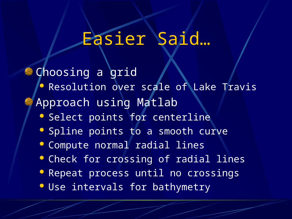
Easier Said…
Choosing a grid Resolution over scale of Lake Travis
Approach using Matlab Select points for centerline Spline points to a smooth curve Compute normal radial lines Check for crossing of radial lines Repeat process until no crossings Use intervals for bathymetry

Bathymetry (original)

Centerline Points

Radial Lines (1)

Radial Lines (2)
Radius of Curvature, Ro
Channel Width, Normally, / Ro < 1 Ignore curvilinear term in sinuous systems
Unacceptable, / Ro > 1Thalweg must be adjusted

Radial Lines (3)

Straightened Bathymetry

Yet To Come
Change approach to a GIS method
Use a smaller, more concise areaLake LBJLess computationally intensive


