Monitoring spatiotemporal patterns of urbanization using satellite remote sensing data ~ A collaborative research with JAXA ~ Rajesh Bahadur THAPA JSPS Fellow, University of Tsukuba 22 April 2010 This collaboration is under the framework of 3 rd Research Announcement
Transcript
Monitoring spatiotemporal patterns of urbanization using satellite remote sensing data
~ A collaborative research with JAXA ~
Rajesh Bahadur THAPA
JSPS Fellow, University of Tsukuba
22 April 2010
This collaboration is under
the framework of 3rd
Research Announcement
2
Presentation outline
1. Project introduction
2. ALOS Data Characteristics
3. ALOS Applications
3
1. Project introduction: Goal
Purpose of this research is to conduct comprehensive analysis on spatiotemporal patterns of urbanization and its impact to environment using remote sensing approaches.
4
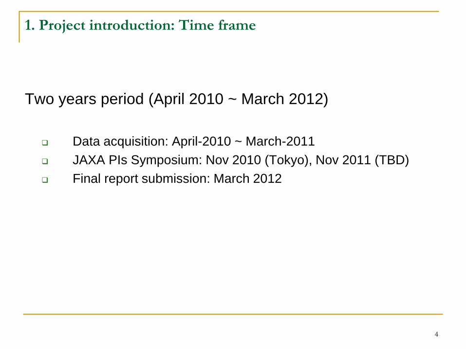
1. Project introduction: Time frame
Two years period (April 2010 ~ March 2012)
Data acquisition: April-2010 ~ March-2011
JAXA PIs Symposium: Nov 2010 (Tokyo), Nov 2011 (TBD)
Final report submission: March 2012
5
1. Project introduction: Data
Following satellite data are available
Data:
Marine Observation Satellite (MOS) (global)
Japanese Earth Resources Satellite (JERS) (global)