20
www.gov.uk/natural-england Monitoring UK Peatlands The state of UK peatlands and their future monitoring By Ian Crosher @IUCNpeat #IUCNPeatConf16
www.gov.uk/natural-england
Monitoring UK PeatlandsThe state of UK peatlands and their future monitoring
By Ian Crosher @IUCNpeat#IUCNPeatConf16
Monitoring
Dictionary definition…
• observe and check the progress or quality of (something) over a period of time; keep under systematic review
• maintain regular surveillance over
• listen to and report on
• check or regulate the technical quality of
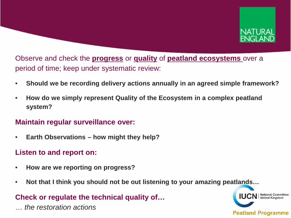
Observe and check the progress or quality of peatland ecosystems over a period of time; keep under systematic review:
• Should we be recording delivery actions annually in an agreed simple framework?
• How do we simply represent Quality of the Ecosystem in a complex peatland system?
Maintain regular surveillance over:
• Earth Observations – how might they help?
Listen to and report on:
• How are we reporting on progress?
• Not that I think you should not be out listening to your amazing peatlands…
Check or regulate the technical quality of… … the restoration actions
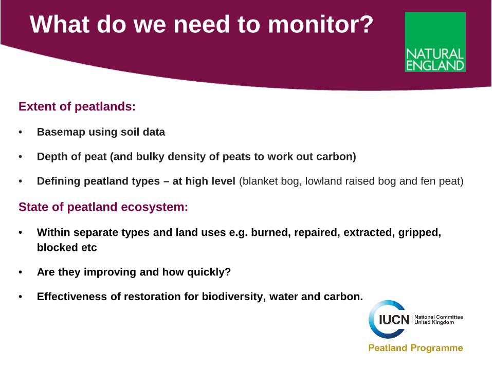
Extent of peatlands:
• Basemap using soil data
• Depth of peat (and bulky density of peats to work out carbon)
• Defining peatland types – at high level (blanket bog, lowland raised bog and fen peat)
State of peatland ecosystem:
• Within separate types and land uses e.g. burned, repaired, extracted, gripped, blocked etc
• Are they improving and how quickly?
• Effectiveness of restoration for biodiversity, water and carbon.
What do we need to monitor?
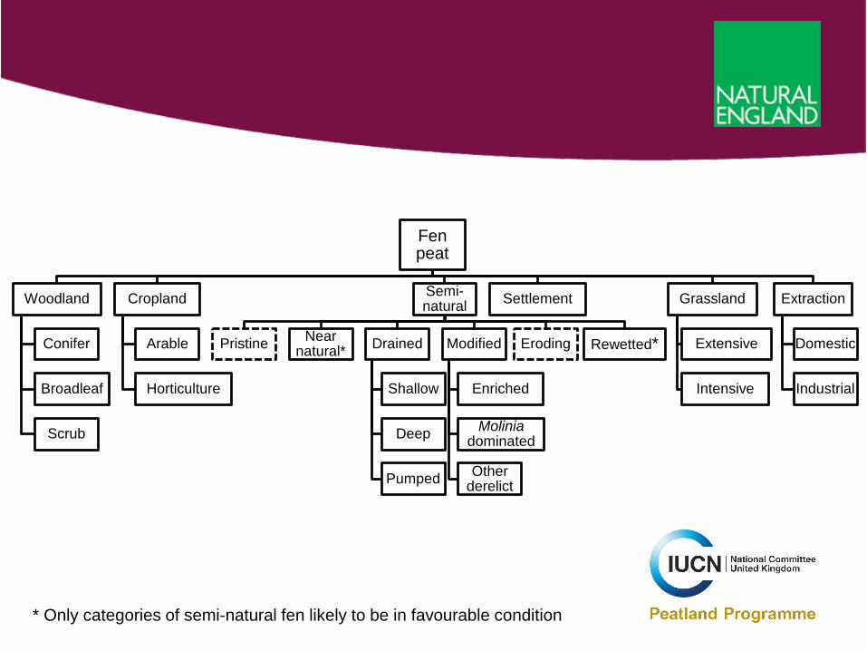
Fen peat
Woodland
Conifer
Broadleaf
Scrub
Cropland
Arable
Horticulture
Semi-natural
Pristine Near natural* Drained
Shallow
Deep
Pumped
Modified
Enriched
Moliniadominated
Other derelict
Eroding Rewetted*
Settlement Grassland
Extensive
Intensive
Extraction
Domestic
Industrial
* Only categories of semi-natural fen likely to be in favourable condition
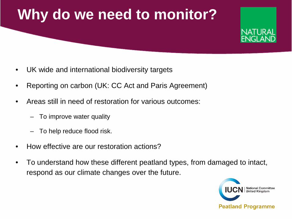
• UK wide and international biodiversity targets
• Reporting on carbon (UK: CC Act and Paris Agreement)
• Areas still in need of restoration for various outcomes:
– To improve water quality
– To help reduce flood risk.
• How effective are our restoration actions?
• To understand how these different peatland types, from damaged to intact, respond as our climate changes over the future.
Why do we need to monitor?
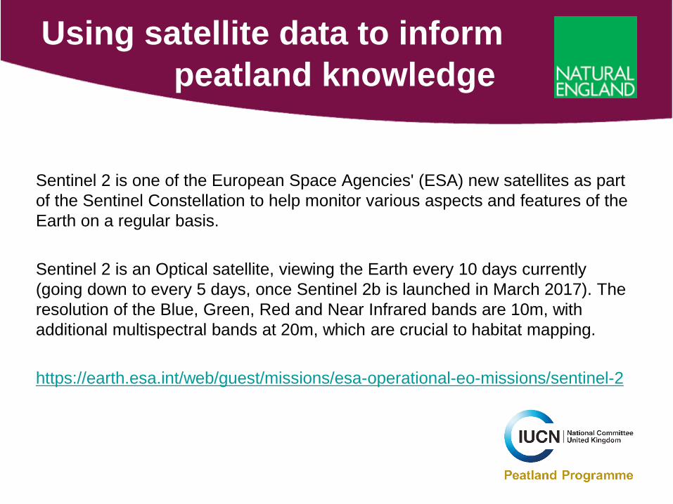
Sentinel 2 is one of the European Space Agencies' (ESA) new satellites as part of the Sentinel Constellation to help monitor various aspects and features of the Earth on a regular basis.
Sentinel 2 is an Optical satellite, viewing the Earth every 10 days currently (going down to every 5 days, once Sentinel 2b is launched in March 2017). The resolution of the Blue, Green, Red and Near Infrared bands are 10m, with additional multispectral bands at 20m, which are crucial to habitat mapping.
https://earth.esa.int/web/guest/missions/esa-operational-eo-missions/sentinel-2
Using satellite data to informpeatland knowledge
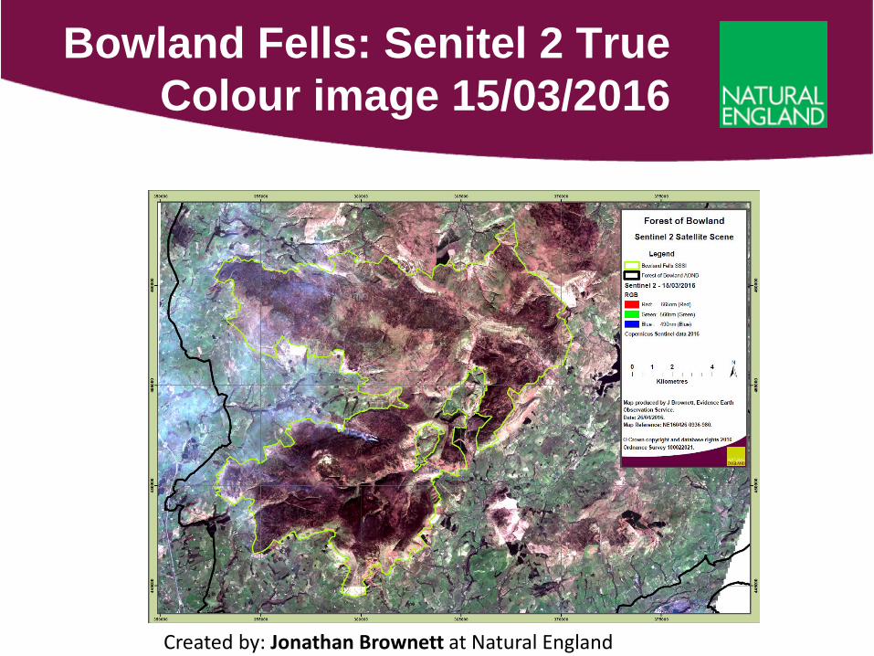
Bowland Fells: Senitel 2 True Colour image 15/03/2016
Created by: Jonathan Brownett at Natural England
• These allow us to display data as a 'false colour composite' and basically means we can pick differing bands and order them to show an image, which doesn't match our normal red, green, blue view of the world!
• These false colour images help to distinguish vegetation, which to the eye are very similar in colour. So very useful for us when looking for a separation between different peatland types.
• There are a number of areas where vegetation blocks are more easily recognisable in one spectral band than the other.
• These extra spectral bands, also allow us to calculate vegetation indices.
Extra spectral bands available from Senitel 2

Bowland Fells: Senitel 2 False Colour image 15/03/2016
This image used the Near Infrared band and two Red Edge bands
Created by: Jonathan Brownett at Natural England
• The most common vegetation indices on which is the NDVI (Normalised Difference Vegetation Index).
• This index uses Red and Near Infrared bands, and produces an output which helps to distinguish areas of non vegetation; i.e. water, roads and buildings from vegetation.
• It also helps to show more productive vegetation types from less productive; i.e. Improved grasslands have a high NDVI value whereas heathland vegetation tends to have a low productivity.
Normalised Difference Vegetation Index (NDVI)
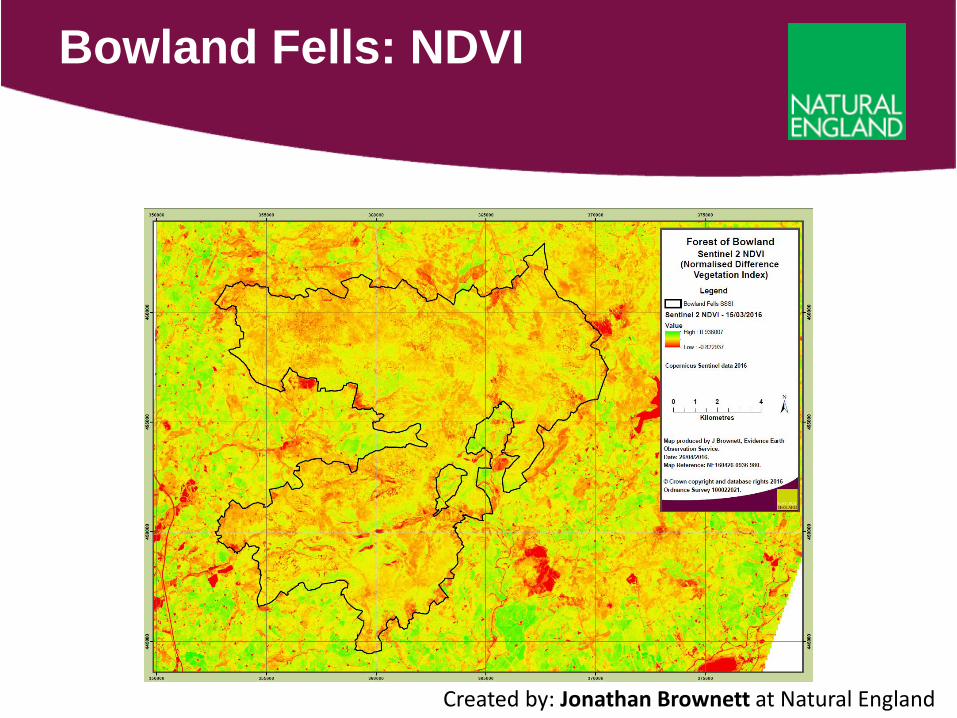
Bowland Fells: NDVI
Created by: Jonathan Brownett at Natural England
• This is to classify the habitats, or in our case different levels of bog
• It would use satellite passes from different times of the year, as quite a bit of bog vegetation will give different responses in the different seasons e.g. Molinia from summer to autumn, heather in winter and summer etc.
• It is also possible to look at soil moisture levels on a gradient from dry to wet.
Object Based Image Analysis

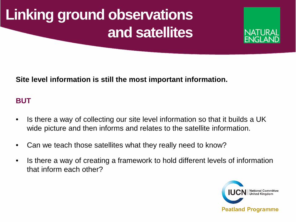
Site level information is still the most important information.
BUT
• Is there a way of collecting our site level information so that it builds a UK wide picture and then informs and relates to the satellite information.
• Can we teach those satellites what they really need to know?
• Is there a way of creating a framework to hold different levels of information that inform each other?
Linking ground observations and satellites
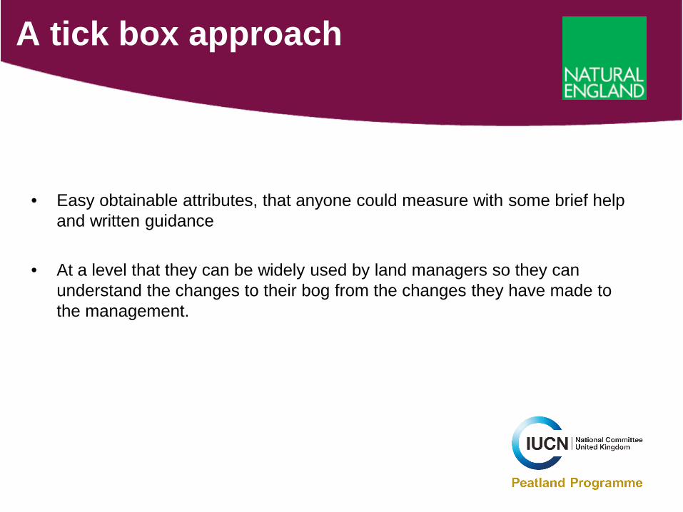
• Easy obtainable attributes, that anyone could measure with some brief help and written guidance
• At a level that they can be widely used by land managers so they can understand the changes to their bog from the changes they have made to the management.
A tick box approach
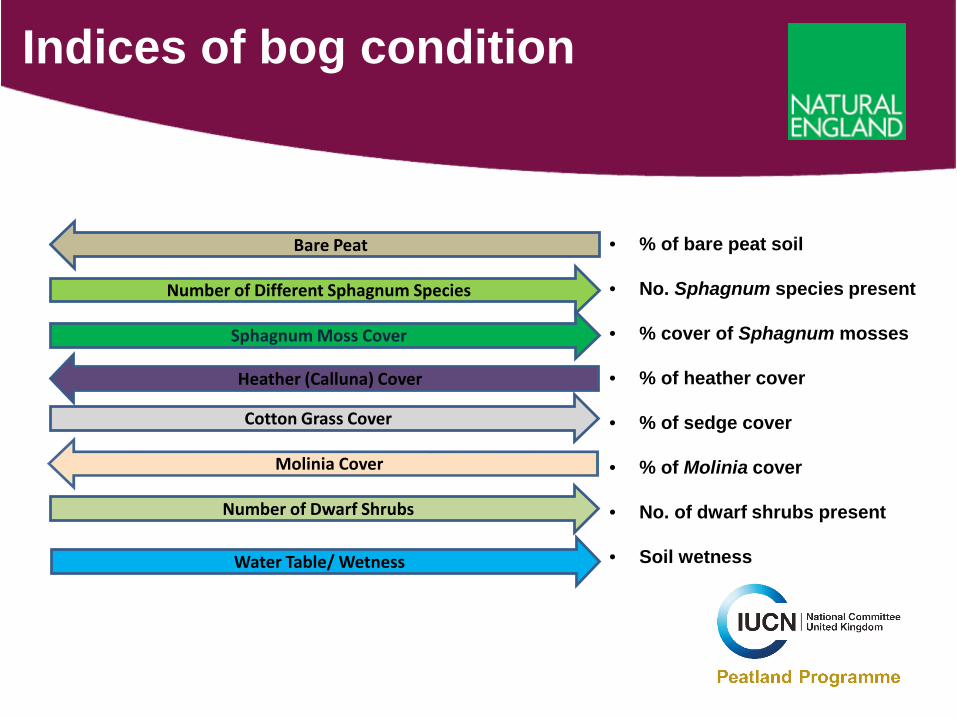
Indices of bog condition
Sphagnum Moss Cover
Heather (Calluna) Cover
Cotton Grass Cover
Bare Peat
Number of Different Sphagnum Species
Water Table/ Wetness
Number of Dwarf Shrubs
Molinia Cover
• % of bare peat soil
• No. Sphagnum species present
• % cover of Sphagnum mosses
• % of heather cover
• % of sedge cover
• % of Molinia cover
• No. of dwarf shrubs present
• Soil wetness
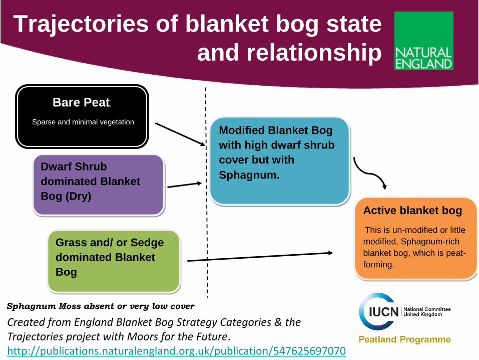
Trajectories of blanket bog state and relationship
Bare Peat,
Sparse and minimal vegetation
Dwarf Shrub dominated Blanket Bog (Dry)
Grass and/ or Sedge dominated Blanket Bog
Sphagnum Moss absent or very low cover
Modified Blanket Bog with high dwarf shrub cover but with Sphagnum.
Active blanket bog This is un-modified or little modified, Sphagnum-rich blanket bog, which is peat-forming.
Created from England Blanket Bog Strategy Categories & the Trajectories project with Moors for the Future.http://publications.naturalengland.org.uk/publication/547625697070
Thursday Workshop ‘Monitoring: Land’
Land Cover Map of the South Pennine Moors Special Area of Conservation with Tia Crouch
Moor For the Future Partnership, through our EU LIFE funded MoorLIFE 2020 project have developed a landcover map of Entire South Pennine Moors SAC and West Pennine Moors using a combination of 2016 satellite imagery and the most up to date aerial photographs from fixed wing plane. Tia crouch (in cc) is presenting on this in use on Thursday .There is also have a poster on this too.
We will be monitoring the recovery of the areas we ‘restore’ in this project and going forward generally using EO data collected using a UAV (unmanned aerielavehicle) equipped with a range of sensors. Essentially our focus is to monitor sphagnum cover and ‘wetness’ of the peat. Tia will mention this in her presentation.
Reminder on guidance that already exists
The aim of this guidance is to provide information to enable peatland restoration projects to develop appropriate monitoring programmes.
Degraded peatlands are restored for a wide range of reasons. Restoration objectives can include protecting and enhancing biodiversity, improving water quality, reducing flood risk and protecting cultural heritage or carbon stores.
Restoration projects need monitoring programmes to show whether these objectives are being met and to help them to adapt practices to respond to environmental changes.http://publications.naturalengland.org.uk/publication/46013


