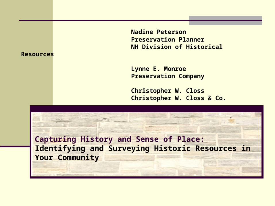
Nadine Peterson Preservation Planner NH Division of Historical Resources Lynne E. Monroe Preservation Company Christopher W. Closs Christopher W. Closs & Co. Capturing History and Sense of Place: Identifying and Surveying Historic Resources in Your Community
Transcript
Nadine Peterson Preservation PlannerNH Division of Historical Resources
Lynne E. Monroe Preservation Company
Christopher W. ClossChristopher W. Closs & Co.
Capturing History and Sense of Place:Identifying and Surveying Historic Resources in Your Community
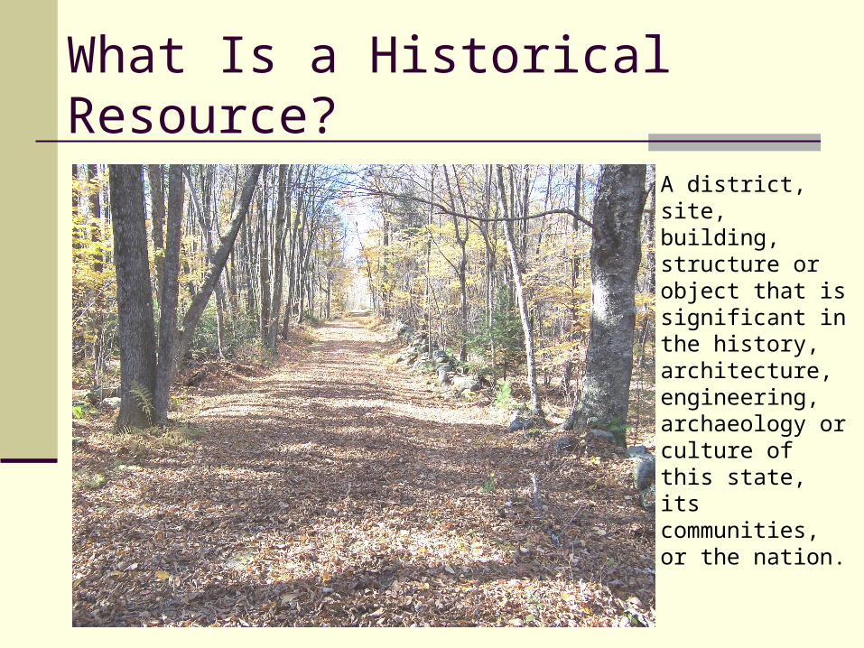
What Is a Historical Resource?
A district, site, building, structure or object that is significant in the history, architecture, engineering, archaeology or culture of this state, its communities, or the nation.
Inventory of a community’s historic buildings, structures, sites, and objects - the resources that define a community
Essential tool for any form of preservation planning - every community should have one
Lays the groundwork for decision making and policies related to historic resources
Provides sound basis for establishing preservation priorities
Why Survey Historical Resources?
What trends and events have shaped your community’s history?
• Events: county seat, prolific builder, flood Helpful to break into chronological periods or historical
themes Each town’s history is reflected in its built environment
and contributes to its distinctive character Provides context for evaluating resources
Historic Resources Survey
What are the resources that tell the story of your community’s history? 50+ years old
Consider the full range of resources – local history far more than handful of icons
Survey is defined as the process of identifying and gathering information about historic resources.
A survey of historic properties should look beyond buildings to include all visible aspects of the built environment that combine to form our historic fabric.
Four basic steps apply to the process of architectural survey:
establishing the purpose for the survey
conducting research
undertaking fieldwork
preparing a written report.
Historic Resources Survey
Stone wallsFences or Fence Posts
Field PatternsOrchards
Cellar HolesWells
Visible Archaeological Features
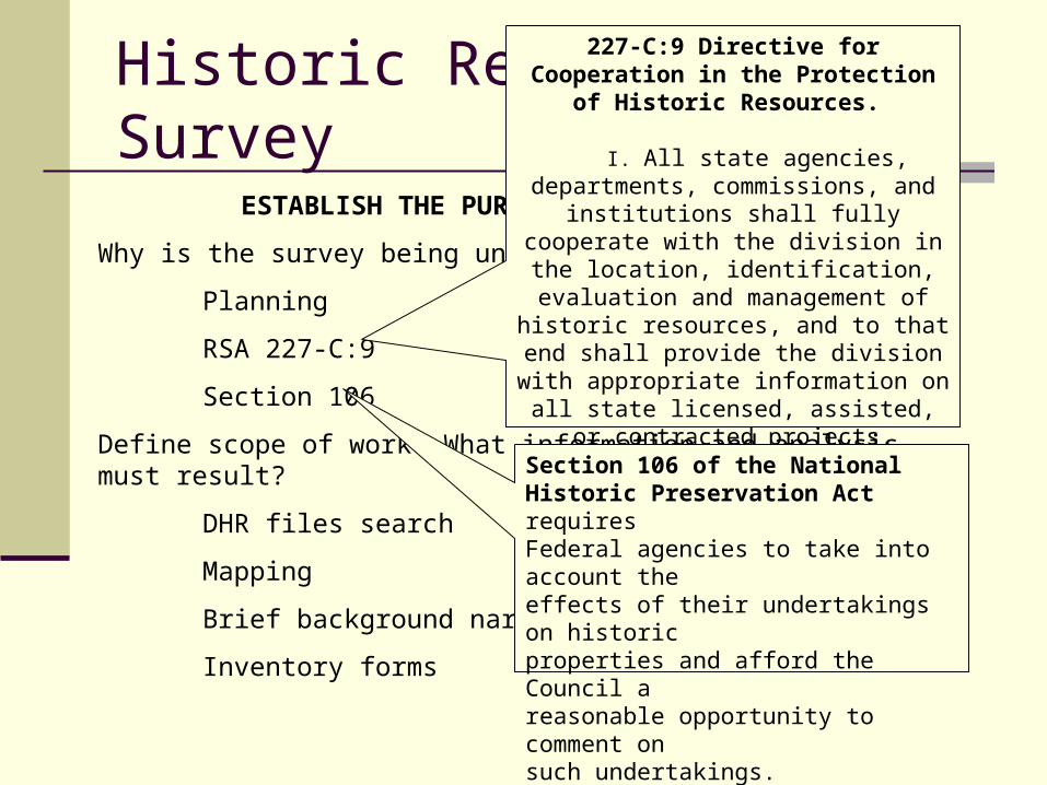
ESTABLISH THE PURPOSE FOR THE SURVEY
Why is the survey being undertaken?
Planning
RSA 227-C:9
Section 106
Define scope of work. What information and analysis must result?
DHR files search
Mapping
Brief background narrative
Inventory forms
Historic Resources Survey227-C:9 Directive for Cooperation in the
Protection of Historic Resources.
I. All state agencies, departments, commissions, and institutions shall fully
cooperate with the division in the location, identification, evaluation and management of
historic resources, and to that end shall provide the division with appropriate
information on all state licensed, assisted, or contracted projects, activities, or programs so that the division may determine the effect of
such undertakings on historic resources.
Section 106 of the NationalHistoric Preservation Act requiresFederal agencies to take into account theeffects of their undertakings on historicproperties and afford the Council areasonable opportunity to comment onsuch undertakings.
Research
CONDUCT RESEARCH
Background research is geared to the survey purpose.
Research can relate to a broad overview of many properties (as in a published county history) or to a single property (as in deed research).
Materials may include historic mapping, historic photographs, census information, oral histories etc.
What is Fieldwork?
Field work entails the physical and visual identification, documentation, and recordation of historic resources in the survey area. It is a systematic identification of resources through mapping, field notes, and photography.
What Is Integrity?
Does the property convey its significance through its physical appearance?
Begin by listing known changes to the entire property: buildings, structures, landscape, and larger setting.
National Register: location, design, setting, materials, workmanship, feeling and association.
What is Significance?
To qualify for listing in the National Register of Historic Places, a property must be significant, that is, it must represent a significant historic context in the history, architecture, archaeology, engineering, or culture of an area, and it must have the characteristics that made it a good representative of properties associated with that context.
Inventory Forms
Finally, the research and fieldwork are synthesized into a written document that presents survey findings with illustrations, text and photographs.
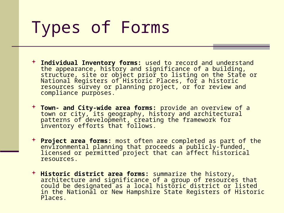
Types of Forms
Individual Inventory forms: used to record and understand the appearance, history and significance of a building, structure, site or object prior to listing on the State or National Registers of Historic Places, for a historic resources survey or planning project, or for review and compliance purposes.
Town- and City-wide area forms: provide an overview of a town or city, its geography, history and architectural patterns of development, creating the framework for inventory efforts that follows.
Project area forms: most often are completed as part of the environmental planning that proceeds a publicly-funded, licensed or permitted project that can affect historical resources.
Historic district area forms: summarize the history, architecture and significance of a group of resources that could be designated as a local historic district or listed in the National or New Hampshire State Registers of Historic Places.
Next Steps
For more information regarding the NHDHR Historic Resources Survey Program, contact: