UNSD-AITRS Regional Workshop on the Integration of Statistical and Geospatial Information Amman, Jordan, 16-20 February, 2015 National Census Geography Some lessons learned and future challenges in European countries Dr ROBERTO BIANCHINI Interuniversity Research Center for Sustainable Development Population, Health and Geographic Information Systems Section
Transcript
UNSD-AITRS Regional Workshop on the Integration of
Statistical and Geospatial Information
Amman, Jordan, 16-20 February, 2015
National Census GeographySome lessons learned and future challenges in European countries
Dr ROBERTO BIANCHINI
Interuniversity Research Center for Sustainable Development
Population, Health and Geographic Information Systems Section
Overview
Definition of national census geography
Criteria to delineate EAs
Census methodology
Traditional – Combined - Register-based censuses
Geospatial information in traditional and combined
censuses
Geospatial information in register-based censuses
Traditional versus Register
A flexible and complex census geography
Grid versus administrative maps
Pag 2NSD-AITRS Regional Workshop on the Integration of Statistical and Geospatial Information, Amman, 16-20 February, 2015
Definition of national census geography
• The administrative areas for which
census data will be reported, and
for some of them, disseminated
• List of all administrative,
geographic and statistical units in
the country, with their relationships
• Consists of a hierarchy of
administrative and non-
administrative units
• Every country has its own specific
administrative hierarchy
Pag 3NSD-AITRS Regional Workshop on the Integration of Statistical and Geospatial Information, Amman, 16-20 February, 2015
region
province
district
sub-district
urban localityrural locality
ward
enumeration
area
enumerationarea
country
Definition of national census geography
Simple census geographic
Pag 4NSD-AITRS Regional Workshop on the Integration of Statistical and Geospatial Information, Amman, 16-20 February, 2015
region
province
district
sub-district
urban localityrural locality
ward
enumerationarea
enumerationarea
country
Complex census geographic
region
province
district
sub-district
urban localityrural locality
ward
enumerationarea
enumerationarea
country
Postal codes
School districts
Electoral districts
Development areas
Catchment
areas for
servicesTraffic zones
Workplace zone
Electoral districts
Small-area statisticsneighborhood
Criteria to delineate EAs
Pag 5NSD-AITRS Regional Workshop on the Integration of Statistical and Geospatial Information, Amman, 16-20 February, 2015
• Be mutually exclusive and exhaustive with associated
unique ID codes
• Have easily identifiable boundaries on the ground
• Be consistent with the administrative hierarchy
• Be consistent with statistical and geographic entities
• Be of approximately equally sized population
•
• Be small enough and accessible to be covered by an
enumerator
• Be large enough to guarantee data privacy
• Be useful for other types of data collection activities.
Which census geography for which census
method?
Pag 6NSD-AITRS Regional Workshop on the Integration of Statistical and Geospatial Information, Amman, 16-20 February, 2015
• Traditional?
• Combined?
• Register-based census?
Census methodology
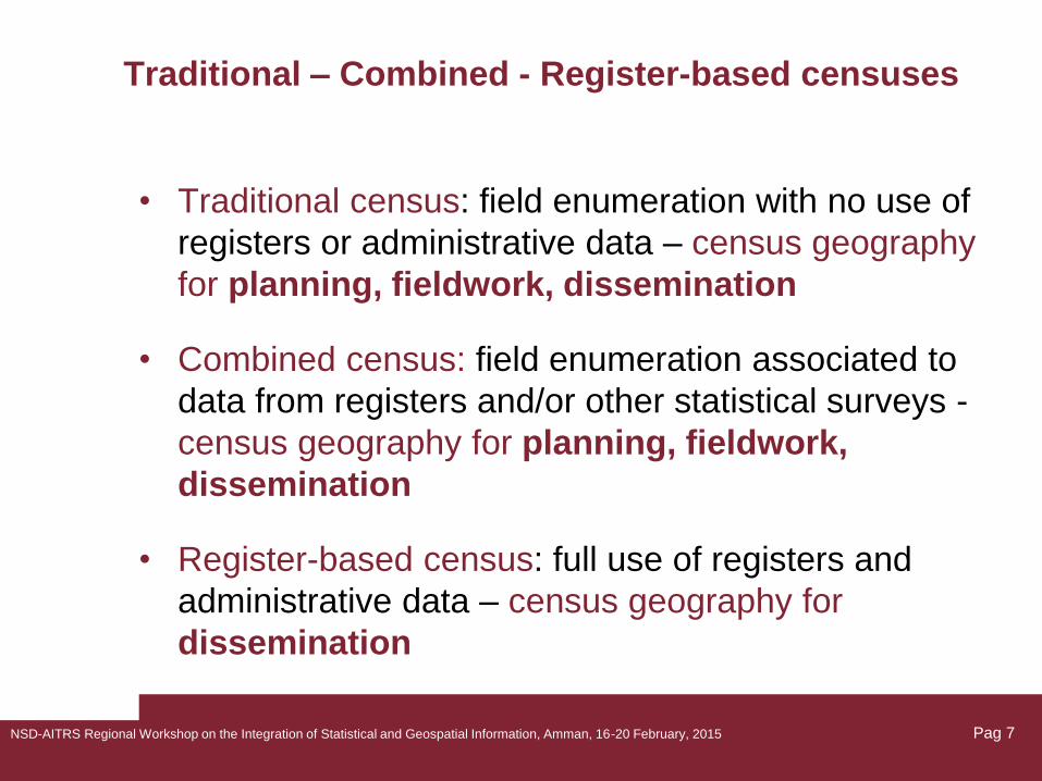
Traditional – Combined - Register-based censuses
• Traditional census: field enumeration with no use of
registers or administrative data – census geography
for planning, fieldwork, dissemination
• Combined census: field enumeration associated to
data from registers and/or other statistical surveys -
census geography for planning, fieldwork,
dissemination
• Register-based census: full use of registers and
administrative data – census geography for
dissemination
Pag 7NSD-AITRS Regional Workshop on the Integration of Statistical and Geospatial Information, Amman, 16-20 February, 2015
Traditional – Combined - Register-based censuses
in UNECE Region*
Pag 8
COUNTRY CENSUS METHODKyrgyzstan TraditionalLatvia CombinedLiechtenstein CombinedLithuania CombinedLuxembourg TraditionalMalta TraditionalMonaco TraditionalMontenegro TraditionalNetherlands CombinedNorway Register-basedPoland CombinedPortugal TraditionalRepublic of Moldova TraditionalRomania TraditionalRussian Federation TraditionalSan Marino TraditionalSerbia TraditionalSlovakia TraditionalSlovenia Register-basedSpain CombinedSweden Register-basedSwitzerland CombinedTajikistan TraditionalFYROM - Macedonia No censusTurkey CombinedTurkmenistan TraditionalUkraine TraditionalUnited Kingdom TraditionalUzbekistan Mini-census
COUNTRY CENSUS METHOD
Albania Traditional
Andorra Register-based
Armenia Traditional
Austria Register-based
Azerbaijan Traditional
Belarus Traditional
Belgium Register-based
Bosnia-Herzegovina. Traditional
Bulgaria Traditional
Canada Traditional
Croatia Traditional
Cyprus Traditional
Czech Republic Combined
Denmark Register-based
Estonia Combined
Finland Register-based
France Rolling
Georgia Traditional
Germany Combined
Greece Traditional
Hungary Traditional
Iceland Combined
Ireland Traditional
Israel Combined
Italy Combined
Kazakhstan Traditional
* Economic Commission for Europe, Paris, 6-8 June 2012
NSD-AITRS Regional Workshop on the Integration of Statistical and Geospatial Information, Amman, 16-20 February, 2015
Traditional – Combined - Register-based censuses
in UNECE Region
Pag 9
* Economic Commission for Europe, Paris, 6-8 June 2012
NSD-AITRS Regional Workshop on the Integration of Statistical and Geospatial Information, Amman, 16-20 February, 2015
In comparison to the 2000 census round:
• Less number of European countries conducted a
traditional census in the 2010 round
• Larger number of European countries conducted a
combined or a register-based census in the 2010
round
• Census geography more complex, and geospatial
tools widely used by almost all UNECE countries
Pag 10
Traditional, Combined, Register-based censuses
in Europe
NSD-AITRS Regional Workshop on the Integration of Statistical and Geospatial Information, Amman, 16-20 February, 2015
• Reduced costs
• Reduced burden of respondents
• Reduced time to produce census outputs
• Better coverage and quality of census data
Coverage and data quality depends on the quality
of registers, including geospatial information
Pag 11
Expectations from register-based census
NSD-AITRS Regional Workshop on the Integration of Statistical and Geospatial Information, Amman, 16-20 February, 2015
• Legal framework. Use of administrative data for
statistical purposes, data protection
• Registers. Availability of comprehensive and reliable