National Geodetic Survey OPUS Projects OPUS Projects update update NOAA’s National Geodetic Survey NOAA’s National Geodetic Survey geodesy.noaa.gov geodesy.noaa.gov Rick Foote Rick Foote [email protected]2015 FGCS Meeting, Crystal City, VA 1
Transcript
National Geodetic Survey
OPUS Projects updateOPUS Projects updateNOAA’s National Geodetic SurveyNOAA’s National Geodetic Survey
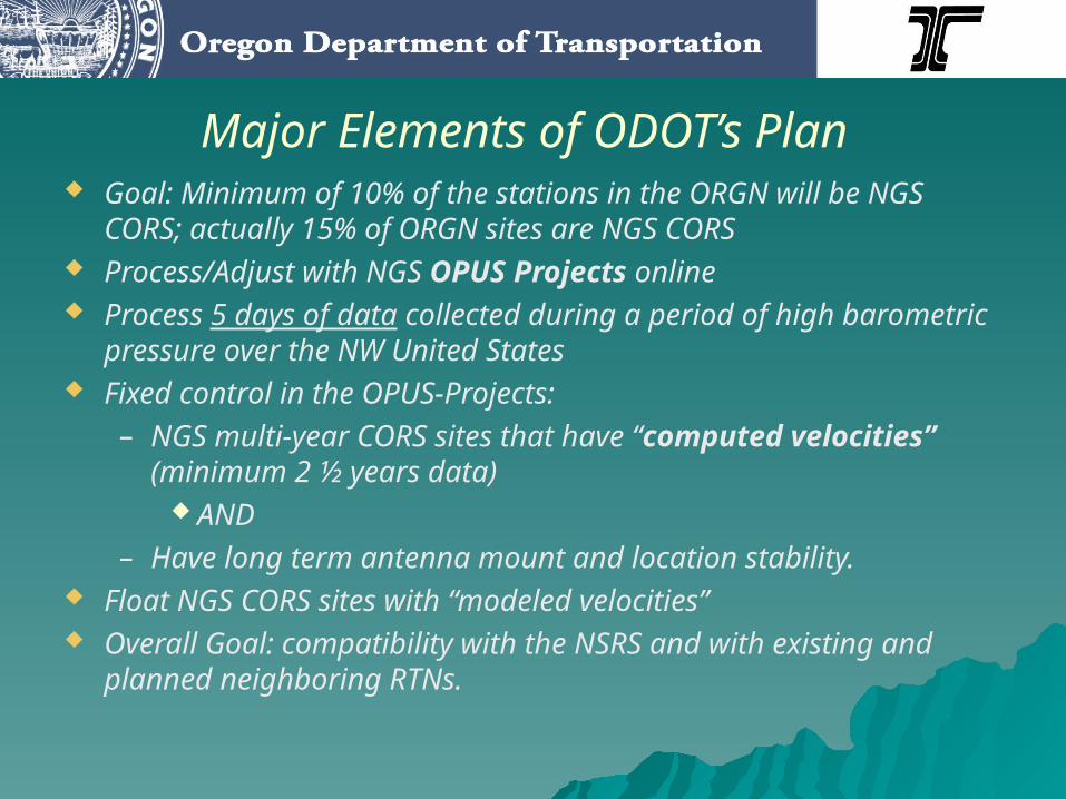
Mark Armstrong’s slide #11 showed that many RTNs are aligned with the NSRS, using the NGS RTN Guidelines for Real Time GNSS Networks document. As an example, two slides from the July 2013 RTN webinar presentation are shown next (with permission of Ken Bays, the ODOT RTN Manager)
Major Elements of ODOT’s Plan Goal: Minimum of 10% of the stations in the ORGN will be
NGS CORS; actually 15% of ORGN sites are NGS CORS Process/Adjust with NGS OPUS Projects online Process 5 days of data collected during a period of high
barometric pressure over the NW United States Fixed control in the OPUS-Projects:
– NGS multi-year CORS sites that have “computed velocities” (minimum 2 ½ years data)
AND– Have long term antenna mount and location stability.
Float NGS CORS sites with “modeled velocities” Overall Goal: compatibility with the NSRS and with existing
and planned neighboring RTNs.
CORS Stations fixed in OPUS Projects AdjustmentCORS Stations fixed in OPUS Projects Adjustment
BREWPABHFTS5IDPNGOBSBURNORS2ORK5REDMCABL
OPUS Projects RTN validation
6
Goal 3 (of 5): Expand the National Spatial Reference System Stakeholder Base through Partnerships, Education, and Outreach
Objective 3-1: By 2015, provide a process for RTN operators to validate their RTNs are aligned to the NSRS and meet NGS’ acceptable standards.
With RTN use expected to grow, it would be wise to engage the RTN user community in the development of a methodology for understanding how their derived coordinates are consistent with the NSRS.
From the NGS 10 Year Plan 2013-2023:
NGS RTN webinars:2014: http://www.ngs.noaa.gov/corbin/class_description/RTN_Best_Practices_0314.shtml2013: http://www.ngs.noaa.gov/corbin/class_description/RTN_Administration.shtml2015: See http://www.ngs.noaa.gov/corbin/calendar.shtml for future webinar
Example: (Also CORS Station)Difference: 1.0 cm latitude 0.2 cm longitude
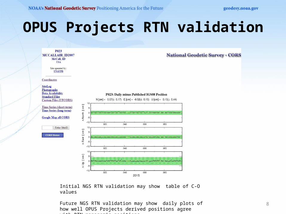
OPUS Projects RTN validation
8
Initial NGS RTN validation may show table of C-O values
Future NGS RTN validation may show daily plots of how well OPUS Projects derived positions agree with RTN manager’s positions
OPUS Projects Data Sharing
9
Another idea under consideration is having user selected OPUS Projects marks ability to be integrated into OPUS Sharing
Nearly 10,000 marks have been submitted to OPUS for sharing
OPUS Projects using Rapid Static
10
OPUS Projects uses OPUS-S only, which requires 2+ hours of data . OPUS-RS requires 15+ minutes of data, and studies have shown that longer OPUS-RS occupations are as accurate as OPUS-S. We are considering allowing one plus hour OPUS-RS occupations in OPUS Projects
OPUS Projects Training
11
OPUS Projects requires users to attend a 1 ½ day training class, usually led by State Advisors. Having hands on experience in selecting CORS, constraints, and the manner in which the network is set up is critical in the accuracy of the adjusted coordinates.
However, this requires considerable expense for NGS and time commitment for the trainers and the attendees. NGS will have future discussions into the possibility of creating a web based self paced course to instruct some users.