1 Coastal and Marine Spatial Planning CMSP - Transforming Ocean Management Jena Carter, West Coast Marine Director October 2011 CMSP - Transforming Ocean Management What is CMSP? CMSP - Transforming Ocean Management SEA SURFACE Å Å Å TIME ocean planning CMSP - Transforming Ocean Management SEAFLOOR WATER COLUMN Å Å Å TIME CMSP - Transforming Ocean Management Northern right whale v Maritime commerce northern right whale v. maritime commerce CMSP - Transforming Ocean Management
Transcript
1
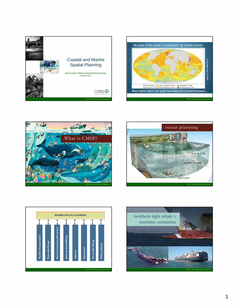
Coastal and Marine Spatial Planning
CMSP - Transforming Ocean Management
Jena Carter, West Coast Marine DirectorOctober 2011
CMSP - Transforming Ocean Management
What is CMSP?
CMSP - Transforming Ocean Management
SEA SURFACETIME
ocean planning
CMSP - Transforming Ocean Management
SEAFLOOR
WATER COLUMN
TIME
CMSP - Transforming Ocean Management
Northern right whale v Maritime commercenorthern right whale v.
maritime commerce
CMSP - Transforming Ocean Management
2
CMSP - Transforming Ocean Management
wind v. commerce v. fisheries
CMSP - Transforming Ocean Management
CMSP - Transforming Ocean Management
national ocean policy
CMSP - Transforming Ocean Management
federal waters
CMSP - Transforming Ocean Management
national policy – regional focus
CMSP - Transforming Ocean Management
3
CMSP - Transforming Ocean Management
national policy – cmsp timeline
state level planning
o Oregon
o Washington
o New Jersey
o Maryland
o Connecticut/New York
CMSP - Transforming Ocean Management
yo Florida
o Rhode Island
data & decision support tools
CMSP - Transforming Ocean Management
unanswered questions
o How and when will the West Coast Regional Planning Body organize?
o What are the key objectives of planning?
CMSP - Transforming Ocean Management
o How much does a CMSP process cost? Who will pay?
o How will the different state and federal planning efforts align?
CMSP - Transforming Ocean Management
1
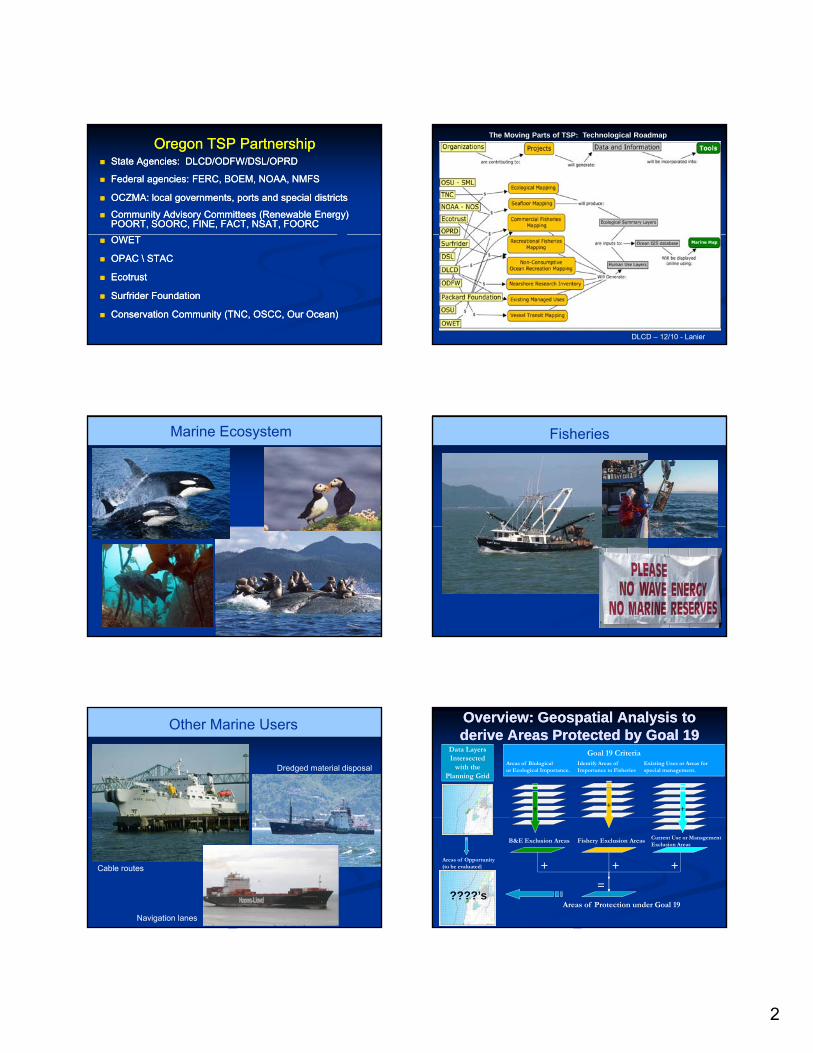
Oregon’sOregon’s
Territorial Sea PlanTerritorial Sea Planand and
Marine Spatial PlanningMarine Spatial Planning
Paul KlarinPaul KlarinDepartment of Land Conservation and DevelopmentDepartment of Land Conservation and Development
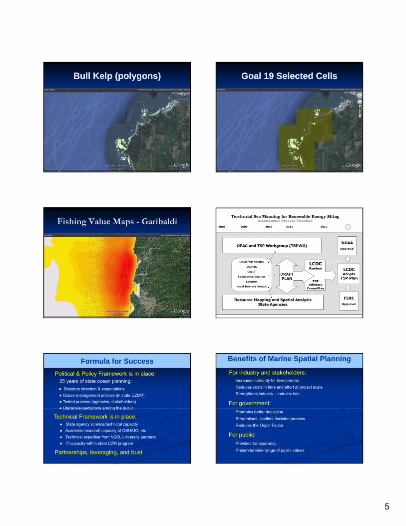
Formula for SuccessPolitical & Policy Framework is in place:
25 years of state ocean planning:● Statutory direction & expectations● Ocean management policies (in state CZMP)● Tested process (agencies, stakeholders)● Literacy/expectations among the public● Literacy/expectations among the public
● State agency science/technical capacity● Academic research capacity at OSU/UO, etc● Technical expertise from NGO, university partners● IT capacity within state CZM program
Technical Framework is in place:
Partnerships, leveraging, and trust
Benefits of Marine Spatial Planning
For industry and stakeholders:Increases certainty for investmentsReduces costs in time and effort at project scaleStrengthens industry – industry ties
For government:Promotes better decisionsStreamlines, clarifies decision processReduces the Oops! Factor
For public:Provides transparencyPreserves wide range of public values
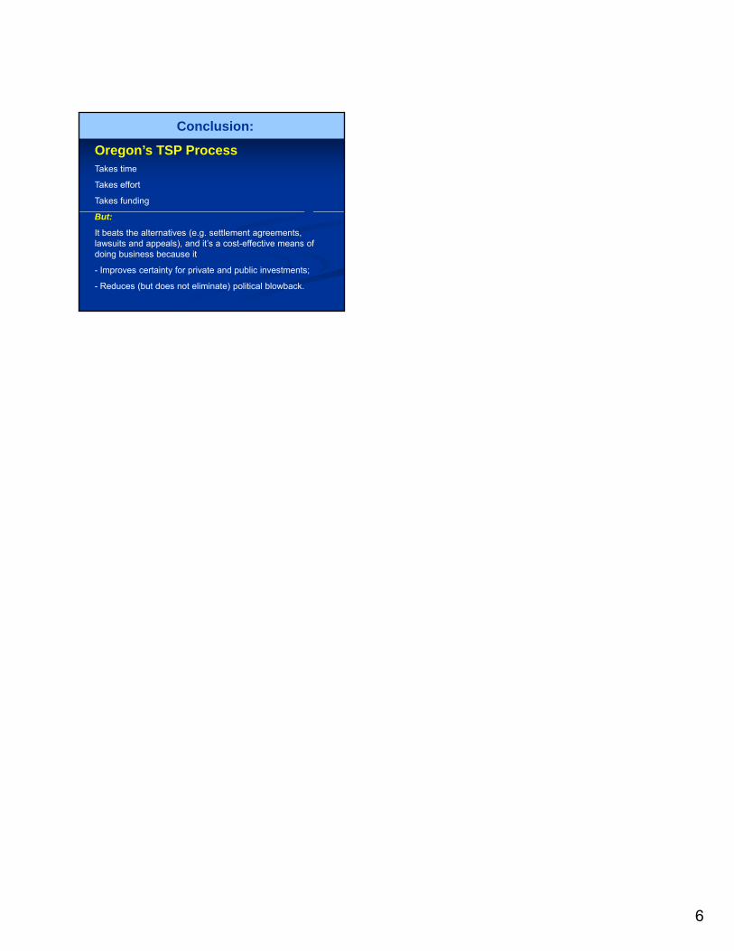
6
Conclusion:
Oregon’s TSP ProcessTakes time
Takes effort
Takes funding
But:
It beats the alternatives (e.g. settlement agreements, lawsuits and appeals), and it’s a cost-effective means of doing business because it
- Improves certainty for private and public investments;
- Reduces (but does not eliminate) political blowback.
10/25/2011
1
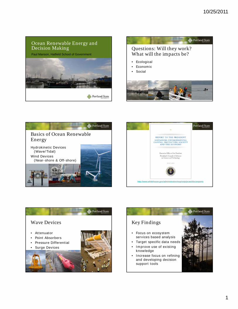
Ocean Renewable Energy and Decision MakingPaul Manson, Hatfield School of Government
Basics of Ocean Renewable EnergyHydrokinetic Devices
(Wave/Tidal)Wind Devices
(Near-shore & Off-shore)
Wave Devices
• Attenuator• Point Absorbers• Pressure Differential• Surge Devices
Questions: Will they work? What will the impacts be?• Ecological• Economic• Social
• Target specific data needs• Improve use of existing
knowledge• Increase focus on refining
and developing decision support tools
10/25/2011
2
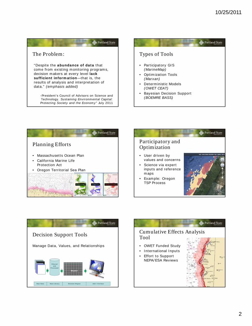
The Problem:
“Despite the abundance of data that come from existing monitoring programs, d i i k t l l l k decision makers at every level lack sufficient information—that is, the results of analysis and interpretation of data.” (emphasis added)
-President’s Council of Advisors on Science and Technology. Sustaining Environmental Capital: Protecting Society and the Economy” July 2011
Planning Efforts
• Massachusetts Ocean Plan• California Marine Life
Protection Act• Oregon Territorial Sea Plan
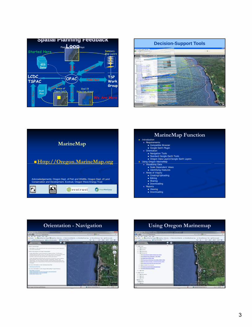
Decision Support Tools
Manage Data, Values, and Relationships
Filteredand
Processed
Raw Data Data Library Decision Engine
Model
User Interface
Types of Tools
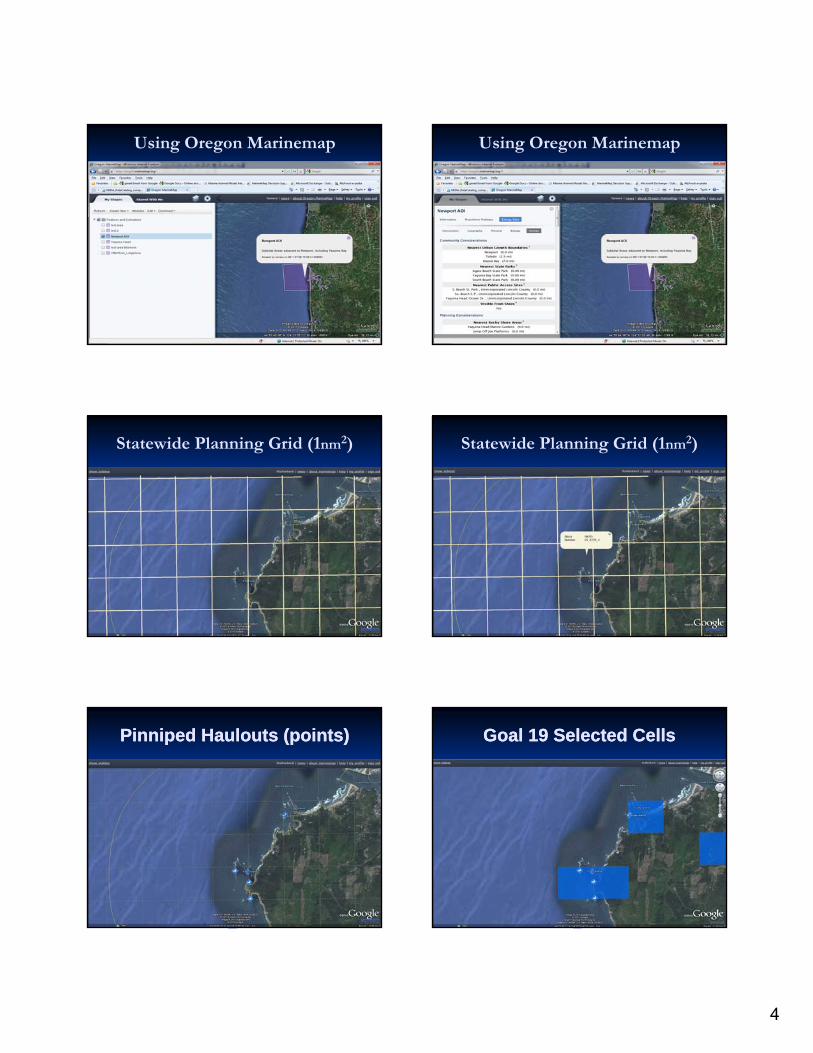
• Participatory GIS (MarineMap)
• Optimization Tools (Marxan)
• Deterministic Models (OWET CEAT)
• Bayesian Decision Support (BOEMRE BASS)
Participatory and Optimization• User driven by
values and concerns• Science via expert
inputs and reference maps
• Example: Oregon TSP Process
Cumulative Effects Analysis Tool• OWET Funded Study• International Inputs • Effort to Support
NEPA/ESA Reviews
10/25/2011
3
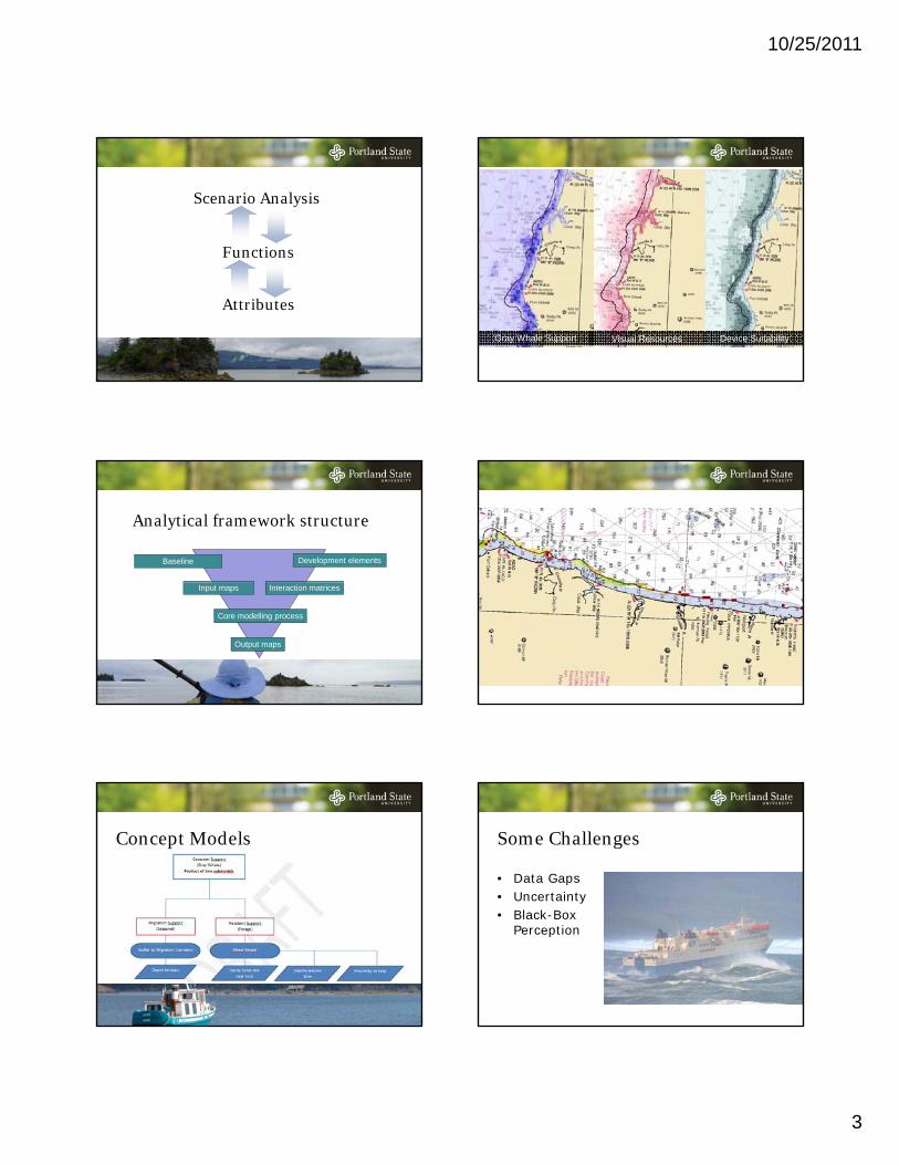
Functions
Scenario Analysis
Attributes
Analytical framework structure
Baseline Development elements
Output maps
Core modelling process
Input maps Interaction matrices
Function-Based Product Model
Concept Models
Function Mapping
Gray Whale Support Visual Resources Device Suitability
Some Challenges
• Data Gaps• Uncertainty• Black-Box
Perception
10/25/2011
4
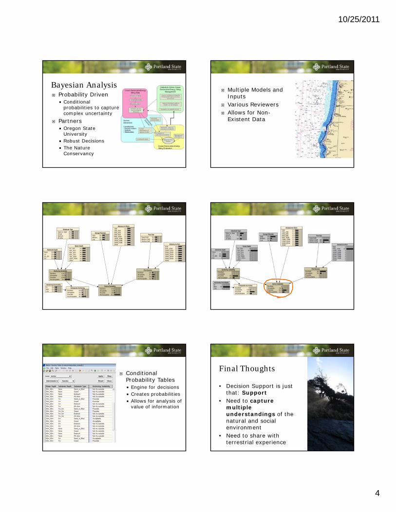
Bayesian AnalysisProbability Driven
Conditional probabilities to capture complex uncertaintycomplex uncertainty
PartnersOregon State UniversityRobust DecisionsThe Nature Conservancy
Substrate DepthNone1m1 5
25.025.025 0
Water Depth0m_30m30m_40m40m_50m50m_75m75 100
14.314.314.314.314 3
Port SizeDeep DraftMedium DraftShallow Draft
33.333.333.3
Distance to Port5NM5NM_10NM10NM_15NM15NM_20NM20NM_25NM
12.512.512.512.512.5
Energy PotentialHighMediumLow
33.333.333.3
Distance to Shore1NM1NM_3NM3NM_4NM4NM_5NM5NM_10NM10NM_15NM15NM_20NM20NM_25NM25NM