8
Octavia Boulevard in San Francisco, CA Photo: paulsupawanich via Flickr
| Date post: | 07-Aug-2015 |
| Category: |
Technology |
| Upload: | project-for-public-spaces |
| View: | 1,283 times |
| Download: | 0 times |

Octavia Boulevard in San Francisco, CA
Photo: paulsupawanich via Flickr

Slide: Google Maps
The project removed the freeway starting at Market Street.

Slide: San Francisco Chronicle
The Loma Prieta earthquake allowed residents and planners to envision the neighborhood without the freeway towering over Octavia Street.

Octavia Boulevard was designed to accommodate highway egress and ingress while providing a safe and comfortable environment for pedestrians and cyclists.

High-speed traffic is slowed as it enters onto Octavia, allowing it to safely and efficiently disperse into the road network.
Photo: Google Maps

Hayes Green is used to signal the transition from Octavia Blvd to the neighborhood street grid.
Photo: Google Maps
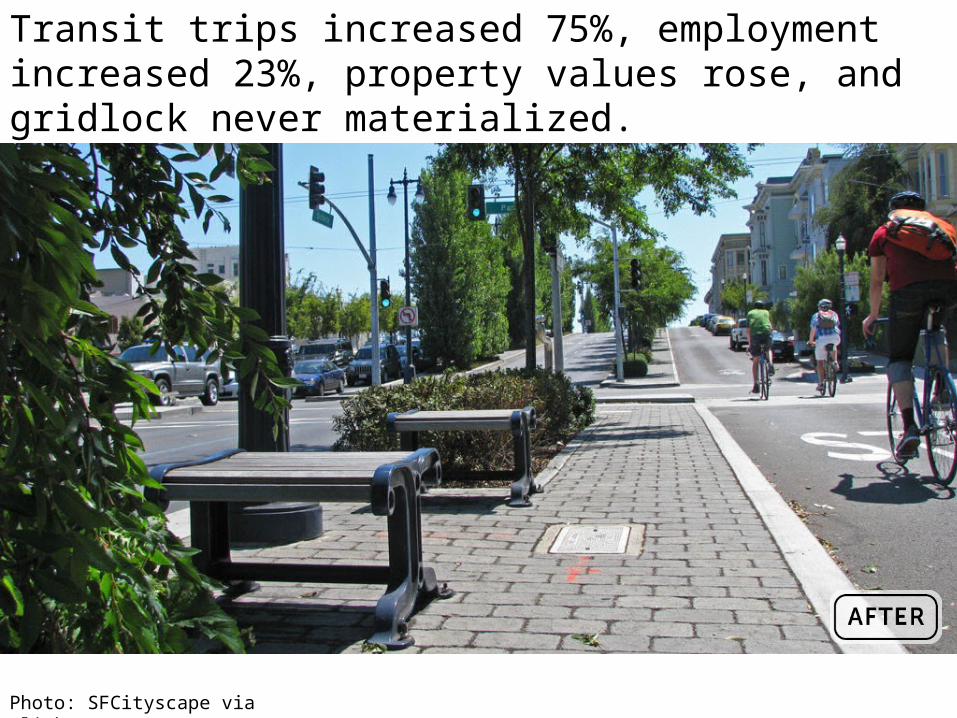
Transit trips increased 75%, employment increased 23%, property values rose, and gridlock never materialized.
Photo: SFCityscape via Flickr


