Social, Political, and Financial Issues of Connecting Geodata in and between Governmental Agencies Oh Myyy! Dr. Robert S. Chen Director and Senior Research Scientist CIESIN, The Earth Institute
Transcript
Social, Political, and Financial Issues of
Connecting Geodatain and between
Governmental AgenciesOh Myyy!
Dr. Robert S. ChenDirector and Senior Research ScientistCIESIN, The Earth Institute
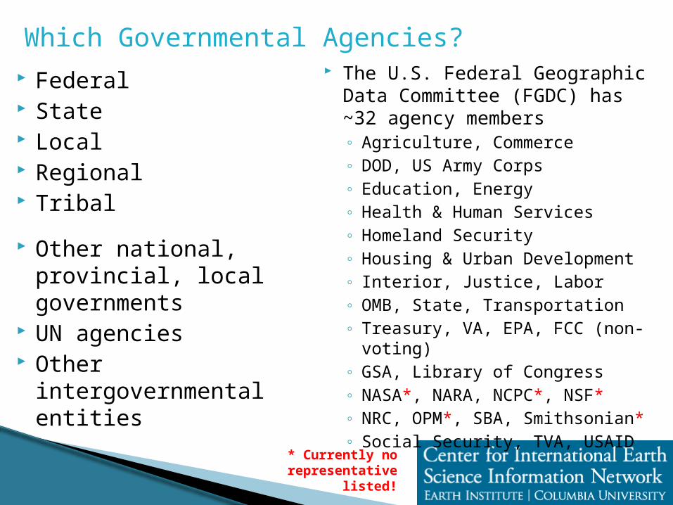
Which Governmental Agencies? Federal State Local Regional Tribal
Other national, provincial, local governments
UN agencies Other intergovernmental
entities
The U.S. Federal Geographic Data Committee (FGDC) has ~32 agency members◦ Agriculture, Commerce◦ DOD, US Army Corps◦ Education, Energy◦ Health & Human Services◦ Homeland Security◦ Housing & Urban Development◦ Interior, Justice, Labor◦ OMB, State, Transportation◦ Treasury, VA, EPA, FCC (non-voting)◦ GSA, Library of Congress◦ NASA*, NARA, NCPC*, NSF*◦ NRC, OPM*, SBA, Smithsonian*◦ Social Security, TVA, USAID
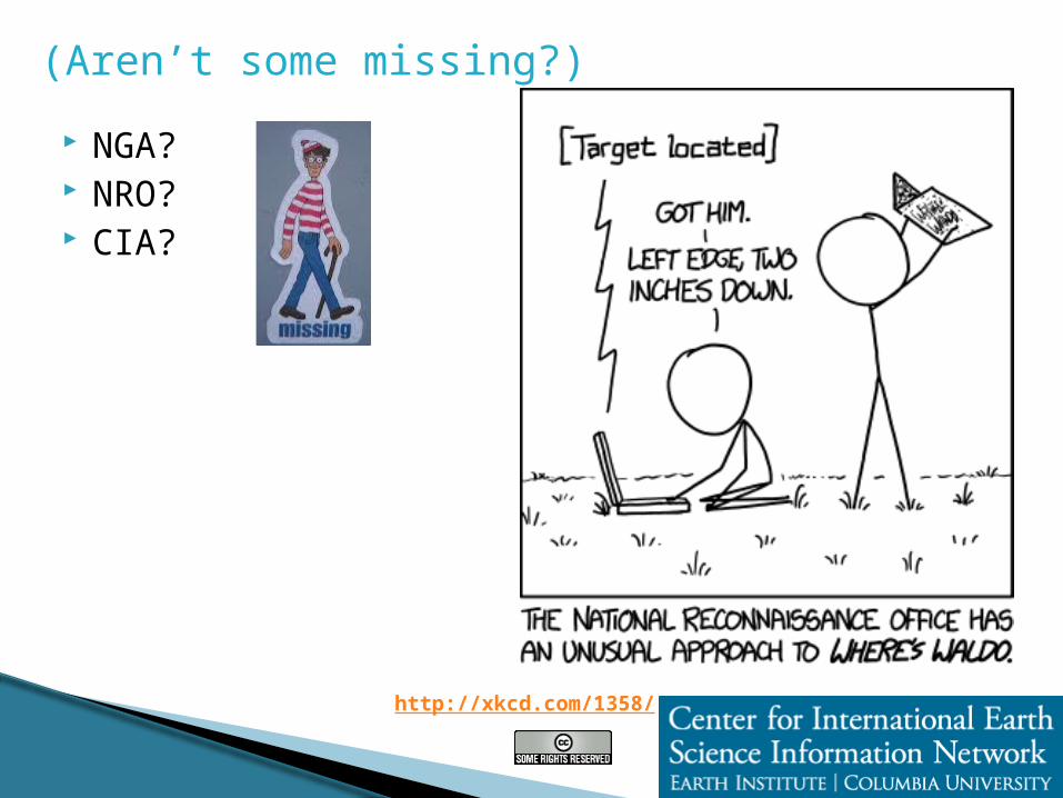
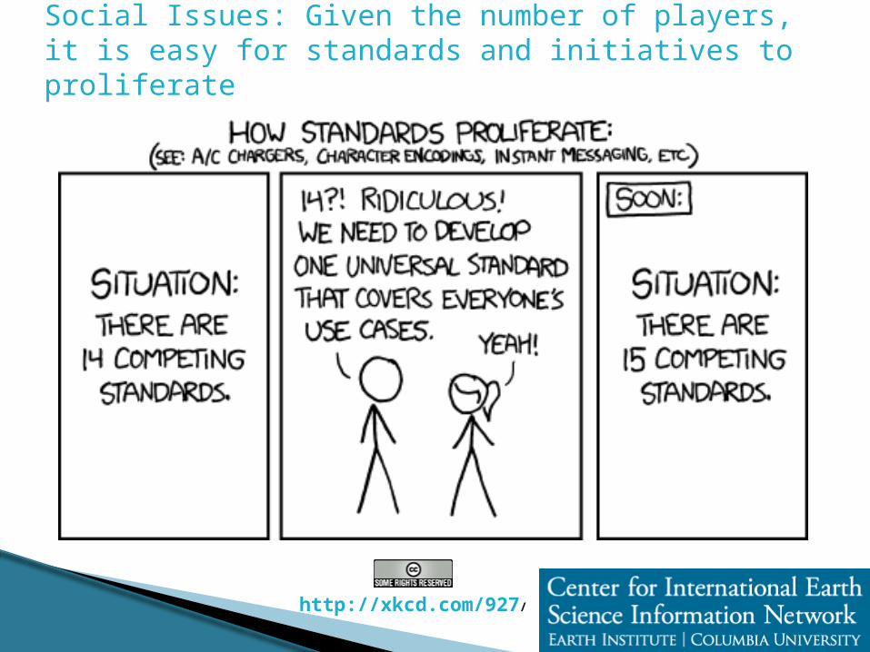
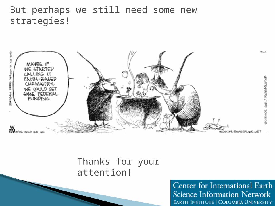
Social Issues: Given the number of players, it is easy for standards and initiatives to proliferate
http://xkcd.com/927/
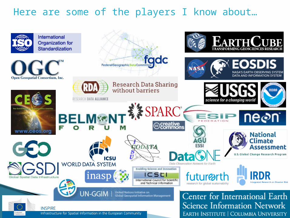
Here are some of the players I know about…
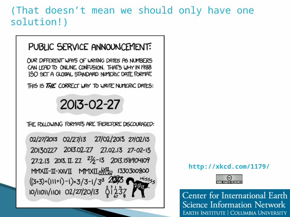
(That doesn’t mean we should only have one solution!)
http://xkcd.com/1179/
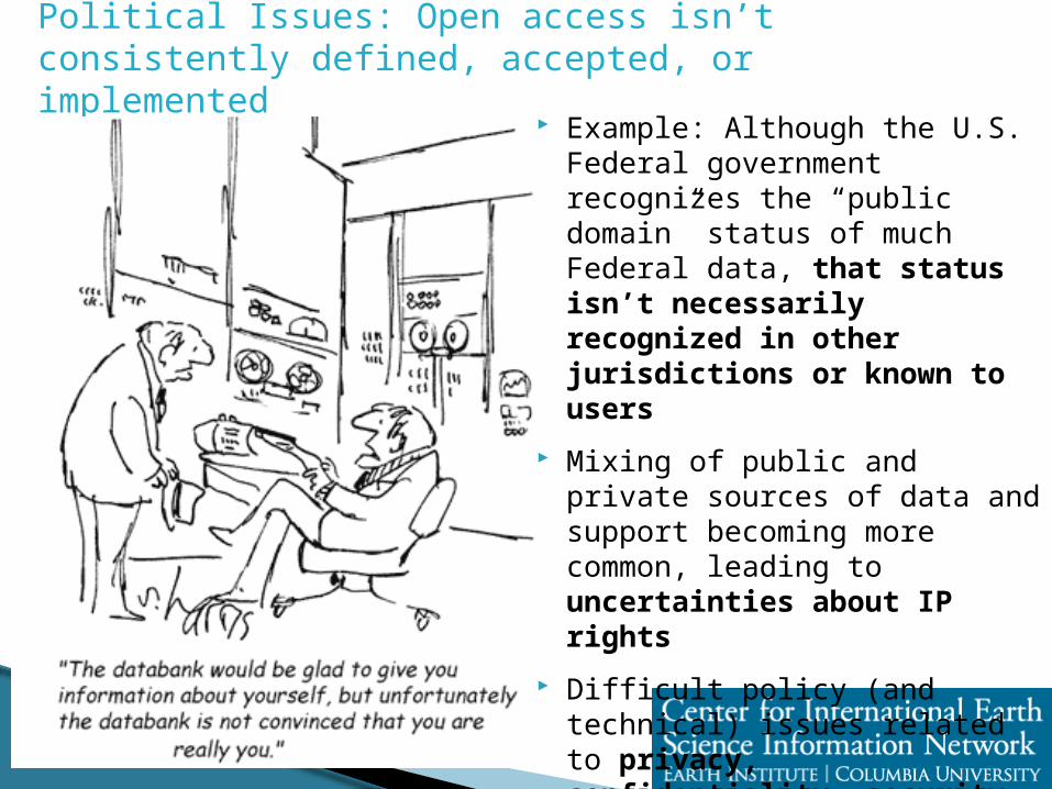
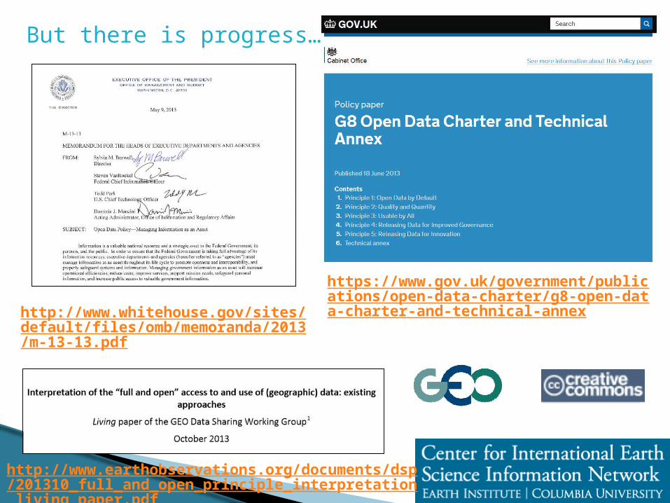
Political Issues: Open access isn’t consistently defined, accepted, or implemented
Example: Although the U.S. Federal government recognizes the “public domain” status of much Federal data, that status isn’t necessarily recognized in other jurisdictions or known to users
Mixing of public and private sources of data and support becoming more common, leading to uncertainties about IP rights
Difficult policy (and technical) issues related to privacy, confidentiality, security, indigenous rights, cultural heritage, ecological protection, long-term rights, etc.
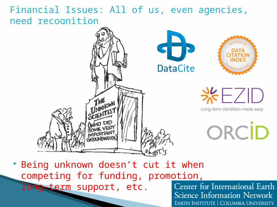
Being unknown doesn’t cut it when competing for funding, promotion, long-term support, etc.
Financial Issues: All of us, even agencies, need recognition
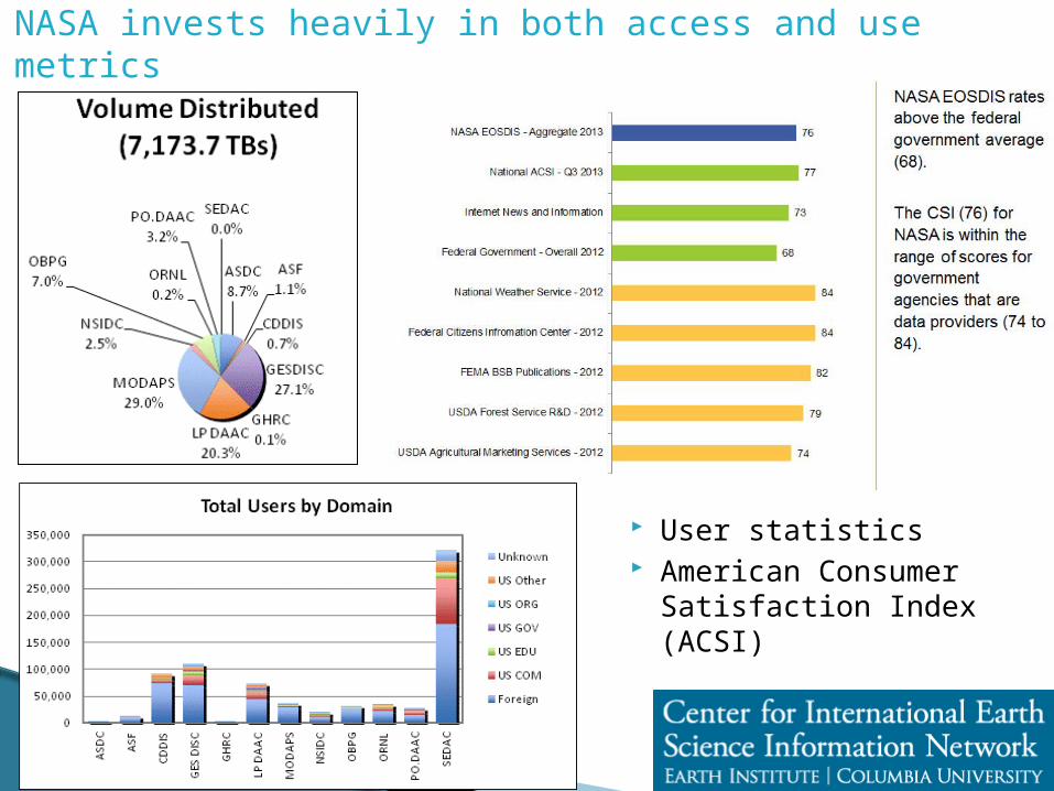
NASA invests heavily in both access and use metrics
User statistics American Consumer
Satisfaction Index (ACSI)
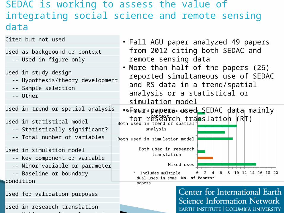
SEDAC is working to assess the value of integrating social science and remote sensing data
Cited but not used
Used as background or context -- Used in figure only
Used in study design -- Hypothesis/theory development -- Sample selection -- Other
Used in trend or spatial analysis
Used in statistical model -- Statistically significant? -- Total number of variables
Used in simulation model -- Key component or variable -- Minor variable or parameter -- Baseline or boundary condition
Used for validation purposes
Used in research translation -- Making results relevant to policy -- Enabling use in applications -- Cited in conclusion/discussion
Both used as background or context
Both used in study design
Both used in trend or spatial analysis
Both used in statistical model
Both used in simulation model
Both used for validation purposes
Both used in research translation
SEDAC data used in research translation
Mixed uses
0 2 4 6 8 10 12 14 16 18 20
No. of Papers*
* Includes multiple dual uses in some papers
• Fall AGU paper analyzed 49 papers from 2012 citing both SEDAC and remote sensing data
• More than half of the papers (26) reported simultaneous use of SEDAC and RS data in a trend/spatial analysis or a statistical or simulation model
• Four papers used SEDAC data mainly for research translation (RT)
The U.S. National Climate Assessment provides a problem-focused interagency framework for linking geodata
The NCADAC recommends that the U.S. Global Change Research Program develop and implement a system of indicators to provide decision-relevant information on physical, natural, and social climate changes, impacts, vulnerabilities, and preparedness and to contribute to a sustained assessment process. NCADAC adopts the proposal developed by the Indicator Work Group, which includes recommendations for the implementation of a pilot set of indicators as the first steptowards a sustained indicator system.
Figure 1. Conceptual Model for the National Climate Indicator System.