22
Open source WMS as an alternative Nordic Forum for Geostatistics 2007 Friday 21 September 9.55 - 10.25 Johan Stålnacke, Statistics Sweden
Open source WMS as analternativeNordic Forum for Geostatistics 2007
Friday 21 September
9.55 - 10.25
Johan Stålnacke, Statistics Sweden

Agenda
• Introduction (Planning portal, MapServer,WMS)
• Installation
• Creating applications
• Performance
• Conclusion
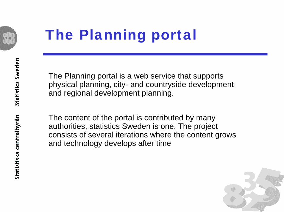
The Planning portal
The Planning portal is a web service that supportsphysical planning, city- and countryside developmentand regional development planning.
The content of the portal is contributed by manyauthorities, statistics Sweden is one. The projectconsists of several iterations where the content growsand technology develops after time

What is Open source?
Open source refers to a program in which thesource code is available to the general public foruse and/or modification from its original design freeof charge, i.e., open.
Open source code is typically created as acollaborative effort in which programmers improveupon the code and share the changes within thecommunity.
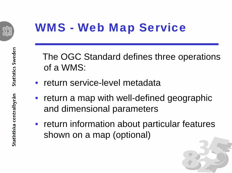
WMS - Web Map Service
The OGC Standard defines three operationsof a WMS:
• return service-level metadata
• return a map with well-defined geographicand dimensional parameters
• return information about particular featuresshown on a map (optional)

Workflow
The workflow setting up the WMS has been thefollowing:
• Finding an Open Source solution that matches ourneeds
• Setting up Mapserver locally with demo data.
• Setting up Mapserver locally with StatisticsSweden’s data.
• Publish Mapserver as a WMS on internet.
• (Compare with other softwares)
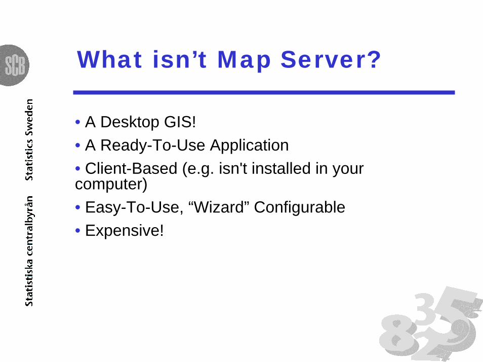
What isn’t Map Server?
• A Desktop GIS!• A Ready-To-Use Application• Client-Based (e.g. isn't installed in yourcomputer)• Easy-To-Use, “Wizard” Configurable• Expensive!
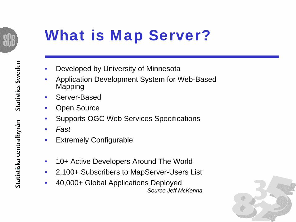
What is Map Server?
• Developed by University of Minnesota• Application Development System for Web-Based
Mapping• Server-Based• Open Source• Supports OGC Web Services Specifications• Fast• Extremely Configurable
• 10+ Active Developers Around The World• 2,100+ Subscribers to MapServer-Users List• 40,000+ Global Applications Deployed
Source Jeff McKenna

Installing Map Server
• Source Code / Install package
• Apache web server
• Demo application

Features
• Advanced cartographic output– Scale dependent feature drawing and application execution– Feature labeling including label collision mediation– Fully customizable, template driven output– TrueType fonts– Map element automation (scalebar, reference map, and legend)– Thematic mapping using logical- or regular expression-based classes
• Support for popular scripting and development environments• PHP, Python, Perl, Ruby, Java, and C#• Cross-platform support
– Linux, Windows, Mac OS X, Solaris, and more• A multitude of raster and vector data formats
– TIFF/GeoTIFF, EPPL7, and many others via GDAL– ESRI shapfiles, PostGIS, ESRI ArcSDE, Oracle Spatial, MySQL and many others via OGR– Open Geospatial Consortium (OGC) web specifications
• WMS (client/server), non-transactional WFS (client/server), WMC, WCS, Filter Encoding, SLD, GML, SOS
• Map projection support– On-the-fly map projection with 1000s of projections through the Proj.4 library

Creating Applications
• Mapfile
• HTML-Templates
• Data
• WMS - configure Mapfile
- client dependent param
client
internet
MapServer
config files templates data
web application

Web browser interface

Web browser interface

Web browser interface

Web interface

WMS - interface

Performance
Study for British Columbia’s Ministry ofSustainable Resource Management
•Use mostly ESRI products in theirmapping infrastructure.
•Were frustrated with ArcIMS’sadministrative neediness.
•Were looking for WMS alternatives toArcIMS.
Source: Brock Anderson, Refractions Researchwww.refractions.net
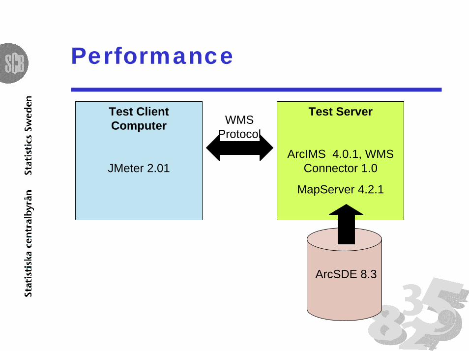
Performance
Test ClientComputer
JMeter 2.01
WMSProtocol
Test Server
ArcIMS 4.0.1, WMSConnector 1.0
MapServer 4.2.1
ArcSDE 8.3

Performance
Study for British Columbia’s Ministry ofSustainable Resource Management
•MapServer is easier to administer thanArcIMS.
•MapServer is more WMS standardcompliant than ArcIMS.
•MapServer matches or surpasses ArcIMSin most performance tests.
Source: Brock Anderson, Refractions Researchwww.refractions.net

Difficulties
• Knowledge gathering
• Support
• Client specific parmeters

Coming attractions
• Performance improvents – Install theapplication on a faster webserver. Work morewith formats, indexing, tiling, mm
• Comparison – Install our application in othersoftware(s) and compare: performance,flexibility and administrative possibilities.
• The Planning portal - deliver content.
Conclusion
Is Open Source really an alernative ?
• Demanding
• Rewarding
• It is free and it works!
• Up to this point: yes!


