2

Alum Rock
No dogs on open space preserve
For emergencies call 911
Go Paperless! Download a PDFof this trail map from our website:
To contact the Open Space Authority,call (408)224-7476 or visit our website.
Two-lane Road
Multi-use Trail
Elevation Contours(50 foot interval)
Creeks
Dual-use Trail
One-Way TrailDirection
Parking
Picnic Area
InterpretiveOverlook
Sierra Vista Open Space Preserve
Alum Rock Park
Historic RanchHouse
Pedestrian Bridge
Dual-use Trail
Multi-use Trail
Penitencia Creek Rd.
Sierra Road
Sierra Road
0.25 mi
1.6 mi
0.12 mi
0.5 mi
1.1 mi
0.25 mi 0.8 mi
1.2 mi
0.8 mi
0.9 mi
0.15 mi
0.4 mi
0.7 mi
2.6 mi
Private Property
Private Property
Private Property
Private Property
Upper
Pen
itenc
ia C
reek
Arroyo Aguague Creek
Sierra Vista Trail
CutoffTrail
Lower CalaverasFault Trail
BoccardoLoop Trail
Lower CalaverasFault Trail
AquilaLoop Trail
KestrelTrail
Upper CalaverasFault Trail
Upper CalaverasFault Trail
SierraVista Trail
1600
1400
1200
12001000
800
14001600
1600
1800
2000
1800
1600
No Parking Along
Roa
d
No Parking Along Road
Visitors must travel one way along the Aquila Loop Trail.
0 0.5 1
Miles openspaceauthority.org
No Parking Al
ong
Road
ABOUT THE OPEN SPACE AUTHORITYSince 1993, the Open Space Authority has protected over 28,000 acres of open space, natural areas, watersheds and wildlife habitat—providing outdoor recreation opportunities and preserving the natural beauty and environmental health of Santa Clara Valley. Please visit our open space preserves, which are open 7 days a week, 365 days of the year.
RECOMMENDED HIKES Aquila Loop TrailLevel: Easy
Distance: 1.2 miles
Description: This mellow hike is perfect for beginnersand families with young children. Enjoy expansiveviews of northern Santa Clara County and AlamedaCounty as you stroll through grasslands and rockoutcroppings (that once were part of the ocean floor).Stop at one of two benches along the way to take inthe views and relax, and keep your eyes peeled forlocal wildlife, such as red-tailed hawks, bobcats, andacorn woodpeckers.
Upper Calaveras Fault TrailLevel: Moderate
Distance: 4.5 miles
Description: This moderate hike for more experiencedhikers takes the Kestrel Trail to the Sierra Vista Trailnorth-east, then along the Upper Calaveras FaultTrail with its great views of Alum Rock Canyon, AlumRock Park and, on a clear day, the Diablo Range.Hike through grasslands, chaparral, and mixed oakwoodland habitats, then reconnect with the SierraVista Trail overlooking the canyon bottom severalhundred feet below.
Lower Calaveras Fault Trail to Vista PointLevel: Challenging
Distance: 8.4 miles (round-trip)
Description: This is a challenging hike for theexperienced and dedicated hiker—but a worthwhileone for the stunning views and sense of solitude tobe found. Take the Kestrel Trail to the Sierra Vista Trailnorth-east, then south to the Lower Calaveras FaultTrail with its great views of Alum Rock Canyon andAlum Rock Park. Past the Historic Ranch House andPenitencia Creek, there is a rapid elevation gain alongthe Lower Calaveras Fault Trail, through gray pinehabitat, and dramatic views of Alum Rock Canyon. TheVista Point offers panoramic views of southern SantaClara County.
DIRECTIONSSierra Vista Open Space Preserve• From I-680, exit east on Berryessa Road.• Left on Piedmont Road.• Right on Sierra Road.• Free public parking area and equestrian parking will
be on the right.
TRAIL RULES & SAFETY• Hours are from 7:00 a.m. to 6:30 p.m.
• Mountain biking, hiking, and horseback riding arepermitted only on designated trails.
• Pets are not permitted in the preserve at any time.
• Fires, fireworks, and smoking are strictly prohibited.
• Do not feed, disturb, molest, or kill wildlife. Huntingand trapping are not allowed.
• Do not collect, remove, destroy, or deface any naturalor human-made object.
• No water is available at trailheads, at the parking lot,or along the trails.
• If you see grazing cattle on the trail, give them a fewminutes to move. Don’t chase or harass them, they willmove on their own.
BE PREPAREDFor maximum comfort, dress in layers for a range of weather conditions and always carry water. Pack snacks or lunch, especially if you’re hiking with children. Bring a hat, sunblock, and a simple first aid kit. Horseback riders and cyclists should also plan for the care and maintenance of their transportation.
Finally, be aware of your fitness level and abilities, especially when venturing out alone or on an especially challenging hike or ride.
Learn more about the Open Space Authority at
openspaceauthority.org
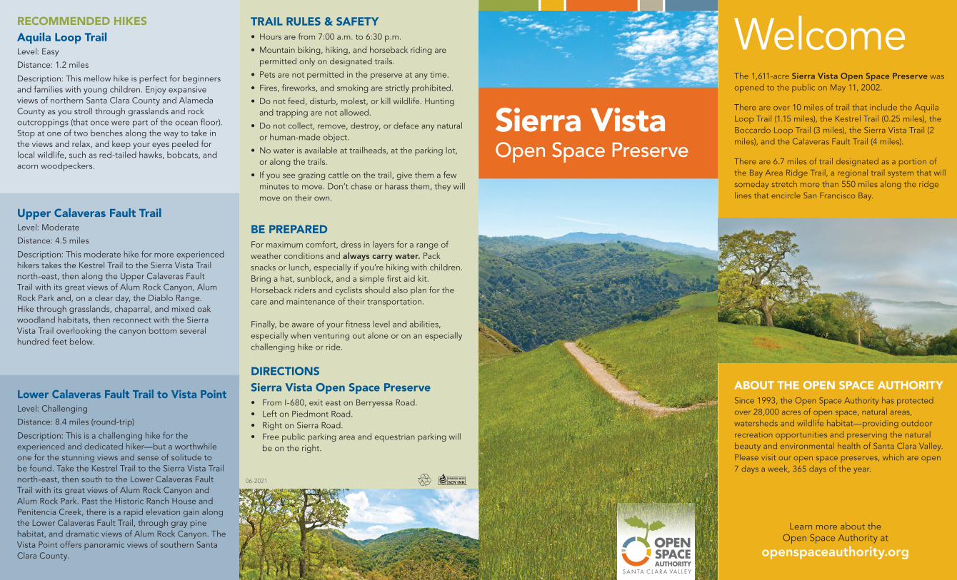
WelcomeThe 1,611-acre Sierra Vista Open Space Preserve was opened to the public on May 11, 2002.
There are over 10 miles of trail that include the Aquila Loop Trail (1.15 miles), the Kestrel Trail (0.25 miles), the Boccardo Loop Trail (3 miles), the Sierra Vista Trail (2 miles), and the Calaveras Fault Trail (4 miles).
There are 6.7 miles of trail designated as a portion of the Bay Area Ridge Trail, a regional trail system that will someday stretch more than 550 miles along the ridge lines that encircle San Francisco Bay.
Sierra VistaOpen Space Preserve
06-2021


