+ All Categories
Home > Government & Nonprofit > Openstreetmap and its value during emergencies

Openstreetmap and its value during emergencies

Date post: 14-Jul-2015
Category:
Upload: ervin-malicdem
View: 44 times
Download: 0 times
Share this document with a friend
Popular Tags:
54
OpenStreetMap and its Value During Emergencies Forum on Improved Analytics of Social Media during Emergencies United Nations Office for the Coordination of Humanitarian Affairs December 10, 2014
Transcript

OpenStreetMap and its Value During Emergencies

Forum on Improved Analytics of Social Media during Emergencies

United Nations Office for the Coordination of Humanitarian Affairs

December 10, 2014

Relevance of a map in emergencies

• Assessment

• Planning

• Directions

• Logistics

• Response

What is OpenStreetMap

• Crowd sourced

• Open source

• Forever Free

• Realtime updates

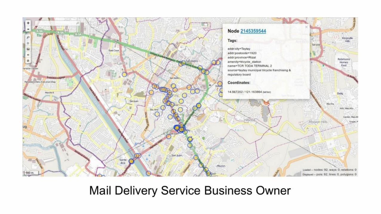
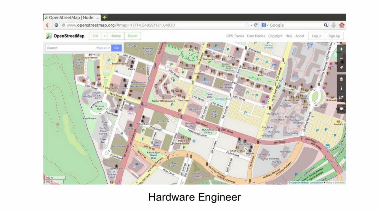
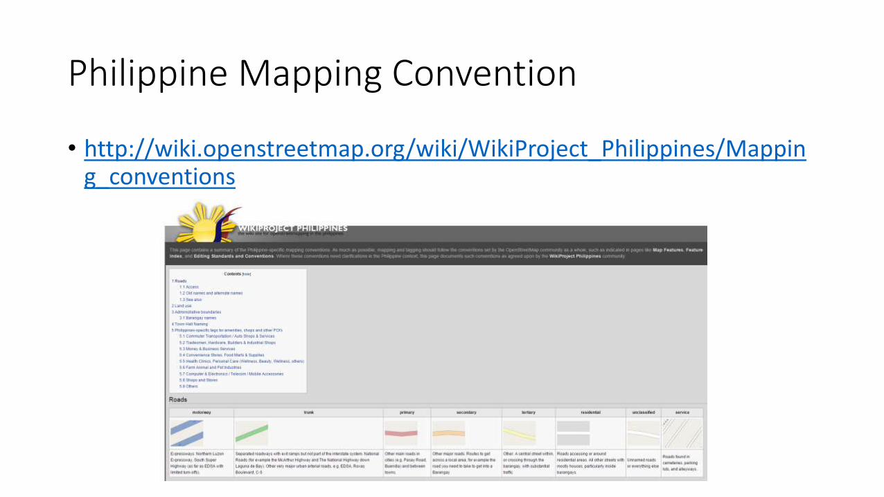
Openstreetmap in the Philippines

• Over 1000 contributors nationwide

• About 30 regular contributors nationwide

• Contributors came from various professions with a goal of helping his countrymen through mapping data.

• With these contributors, Philippine data has tremendously increased over a span of a few years.

Openstreetmap Philippines Contributors

http://resultmaps.neis-one.org/oooc?zoom=6&lat=12.17029&lon=123.04829&layers=00BFFFFFTT

Latest update of contributors over the last 6 months based in the Philippines.

Concentration of Philippine Mapping Data on OpenStreetMapAs of January 2013

Mountaineer

Travel Blogger

Heritage Mappers

Mambajao, Camiguinhttp://tools.geofabrik.de/mc

Rosario, Batangashttp://tools.geofabrik.de/mc

Itbayat, Bataneshttp://tools.geofabrik.de/mc

Apo-Talomo Range, Kidapawanhttp://tools.geofabrik.de/mc

Apo Reef, Occidental Mindorohttp://tools.geofabrik.de/mc

Tacloban, Leytehttp://tools.geofabrik.de/mc

How do you map in OSM?• Arm-chair mapping using satellite/UAV imagery trace

• Field-mapping using GPS tracks

http://www.s1expeditions.com/2014/11/166-secondyear.html

How does Openstreetmap Work?

Harry Wood, http://www.slideshare.net/harrywood/openstreetmap-opentech-2011

Editors

• iD• Beginner, built-in OSM online editor

• Potlatch• Intermediate, online editor. Previously the default editor

• Merkaator• Advanced offline editor

• JOSM• Advanced offline editor. Commonly used by senior mappers.

JOSM Interfacehttp://www.s1expeditions.com/2013/11/110-yolanda-mapping-advocacy.html

Philippine Mapping Convention

• http://wiki.openstreetmap.org/wiki/WikiProject_Philippines/Mapping_conventions

Raw Data

Standard Mapnik Cyclemap

Transport Humanitarian

OSM Extracts and ConversionsUnlimited possibilities with free open sourced and crowd sourced data.

OSMAnd Maps.MeOSM-PH Garmin GPS

Compiled via Schadow1 Expeditions

GPS-Assisted Navigation Applications and Devices

Japan (2009)NASA (2000)

+

Sibuyan Island

+ =

SRTM+ASTER GDEM Contour OSM-PH Data GPS Map Export GPS-Assisted Navigation Map

http://www.s1expeditions.com/2014/03/143-new-elevation-contour-map-of-the-philippines.html

https://github.com/schadow1/osmphgps

Androidhttp://wiki.openstreetmap.org/wiki/Android

iOShttp://wiki.openstreetmap.org/wiki/Apple_iOS

Windows Mobilehttp://wiki.openstreetmap.org/wiki/Windows_Mobile

Garmin GPShttp://wiki.openstreetmap.org/wiki/OSM_Map_On_Garmin/Download

Philippineshttp://www.s1expeditions.com/p/openstreetmaps.html

How Openstreetmap can be used effectively in EmergenciesUse it as a basemap or exploit its data through data exports.

#mapPHL

From a single call a day before Haiyan’s landfall in Guiuian, Samar

http://tasks.hotosm.org/job/338

Satellite Imagery

http://www.s1expeditions.com/2013/11/111-mapsatwork-haiyan.html

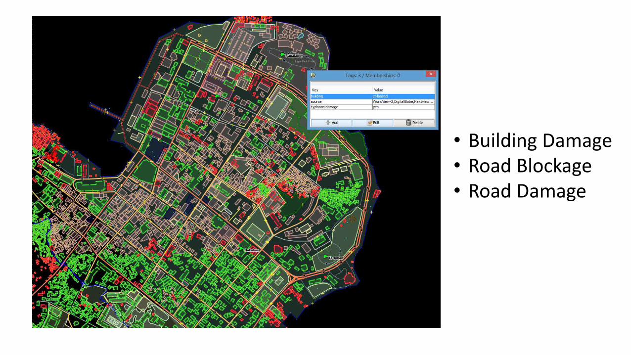
Over 4.7 Million Map changes by 1679 volunteers in just 2 months after Typhoon Haiyan Landfall

The amount of mapping data along the path of Typhoon Haiyan has tremendously improved in a span of a week giving humanitarian organizations a recently updated and street-level accurate map to guide them on their humanitarian work.

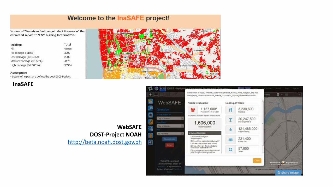
• Building Damage• Road Blockage• Road Damage

Using OSM Data for navigation guidance during humanitarian missionshttp://www.s1expeditions.com/2013/11/113-osmforhumanitarianmissions.html

http://americanredcross.github.io/presentations/SOTMUS_2014/

How Openstreetmap is currently used in the Philippines for Disaster Resiliency

Department of Social Welfare and DevelopmentDisaster Maphttp://disaster.dswd.gov.ph/maps.php

InaSAFE

WebSAFEDOST-Project NOAH

http://beta.noah.dost.gov.ph

OpenStreetMap Philippineshttp://www.openstreetmap.org.phhttps://www.facebook.com/OSMPHhttps://lists.openstreetmap.org/listinfo/talk-ph

OpenStreetMaphttp://www.openstreetmap.org

LearnOSMhttp://www.learnosm.org

Ervin MalicdemPhilippine Travel and Mapping Advocate,

Schadow1 ExpeditionsOSM-PH Volunteer

[email protected]

A Filipino must not be a stranger to his own motherland.


Recommended