3
Pax Romana: The Roman Empire in the Second Century CE

Pax Romana: The Roman Empire in the Second Century CE

Pax Romana: The Roman Empire in the Second Century CE
Use the labels below to match with the speci�c areas of the map provided on the previous page.
General Labels
Cities and Bases
1. Alexandria 2. Ancyra 3. Antiochia 4. Aquileia 5. Augusta Treverorum 6. Brundisium 7. Burdigala 8. Byzantium 9. Caesarea 10. Carnuntum 11. Carthage 12. Colonia Agrippina 13. Corduba 14. Corinth 15. Cyrene 16. Damascus 17. Gades 18. Gesoriacum 19. Istrus 20. Londinium 21. Lugdunum 22. Massilia 23. Misenum 24. Narbo 25. Ravenna 26. Rome 27. Sirmium 28. Tarraco 29. Trapezus
Defenses and Forti�cations
1. Antonine Wall 2. Fossatum Africae (ramparts, ditch, and possibly wall) 3. Hadrian’s Wall 4. Lime’s (forti�ed line)
Countries
1. ARMENIA 2. ASSYRIA 3. MESOPOTAMIA 4. PARTHIAN/SASANIAN EMPIRE
Geographical Features
1. CRETE 2. CYPRUS 3. RHODES
Regions
1. AEGYPTUS 2. BRITTANIA 3. GALLIA 4. GERMANIA 5. HISPANIA 6. ITALIA 7. SYRIA
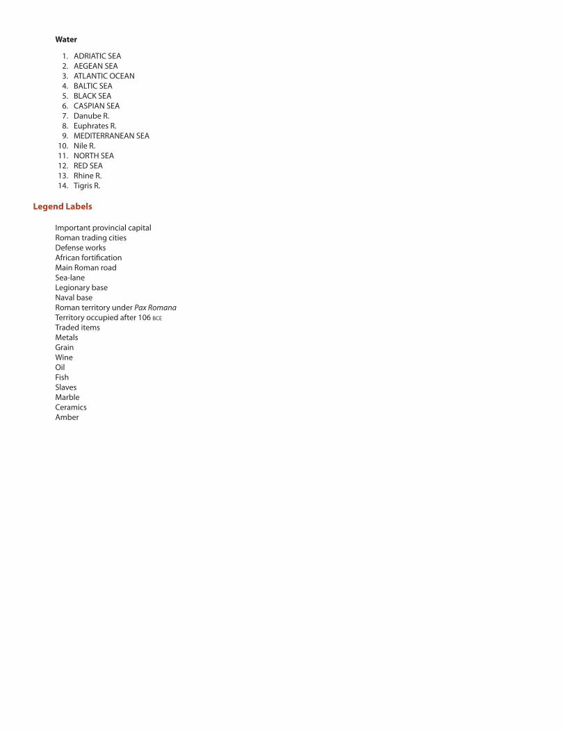
Water
1. ADRIATIC SEA 2. AEGEAN SEA 3. ATLANTIC OCEAN 4. BALTIC SEA 5. BLACK SEA 6. CASPIAN SEA 7. Danube R. 8. Euphrates R. 9. MEDITERRANEAN SEA 10. Nile R. 11. NORTH SEA 12. RED SEA 13. Rhine R. 14. Tigris R.
Legend Labels
Important provincial capital Roman trading cities Defense works African forti�cation Main Roman road Sea-lane Legionary base Naval base Roman territory under Pax Romana Territory occupied after 106 BCE
Traded items Metals Grain Wine Oil Fish Slaves Marble Ceramics Amber


