FORM 3 www.epa.govt.nz Permitted activities: Initial environmental assessment and sensitive environments contingency plan Form 3 of Schedule 5 of the Exclusive Economic Zone and Continental Shelf (Environmental Effects – Permitted Activities) Regulations 2013 How to use this form: This form must be completed by organisations planning to carry out marine scientific research, prospecting or exploration in accordance with regulation 5 of the Exclusive Economic Zone and Continental Shelf (Environmental Effects – Permitted Activities) Regulations 2013 (PA Regulations 2013). This form fulfils the initial environmental assessment and contingency plan requirements of Schedule 2 of the PA Regulations 2013. Timeframe: You must provide this form to the Environmental Protection Authority (EPA) at least 5 working days before starting the activity. Note: Items marked in italics are not compulsory; however, including this information will help the EPA process the form. This completed form, once received and processed by EPA, will be posted on the EPA website. Submitting in hard copy: If you wish to provide the completed form in hard copy, post it to Environmental Protection Authority, Private Bag 63002, Wellington 6140. Submitting electronically: If you wish to provide the completed form electronically, email it to [email protected]. Any form submitted electronically should be attached to an email that sets out: the details of the person undertaking the permitted activity (the operator) the name of the person supplying the completed form a statement that the person is authorised to supply the form on behalf of the operator. Note: The EPA has an 8 MB limit on electronic files submitted by email. You can find and download all forms prescribed by the PA Regulations 2013, as well as suggested templates for providing other information, on our website at www.epa.govt.nz or request them from us by contacting: Environmental Protection Authority, Private Bag 63002, Wellington 6140 Email [email protected]Phone +64 4 916 2426 Fax +64 4 914 0433
Transcript
FORM 3
www.epa.govt.nz
Permitted activities: Initial environmental assessment and sensitive environments contingency plan Form 3 of Schedule 5 of the Exclusive Economic Zone and Continental Shelf (Environmental
Effects – Permitted Activities) Regulations 2013
How to use this form: This form must be completed by organisations planning to carry out marine scientific
research, prospecting or exploration in accordance with regulation 5 of the Exclusive Economic Zone and
Form 3 –Permitted Activities Initial environmental assessment and sensitive environments contingency plan
September 2015 EPA0370
Operation name:
Remotely Operated Vehicle (ROV) deployment at the Hikurangi subduction zone
Activity code:
GNSPA11
Details of the person undertaking the permitted activity
Name of company,
organisation or person: GNS Science
Contact person:
Phone number:
Mobile number: Fax number:
Physical address: Postcode: 5010
Postal address (if different): Postcode: 5040
Email address:
General description of the permitted activity
Type of activity:
Marine scientific research ☒ Alteration, extension or removal of a permitted marine
structure
☐
Prospecting ☐ Discharge of sediments from iron sand prospecting and
exploration
☐
Exploration ☐ Incidental discharge of sediments from phosphate nodule or
placer gold prospecting and exploration
☐
Placement or removal of
submarine cables
☐ Discharge of sediments from seafloor massive sulphide
prospecting and exploration
☐
3
Form 3 –Permitted Activities Initial environmental assessment and sensitive environments contingency plan
September 2015 EPA0370
Describe methods to be
used to undertake the
activity:
We will be utilizing an underwater Remotely Operated Vehicle (ROV), which is attached to the ship via an armoured umbilical. The vehicle’s navigation beneath the sea surface is controlled remotely from an operations centre on the ship. Communications and data flow between the ship and ROV occurs via the umbilical. We will be utilizing the ROV, “ROPOS” (https://www.ropos.com/index.php/ropos-rov). ROPOS (Figure 1) is operated by the Canadian Scientific Submersible Facility (CSSF) and has been widely used over the last two decades for marine scientific research work around the globe, including off New Zealand previously. We will be deploying the ROV offshore the North Island’s east coast (>12 nm from shore) to (1) Recover seafloor instruments that were deployed during the last two years to investigate changes during “slow motion earthquakes” on the Hikurangi subduction zone; (2) to service and download data from 2 subseafloor observatories that were installed as part of an International Ocean Discovery Program (IODP) scientific drilling expedition in 2018 to monitor slow motion earthquakes offshore Gisborne; and (3) to acquire a small number of sediment and biological samples if time allows. The planned activity will take place in the study area within the yellow polygon in the Map shown in the “Location of Permitted Activity” section. The locations of the planned dive sites (where we have existing seafloor instruments) are listed in Table 1. Additional sites, within the study area (all beyond 12 nm of the coast), may be investigated if time permits. For the seafloor instrument recovery operations, ROPOS will be navigated to the instrument deployment location, which is precisely known for each instrument. When it arrives on site, it will land on the seafloor, and then use its manipulator arms to pick up and lift the instruments into a basket mounted on ROPOS. Most of the instruments that we will be retrieving are 16 seafloor flowmeters (Figure 2, Table 1) that were deployed at water depths ranging from 179-3,388 metres below sea level in early 2019 using another ROV (JASON) on the United States’ R/V Roger Revelle. We will also search for, and if found, recover five geophysical instruments (Figure 3; Table 1) that were unresponsive (in water depths ranging from 787 m to 3500 m) when we attempted to retrieve them using acoustic releases activated from the sea surface last year.
Form 3 –Permitted Activities Initial environmental assessment and sensitive environments contingency plan
September 2015 EPA0370
For the seafloor observatory servicing (and two other nearby seafloor pressure sensor units; Table 1), we will undertake checks on the observatory, and we will plug the ROV into the observatory data logger (using a wet-mate connector) to download the data that has been recorded over the last two years.
When we are on site to recover the seafloor instruments, we plan to acquire small sediment cores in several locations, using a corer pushed a few tens of centimetres into the sediment by the ROV manipulator arm. The corer is 7 cm in diameter, and 40 cm long. We also plan to directly collect a small number of biological samples at the dive sites if time allows. These latter biological samples will be of individual specimens, and may include shrimps, snails, crabs, clams, mussels, and sea stars. When the instrument and observatory sites are close enough to each other (generally <10 km), ROPOS will transit in the mid-water column, tethered to R/V Tangaroa, at a speed of 1-1.5 knots. When sites are more distant from each other, we will bring ROPOS back on board R/V Tangaroa, and redeploy ROPOS once Tangaroa arrives at the next site.
Table 1: Dive locations and instrument types
-38.8590 178.8960 2629.8 Subseafloor observatory
-38.7270 178.6144 1000.4 Subseafloor observatory
-38.7721 178.6874 1000 Seafloor pressure
-38.8658 178.9842 3495 Seafloor pressure
-41.7863 176.2098 2366.66 Flowmeter
-41.4240 176.3478 1228.25 Flowmeter
-41.7685 176.0898 1982.66 Flowmeter
-41.7691 176.0884 1972.93 Flowmeter
-38.8761 178.8452 1906.5 Flowmeter
-38.8797 178.8117 1485.7 Flowmeter
-38.7935 178.6713 1075.3 Flowmeter
-38.7302 178.7041 954.94 Flowmeter
-38.5857 178.7694 857.77 Flowmeter
-38.5936 178.7778 839.68 Flowmeter
-38.6225 178.5540 179 Flowmeter
-38.7273 178.7004 1022.6 Flowmeter
-38.6221 178.5624 187.25 Flowmeter
-38.8480 178.8714 2139.96 Flowmeter
-38.8566 178.8892 2506.15 Flowmeter
-38.8605 178.9517 3388.16 Flowmeter
-39.5207 178.3458 787 Unresponsive instrument
-40.2010 177.5986 2000 Unresponsive instrument
-39.2282 178.7984 3500 Unresponsive instrument
-39.7803 178.3369 1008 Unresponsive instrument
-39.7595 178.0641 1076 Unresponsive instrument
5
Form 3 –Permitted Activities Initial environmental assessment and sensitive environments contingency plan
September 2015 EPA0370
Figure 1: A photograph of ROV ROPOS.
6
Form 3 –Permitted Activities Initial environmental assessment and sensitive environments contingency plan
September 2015 EPA0370
Location of permitted activity
Figure 2: Photos of the types of seafloor flowmeters that will be retrieved off the Wairarapa and Gisborne coast. Note the top photo also shows acquisition of a small push core of sediment by the ROV.
Figure 3: Photo showing the of type of geophysical instruments we will undertake a search for:
7
Form 3 –Permitted Activities Initial environmental assessment and sensitive environments contingency plan
September 2015 EPA0370
Co-ordinates of area where activity will be undertaken:
Set 1 179°10’ E, 37°S
Set 2 179°50’, 37.25°S
Set 3 178°10’ E, 42°S
Set 4 174°45’ E, 42°S
☐ I have attached a shape or KML/KMZ file to a previous form
Map
(showing position
of activity relative
to the New
Zealand coastline)
The map shows the region in which our operations will be undertaken. The yellow
box outlines the possible area of operations as part of our research, and will be
limited to areas within the yellow box that are >12 nm from shore. The red dots
show the planned dive locations.
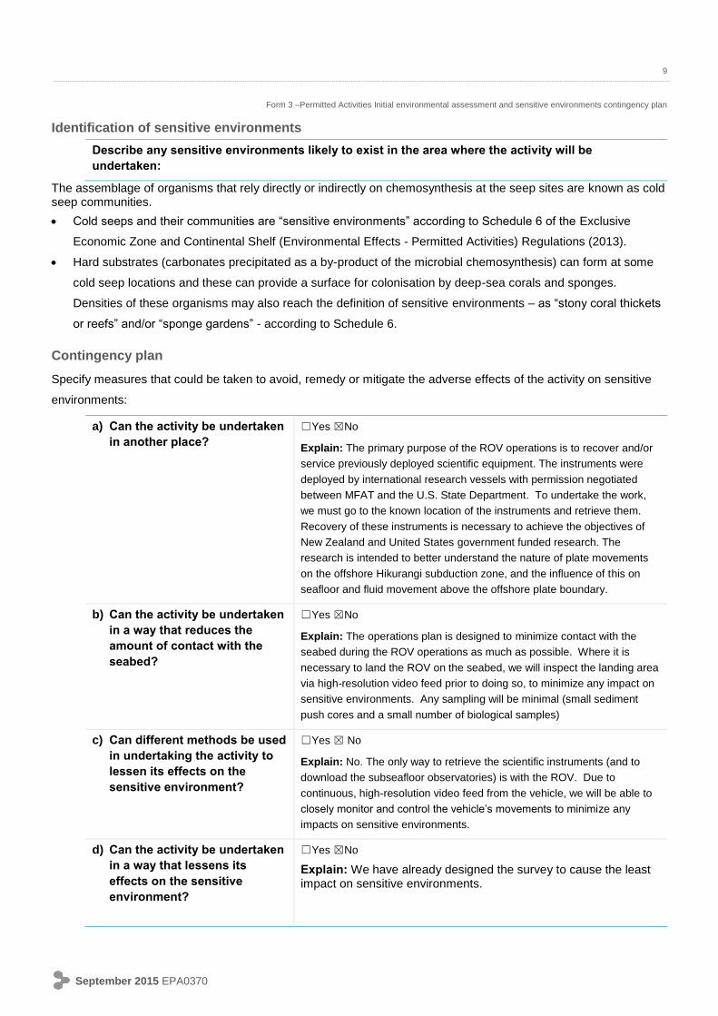
Describe the current state of the area and the surrounding environment, including any sensitive
environments:
8
Form 3 –Permitted Activities Initial environmental assessment and sensitive environments contingency plan
September 2015 EPA0370
The study area lies above the offshore Hikurangi subduction margin offshore the North Island’s east coast,
spanning from the outer shelf (one site only), and slope (500-3000 m depth) to the deep ocean basin (>3000
m depth) just east of the Hikurangi Trench (Figure 1). The ROV will be operating in open ocean, more than
12 nm from the coastline. Most of the seabed locations we are visiting are located in deep water (>1000 m)
environments. Some of the instruments are located at cold seep sites, where special and localised biological
communities exist (see below). The ROV has high-quality video feed which enables us to navigate the
vehicle to minimize any damage or disturbance to these communities. During short transits between sites
(<10 km) the ROV will remains in the water, transiting in the mid-water column. It will interact with the
seabed only when it lands and undertakes operations at each site.
At 16 of the locations where we will recover fluid flow meters that were deployed in early 2019, fluid flow is
close to or emerges from the seafloor – known as “methane or cold seeps”. Cold seeps and their
communities are “sensitive environments” according to Schedule 6 of the Exclusive Economic Zone and