2
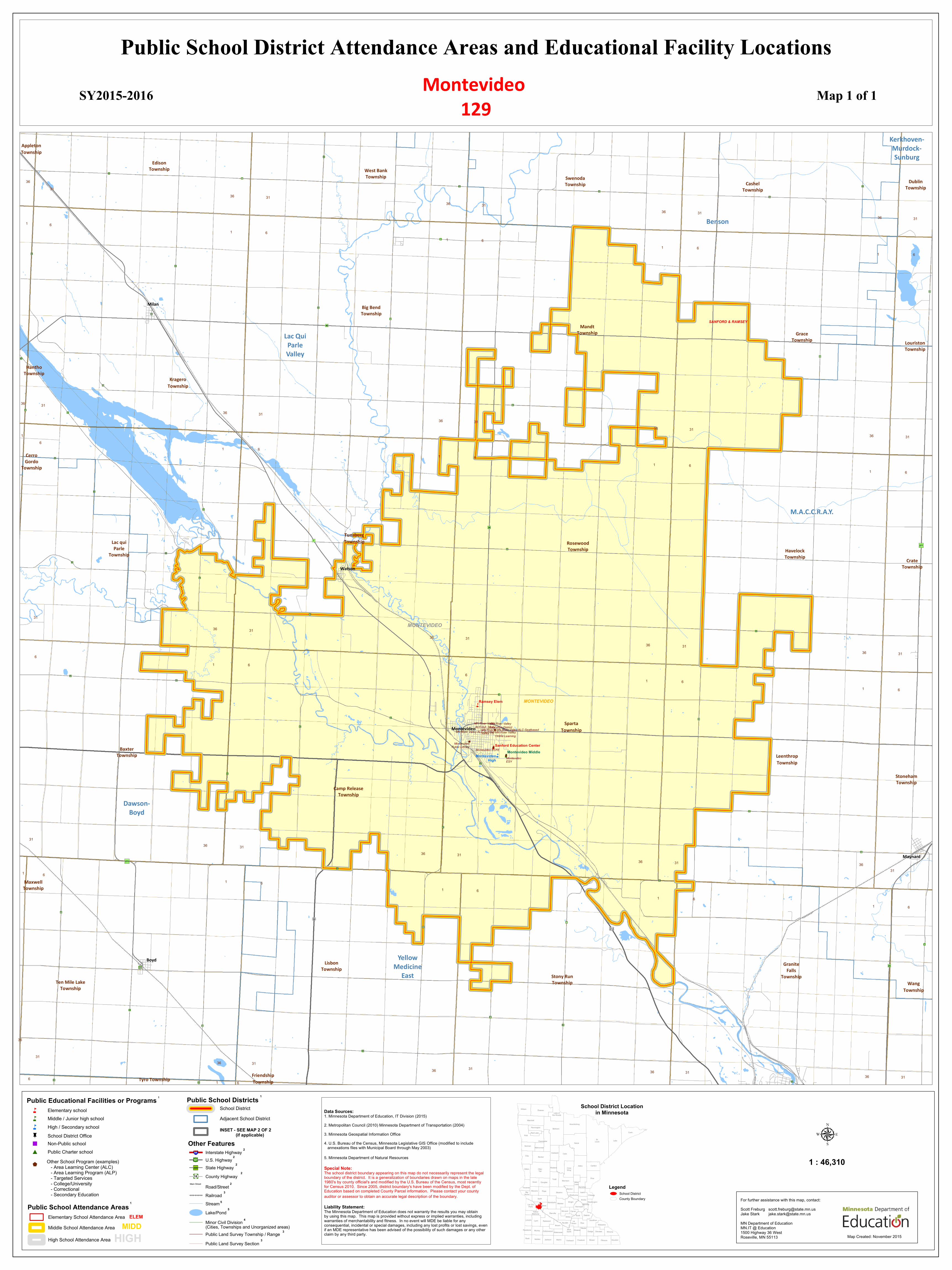
For a listing of School Programs within this School District please go to Page 2 Public School District Attendance Areas and Educational Facility Locations SY2015-2016 Map 1 of 1 n n n n $ b $ $ $ $ Appleton Township Edison Township West Bank Township Swenoda Township Cashel Township Dublin Township Hantho Township Kragero Township Big Bend Township Mandt Township Grace Township Louriston Township Lac qui Parle Township Cerro Gordo Township Tunsberg Township Rosewood Township Havelock Township Crate Township Camp Release Township Baxter Township Sparta Township Leenthrop Township Stoneham Township Stony Run Township Maxwell Township Ten Mile Lake Township Lisbon Township Granite Falls Township Wang Township Tyro Township Friendship Township Dawson- Boyd Kerkhoven- Murdock- Sunburg Benson M.A.C.C.R.A.Y. Yellow Medicine East Lac Qui Parle Valley " ! ) 11 " ! ) 30 " ! ) 42 " ! ) 206 " ! ) 9 " ! ) 46 " ! ) 19 " ! ) 21 " ! ) 66 " ! ) 41 " ! ) 15 " ! ) 37 " ! ) 70 " ! ) 22 " ! ) 62 " ! ) D2 " ! ) D3 " ! ) 65 " ! ) 7 " ! ) 39 " ! ) 17 " ! ) 75 " ! ) 14 " ! ) 79 " ! ) 48 " ! ) 83 " ! ) 27 " ! ) 8 " ! ) 12 " ! ) 13 " ! ) 6 " ! ) 77 " ! ) 10 " ! ) 26 " ! ) 2 " ! ) 5 " ! ) 71 " ! ) 58 " ! ) 36 " ! ) 32 " ! ) 52 " ! ) 29 " ! ) B4 " ! ) 35 " ! ) 34 " ! ) 16 " ! ) 64 " ! ) 4 " ! ) C3 " ! ) B5 " ! ) 20 " ! ) 18 " ! ) 31 " ! ) 33 " ! ) 73 " ) 275 " ) 40 " ) 23 " ) 7 " ) 29 " ) 277 £ ¤ 212 £ ¤ 59 Boyd Maynard Milan Watson Montevideo MONTEVIDEO MONTEVIDEO SANFORD & RAMSEY 36 31 36 31 36 31 36 31 36 31 1 6 1 6 1 6 1 6 1 6 36 31 36 31 36 31 36 31 36 31 1 6 1 6 1 6 1 6 1 6 31 36 31 36 31 36 31 36 31 6 1 6 1 6 1 6 1 6 31 36 31 36 31 36 31 36 31 1 6 1 6 1 6 1 6 1 6 36 31 36 31 36 31 36 31 36 31 6 1 6 Ramsey Elem Sanford Education Center Montevideo Middle Montevideo High MN River Valley ALC-Summer MN River Valley ALC-Seatbased MN River Valley ALC-Ind. Study MN River Valley TS MN River Valley Education District MN River Valley Online Learning Montevideo ECFE Montevideo ESY Montevideo Public Library 1 Public School Attendance Areas Elementary School Attendance Area Middle School Attendance Area High School Attendance Area ELEM MIDD HIGH Other Features Interstate Highway U.S. Highway State Highway County Highway Road/Street Railroad Lake/Pond Stream Minor Civil Division (Cities, Townships and Unorganized areas) Public Land Survey Township / Range Public Land Survey Section 3 3 4 2 2 2 2 2 3 5 5 § ¨ ¦ 94 Æ ÿ 200 Æ · 18 ( / 61 Main Street Public School Districts School District Adjacent School District 1 INSET - SEE MAP 2 OF 2 (if applicable) Montevideo 129 Lake of the Woods Kittson Roseau Koochiching St. Louis Marshall Beltrami Cook Polk Pennington Lake Clearwater Red Lake Itasca Norman Mahnomen Cass Hubbard Clay Becker Aitkin Wadena Crow Wing Carlton Otter Tail Wilkin Pine Todd Morrison Mille Lacs Kanabec Grant Douglas Traverse Benton Stevens Pope Stearns Isanti Chisago Big Stone Sherburne Swift Kandiyohi Wright Anoka Meeker Lac Qui Parle Washington Hennepin Chippewa Ramsey McLeod Carver Yellow Medicine Dakota Renville Scott Sibley Redwood Goodhue Lincoln Lyon Le Sueur Rice Brown Nicollet Wabasha Blue Earth Pipestone Murray Cottonwood Winona Waseca Steele Dodge Olmsted Watonwan Rock Nobles Jackson Martin Houston Faribault Fillmore Freeborn Mower School District Location in Minnesota Public Educational Facilities or Programs 1 Elementary school Middle / Junior high school High / Secondary school School District Office n n n c " # Non-Public school Public Charter school $ Other School Program (examples) - Area Learning Center (ALC) - Area Learning Program (ALP) - Targeted Services - College/University - Correctional - Secondary Education Legend School District County Boundary 1 : 46,310 μ Data Sources: 1. Minnesota Department of Education, IT Division (2015) 2. Metropolitan Council (2010) Minnesota Department of Transportation (2004) 3. Minnesota Geospatial Information Office 4. U.S. Bureau of the Census, Minnesota Legislative GIS Office (modified to include annexations files with Municipal Board through May 2003) 5. Minnesota Department of Natural Resources Special Note: The school district boundary appearing on this map do not necessarily represent the legal boundary of the district. It is a generalization of boundaries drawn on maps in the late 1980's by county official's and modified by the U.S. Bureau of the Census, most recently for Census 2010. Since 2005, district boundary's have been modified by the Dept. of Education based on completed County Parcel information. Please contact your county auditor or assessor to obtain an accurate legal description of the boundary. Liability Statement: The Minnesota Department of Education does not warranty the results you may obtain by using this map. This map is provided without express or implied warranties, including warranties of merchantability and fitness. In no event will MDE be liable for any consequential, incidental or special damages, including any lost profits or lost savings, even if an MDE representative has been advised of the possibility of such damages or any other claim by any third party. Map Created: November 2015 For further assistance with this map, contact: Scott Freburg [email protected] Jake Stark [email protected] MN Department of Education MN.IT @ Education 1500 Highway 36 West Roseville, MN 55113