+ All Categories
Home > Documents > Pulaski County Geographic Information System

Pulaski County Geographic Information System

Date post: 31-Dec-2015
Category:
Upload: acton-gates
View: 25 times
Download: 0 times
Share this document with a friend
Description:
Pulaski County Geographic Information System. State requirement to provide Phase II E-911 wireless capabilities at the Dispatch Center. State E-911 Wireless Board provides additional funding to localities to assist with IT and GIS services. AutoCad Drawings. ArcGis Full County. - PowerPoint PPT Presentation
Popular Tags:
22
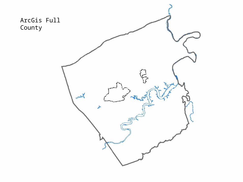
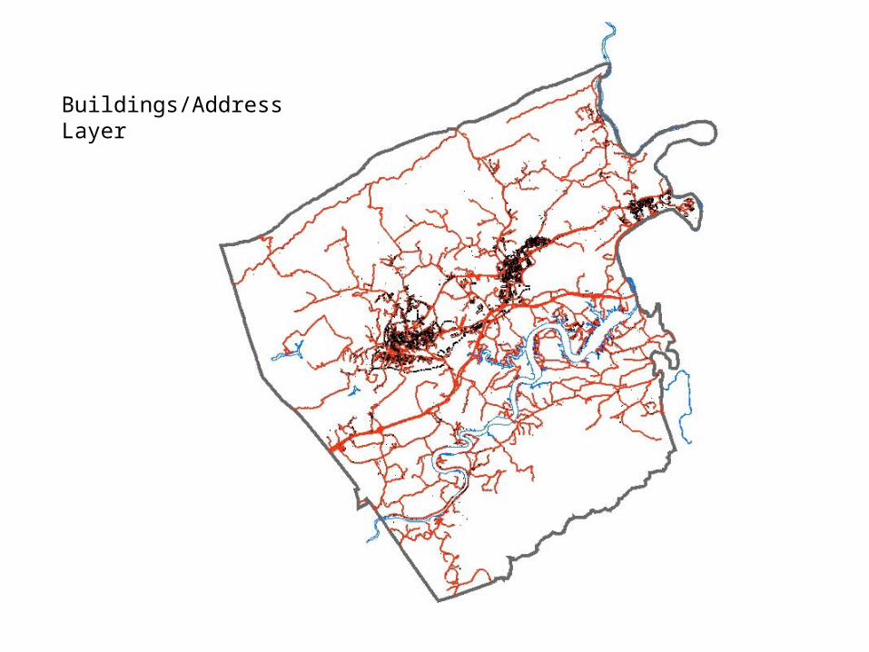
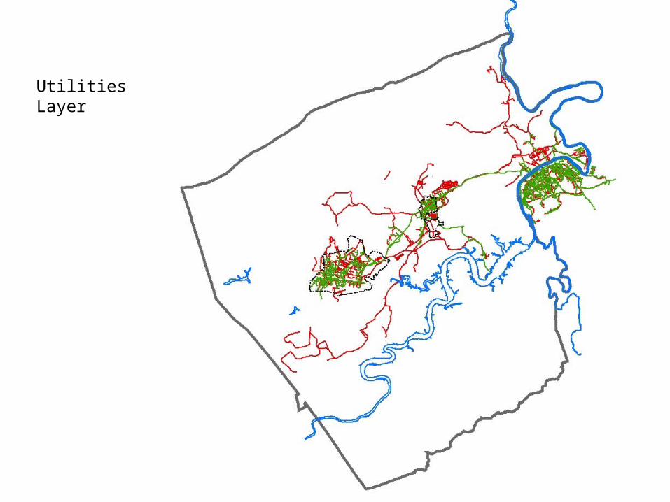
Pulaski County Geographic Information System • State requirement to provide Phase II E-911 wireless capabilities at the Dispatch Center. • State E-911 Wireless Board provides additional funding to localities to assist with IT and GIS services.
Transcript

Pulaski CountyGeographic Information System

• State requirement to provide Phase II E-911 wireless capabilities at the Dispatch Center.

• State E-911 Wireless Board provides additional funding to localities to assist with IT and GIS services.

AutoCad Drawings

ArcGis Full County

County Road Centerline Layer

Adjoining County Roads

Buildings/Address Layer

Parcels Layer

Magisterial Districts

Voter Precinct

Soil Layer

Flood Zone Layer

Utilities Layer

Zoning Layer

Digital Orthophotography

Elevation Layer

Slope Layer

5 Ft Contour Commerce Park

ArcReader

Herons Landing Ball Field

Ball Field with Townhouses

Hogans Dam Fly-over

Regional Commerce Park


Recommended