32
Radio Mobile for Windows James Perkins Thu, 23 Sep 2010 South County Subchapter www.socoares.org Clackamas ARES www.clackamasares.org
Radio Mobile for Windows
James PerkinsThu, 23 Sep 2010
South County Subchapterwww.socoares.org
Clackamas ARESwww.clackamasares.org

2
What is Radio Mobile?
● VHF/UHF propagation mapping software
● Free for personal use
● Downloads terrain data from Internet
● Manages database of Units and Networks
● Models radio wave propagation, including obstacles, fresnel zones, and ground cover
● Visualizes resulting signal strength on maps

3
Questions
● Why is it hard for Allan down in the valley to talk to Highland Butte but easy for James?
● If Mike, James, and John David had the only stations on the air, what parts of the county could they reach?
● Where could we place a relay so Bagby Hot Springs could pass messages to Glen Avon bridge?

4
Questions 2
● Where do I physically need to be in reach of Sunday night Nets?
● How come my packet station can hear Lincoln City and Kalama but I can't get TV signals?
● Should I use the UHF intertie low on this side of the butte or the VHF higher up on the other to best hit the repeater?

5
What is Radio Mobile? 2
● A tool for planning, for siting● Identify costs to benefits to different
– Frequencies
– Antenna heights
– Locations
● Makes really pretty maps (to a radio geek)

6
Hardware Needed
● X86 PC (real hardware or emulated)● Moderate performance● Nice graphics for looking at maps● Broadband Internet connection (map data) ● Color Printer (nice to have)● Netbooks not recommended
– tiny display and slow processor

7
Software Needed
● Windows OS– Or WINE on Fedora Linux
yum install wine wine-openal
● Download and install Zip utility– ex. http://www.7-zip.org/

8
Radio Mobile Website
Go to the website
http://www.cplus.org/rmw/english1.html
● See "About..." link for overview● Read at "Download..." link to familiarize
yourself with the next steps
Note this helpful tutorial:http://www.pizon.org/radio-mobile-tutorial/index.html

9
Install Visual Basic
At http://www.cplus.org/rmw/download/download.php?S=1
● Step 1: Click to download vbrun60sp6.exe– It downloads VB6.0-KB290887-X86.exe
● Run that– It will ask where to put the results
– Desktop is fine, it extracts vbrun60sp6.exe
● Run vbrun60sp6.exe– May see some complaints, but it's installed

10
Download Radio Mobile
At http://www.cplus.org/rmw/download/download.php?S=1
Download linked files from steps:● Step 3: rmwcore.zip● Step 4: rmw1079eng.zip (English language)
● Step 8: wmap.zip

11
Create directory, extract files
● From Windows Explorer/File Manager– create folder c:\rmw
● Use 7-zip to open each .zip file– extract to c:\rmw

12
Create Map Storage Directories
● Create folder c:\geodata● Inside c:\geodata, create folders:
expedia, google, gtopo30, landcover,
landsat, mapquest, openstreetmap,
srtm1, srtm3, terraserver, toporama,
virtualearth, yimg

13
Configure Elevation Data
● Run c:\rmw\rmweng.exe● Open menu Options -> Internet● Click SRTM● Check "Download from Internet if a file is not
found on local path and keep a local copy"● Set Local files path to c:\geodata\srtm1

14
Configure Elevation Data
Select Internet ftp directory:● SRTM - 1 arcsecond - Site 3
1 arcsecond represents medium grain detail● For large-scale maps, use 3 arcsecond● For small-scale maps, use 1/3 arcsecond

15
Configure Other Map Storage
● Set up other maps like SRTM:Land cover (landcover)
Landsat (landsat)
OpenStreetMap (openstreetmap)
Terraserver (terraserver)
Toporama (toporama)
Virtual Earth (virtualearth)
Google Map (google)
Yahoo Map (yimg)

16
Networks, Systems, and Units
Somewhat independent things:● Networks - organize Units and Systems
together● Systems - common antenna, transceiver
configurations● Units - specific radio station data

17
Networks
Networks define the following:● Band/Frequency (e.g. VHF or UHF)● Terrain model (ex. Contintental temperate)● Topology (Voice vs. Data network)● Membership (which Units are in Network)● Systems (default transmit power, antenna)● Style (what to color ok/fair/bad)

18
Using Networks
Go to File -> Networks Properties...● Go through each tab● Don't worry about Units yet● Notice at the top:
– Networks are easy to copy and modify
● Set up a VHF net
19
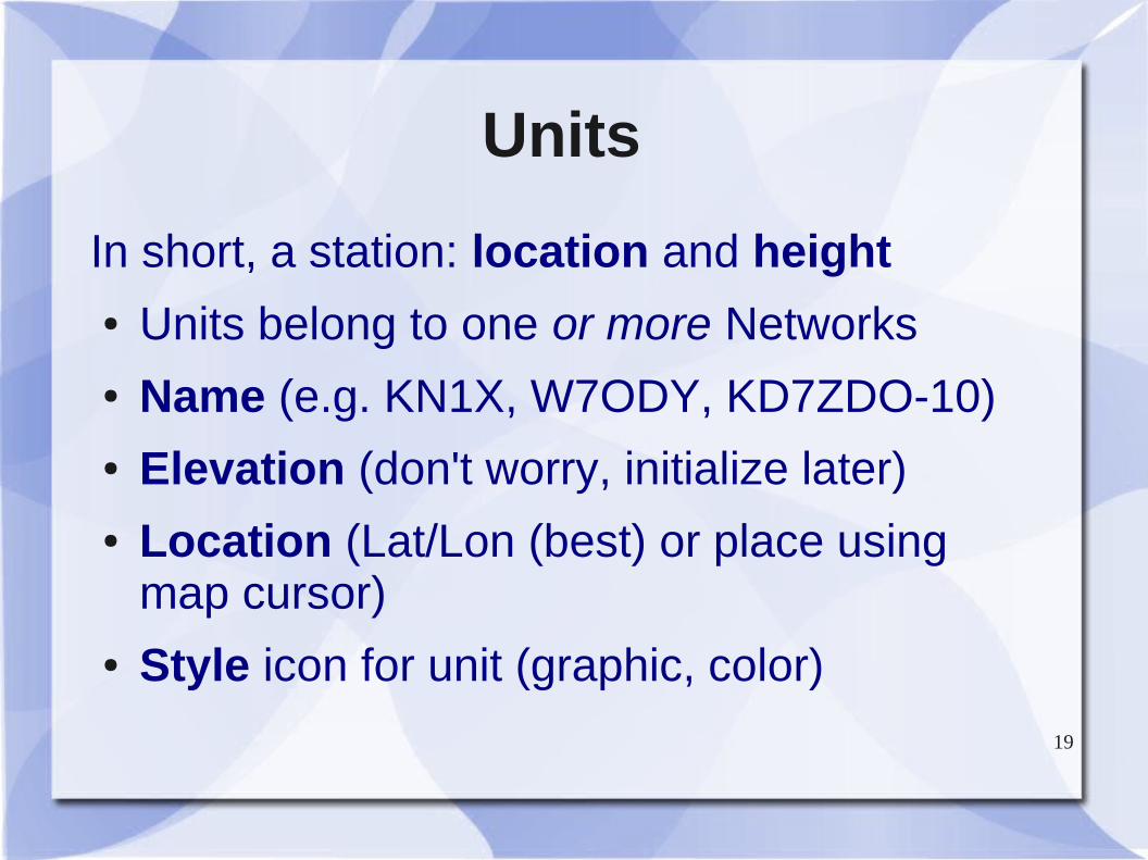
Units
In short, a station: location and height● Units belong to one or more Networks● Name (e.g. KN1X, W7ODY, KD7ZDO-10)● Elevation (don't worry, initialize later)● Location (Lat/Lon (best) or place using
map cursor)● Style icon for unit (graphic, color)

20
Finding Latitude/Longitudes
● Find addresses for callsigns:
http://www.qrz.com
● Convert street address to Lat/Long coordinates:
http://stevemorse.org/jcal/latlon.php
● Find repeaters near location (plotted on a map, gives Lat/Long):
http://k5ehx.net/repeaters/qrepeater.php

21
Using Units
Go to File -> Unit Properties...● Go through each tab● Create a few
22
Maps
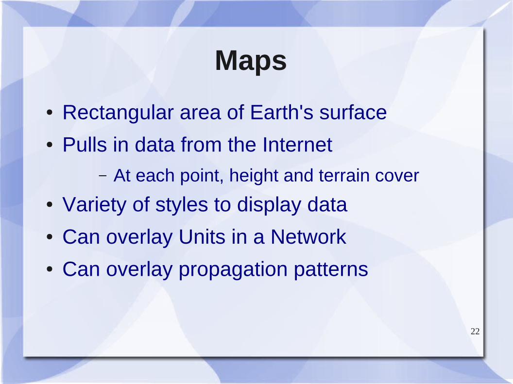
● Rectangular area of Earth's surface● Pulls in data from the Internet
– At each point, height and terrain cover
● Variety of styles to display data● Can overlay Units in a Network● Can overlay propagation patterns

23
Using Maps
Go to File -> Map Properties...● Set a center location Lat/Lon or via world
map● Click [x] Adust units elevation
– initializes units altitude data for you
– Remember units have an antenna height above average terrain too
● Set picture size in pixel width x height● Set height (in km) to scale area covered

24
Using Maps 2
● Configure elevation data– Change None to SRTM
– C:\geodata\srtm1
● Click Extract, it will download and go● Subsequent maps will offer to overwrite or
to merge data with previous map data, or throw it away

25
Show Network of Units on Map
Putting it all together:● Create a Network● Create some Units in the Network● Create a map where the Units are
Show the units on the map● View -> Show Networks

26
Visualize Link Propagation
... between Two Stations
Go to Tools -> Radio Link● Select the Tx and Rx units● Adjust antenna height and power or use
system defaults● Swap Tx and Rx stations
27
Visualize Station Coverage
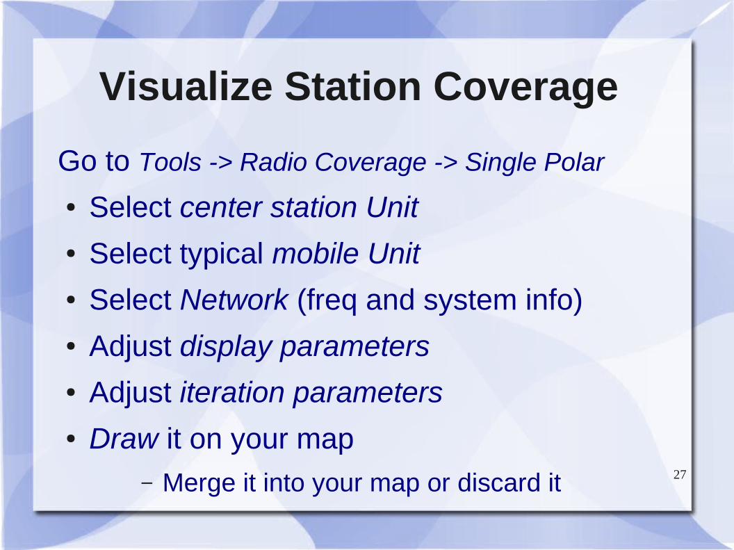
Go to Tools -> Radio Coverage -> Single Polar
● Select center station Unit● Select typical mobile Unit● Select Network (freq and system info)● Adjust display parameters● Adjust iteration parameters● Draw it on your map
– Merge it into your map or discard it

28
Visualize Network Coverage
● Where on the map can cooperating stations pass a message to/from?
Said another way:● Sum of all Single Polar plots for each
cooperating station in the list

29
Visualize Network Coverage 2
Go to Tools -> Radio Coverage -> Combined Cartesian
● Select typical mobile Unit● Select Network (freq and system info)● Select each Unit that is cooperating● Click Draw, get coffee
30
Pictures
...the result of generating Maps
You may turn on:● Topographical altitude lines● City names● Merge pictures with other pictures
– e.g. maps for altitude, propagation, roads
– Edit -> Merge Pictures

31
Other Fun Stuff
The Bretz Flood...● Create map centered on Portland● Edit -> Flood, set 100 meters, and go

32
Conclusion
● What you need to start● Download, Installation, Configuration● Explanation of major features● Key Uses of Radio Mobile
Download these slides from:
http://www.loowit.net/~james/hamradio/radiomobile


