18
Remote Sensing for Water Quality Applications

Remote Sensing for Water Quality Applications

Objective
� Give a brief update on
GEO Inland and Nearshore Coastal Water Quality Remote Sensing Workshop(GEO Work Task WA-06-01))
Held in Geneva, Switzerland27 - 29 March 2007
co-chaired by Steven Greb - IGOS-P IGWCOAntti Herlevi - GEO
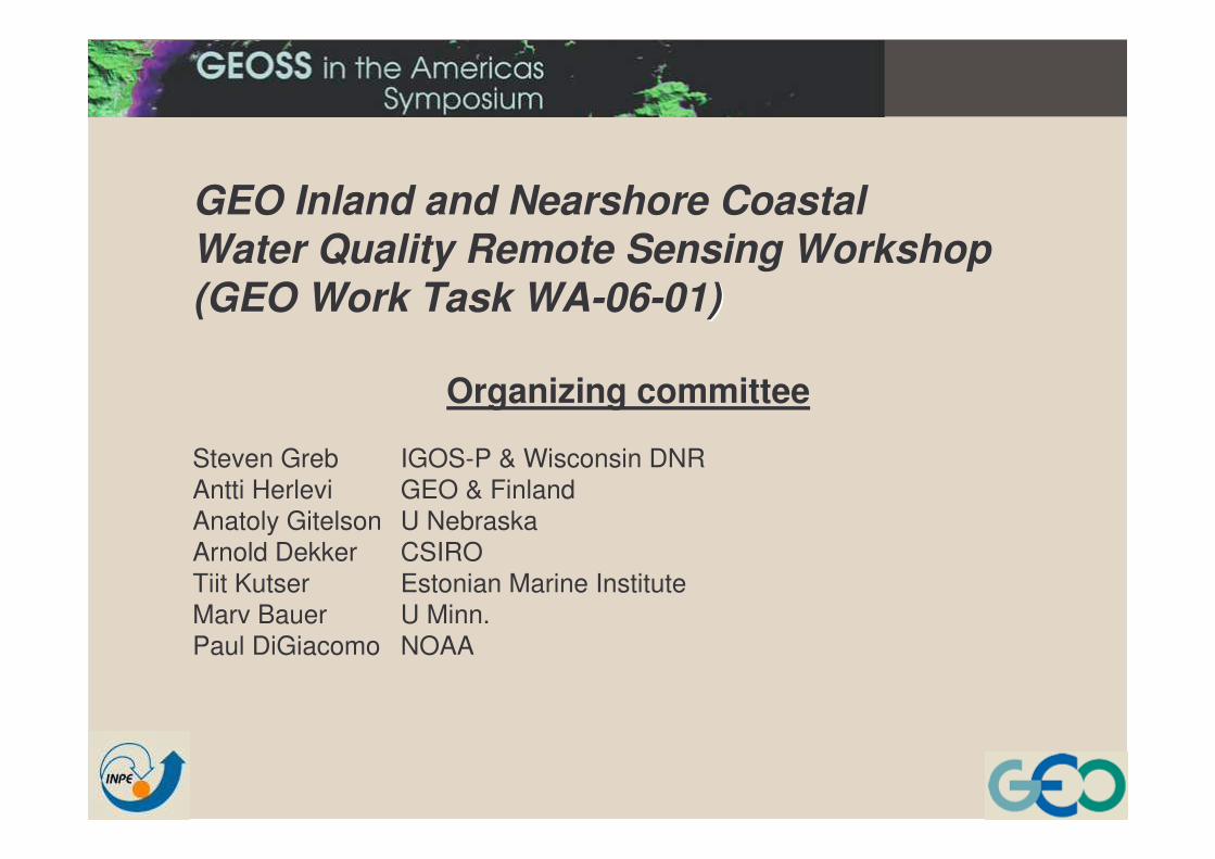
GEO Inland and Nearshore Coastal Water Quality Remote Sensing Workshop(GEO Work Task WA-06-01))
Organizing committee
Steven Greb IGOS-P & Wisconsin DNRAntti Herlevi GEO & FinlandAnatoly Gitelson U NebraskaArnold Dekker CSIROTiit Kutser Estonian Marine InstituteMarv Bauer U Minn.Paul DiGiacomo NOAA

55 participants 26 countriesDiverse group-geographically and in expertiseExtremely dedicated group of people!

GEO Inland and Nearshore Coastal Water Quality Remote Sensing
Workshop
To bring together remote sensing data providers and expert users to improvecapacity to remotely assess and monitor inland and nearshore coastal water quality.
To bring together remote sensing data providers and expert users to improvecapacity to remotely assess and monitor inland and nearshore coastal water quality.
Goal

GEO Inland and Nearshore Coastal Water Quality Remote Sensing
Workshop
•assess existing and planned RS capabilities; •identify gaps relative to user needs (acquisition, processing, distribution and utilization of RS data and derived products); •formulate potential solutions to close the gaps
•assess existing and planned RS capabilities; •identify gaps relative to user needs (acquisition, processing, distribution and utilization of RS data and derived products); •formulate potential solutions to close the gaps
Objectives

GEO Inland and Nearshore Coastal Water Quality Remote Sensing
Workshop
Recommendations:• to data providers • GEO Members •Participating Organizations on short-term priorities for improving RS capacity and utilization for water quality assessment and monitoringFormulations of short and long term strategies to identify, enable and implement enhanced capabilities.
Recommendations:• to data providers • GEO Members •Participating Organizations on short-term priorities for improving RS capacity and utilization for water quality assessment and monitoringFormulations of short and long term strategies to identify, enable and implement enhanced capabilities.
Products

......addressed in five sequential sessions
Breakout sessions
Sensors
Data Access
Data Processing Products
Focused on four important issues..........
I: Identify Gaps
II: Inventory of Causes for Gaps
III: Proposals forSolutions to Gaps
IV: Priority setting for proposed solutions
V: Synthesis, Discussion, Recommendations
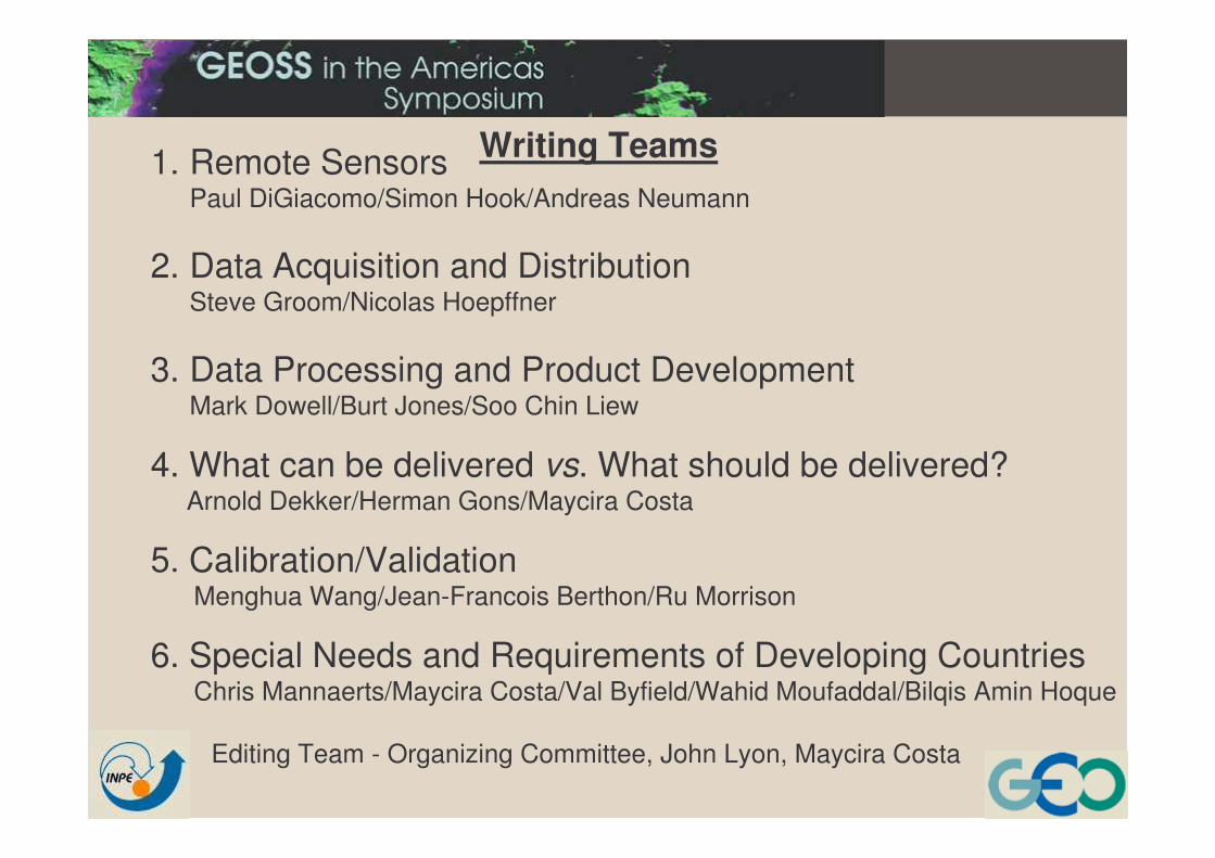
Writing Teams1. Remote SensorsPaul DiGiacomo/Simon Hook/Andreas Neumann
2. Data Acquisition and DistributionSteve Groom/Nicolas Hoepffner
3. Data Processing and Product Development Mark Dowell/Burt Jones/Soo Chin Liew
4. What can be delivered vs. What should be delivered? Arnold Dekker/Herman Gons/Maycira Costa
5. Calibration/ValidationMenghua Wang/Jean-Francois Berthon/Ru Morrison
6. Special Needs and Requirements of Developing CountriesChris Mannaerts/Maycira Costa/Val Byfield/Wahid Moufaddal/Bilqis Amin Hoque
Editing Team - Organizing Committee, John Lyon, Maycira Costa

Writing Teams1. Remote Sensors
Paul DiGiacomo/Simon Hook/Andreas Neumann
2. Data Acquisition and DistributionSteve Groom/Nicolas Hoepffner
3. Data Processing and Product Development Mark Dowell/Burt Jones/Soo Chin Liew
4. What can be delivered vs. What should be delivered? Arnold Dekker/Herman Gons/Maycira Costa
5. Calibration/ValidationMenghua Wang/Jean-Francois Berthon/Ru Morrison
Editing Team - Organizing Committee, John Lyon
6. Special Needs and Requirements of Developing CountriesChris Mannaerts/Maycira Costa/Val Byfield/Wahid Moufaddal/Bilqis Amin Hoque

6. Special Needs and Requirements of Developing CountriesChris Mannaerts/Maycira Costa/Val Byfield/Wahid Moufaddal/Bilqis Amin Hoque
An example of chapter structure and information.......................................
BackgroundLesser developed countries are key shareholders of large tracks of coastline, large estuarine areas as well as vital freshwater ecosystems. There is a special need to address specific issues and needs particular to developing nations in order to better articulate their role and participation in this field and in the GEO process in general
Issues and gaps The following generic issues were raised and gaps identified:•Most developing countries are characterized by a lack of a sustained long-term local infrastructure in both, human capacity and physical operational satellite and in situ observing systems;•A strong fragmentation of mandates among institutions and administrations dealing with multiple aspects of WQ, leading to poorly coordinated actions and efforts. •Poor recognition and awareness of the societal importance, cross-cutting impact of water quality issues in country social and economic development, leading to lower priority in fund allocations. As a consequence, long term observation or in situmonitoring programs are usually defunct of operational budget and staff.

In relation to the use of in situ and satellite monitoring for WQ, the following issues and gaps were identified:
•Lack of data sharing interests and standardized exchange mechanisms (data protocols, database standards, data quality controls) between institutions, departments and countries (e.g. sharing freshwater resources).
•Compared to temperate regions, there is far less knowledge on adequacy of retrieval algorithms in tropical waters (e.g. coastal case II waters).
•The cost of certain optical satellite or airborne data needed for monitoring water quality parameters is prohibitive for many lesser developed countries.
Issues and gaps......continued
6. Special Needs and Requirements of Developing CountriesChris Mannaerts/Maycira Costa/Val Byfield/Wahid Moufaddal/Bilqis Amin Hoque

Solutions and priorities•Ease the free accessibility to satellite data usable for monitoring freshwater and coastal water quality in developing countries.
•Use local scientific communities to identify the feasibility and applicability of remote sensing combined with in situ monitoring for solving their water quality issues.
•Facilitate coordination and collaboration between member countries in the field of water quality monitoring strategies, set-up of in-country and coastal monitoring networks.
•Support national and regional capacity building initiatives, comprising education and training and local permanent infrastructure building, to collect, analyze, use and disseminate data.
6. Special Needs and Requirements of Developing CountriesChris Mannaerts/Maycira Costa/Val Byfield/Wahid Moufaddal/Bilqis Amin Hoque

SHORT TERM Recommendations :•Inventory of the demand for EO products in relation to water quality in developing countries, and establish the points of contacts in the GEO member countries in relation to the WQ theme (e.g. start from UNEP GEMS focal points).•Include the freshwater and coastal water quality issue in the GEO presentation for the ministerial level GEO meeting (Nov, 2007).•Launch capacity building initiatives in some developing countries with active involvement of graduate students and researchers from western universities.•Support the development of e-learning and distance learning in remote sensing for water quality, using freeware and open source domainsoftware tools (e.g. BILKO, SPRING, ILWIS, SeaDAS, BEAM/Visat, etc.).•Facilitate and conduct pilot projects in countries faced with emergency water quality problems.
6. Special Needs and Requirements of Developing CountriesChris Mannaerts/Maycira Costa/Val Byfield/Wahid Moufaddal/Bilqis Amin Hoque

Recommendations (fitting the long-term strategies of GEO, in line with GEO 10-yr implementation plan were):
• Use GEO as an umbrella organization for creating a global partnership between developing nations and the int’l global observing science community in the field of water quality Earth Observation;
•GEO to promote fund raising (e.g. donor conference) for establishing long term programs in regular monitoring of water quality in data scarce or poorly studied areas in developing countries.
•Support developing countries for instrumentation needed for in situ Cal/Val operations and EO data acquisition.
6. Special Needs and Requirements of Developing Countries
Chris Mannaerts/Maycira Costa/Val Byfield/Wahid Moufaddal/Bilqis Amin Hoque

Development of Water Quality Remote Sensing Pilot Projects, a priority recommendation of the workshop participants
specific workshop follow-up:• better leverage existing capabilities, • promote R&D efforts,• facilitate greater utilization of satellite remote sensing data by
water resource managers and decision-makers in both developed and developing nations.
• In particular, the Coastal Zone Community of Practice, working with the GEO Water Cycle Community of Practice and User Interface Committee (UIC), as well as the IGOS Water Cycle & Coastal Themes, is presently working to identify and develop user-driven water quality pilot projects that help integrate satellite remote sensing into the routine decision-making process and provide improved capacity.

Development of Water Quality Remote Sensing Pilot Projects, a priority recommendation of the workshop participants
Exciting opportunities exist in the Americas, expanding andleveraging existing activities such as the Antares network,as well as the ongoing Southern California Bight Projects (e.g., Bight ’03, Bight ’08),
amongst other related regional efforts.
Provide suggestions on specific user-driven, local/regional water quality pilot projects that can potentially be developed under the GEO banner to facilitate greater use of satellite remotesensing data and provide improved capacity in support of Improved coastal management and decision-making, ideally leveraging the Antares network and other ongoing regional observing efforts.

Approx. 2007 Timetable for report completion
27Jul. –15 Sept. Technical and editorial review
21 Sept. Committee meeting (Conference call)
15 Oct. Submit to GEO for review
Nov.1 Distribution. Posted on IGWCO and GEO websites, Ministerial Summit


