Risk MAP Discovery Capturing a More Complete Picture of Your Watershed Risk MAP Discovery The Goal To work closely with communities to better understand local flood risk, mitigation efforts, and other topics and spark watershed-wide discussions about increasing resilience to flooding. The Discovery process of FEMA’s Risk MAP program helps communities identify areas at risk for flooding and solutions for reducing that risk. The Partners During Discovery, FEMA partners with: • Community and Tribal officials, including leaders, floodplain administrators, engineers, watershed council representatives, planners, emergency managers, and GIS specialists • Federal, State, and regional, non-profit organizations concerned with flooding or land use • Other locally identified stakeholders The Meeting Once communities provide FEMA with local flood risk and other data, FEMA schedules a Discovery Meeting to: • Review and validate the flood risk data gathered to date • Discuss the community or Tribe’s flooding history, development plans, flood mapping needs, and flood risk concerns • Review stormwater, floodplain management, and other community activities that relate to flood risk • Discuss the vision for the watershed’s future, as well as the importance of mitigation planning and community outreach Learn More To learn more about Discovery and the types and formats of data communities can contribute, contact Tom Pickering, Engineer, FEMA Region 6, Mitigation Division, at [email protected]. We look forward to working with you. Related FEMA Programs FloodSmart www.floodsmart.gov Hazard Mitigation Assistance www.fema.gov/government/grant/hma Community Rating System www.fema.gov/business/nfip/crs.shtm National Dam Safety Program www.fema.gov/plan/prevent/damfailure/ndsp.shtm www.fema.gov/plan/prevent/fhm/rm_main.shtm 1–877–FEMA MAP Specific FEMA Region 6 information can be found at www.riskmap6.com
Transcript
Risk MAP DiscoveryCapturing a More Complete Picture of Your Watershed
Risk MAP DiscoveryThe GoalTo work closely with communities to better understand local flood risk, mitigation efforts, and other topics and spark watershed-wide discussions about increasing resilience to flooding. The Discovery process of FEMA’s Risk MAP program helps communities identify areas at risk for flooding and solutions for reducing that risk.
The PartnersDuring Discovery, FEMA partners with:
• Community and Tribal officials, including leaders, floodplain administrators, engineers, watershed council representatives, planners, emergency managers, and GIS specialists
• Federal, State, and regional, non-profit organizations concerned with flooding or land use
• Other locally identified stakeholders
The MeetingOnce communities provide FEMA with local flood risk and other data, FEMA schedules a Discovery Meeting to:
• Review and validate the flood risk data gathered to date
• Discuss the community or Tribe’s flooding history, development plans, flood mapping needs, and flood risk concerns
• Review stormwater, floodplain management, and other community activities that relate to flood risk
• Discuss the vision for the watershed’s future, as well as the importance of mitigation planning and community outreach
Learn MoreTo learn more about Discovery and the types and formats of data communities can contribute, contact Tom Pickering, Engineer, FEMA Region 6, Mitigation Division, at [email protected]. We look forward to working with you.
Specific FEMA Region 6 information can be found atwww.riskmap6.com
Local and National Flood Data Tell the StoryThe data that FEMA has available at the national and regional levels only tells part of the story. For a
holistic picture of a community’s flood risk, FEMA relies heavily on information and data provided by
the community itself.
Why Is this Important?Because flood hazards change over time, this effort provides a great opportunity to take a comprehensive look at the components and activities that contribute to your community’s and your watershed’s flood risk. In addition to providing another perspective, participating in this process will increase your understanding of your flood risk and help you identify proactive steps you can take to protect your community from losses to life and property that often accompany flooding.
* Communities may also have additional data that may help explain their flood risk or hazard. FEMA asks communities to share whatever data they have to provide as complete a picture as possible.
Data Available to FEMA at the National/Regional Level
FEMA can access and review:
• FEMA-approved mitigation plans
• Previous flood studies
• Numbers of flood insurance policies
• Letters of Map Change
• Average Annualized Loss (AAL) information
• Census data
• National levee and dam inventories*
• Related data from other Federal and State agencies
Data FEMA Requests from Communities
FEMA works with communities to collect and review*:
• Areas of nuisance flooding
• Historical local flooding mitigation activities and grant projects, ongoing and planned
• Comprehensive plans
• Local development and floodplain management plans
• Stormwater management activities
• Community ordinances
• Infrastructure information, especially for levees and new bridges, dams, culverts, and road improvements
• Building footprints or parcel data
• Boundary, hydrography, and transportation layers
• Elevation data
• Flood study needs
• Regional watershed plans
• Details of the current flood risk communication process
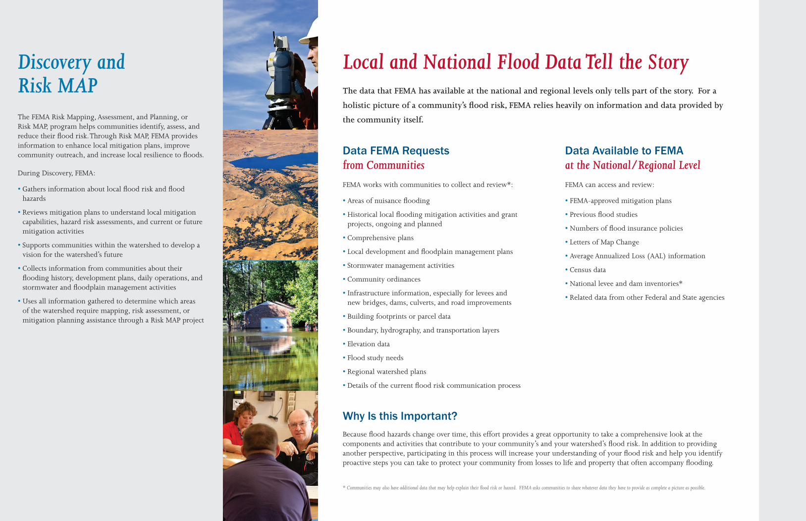
Discovery and Risk MAPThe FEMA Risk Mapping, Assessment, and Planning, or Risk MAP, program helps communities identify, assess, and reduce their flood risk. Through Risk MAP, FEMA provides information to enhance local mitigation plans, improve community outreach, and increase local resilience to floods.
During Discovery, FEMA:
• Gathers information about local flood risk and flood hazards
• Reviews mitigation plans to understand local mitigation capabilities, hazard risk assessments, and current or future mitigation activities
• Supports communities within the watershed to develop a vision for the watershed’s future
• Collects information from communities about their flooding history, development plans, daily operations, and stormwater and floodplain management activities
• Uses all information gathered to determine which areas of the watershed require mapping, risk assessment, or mitigation planning assistance through a Risk MAP project


![Risk MAP and Discovery FEMA Region [#], [WATERSHED NAME] Watershed Information Exchange Sessions [DATES]](https://static.documents.pub/doc/80x56/56649ed05503460f94bde97e/risk-map-and-discovery-fema-region-watershed-name-watershed-information.jpg)


