23
RPC’s Working Together to Make RTP’s
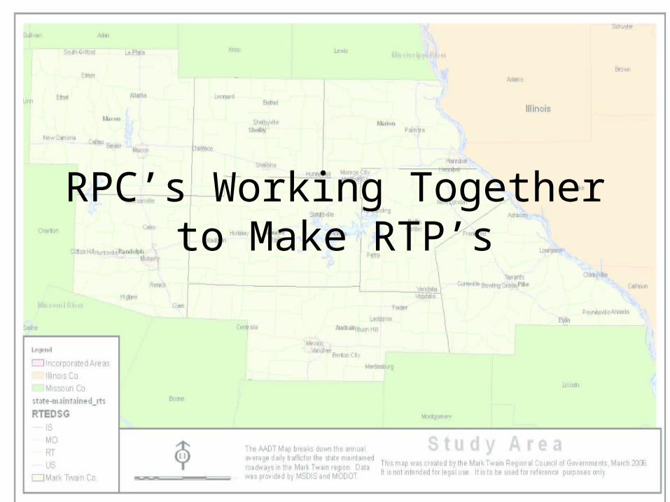
RPC’s Working Together to Make RTP’s
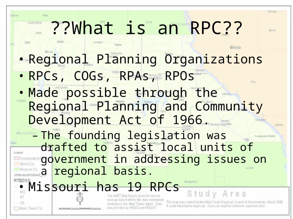
??What is an RPC??
• Regional Planning Organizations• RPCs, COGs, RPAs, RPOs• Made possible through the Regional
Planning and Community Development Act of 1966. – The founding legislation was drafted to assist
local units of government in addressing issues on a regional basis.
• Missouri has 19 RPCs
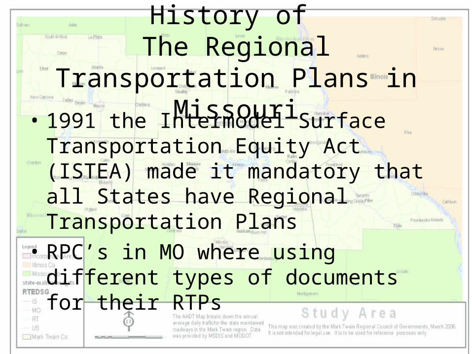
History of The Regional Transportation Plans
in Missouri• 1991 the Intermodel Surface
Transportation Equity Act (ISTEA) made it mandatory that all States have Regional Transportation Plans
• RPC’s in MO where using different types of documents for their RTPs
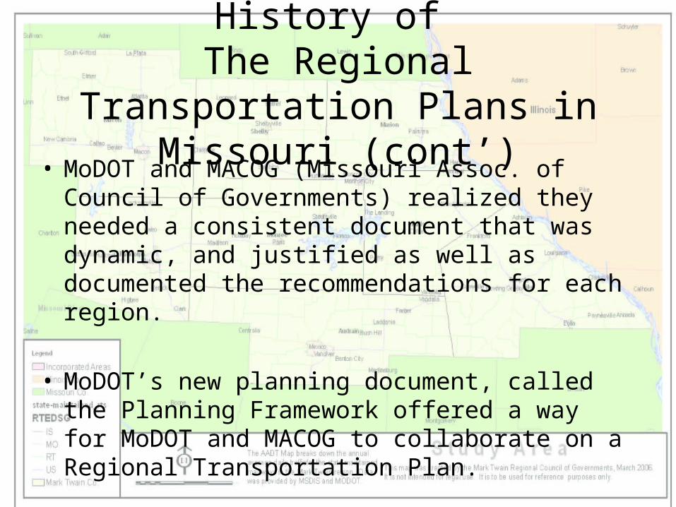
History of The Regional Transportation Plans
in Missouri (cont’)• MoDOT and MACOG (Missouri Assoc. of
Council of Governments) realized they needed a consistent document that was dynamic, and justified as well as documented the recommendations for each region.
• MoDOT’s new planning document, called the Planning Framework offered a way for MoDOT and MACOG to collaborate on a Regional Transportation Plan.
History of The Regional Transportation Plans
in Missouri (cont’)• MoDOT and MACOG came together to
create RTP guidelines– Three year phased project– Criteria was set for the plan’s narrative
section• Basic Maps were identified
– Each RPC was to have its own RTP that was unique, but at the same time comparable to others
A Need for Mapping Standards
• Working Groups were established– Communication was very open from the start
• Large working group meetings• Small working group meetings• Conference Calls• Email, emails, emails, emails, emails
– Decided what types of maps needed to be present in each of the plans sections, as well as set the standards for these maps
20 heads work better than 1
• Large Working Group Meetings– All of the RPC’s attended– Identified more in depth maps for each
section of the RTP– Large group meetings identified most of the
initial problems/ obstacles– Large group meetings solved most of the
initial problems/ obstacles
Initial Problems
• GIS Knowledge and usage was not equal in Missouri RPC’s– Level of GIS experience varied from none, to
novice, to experienced– GIS software being used varied from ArcGIS
3.2 to 9.1– Some RPC’s had GIS, some did not
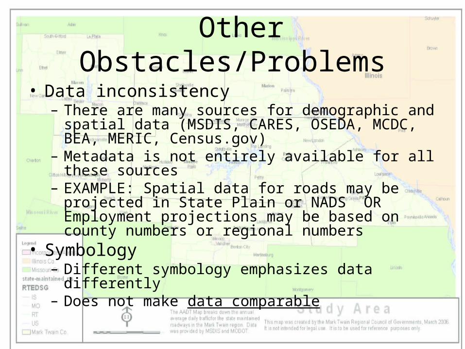
Other Obstacles/Problems
• Data inconsistency– There are many sources for demographic and spatial
data (MSDIS, CARES, OSEDA, MCDC, BEA, MERIC, Census.gov)
– Metadata is not entirely available for all these sources– EXAMPLE: Spatial data for roads may be projected in
State Plain or NADS OR Employment projections may be based on county numbers or regional numbers
• Symbology– Different symbology emphasizes data differently– Does not make data comparable
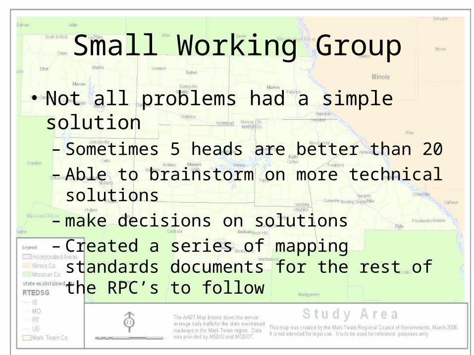
Small Working Group
• Not all problems had a simple solution– Sometimes 5 heads are better than 20– Able to brainstorm on more technical solutions – make decisions on solutions– Created a series of mapping standards
documents for the rest of the RPC’s to follow
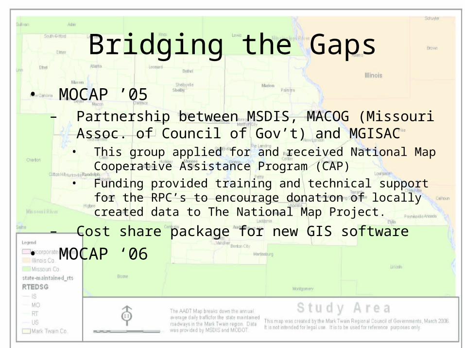
Bridging the Gaps
• MOCAP ’05– Partnership between MSDIS, MACOG (Missouri
Assoc. of Council of Gov’t) and MGISAC• This group applied for and received National Map
Cooperative Assistance Program (CAP) • Funding provided training and technical support for the
RPC’s to encourage donation of locally created data to The National Map Project.
– Cost share package for new GIS software
• MOCAP ‘06
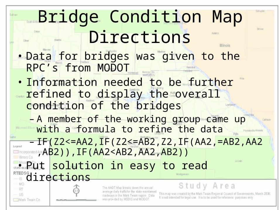
Bridge Condition Map Directions
• Data for bridges was given to the RPC’s from MODOT
• Information needed to be further refined to display the overall condition of the bridges– A member of the working group came up with
a formula to refine the data– IF(Z2<=AA2,IF(Z2<=AB2,Z2,IF(AA2,=AB2,AA
2,AB2)),IF(AA2<AB2,AA2,AB2))
• Put solution in easy to read directions
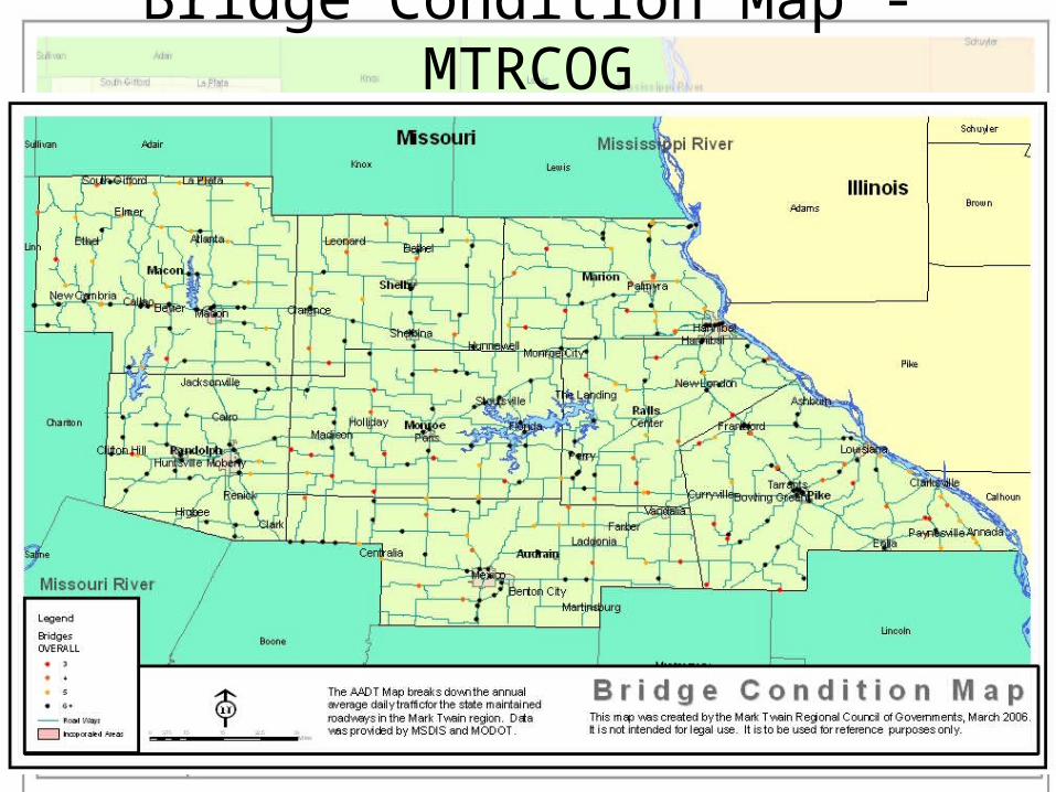
Bridge Condition Map - MTRCOG
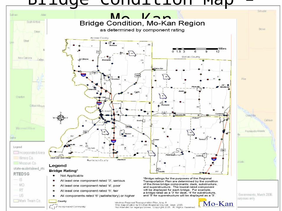
Bridge Condition Map – Mo-Kan
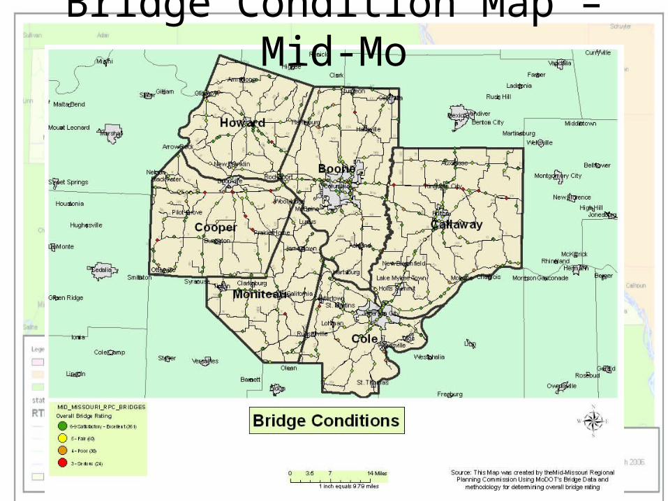
Bridge Condition Map – Mid-Mo
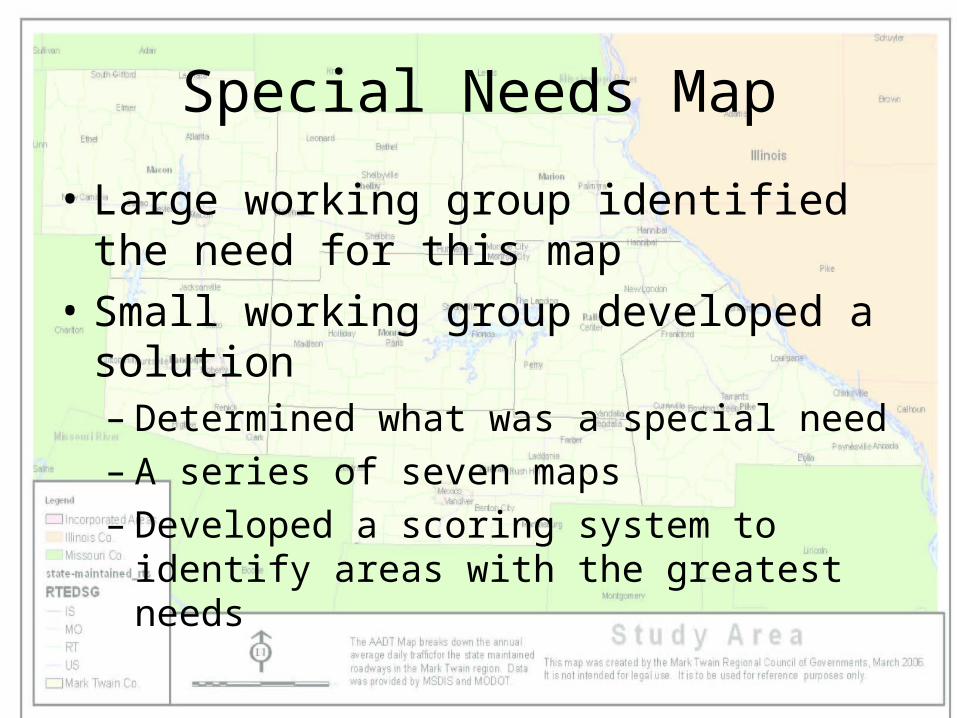
Special Needs Map
• Large working group identified the need for this map
• Small working group developed a solution– Determined what was a special need– A series of seven maps– Developed a scoring system to identify areas
with the greatest needs
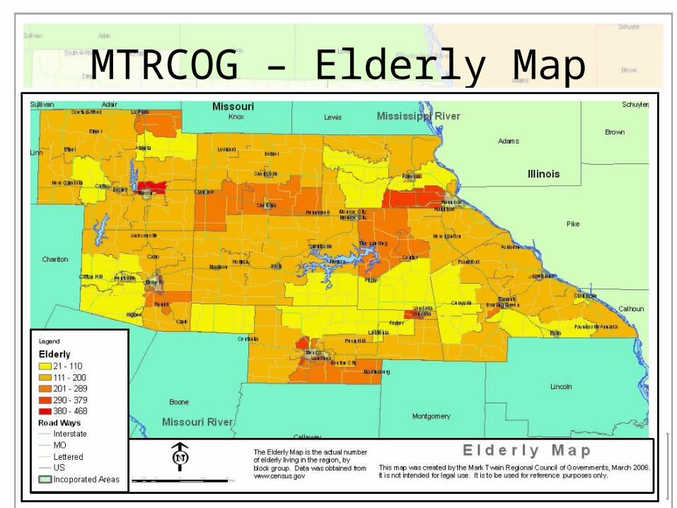
MTRCOG – Elderly Map
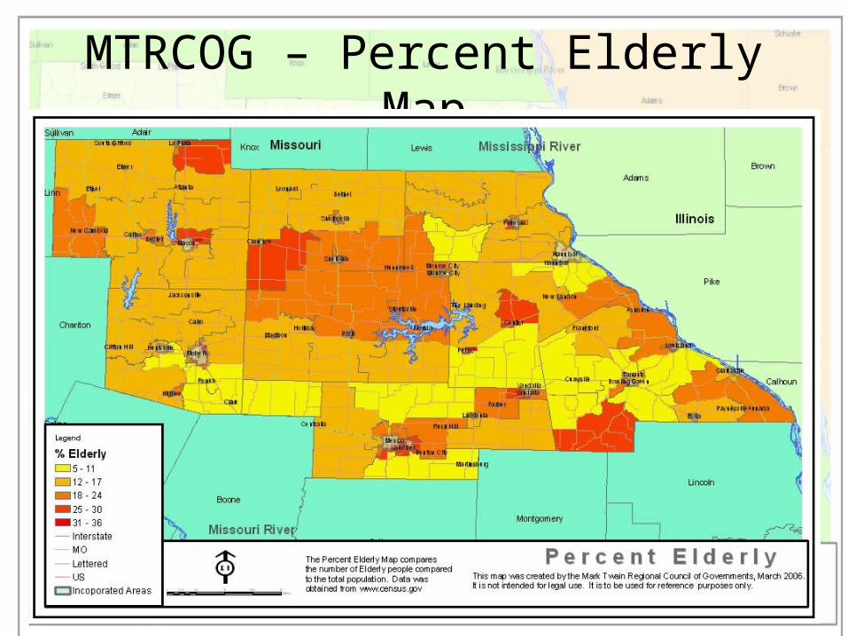
MTRCOG – Percent Elderly Map
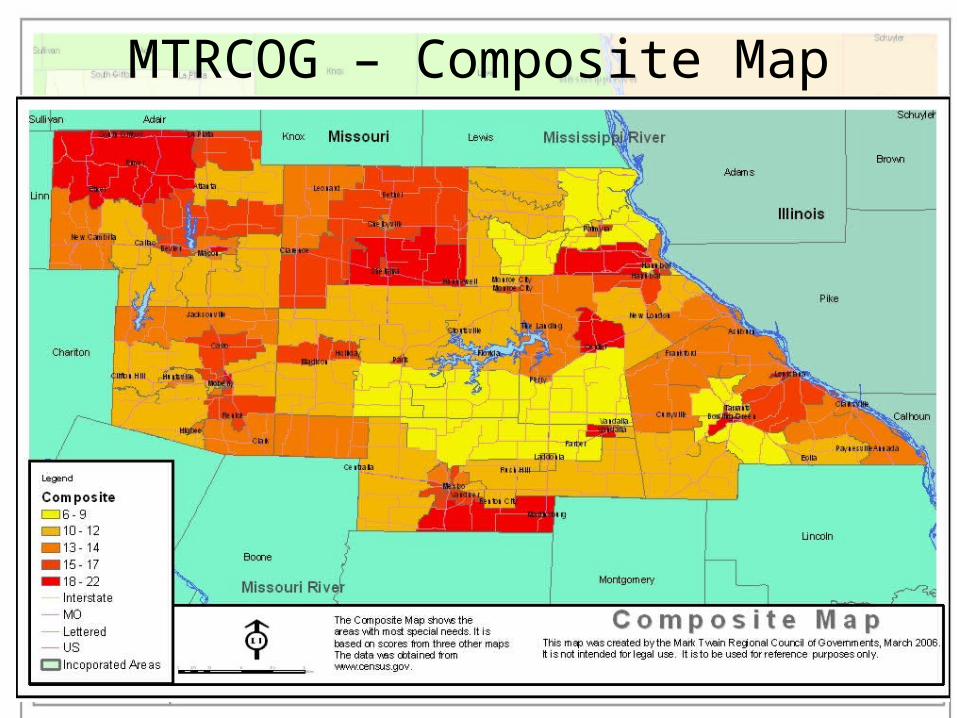
MTRCOG – Composite Map
Results of the Working Groups
• RTP map standards– Identified the layers for each map– Identified where to acquire the data
• Data provided by MoDOT (TMS)• Other data sources where identified by GIS working Group• MSDIS provided a web downloadable database for RPC’s to
use
– Identified symbology
• Provided directions for more technical operations
The Process Continues…..
• We are still in phase one
• Existing standards will need to be reviewed after phases one
• 2 more phases of the plan before it is complete
• More standards will need to be created
Positive Outcomes
• Consistency
• Comparability
• data compatibility
• open discussion
• increased GIS usage
• Created an overall better document
Questions??


