20
TRANSPORTATION FOR THE NATION (TFTN) US-DOT’s Strategic Planning Project Michael Terner [email protected]
| Date post: | 13-Jul-2015 |
| Category: |
Technology |
| Upload: | ksi-koniag |
| View: | 197 times |
| Download: | 0 times |
TRANSPORTATION FOR THE NATION
(TFTN)
US-DOT’s Strategic Planning Project
Michael Terner

Transportation

for the
NationRoad centerlines first
All States & Territories All Kinds of Roads

Many are doing it now
2009 TIGER/Line®

Enormous Duplication of Effort

Other Problems
Rural places may be ignored(or not prioritized)
Licensed data cannot be readily shared

Can’t we all just get along…
And agree that there’s a common baseline foundation that’s required?
Current geometry
Basic Attributes
Maybe addresses?
Maybe linear referencing system (LRS)?

Variety of stakeholders adds their own “special sauce” on top
TFTN: Common baseline foundation of geometry, basic attributes
State DOTs: Linear Referencing System (LRS)
State DOTs: advanced attributes
Private Sector: full routability and immersive imagery
USGS: Enhanced cartographic display and labeling
US Census: Polygon topology for census geographic units
State E911: Addresses
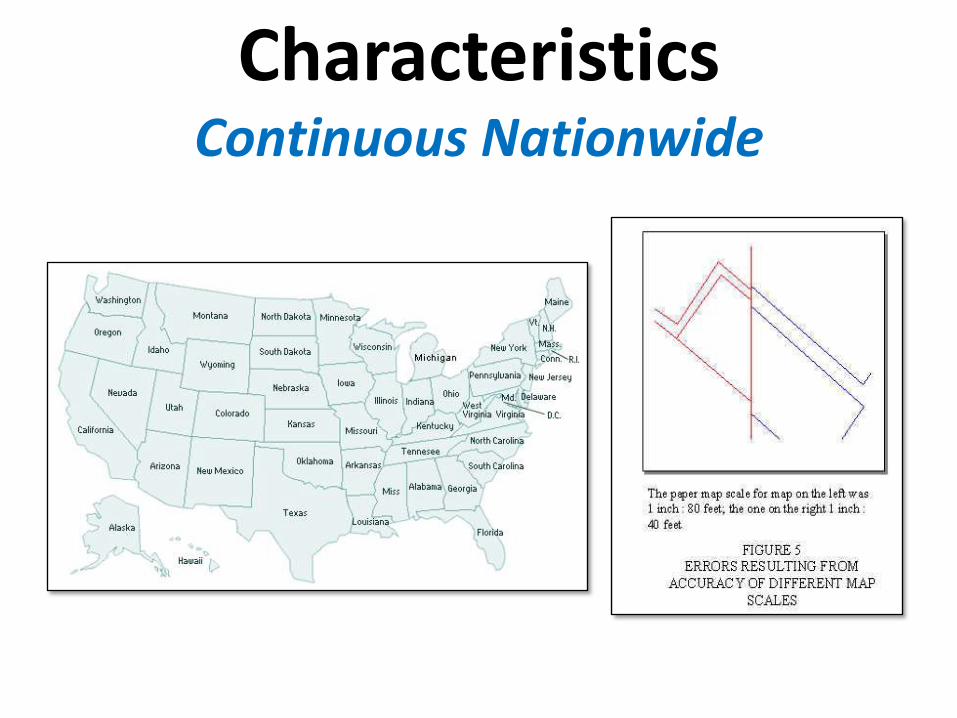
CharacteristicsContinuous Nationwide

CharacteristicsAll Roads

CharacteristicsPublic Domain

In order to try and figure this out, US-DOT is performing a Strategic Plan
Identify what you want and need
Figure out what you’re going to do about it
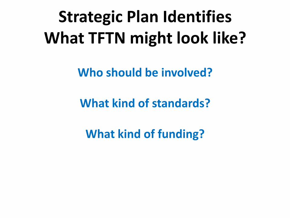
Strategic Plan Identifies What TFTN might look like?
Who should be involved?
What kind of standards?
What kind of funding?

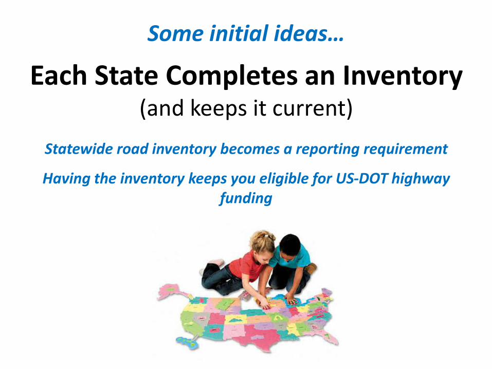
Some initial ideas…
Highway Performance Management System (HPMS)
Incentivizes Participation
Provides a recurring update cycle
Opens up the use of existing federal funding
Some initial ideas…
Each State Completes an Inventory(and keeps it current)
Statewide road inventory becomes a reporting requirement
Having the inventory keeps you eligible for US-DOT highway funding

How do states currently do it?Empower and work with the counties
Links with E911 funding

How do states currently do it?
Partner with the Private SectorNew York, Delaware, Massachusetts, etc.
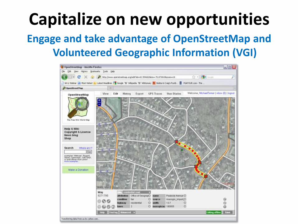
Capitalize on new opportunitiesEngage and take advantage of OpenStreetMap and
Volunteered Geographic Information (VGI)
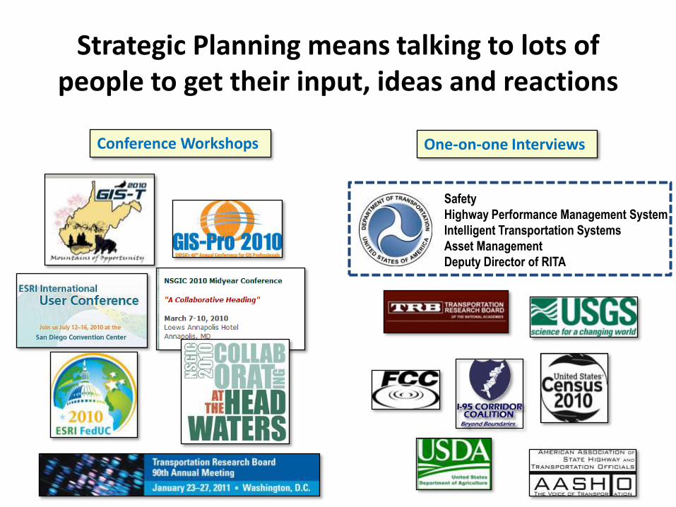
Strategic Planning means talking to lots of people to get their input, ideas and reactions
• Safety
• Highway Performance Management System
• Intelligent Transportation Systems
• Asset Management
• Deputy Director of RITA
Conference Workshops One-on-one Interviews

Help us figure it out
Wednesday, 2pm – 3:30pm Breakout Session
Share your ideas
React to our ideas


