Support for GOES Data Collection System Presentation to the Advisory Committee on Water Information by Charles Kazimir, Chairperson of the Satellite Telemetry Interagency Working Group (STIWG)
Transcript
Support for
GOES Data Collection System
Presentation to the
Advisory Committee on Water Information
by Charles Kazimir, Chairperson
of the
Satellite Telemetry Interagency Working
Group (STIWG)
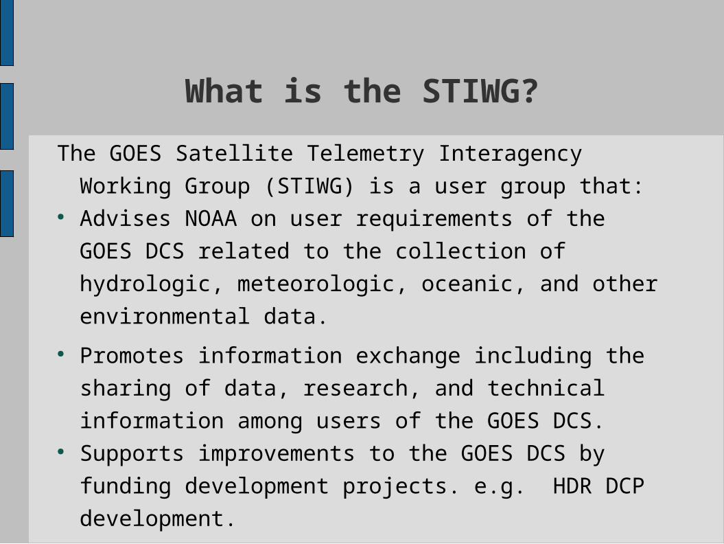
What is the STIWG?
The GOES Satellite Telemetry Interagency Working
Group (STIWG) is a user group that:● Advises NOAA on user requirements of the GOES
DCS related to the collection of hydrologic,
meteorologic, oceanic, and other environmental
data.
● Promotes information exchange including the
sharing of data, research, and technical information
among users of the GOES DCS.● Supports improvements to the GOES DCS by funding
development projects. e.g. HDR DCP development.
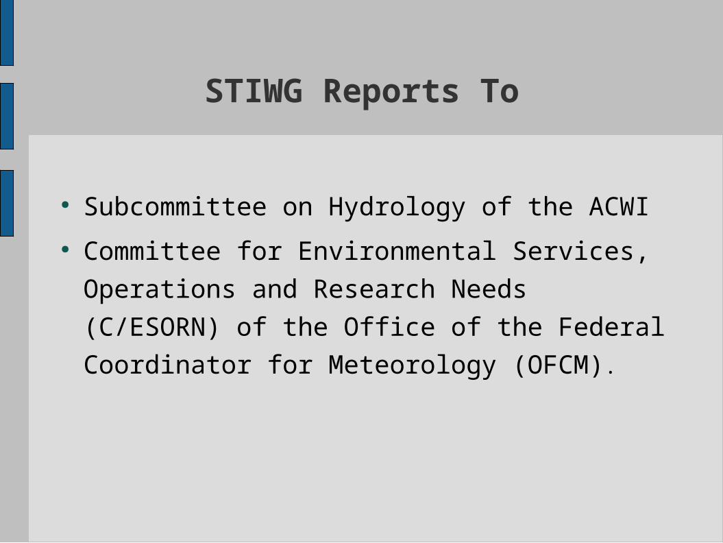
STIWG Reports To
● Subcommittee on Hydrology of the ACWI ● Committee for Environmental Services,
Operations and Research Needs (C/ESORN) of
the Office of the Federal Coordinator for
Meteorology (OFCM).
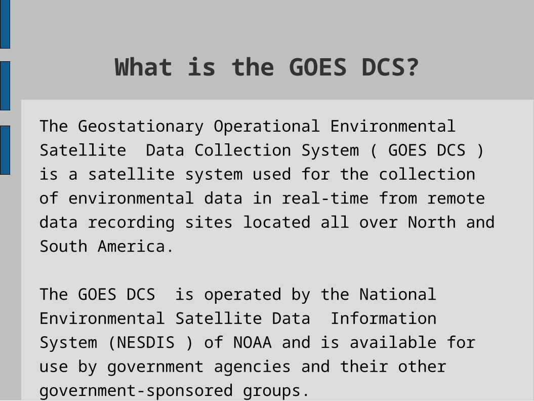
What is the GOES DCS?
The Geostationary Operational Environmental Satellite
Data Collection System ( GOES DCS ) is a satellite
system used for the collection of environmental data in
real-time from remote data recording sites located all
over North and South America.
The GOES DCS is operated by the National
Environmental Satellite Data Information System
(NESDIS ) of NOAA and is available for use by
government agencies and their other government-
sponsored groups.
GOES DCS as a Critical System
The GOES DCS started as an experimental system for
collecting real-time data without formal support.
It has evolved into a critical system that has become
the backbone of many agencies' real-time data
collection systems.
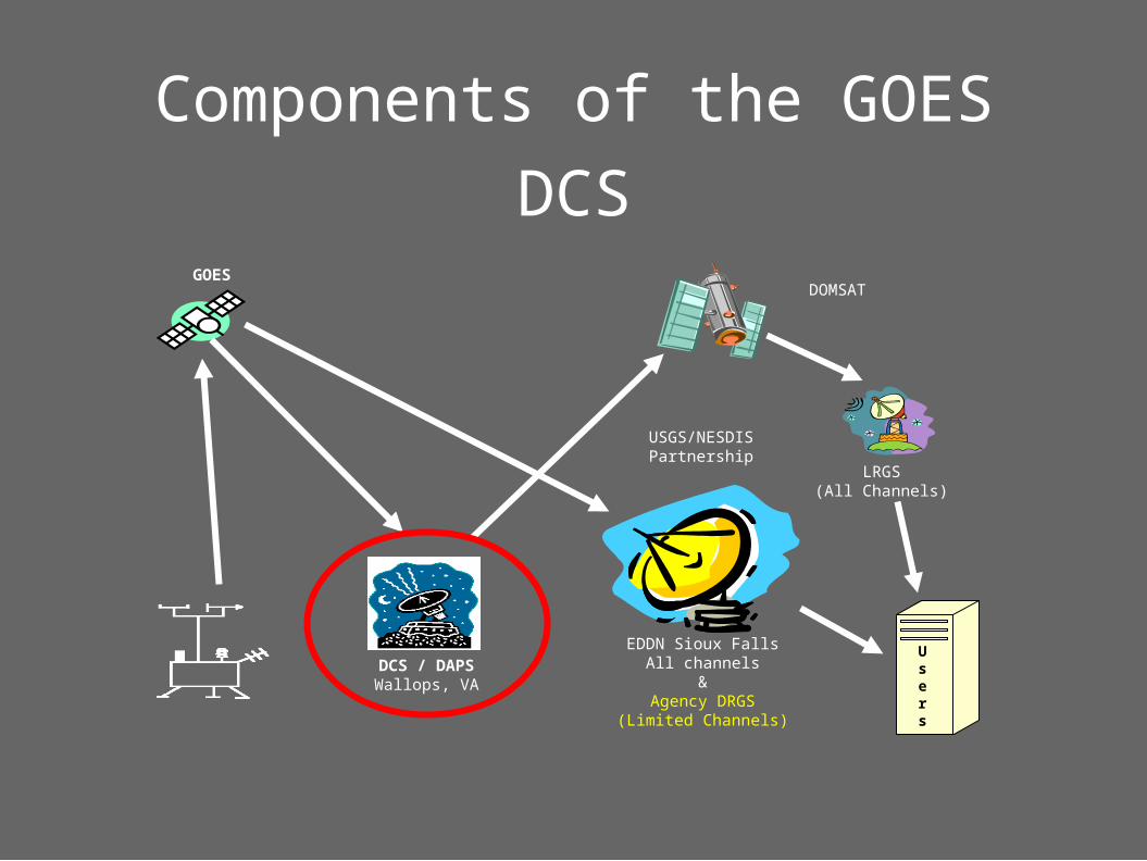
Components of the GOES DCS
GOESDOMSAT
LRGS(All Channels)
Users
DCS / DAPSWallops, VA
EDDN Sioux FallsAll channels
&Agency DRGS
(Limited Channels)
USGS/NESDISPartnership
How important is the GOES DCS?
● The GOES DCS is used extensively by numerous Federal, State, and local governments as well as by private organizations to provide current information about hydrologic, meteorologic, and oceanic conditions.
● The GOES DCS provides a system that allows the extensive sharing of real-time data among many different users of environmental data who have diverse requirements.
Importance of real-time data
collected using GOES DCSReal-time data obtained from remote sites using the GOES Data Collection System help protect the lives and property of citizens throughout the U.S. and much of the Western hemisphere during fires, floods, hurricanes, tsunamis, and other natural disasters or severe conditions
Real-time data are used during critical hydrologic events for such things as flood forecasting, fire management, tsunami warning, etc.
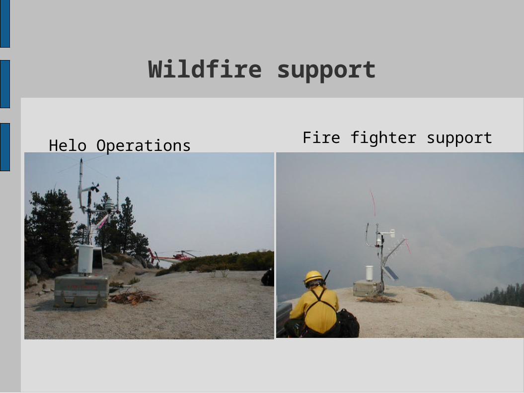
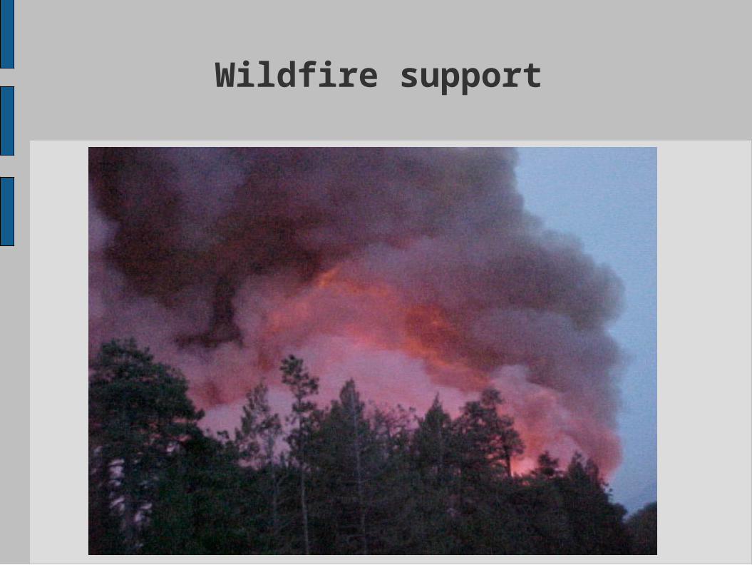
Wildfire support
Helo Operations Fire fighter support
Wildfire support
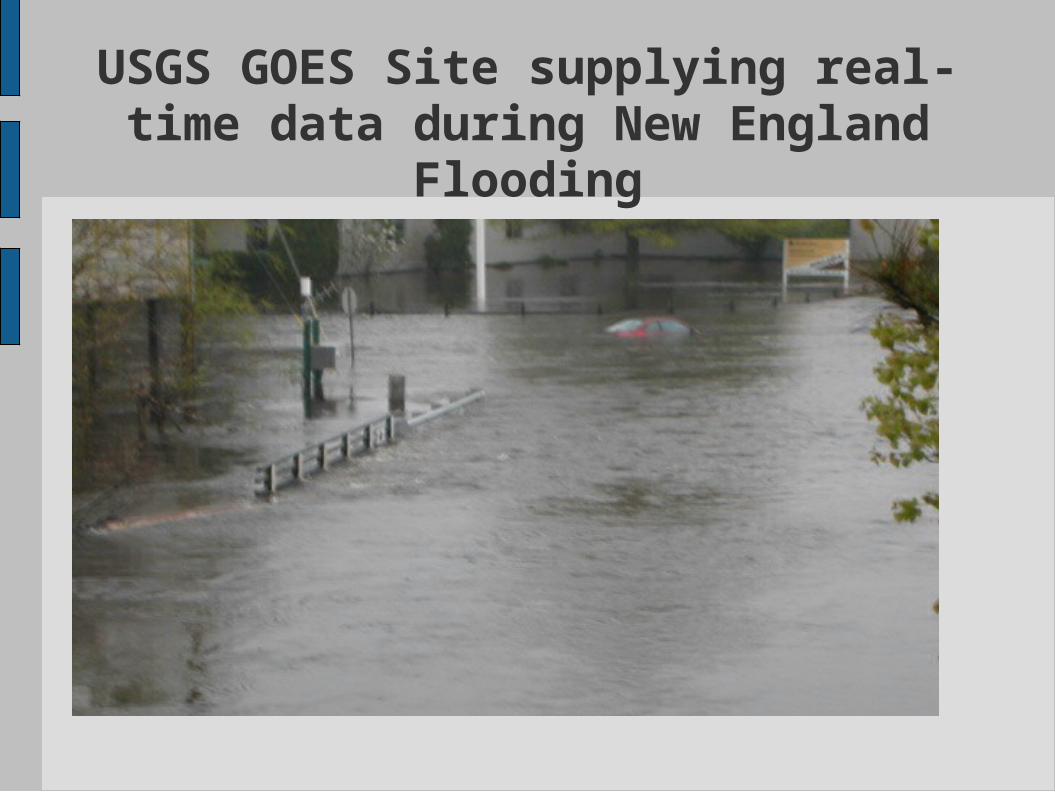
USGS GOES Site supplying real-time data during New England
Flooding
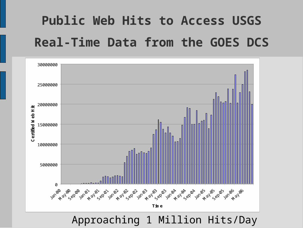
Public Web Hits to Access USGS
Real-Time Data from the GOES DCS
0
5000000
10000000
15000000
20000000
25000000
30000000
Time
Ce
rtif
ied
We
b H
its
Approaching 1 Million Hits/Day
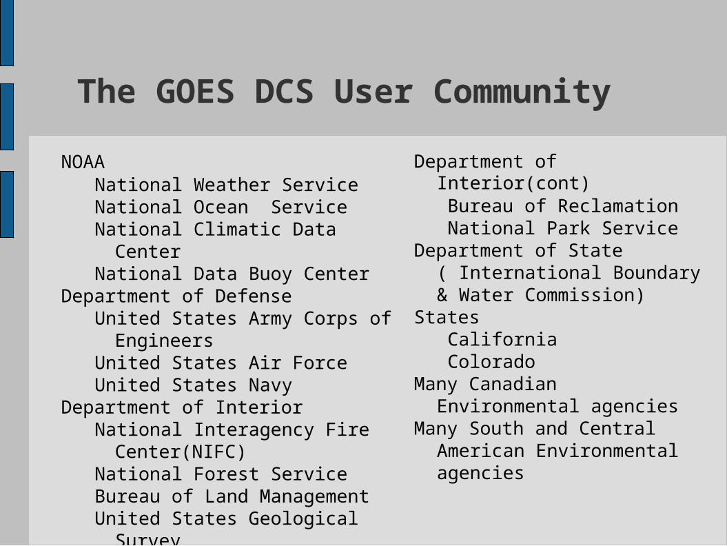
The GOES DCS User Community
NOAANational Weather Service National Ocean ServiceNational Climatic Data CenterNational Data Buoy Center
Department of DefenseUnited States Army Corps of
EngineersUnited States Air ForceUnited States Navy
Department of InteriorNational Interagency Fire
Center(NIFC)National Forest ServiceBureau of Land ManagementUnited States Geological
Survey
Department of Interior(cont)Bureau of ReclamationNational Park Service
Department of State ( International Boundary & Water Commission)
StatesCaliforniaColorado
Many Canadian Environmental agencies
Many South and Central American Environmental agencies
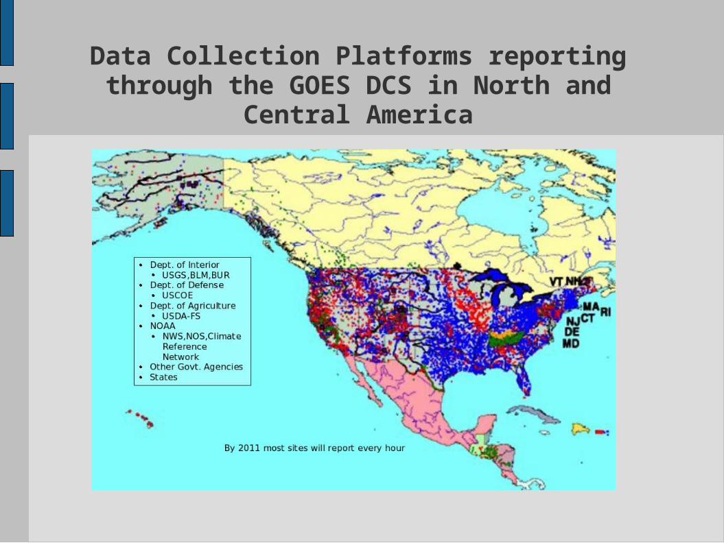
Data Collection Platforms reporting through the GOES DCS in North and
Central America
Why is the STIWG concerned
about the GOES DCS?● No formal commitment by NOAA to operate the
GOES DCS.● For a system this important, the current GOES DCS
has vulnerabilities that need to be addressed. Processing system is in need of major upgrades. Reception system at Wallops Island has no
backup. COO plan is not comprehensive.
● GOES DCS is considered an ancillary system which
means certain types of failures could be tolerated by
NOAA.
What this indicates to the STIWG
The STIWG members believe that, institutionally,
NOAA/NESDIS does not fully appreciate the importance
of this system for environmental monitoring.
What the STIWG has done to
mitigate some of the concerns
Hardware upgrades to reception system Contributed funding to upgrade some components
of the system.
Backup system Started the development of an Emergency Data
Distribution Network (EDDN) at the Center for
EROS in Sioux Falls, South Dakota.● System will include a receive system for both
GOES East and West satellites● System will be operated by USGS with support
from NESDIS and other STIWG agencies.
Why this is not enough
● No formalformal commitment to continue the operations
of the GOES DCS.● No known formal GOES DCS strategic plan for the
continued operations of the GOES DCS including System upgrades Funding support
● No clear strategy for mitigating the effects of the
failure of critical components.
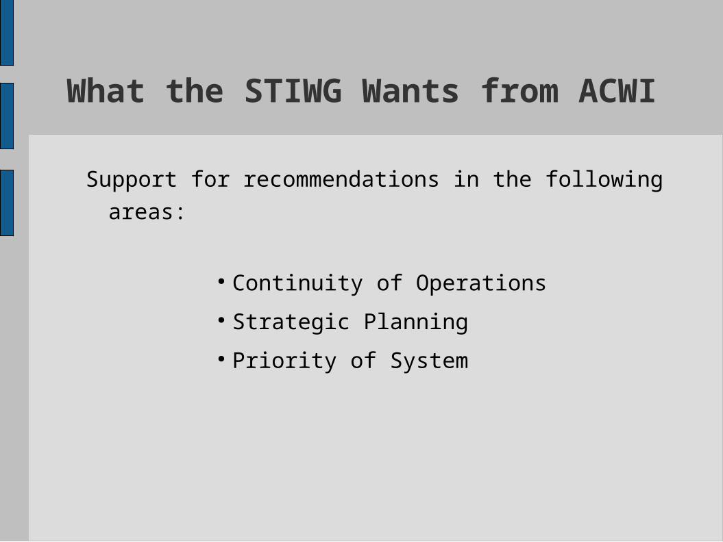
What the STIWG Wants from
ACWI
Support for recommendations in the following areas:
● Continuity of Operations
● Strategic Planning
● Priority of System
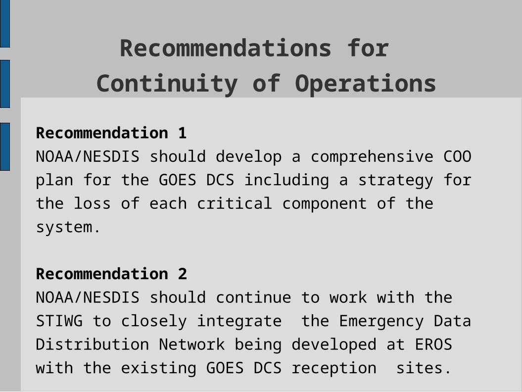
Recommendations for
Continuity of Operations
Recommendation 1
NOAA/NESDIS should develop a comprehensive COO
plan for the GOES DCS including a strategy for the loss
of each critical component of the system.
Recommendation 2
NOAA/NESDIS should continue to work with the STIWG
to closely integrate the Emergency Data Distribution
Network being developed at EROS with the existing
GOES DCS reception sites.
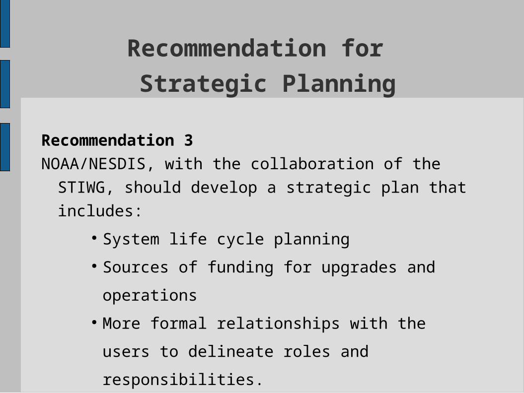
Recommendation for
Strategic Planning
Recommendation 3
NOAA/NESDIS, with the collaboration of the STIWG,
should develop a strategic plan that includes:
● System life cycle planning
● Sources of funding for upgrades and
operations
● More formal relationships with the users to
delineate roles and responsibilities.
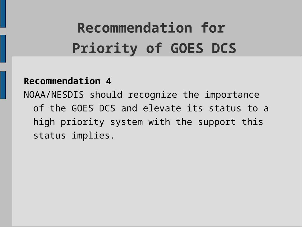
Recommendation for
Priority of GOES DCS
Recommendation 4
NOAA/NESDIS should recognize the importance of the
GOES DCS and elevate its status to a high priority
system with the support this status implies.
Summary
● The STIWG believes that the GOES DCS has been and
continues to be an essential resource for real-time
data collection.● Agencies have made large investments in internal
systems that absolutely depend on it.● The extended loss of data from the GOES DCS would
adversely effect the nation’s ability to forecast floods,
effectively operate flood-control dams and levees, or
issue flood warnings and evacuation notices.● The GOES DCS needs to be treated as a high-priority
system within NOAA.
Conclusion
● The GOES DCS has operated well but as a background
system that many praise and all assume will always be
there.
● However, operationally it is still viewed as a low-priority
system and has vulnerabilities that need attention.
● The ACWI, by supporting the STIWG's recommendations,
will greatly assist in beginning the development of the
necessary support for the GOES DCS to insure that it will