3
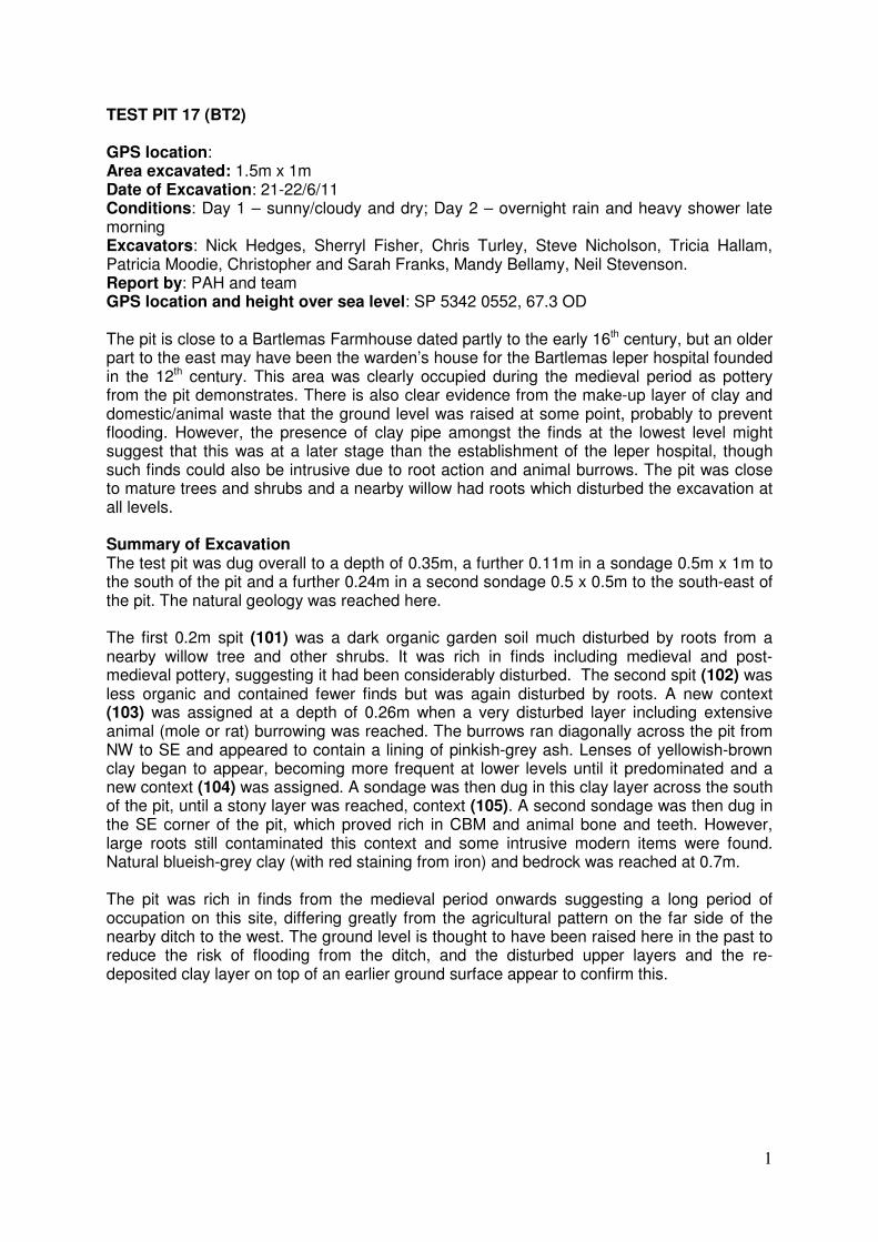
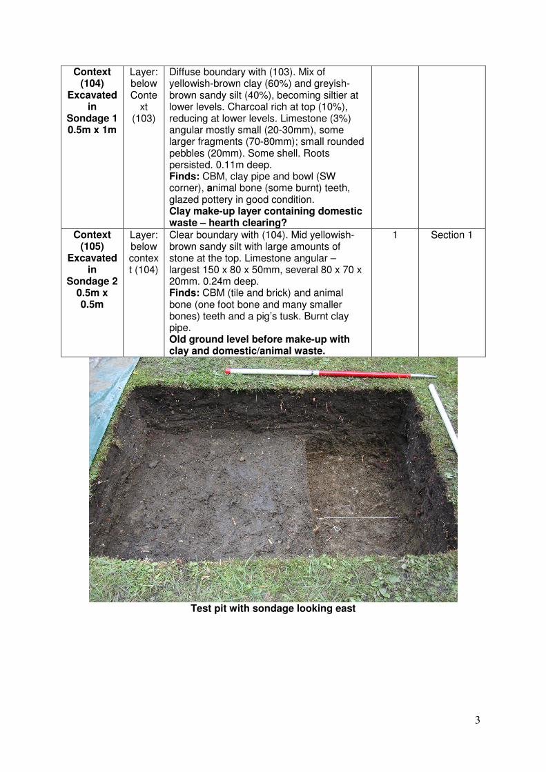
1 TEST PIT 17 (BT2) GPS location: Area excavated: 1.5m x 1m Date of Excavation: 21-22/6/11 Conditions: Day 1 – sunny/cloudy and dry; Day 2 – overnight rain and heavy shower late morning Excavators: Nick Hedges, Sherryl Fisher, Chris Turley, Steve Nicholson, Tricia Hallam, Patricia Moodie, Christopher and Sarah Franks, Mandy Bellamy, Neil Stevenson. Report by: PAH and team GPS location and height over sea level: SP 5342 0552, 67.3 OD The pit is close to a Bartlemas Farmhouse dated partly to the early 16 th century, but an older part to the east may have been the warden’s house for the Bartlemas leper hospital founded in the 12 th century. This area was clearly occupied during the medieval period as pottery from the pit demonstrates. There is also clear evidence from the make-up layer of clay and domestic/animal waste that the ground level was raised at some point, probably to prevent flooding. However, the presence of clay pipe amongst the finds at the lowest level might suggest that this was at a later stage than the establishment of the leper hospital, though such finds could also be intrusive due to root action and animal burrows. The pit was close to mature trees and shrubs and a nearby willow had roots which disturbed the excavation at all levels. Summary of Excavation The test pit was dug overall to a depth of 0.35m, a further 0.11m in a sondage 0.5m x 1m to the south of the pit and a further 0.24m in a second sondage 0.5 x 0.5m to the south-east of the pit. The natural geology was reached here. The first 0.2m spit (101) was a dark organic garden soil much disturbed by roots from a nearby willow tree and other shrubs. It was rich in finds including medieval and post- medieval pottery, suggesting it had been considerably disturbed. The second spit (102) was less organic and contained fewer finds but was again disturbed by roots. A new context (103) was assigned at a depth of 0.26m when a very disturbed layer including extensive animal (mole or rat) burrowing was reached. The burrows ran diagonally across the pit from NW to SE and appeared to contain a lining of pinkish-grey ash. Lenses of yellowish-brown clay began to appear, becoming more frequent at lower levels until it predominated and a new context (104) was assigned. A sondage was then dug in this clay layer across the south of the pit, until a stony layer was reached, context (105). A second sondage was then dug in the SE corner of the pit, which proved rich in CBM and animal bone and teeth. However, large roots still contaminated this context and some intrusive modern items were found. Natural blueish-grey clay (with red staining from iron) and bedrock was reached at 0.7m. The pit was rich in finds from the medieval period onwards suggesting a long period of occupation on this site, differing greatly from the agricultural pattern on the far side of the nearby ditch to the west. The ground level is thought to have been raised here in the past to reduce the risk of flooding from the ditch, and the disturbed upper layers and the re- deposited clay layer on top of an earlier ground surface appear to confirm this.