+ All Categories
Home > Documents > The Carolinas Coastal Ocean Observing and Prediction System (Caro-COOPS) Funded by the National...

The Carolinas Coastal Ocean Observing and Prediction System (Caro-COOPS) Funded by the National...

Date post: 20-Dec-2015
Category:
View: 214 times
Download: 0 times
Share this document with a friend
Popular Tags:
13
The Carolinas Coastal Ocean The Carolinas Coastal Ocean Observing and Prediction Observing and Prediction System System ( ( Caro-COOPS Caro-COOPS ) ) Funded by the National Oceanic And Atmospheric Administration A partnership among the University of South Carolina, North Carolina State University, & the University of North Carolina- Wilmington
Transcript

The Carolinas Coastal Ocean The Carolinas Coastal Ocean Observing and Prediction SystemObserving and Prediction System

((Caro-COOPSCaro-COOPS))

Funded by theNational Oceanic And Atmospheric Administration

A partnership among theUniversity of South Carolina,

North Carolina State University, & the University of North Carolina-Wilmington

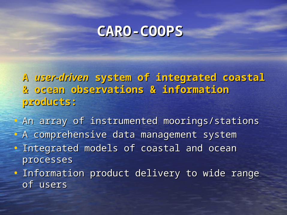
CARO-CARO-COOPSCOOPS

A A user-drivenuser-driven system of integrated system of integrated coastal & ocean observations & coastal & ocean observations & information products: information products:

• An array of instrumented moorings/stationsAn array of instrumented moorings/stations

• A comprehensive data management systemA comprehensive data management system

• Integrated models of coastal and ocean processesIntegrated models of coastal and ocean processes

• Information product delivery to wide range of Information product delivery to wide range of usersusers

Instrumentation for Near Real-Instrumentation for Near Real-Time Observations…Time Observations…

Instrumented moorings (4)Instrumented moorings (4)- Current velocity & direction, wave height - Current velocity & direction, wave height

& direction, temperature, salinity, & direction, temperature, salinity, pressure, chlorophyll; & meteorological pressure, chlorophyll; & meteorological datadata

- ADCP (Workhorse); Seacats; WeatherPaks- ADCP (Workhorse); Seacats; WeatherPaks

Water level/meteorological stations Water level/meteorological stations (3)(3)

- Supplement NOAA NWLON, NDBC, & C-- Supplement NOAA NWLON, NDBC, & C-MAN stationsMAN stations

- Aquatrak Assembly- Aquatrak Assembly

Long Bay StationsLong Bay Stations

• Pier-Based Station (Sunset Beach)Pier-Based Station (Sunset Beach)

– Water level, temperature @ 2.5 feet off bottom Water level, temperature @ 2.5 feet off bottom (16’ high tide depth)(16’ high tide depth)

– Winds, air temp & pressure, humidityWinds, air temp & pressure, humidity

• Nearshore Station (10 m depth, ~ 2.9 miles)Nearshore Station (10 m depth, ~ 2.9 miles)

– ADCPADCP: Current speed & direction; wave height, : Current speed & direction; wave height, period, directionperiod, direction

– Seacat + PSeacat + P: Water level; temperature and salinity : Water level; temperature and salinity near bottom near bottom

– WeatherpakWeatherpak: Wind speed, gust, direction, air temp, : Wind speed, gust, direction, air temp, air pressure, relative humidity, solar radiationair pressure, relative humidity, solar radiation

Long Bay StationsLong Bay Stations

• Offshore Station (30 m depth, ~ 45 miles)Offshore Station (30 m depth, ~ 45 miles)

– Coming SoonComing Soon

– ADCPADCP: Current speed & direction; wave height, period, : Current speed & direction; wave height, period, directiondirection

– Seacat + PSeacat + P: Water level; temperature & salinity @ bottom: Water level; temperature & salinity @ bottom

– Seacat + FLSeacat + FL: Water temp, salinity, chlorophyll near : Water temp, salinity, chlorophyll near surfacesurface

• Sampling @ 15 min. intervals, moorings report ~ Sampling @ 15 min. intervals, moorings report ~ 1.5 hr1.5 hr

• Continuous records downloaded during Continuous records downloaded during redeploymentsredeployments

www.carocoops.org

Integrated Ocean & Coastal ModelingIntegrated Ocean & Coastal ModelingCoastal/Estuarine Modeling & Environmental Prediction SystemCoastal/Estuarine Modeling & Environmental Prediction System

(CEMEPS)(CEMEPS)

Unique features:Unique features:• 3-dimensional circulation model3-dimensional circulation model

• Incorporates precipitation/runoff/river Incorporates precipitation/runoff/river dischargedischarge

• Offshore wave field forecasts (coming Offshore wave field forecasts (coming soon)soon)

• Can incorporate real-time Can incorporate real-time meteorological & oceanographic meteorological & oceanographic measures from Caro-COOPSmeasures from Caro-COOPS

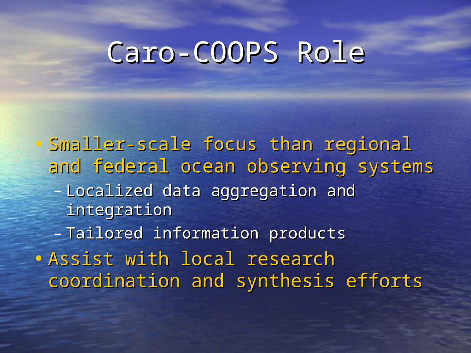
Caro-COOPS RoleCaro-COOPS Role

• Smaller-scale focus than regional and Smaller-scale focus than regional and federal ocean observing systemsfederal ocean observing systems– Localized data aggregation and Localized data aggregation and

integrationintegration– Tailored information productsTailored information products

• Assist with local research Assist with local research coordination and synthesis effortscoordination and synthesis efforts

Contact info…Contact info…

• Please visit http://www.caro-coops.org/Please visit http://www.caro-coops.org/

– Madilyn Fletcher, Principal InvestigatorMadilyn Fletcher, Principal Investigator•[email protected]@biol.sc.edu

– Dwayne Porter, Data ManagementDwayne Porter, Data Management•[email protected]@sc.edu

– Braxton Davis, OutreachBraxton Davis, Outreach•[email protected]@sc.edu

– Becky Shuford, Fisheries OceanographyBecky Shuford, Fisheries Oceanography•New arrival!New arrival!


Recommended