NOAA Office for Coastal Management Location: Charleston, Oregon, on the South Slough of the Coos Bay estuary Date Designated: 1974 Area Protected: 4,771 acres Web Address: oregon.gov/DSL/SS/Pages/About.aspx Management: Daily oversight is provided by the Oregon Department of State Lands. NOAA’s Office for Coastal Management provides funding, national guidance, and technical assistance. Access and Infrastructure • The South Slough Interpretive Center includes a variety of exhibits, an auditorium, a classroom, and a bookstore operated by the Friends of South Slough Reserve. • From the interpretive center, visitors can explore a short nature trail or hike to the slough via several longer trails. The North Creek Trail descends through a temperate rainforest and connects to the opposite side of a sloughside marsh; Hidden Creek Trail meanders through the riparian area of Hidden Creek and crosses a boardwalk over a freshwater swamp and salt marsh; and Big Cedar Trail takes visitors through the forest and out to an overlook platform for a scenic view of the slough. The south entrance to the reserve provides access to more trails, which feature a number of former homestead sites. • The reserve includes paddle trails and uses a large, multi-passenger canoe for children’s and community education programs. The South Slough National Estuarine Research Reserve protects both upland and lowland habitats. The uplands are characterized by steep slopes that support forests and stream systems that supply fresh water to the estuary. The lowlands contain freshwater wetlands and ponds, salt marshes and islands, sand and mud flats, and eelgrass beds. Habitats found within the reserve support salmon and other native fish, herons, bald eagles, migrating waterfowl, elk, river otters, beavers, oysters, and crabs. Through long-term research and monitoring, the reserve works to understand watershed processes and ecological communities, while examining the effects of invasive species and climate change on estuarine habitats. The reserve also promotes estuary protection through numerous educational, training, and outreach programs. South Slough National Estuarine Research Reserve
Transcript
NOAA Office for Coastal Management
Location: Charleston, Oregon, on the South Slough of the Coos Bay estuary
Date Designated: 1974
Area Protected: 4,771 acres
Web Address: oregon.gov/DSL/SS/Pages/About.aspx
Management: Daily oversight is provided by the Oregon Department of State Lands. NOAA’s Office for Coastal Management provides funding, national guidance, and technical assistance.
Access and Infrastructure
• The South Slough Interpretive Center includes a variety of exhibits, an auditorium, a classroom, and a bookstore operated by the Friends of South Slough Reserve.
• From the interpretive center, visitors can explore a short nature trail or hike to the slough via several longer trails. The North Creek Trail descends through a temperate rainforest and connects to the opposite side of a sloughside marsh; Hidden Creek Trail meanders through the riparian area of Hidden Creek and crosses a boardwalk over a freshwater swamp and salt marsh; and Big Cedar Trail takes visitors through the forest and out to an overlook platform for a scenic view of the slough. The south entrance to the reserve provides access to more trails, which feature a number of former homestead sites.
• The reserve includes paddle trails and uses a large, multi-passenger canoe for children’s and community education programs.
The South Slough National Estuarine Research Reserve protects both upland and lowland habitats. The uplands are characterized by steep slopes that support forests and stream systems that supply fresh water to the estuary. The lowlands contain freshwater wetlands and ponds, salt marshes and islands, sand and mud flats, and eelgrass beds. Habitats found within the reserve support salmon and other native fish, herons, bald eagles, migrating waterfowl, elk, river otters, beavers, oysters, and crabs.
Through long-term research and monitoring, the reserve works to understand watershed processes and ecological communities, while examining the effects of invasive species and climate change on estuarine habitats. The reserve also promotes estuary protection through numerous educational, training, and outreach programs.
South SloughNational Estuarine Research Reserve
SOUTH SLOUGHNational Estuarine Research Reserve
Office for Coastal Management
Interesting Things to Know• This reserve was the first site in the National Estuarine Research
Reserve System.
• South Slough has been inhabited for thousands of years, since the Miluk people settled in the area. Remnants of their civilization, including fishing traps, remain today, and tribal members continue to be engaged with the reserve.
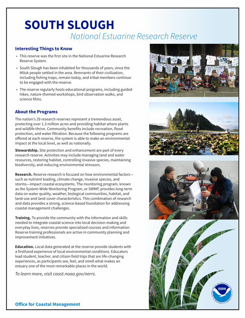
• The reserve regularly hosts educational programs, including guided hikes, nature-themed workshops, bird observation walks, and science films.
About the ProgramsThe nation’s 29 research reserves represent a tremendous asset, protecting over 1.3 million acres and providing habitat where plants and wildlife thrive. Community benefits include recreation, flood protection, and water filtration. Because the following programs are offered at each reserve, the system is able to make an environmental impact at the local level, as well as nationally.
Stewardship. Site protection and enhancement are part of every research reserve. Activities may include managing land and water resources, restoring habitat, controlling invasive species, maintaining biodiversity, and reducing environmental stressors. Research. Reserve research is focused on how environmental factors—such as nutrient loading, climate change, invasive species, and storms—impact coastal ecosystems. The monitoring program, known as the System-Wide Monitoring Program, or SWMP, provides long-term data on water quality, weather, biological communities, habitat, and land-use and land-cover characteristics. This combination of research and data provides a strong, science-based foundation for addressing coastal management challenges. Training. To provide the community with the information and skills needed to integrate coastal science into local decision-making and everyday lives, reserves provide specialized courses and information. Reserve training professionals are active in community planning and improvement initiatives. Education. Local data generated at the reserve provide students with a firsthand experience of local environmental conditions. Educators lead student, teacher, and citizen field trips that are life-changing experiences, as participants see, feel, and smell what makes an estuary one of the most remarkable places in the world.