Woodland manors By the 12th century a hierarchy of farmers and land owners had become established. Cecilia de Hatchewood owned Coneywood to the southwest of March where a Hatchwood Farm still stands. The land around ‘Hatchewoods’ was a large common divided into strips for farming. Mature hedges now grow along the old access roads to the fields as they do down Linwood Lane, the route later taken by the Huntingdon to Kings Lynn stage coach. John Peyton owned the Manor of Eastwood where Neale-Wade College now stands and added to this Southwood, which he bought from Reading Abbey. All that remains of the wild woods line the green lanes of Workhouse Drove and Linwood Lane, while St Wendreda’s Church recalls that ancient boundary village in the marsh. Cecilia de Hatchewood and John Peyton have surrendered their woodland estates to the new housing estates of March, but the wonderful spring blossoms of hawthorn, blackberry, elderberry and dog rose. The brilliant red, orange and blackberries of autumn will unlock March’s woodland past as you walk the Woodman’s Way. Woodman’s Way www.cambridgeshire.gov.uk The Wimblington • March be a Fens Adventurer! Blackberry
Transcript
Woodland manorsBy the 12th century a hierarchy of farmers and land ownershad become established. Cecilia de Hatchewood ownedConeywood to the southwest of March where a HatchwoodFarm still stands. The land around ‘Hatchewoods’ was alarge common divided into strips for farming. Maturehedges now grow along the old access roads to the fieldsas they do down Linwood Lane, the route later taken by theHuntingdon to Kings Lynn stage coach. John Peyton ownedthe Manor of Eastwood where Neale-Wade College nowstands and added to this Southwood, which he bought fromReading Abbey.
All that remains of the wild woods line the green lanes ofWorkhouse Drove and Linwood Lane, while St Wendreda’sChurch recalls that ancient boundary village in the marsh.Cecilia de Hatchewood and John Peyton have surrenderedtheir woodland estates to the new housing estates ofMarch, but the wonderful spring blossoms of hawthorn,blackberry, elderberry and dog rose. The brilliant red,orange and blackberries of autumn will unlock March’swoodland past as you walk the Woodman’s Way.
Woodman’s Way
www.cambridgeshire.gov.uk
The
Wimblington • Marchbe a Fens Adventurer!
Blackberry
Thatched cottagesin Wimblington
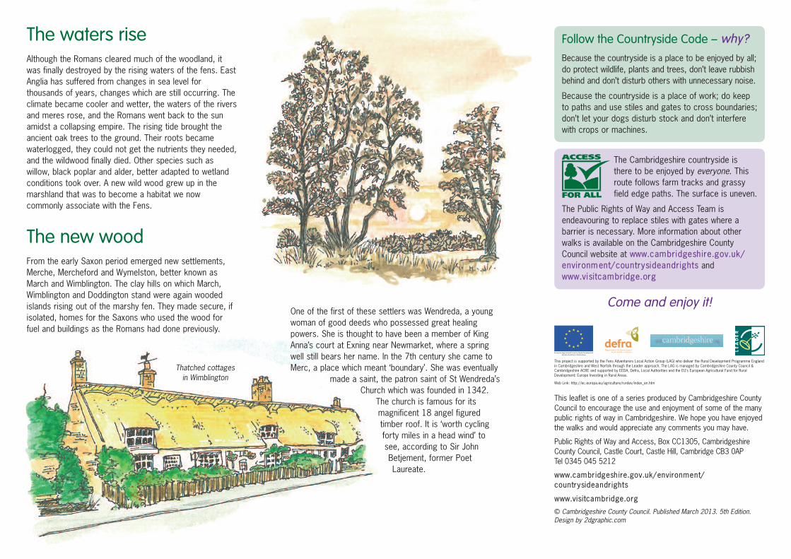
The waters riseAlthough the Romans cleared much of the woodland, itwas finally destroyed by the rising waters of the fens. EastAnglia has suffered from changes in sea level forthousands of years, changes which are still occurring. Theclimate became cooler and wetter, the waters of the riversand meres rose, and the Romans went back to the sunamidst a collapsing empire. The rising tide brought theancient oak trees to the ground. Their roots becamewaterlogged, they could not get the nutrients they needed,and the wildwood finally died. Other species such aswillow, black poplar and alder, better adapted to wetlandconditions took over. A new wild wood grew up in themarshland that was to become a habitat we nowcommonly associate with the Fens.
The new woodFrom the early Saxon period emerged new settlements,Merche, Mercheford and Wymelston, better known asMarch and Wimblington. The clay hills on which March,Wimblington and Doddington stand were again woodedislands rising out of the marshy fen. They made secure, ifisolated, homes for the Saxons who used the wood forfuel and buildings as the Romans had done previously.
One of the first of these settlers was Wendreda, a youngwoman of good deeds who possessed great healingpowers. She is thought to have been a member of KingAnna’s court at Exning near Newmarket, where a springwell still bears her name. In the 7th century she came toMerc, a place which meant ‘boundary’. She was eventually
made a saint, the patron saint of St Wendreda’sChurch which was founded in 1342.
The church is famous for itsmagnificent 18 angel figuredtimber roof. It is ‘worth cyclingforty miles in a head wind’ tosee, according to Sir JohnBetjement, former PoetLaureate.
This leaflet is one of a series produced by Cambridgeshire CountyCouncil to encourage the use and enjoyment of some of the manypublic rights of way in Cambridgeshire. We hope you have enjoyedthe walks and would appreciate any comments you may have.
Public Rights of Way and Access, Box CC1305, CambridgeshireCounty Council, Castle Court, Castle Hill, Cambridge CB3 0AP Tel 0345 045 5212
The Cambridgeshire countryside isthere to be enjoyed by everyone. Thisroute follows farm tracks and grassyfield edge paths. The surface is uneven.
The Public Rights of Way and Access Team isendeavouring to replace stiles with gates where abarrier is necessary. More information about otherwalks is available on the Cambridgeshire CountyCouncil website at www.cambridgeshire.gov.uk/environment/countrysideandrights andwww.visitcambridge.org
Come and enjoy it!
Follow the Countryside Code – why?
Because the countryside is a place to be enjoyed by all;do protect wildlife, plants and trees, don’t leave rubbishbehind and don’t disturb others with unnecessary noise.
Because the countryside is a place of work; do keepto paths and use stiles and gates to cross boundaries;don’t let your dogs disturb stock and don’t interferewith crops or machines.
This project is supported by the Fens Adventurers Local Action Group (LAG) who deliver the Rural Development Programme Englandin Cambridgeshire and West Norfolk through the Leader approach. The LAG is managed by Cambridgeshire County Council &Cambridgeshire ACRE and supported by EEDA, Defra, Local Authorities and the EU’s European Agricultural Fund for RuralDevelopment: Europe Investing in Rural Areas.
Web Link: http://ec.europa.eu/agriculture/rurdev/index_en.htm
The Woodman’s WayCircular route 6.5 milesAllow approximately 3 hours
All is not what it seems in the Fens, often portrayed as aland of fog, mist and marsh. Distant horizons blend intoimmense and changing skies which once looked downonto the wooded islands of March and Wimblington. Thiswalk will take you through these ‘woods’ recognised nowby local place names – Eastwood, Linwood, Hatchwoodand Coneywood.
To follow the Woodman’s Way you have to take an evenlonger journey back in time - before the railways whichmade March famous, before Hereward the Wake made theflooded fens his retreat from the invading Normans, andbefore St Wendreda came to March. Imagine a landoccupied not by the ancient Britons but invaders settlingdown to earn a living from their newly conquered land.They cleared the ancient oak, elm, lime and ashwoodlands to farm the rich soils and to build homes onstone foundations.
How to get thereBy train Nearest station is March
National Rail Inquiries 08457 484950
By bus Frequent buses to March and Wimblingtonwww.cambridgeshire.gov.uk/transport/around/buses
By road March and Wimblington are both accessedfrom the A141
Inquiries Cambridgeshire County Council PassengerTransport Inquiries tel 0345 045 0675
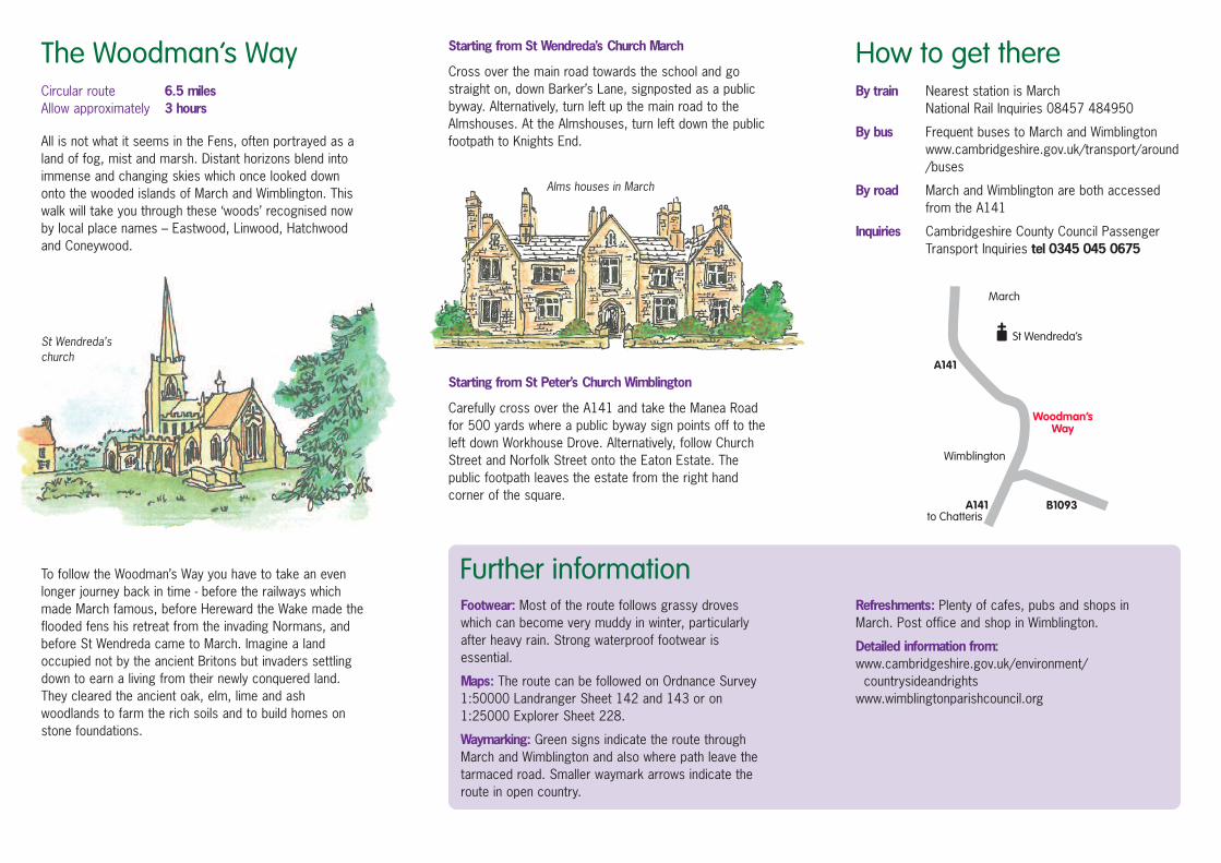
Starting from St Wendreda’s Church March
Cross over the main road towards the school and gostraight on, down Barker’s Lane, signposted as a publicbyway. Alternatively, turn left up the main road to theAlmshouses. At the Almshouses, turn left down the publicfootpath to Knights End.
Starting from St Peter’s Church Wimblington
Carefully cross over the A141 and take the Manea Roadfor 500 yards where a public byway sign points off to theleft down Workhouse Drove. Alternatively, follow ChurchStreet and Norfolk Street onto the Eaton Estate. Thepublic footpath leaves the estate from the right handcorner of the square.
Footwear: Most of the route follows grassy droveswhich can become very muddy in winter, particularlyafter heavy rain. Strong waterproof footwear isessential.
Maps: The route can be followed on Ordnance Survey1:50000 Landranger Sheet 142 and 143 or on1:25000 Explorer Sheet 228.
Waymarking: Green signs indicate the route throughMarch and Wimblington and also where path leave thetarmaced road. Smaller waymark arrows indicate theroute in open country.
Refreshments: Plenty of cafes, pubs and shops inMarch. Post office and shop in Wimblington.
Detailed information from:www.cambridgeshire.gov.uk/environment/countrysideandrights