34
Tim Waters Open Historical Maps Putting a map library on the net http://thinkwhere.wordpress.com @tim_waters
| Date post: | 30-Dec-2015 |
| Category: |
Documents |
| Upload: | gordon-hubbard |
| View: | 215 times |
| Download: | 0 times |
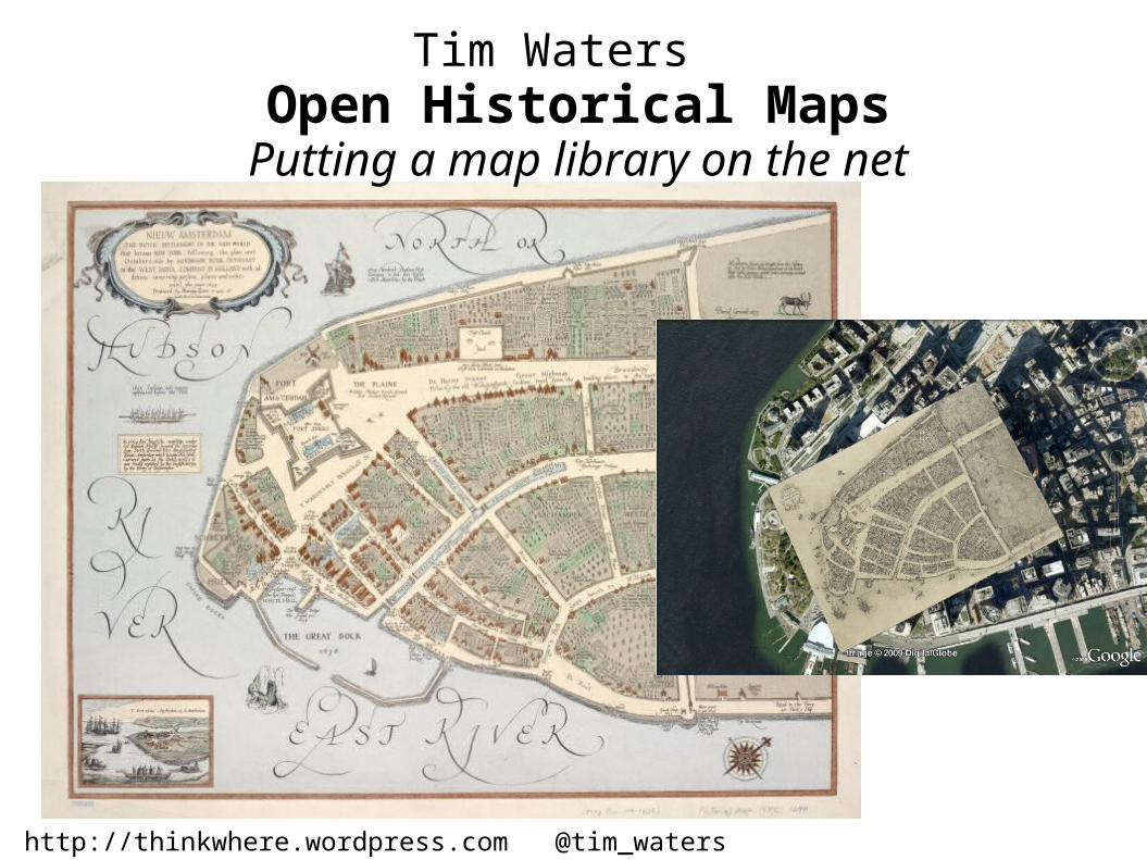
Tim Waters Open Historical Maps
Putting a map library on the net
http://thinkwhere.wordpress.com @tim_waters Geothings & Entropy Free


Emerging Geo Stack


http://www.flickr.com/photos/stabilo-boss/

http://www.flickr.com/photos/havovubu/3728604649/

Crowdsourcing? “I find the term incredibly irritating... Any company that thinks it’s going to build a site by outsourcing all the work to its users not only disrespects the users but completely misunderstands what it should be doing. Your job is to provide a structure for your users to Collaborate, and that takes a lot of work”. Jimmy Wales, Wikipedia

Making people happy to put your maps on the interwebs and trace over them for you!

Core Technology – traditional GIS stuff.
Georectification
Digitization

Entropy Free
http://www.flickr.com/photos/wallyg/
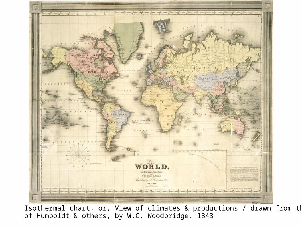
Isothermal chart, or, View of climates & productions / drawn from the accounts of Humboldt & others, by W.C. Woodbridge. 1843
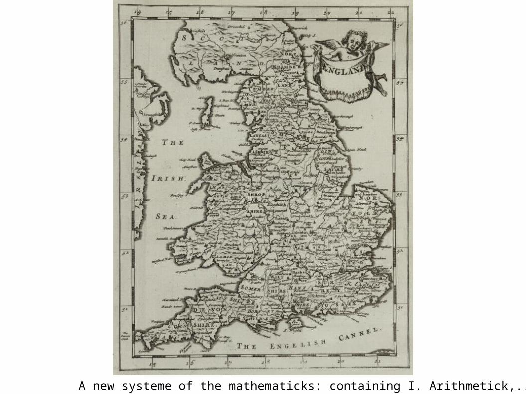
A new systeme of the mathematicks: containing I. Arithmetick,.... 1681

The English Empire in America.from Atlas minimus, or, A book of geography : shewing all the empires, monarchies, kingdomes, regions, dominions, principalities and countries, in the whole world 1679
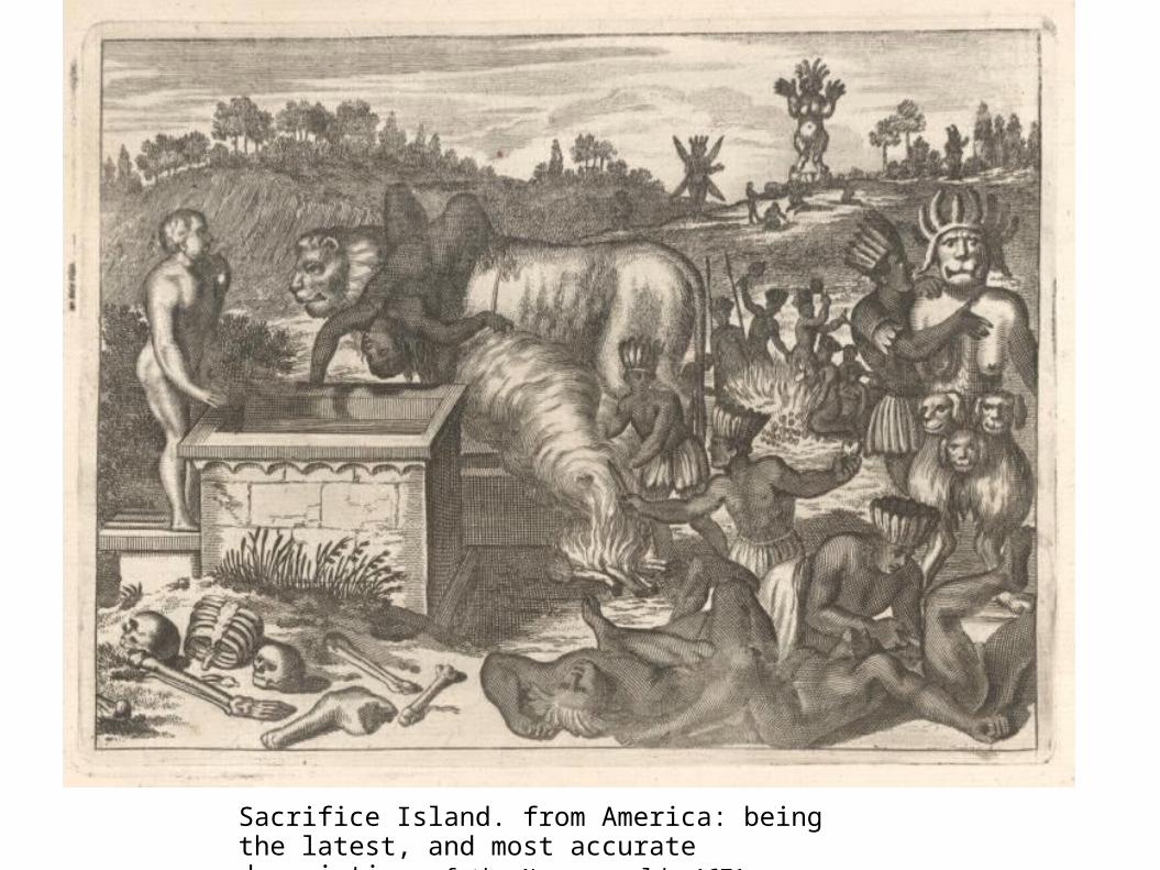
Sacrifice Island. from America: being the latest, and most accurate description of the Nevv vvorld 1671


http://dev.maps.nypl.org/warper/layers/863


Um,huh?


DEMO
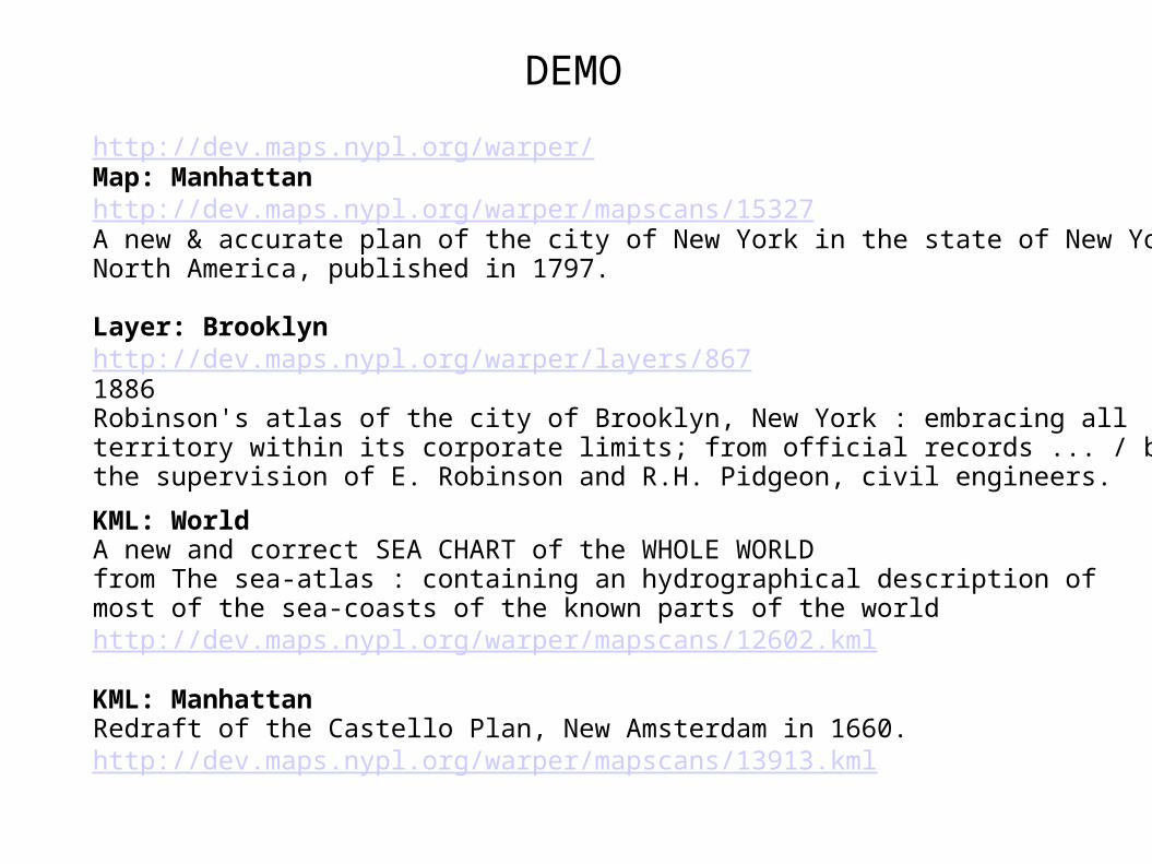
http://dev.maps.nypl.org/warper/Map: Manhattanhttp://dev.maps.nypl.org/warper/mapscans/15327A new & accurate plan of the city of New York in the state of New York in North America, published in 1797.
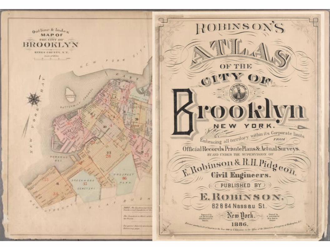
Layer: Brooklynhttp://dev.maps.nypl.org/warper/layers/8671886Robinson's atlas of the city of Brooklyn, New York : embracing allterritory within its corporate limits; from official records ... / by and underthe supervision of E. Robinson and R.H. Pidgeon, civil engineers.
KML: WorldA new and correct SEA CHART of the WHOLE WORLDfrom The sea-atlas : containing an hydrographical description of most of the sea-coasts of the known parts of the worldhttp://dev.maps.nypl.org/warper/mapscans/12602.kml
KML: ManhattanRedraft of the Castello Plan, New Amsterdam in 1660. http://dev.maps.nypl.org/warper/mapscans/13913.kml

Layers:
Buildings
Districts
Points of Interest
Transport Network
Hydrography


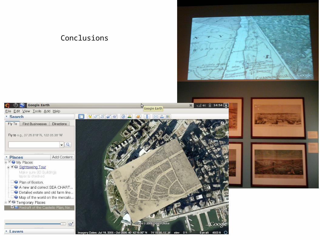
Conclusions

http://dev.maps.nypl.org/warperFind me for beta login details or email [email protected]
http://warper.geothings.net Have a go now!
Future: Dynamic HTML5 space age stuffOpen Historical Map

http://thinkwhere.wordpress.com @tim_waters Geothings & Entropy Free


