14
Tools in ArcGIS Tool Bars and (this is new!) ArcToolbox: Not only is there an immense toolbox, You can write your own scripts And add your own tools!
| Date post: | 30-Dec-2015 |
| Category: |
Documents |
| Upload: | david-mcdaniel |
| View: | 214 times |
| Download: | 0 times |

Tools in ArcGIS
Tool Bars and (this is new!) ArcToolbox:
Not only is there animmense toolbox,You can write your own scriptsAnd add your own tools!

Exercise 4: Sea Level Rise
Intro to Remote Sensing

What is Remote Sensing?
The acquisition of information about an object or phenomenonwithout making physical contact with the object.
PIGEONS! In 1903, Julius Neubronner designed a camera that could mount on a pigeon’s breast
Lots of GIS data is obtained with Remote Sensing, but we don’t use pigeons anymore (much?)

Advantages of Remote Sensing?
• Large Area Coverage
• Extended Spectral Range
• Geometric Accuracy
• Permanent Record
Low cost and uniform manner
Detectors can access beyond human eyesight
Easier than on-the-ground surveys
Images locked in time
NASA’s Deep Space Network antenna atGoldstone, California
Amazing Applications!
Electromagnetic Energy Interactions
Energy recorded by remote sensing systems undergoesfundamental interactions that should be understood to properlyinterpret the remotely sensed data. Think about pathways.
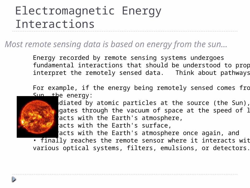
For example, if the energy being remotely sensed comes from theSun, the energy:• is radiated by atomic particles at the source (the Sun),• propagates through the vacuum of space at the speed of light,• interacts with the Earth's atmosphere,• interacts with the Earth's surface,• interacts with the Earth's atmosphere once again, and• finally reaches the remote sensor where it interacts withvarious optical systems, filters, emulsions, or detectors.
Most remote sensing data is based on energy from the sun…

Various Pathways of Radiance Received by a Remote Sensing System
Energy-matterinteractions occurin the atmosphere,at the study area,and at the remotesensor detector

Transmittance and the Electromagnetic Spectrum

Considerations for Remote Sensing Data
Aerial vs Satellite
Passive vs Active
Signal pathway• Absorption• Transmittance• Reflectance
Sensor design
Terrain and Tilt Distortion
Resolution
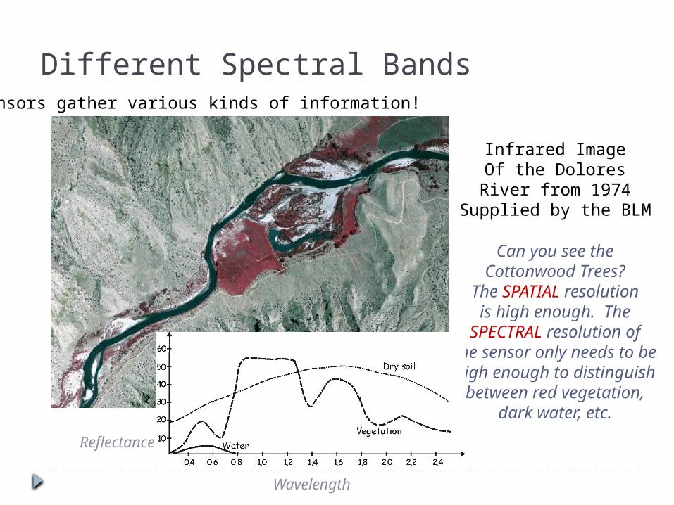
Different Spectral Bands
Infrared ImageOf the Dolores
River from 1974Supplied by the BLM
Can you see theCottonwood Trees?
The SPATIAL resolutionis high enough. The
SPECTRAL resolution ofthe sensor only needs to behigh enough to distinguishbetween red vegetation,
dark water, etc.
Sensors gather various kinds of information!
Reflectance
Wavelength

Spectral Data Box – We want GIS for this!
Moffat Field Airport, CA
TheseAre a
SimplifiedThis

LiDAR and RADAR – Active systems

Bathymetry, Altimetry and MODIS Imagery(Today’s Remotely Sensed Layers)
MODIS = Moderate Resolution Imaging Spectroradiaometer
Bathymetry – topography of the ocean floor
Altimetry – topography of land
SoundingsSatellite Radar
True Color Imagery
Air PressureSonic measurementsRadar (airplane and satellite)

ArcGIS bits we will see in our exercise today
Scale barNorth arrow(Legend)
Data View vs. Layout View
Working with raster and vector data
Peek into ArcToolboxConversion ToolsSpatial Analyst Tools

Thursday - Geodesy and Projections
Questions?


