Unsupervised Classification of Higgins Beach and Vicinity Remote Sensing (GEO 205) Author: Stanley Max Final Project Using ERDAS Imagine 8.7 to Conduct an Unsupervised Classification of Higgins Beach and Vicinity
Transcript
Unsupervised Classification of Higgins Beach and Vicinity
Remote Sensing (GEO 205)
Author: Stanley Max
Final Project
Using ERDAS Imagine 8.7 to Conduct an Unsupervised Classification of
Higgins Beach and Vicinity
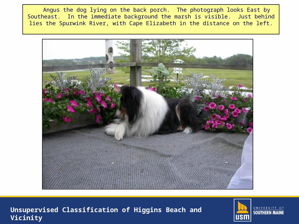
Unsupervised Classification of Higgins Beach and Vicinity
Why Have I Chosen to Study This Area?
• Several types of land-cover:ResidentialWooded suburbanRiverMarshBeachOcean
• My parcel of land
Unsupervised Classification of Higgins Beach and Vicinity
• 6 km2 = 600 ha• My parcel shown in red
Unsupervised Classification of Higgins Beach and Vicinity
• 6 digital orthophoto quarter quadrangles (DOQQs) from Maine Office of GIS
• Mosaicked with ERDAS Imagine 8.7• Unsupervised classification
13 classes with 13 iterations; 98% convergence
Completed all 13 iterations; 95.6% convergence
Unsupervised Classification of Higgins Beach and Vicinity
Let us view the classified image.
Unsupervised Classification of Higgins Beach and Vicinity
• Classified image• Composed as a map• Saved as a TIFF• Converted to a JPEG• Exported into PowerPoint
• Poor color fidelity• Looks too blue• Actual classified image
resembles the original closely
Unsupervised Classification of Higgins Beach and Vicinity
The following pie chart depicts all the classifications I
obtained using ERDAS:
Unsupervised Classification of Higgins Beach and Vicinity