52

Wilhelm Berg
• http://www.BergWerk-GIS.at/dl/About-MapBox-TU-Wien-CartoTalk.pdf
• https://github.com/BergWerkGIS
• https://twitter.com/WilhelmBerg
• Geography, Karl-Franzenz-Universität Graz
• PhD in Hydrology
• BergWerkGIS (2009):Custom GIS software (desktop, web, mobile)
• Since January 2014 collaboration with Mapbox


• www.mapbox.com www.mapbox.com/blog
• www.mapbox.com/mapbox-studio
• www.mapbox.com/plans
• ww.mapbox.com/enterprise/atlas
• www.mapbox.com/enterprise/highvolume
• github.com/mapbox github.com/mapbox/carto
• github.com/Leaflet github.com/mapnik
• github.com/mapbox/mbtiles-spec
• github.com/mapbox/vector-tile-spec
• github.com/mapbox/tilelive-vector
• github.com/mapbox/mapbox-gl-style-spec
• github.com/mapbox/mapbox-gl-js
• github.com/mapbox/mapbox-gl-native

• http://www.wired.com/2013/05/a-cloudless-atlas
• https://www.mapbox.com/blog/cloudless-atlas-with-landsat/
• !!! www.mapbox.com/mapbox-studio/postgis-manual
• www.mapbox.com/mapbox-studio/source-quickstart
• www.mapbox.com/mapbox-studio/style-quickstart
• ESRI und Mapbox Vector Tiles:
• http://video.esri.com/watch/4215/smart-mapping-with-vector-map-tiles
• https://twitter.com/bFlood/status/575642896474439680„the intent is to be interoperable with the mapbox spec“

•Highly scalable platform forworld wide custom maps
•+100 Designers, developers, cartographers
•Washington DC, San Francisco
•OpenStreetMap, TomTom, HERE, …
•All tools are Open Source

Offerings

•„We make it easy for developers to design custom maps for the web or mobile.“„Building Blocks“, „Lego Company“www.mapbox.com/developers
•Hostingwww.mapbox.com/plans
•Enterprisewww.mapbox.com/enterprise

Hosting

Enterprise - Atlas Server
• www.mapbox.com/enterprise/atlas
• US$ 49,000/Year

Enterprise - Atlas Server
• Including(worldwide):
•Mapbox Streets
•Mapbox Terrain
•Cloudless Atlas

„Cool“ things

Cloudless Atlas
• http://www.wired.com/2013/05/a-cloudless-atlas
• https://www.mapbox.com/blog/cloudless-atlas-with-landsat/

Landsat-live
“… a map that is constantly refreshed with the latest satellite imagery from NASA’s Landsat 8 satellite.”
“With every pixel captured within the past 32 days, Landsat-live features the freshest imagery possible around the entire planet.”
www.mapbox.com/blog/landsat-live-liveLandsat 8: 30m Auflösung, Überflug alle 16 Tage

Tippecanoehttps://github.com/mapbox/tippecanoe
• https://github.com/mapbox/tippecanoe/blob/master/MADE_WITH.md
• 6,341,973,478 tweets
• Runkeeper's 1.5 millionwalks, runs, and bike rides
• 375 million points, NYC Taxi

Mapbox GL
• https://www.mapbox.com/mapbox-gl/
• Responsive client sidevector maps
• On-device rendering withGPU accerlated OpenGL
• Implementationsnative and web

MapTab
• https://www.mapbox.com/blog/introducing-maptab/

Vector Tiles

Known Problem
Line width 1.5 2.0 ???
• Vector Data Style Bitmap Tiles• Bitmap Tiles on Server and Client

Motivation
• Efficiently ship data to the client
• Foundation for writing Mapbox GL
• Scale serverside rendering
• Seperate data from design

Solution
•Vector Data Vector Tile Cache• Vector Tiles Style Styled Bitmap Tiles• Vector Tiles Style Styled Vector Map
•Bonus: Style change, no connection toorgininal Vector Data (GeoDB)
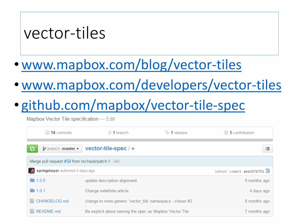
vector-tiles
•www.mapbox.com/blog/vector-tiles
•www.mapbox.com/developers/vector-tiles
• github.com/mapbox/vector-tile-spec

Mapbox Vector Tile Specification

• Experimental:Rasters inVectorTile
• SimpleCompositingVector + Raster
Mapbox Vector Tile Specification

Known Schema
• tile.osm.org/0/0/0.png
• tile.osm.org/0/0/0.vector.pbf
• tile.osm.org/{z}/{x}/{y}.png
• tile.osm.org/{z}/{x}/{y}.vector.pbf
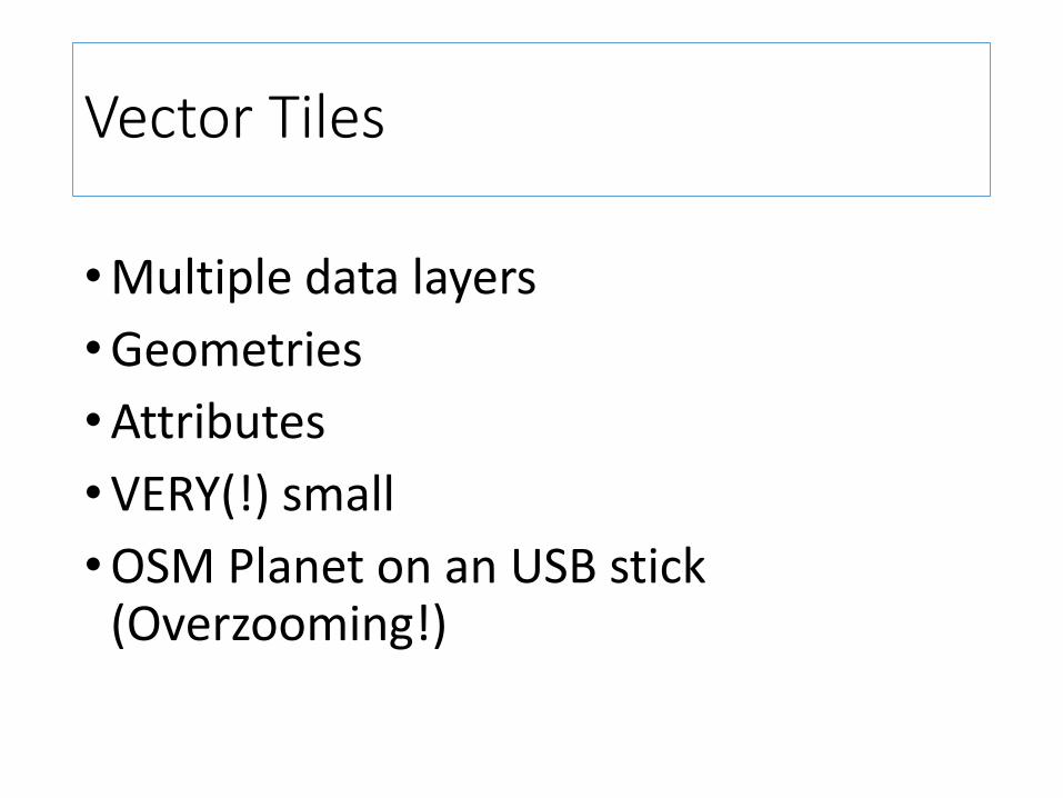
Vector Tiles
•Multiple data layers
•Geometries
•Attributes
•VERY(!) small
•OSM Planet on an USB stick(Overzooming!)

Vector Tiles
•Very fast to process• Client (js)• Server (C++)
• Lazy / incremental parsing• Direct access to elements• Unlike GeoJSON/TopoJSON


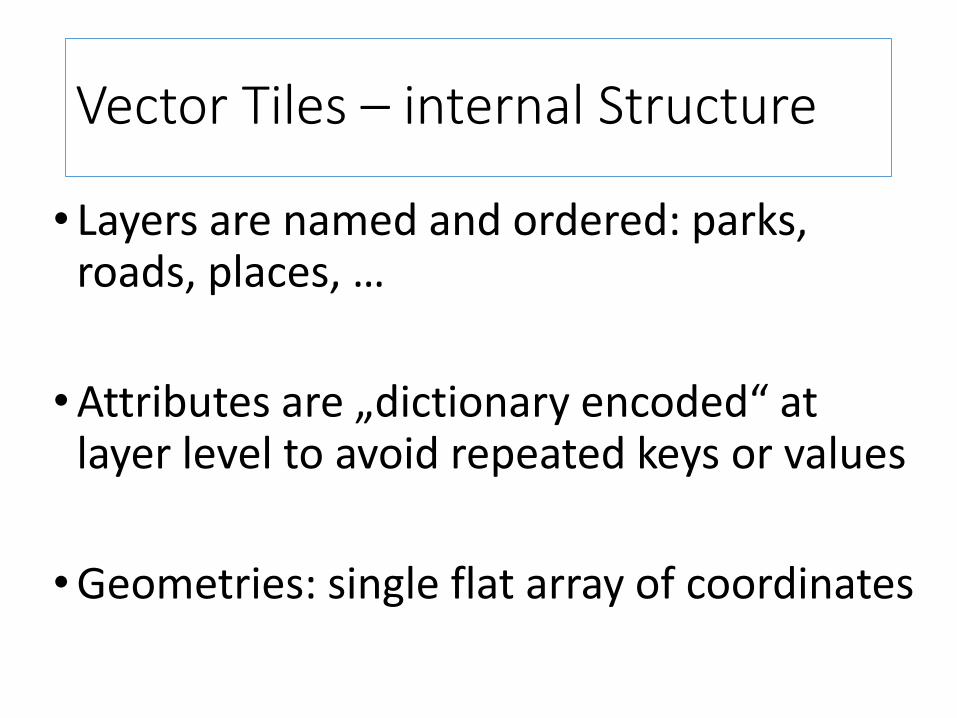
Vector Tiles – internal Structure
• layers• features•unique id• attributes: key:value pairs• geometries: array of ints
Vector Tiles – internal Structure
• Layers are named and ordered: parks, roads, places, …
•Attributes are „dictionary encoded“ at layer level to avoid repeated keys or values
•Geometries: single flat array of coordinates

Vector Tiles – internal Structure
•Vertices are saved as integers• relative to the tile origin
• Then „delta encoded“
• Then „zigzag encoded“

Vector Tiles – Delta Encoding
•A way of encoding squential data bydifference (compresses better)

Vector Tiles – ZigZag Encoding
• Enconding signed integers unsigned(takes less space)
Vector Tiles – Google Protobuf
• Efficient final encoding to pack the entire tile into a single buffer
• en.wikipedia.org/wiki/Protocol_Buffers
• github.com/google/protobuf

Overzooming

Pyramid Tiling

Compositing
•Combine multiple independent vector tilesinto a single, easy to style, set of layers
• z/x/y match just concatenate raw protobuffers
• z/x/y do not match overzoom and clip


Creating Vector TilesEasiest way: Mapbox Studio

Creating Vector Tiles - Hosted
• GeoDB (e.g. PostGIS)
• Create Mapbox Studio Source Project
• Upload Source Project to mapbox.com
• Get unique remote source ID
• Create Mapbox Studio Style Project with remote source
• Style
• Upload Style Project to mapbox.com
• Ready to use map

Creating Vector Tiles – Self Hosted
• GeoDB (e.g. PostGIS)
• Mapbox Studio Source Project
• Mapbox Studio Style Project with local source
• Style
• Export to Source Project to vector MBTiles
• Write own server and client:
https://github.com/BergWerkGIS/mini-server/blob/master/server.js

Creating Vector Tiles• www.mapbox.com/mapbox-studio Linux/Mac/Windows

Creating Vector Tiles
• www.mapbox.com/mapbox-studio/postgis-manual

Styling
• https://www.mapbox.com/guides/map-design/
• CartoCSS (rule based)

Printing – Remote Styles only

Implementations
github.com/mapbox/vector-tile-spec/wiki/Implementations

Implementations - Mapbox
• Alle Mapbox Tools: node-mapnik, tile-live, Mapbox GL JS, Mapbox GL native, …
• geoson-vt, GeoJSON Vector Tiles. Direkt im Browser, kein Servergithub.com/mapbox/geojson-vt
• tippecanoe, GeoJSON Vector Tiles (Kommandzeile)github.com/mapbox/tippecanoeNYC Taxi data: 375 Millionen Punktewww.mapbox.com/blog/vector-density

Implementations
• TileStachegithub.com/mapzen/mapbox-vector-tilegithub.com/mapzen/vector-datasource
• Leaflet.MapboxVectorTilegithub.com/spatialserver/Leaflet.MapboxVectorTile

Implementations - ESRI
• ESRI
•http://video.esri.com/watch/4215/smart-mapping-with-vector-map-tiles
•https://twitter.com/bFlood/status/575642896474439680„the intent is to be interoperable with the mapbox spec“