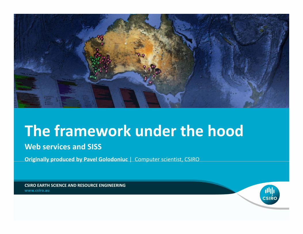
The framework under the hood Web services and SISS The framework under the hood Originallyproduced by Pavel Golodoniuc | Computer scientist, CSIRO CSIRO EARTH SCIENCE AND RESOURCE ENGINEERING
Transcript
The framework under the hoodWeb services and SISS
The framework under the hood
Originally produced by Pavel Golodoniuc | Computer scientist, CSIROg y p y | p ,
CSIRO EARTH SCIENCE AND RESOURCE ENGINEERING
Web services:Wh th & h th kWhy use them & how they work
Pavel Golodoniuc | The framework under the hood ‐Web services and SISS
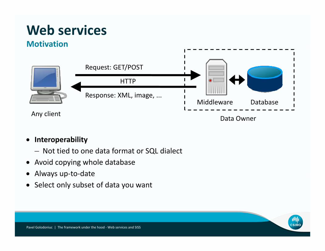
Web servicesMotivationMotivation
Request: GET/POST
DatabaseMiddlewareResponse: XML, image, ...
HTTP
• Interoperability
Data OwnerAny client
Interoperability– Not tied to one data format or SQL dialect
• Avoid copying whole database• Always up to date• Always up‐to‐date• Select only subset of data you want
Pavel Golodoniuc | The framework under the hood ‐Web services and SISS
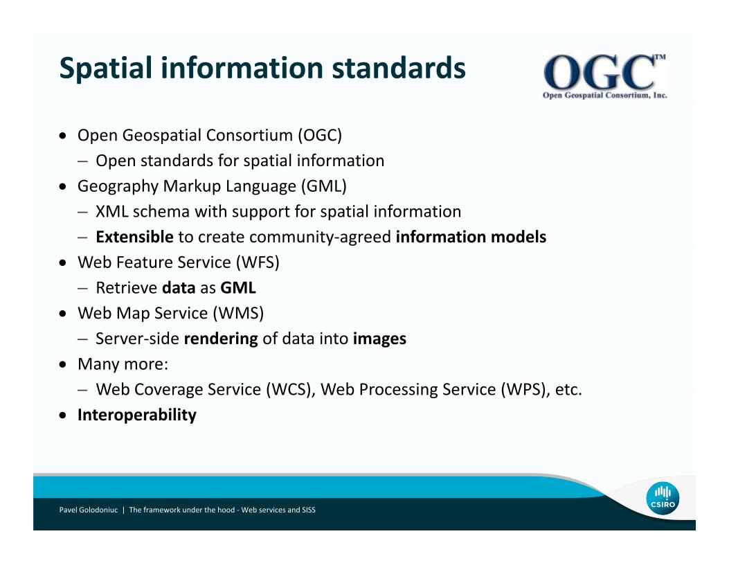
Spatial information standards
• Open Geospatial Consortium (OGC)– Open standards for spatial information
• Geography Markup Language (GML)– XML schema with support for spatial information– Extensible to create community‐agreed information models
• Web Feature Service (WFS)– Retrieve data as GML
• Web Map Service (WMS)Web Map Service (WMS)– Server‐side rendering of data into images
• Many more:Web Coverage Service (WCS) Web Processing Service (WPS) etc– Web Coverage Service (WCS), Web Processing Service (WPS), etc.
• Interoperability
Pavel Golodoniuc | The framework under the hood ‐Web services and SISS
Terminology
What is a feature?
• Feature – fundamental unit of geospatial information• Something that can be drawn on a map
N t t i tl t t ll f t h t– Not strictly true as not all features have a geometry• Features have identity• Features have properties
Pavel Golodoniuc | SISS Workshop
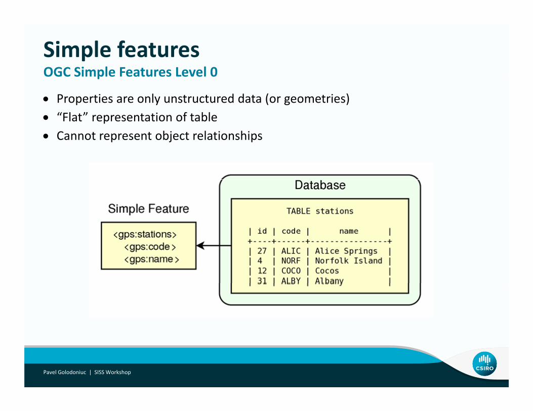
Simple featuresOGC Simple Features Level 0
• Properties are only unstructured data (or geometries)• “Flat” representation of table
OGC Simple Features Level 0
• Cannot represent object relationships
Pavel Golodoniuc | SISS Workshop
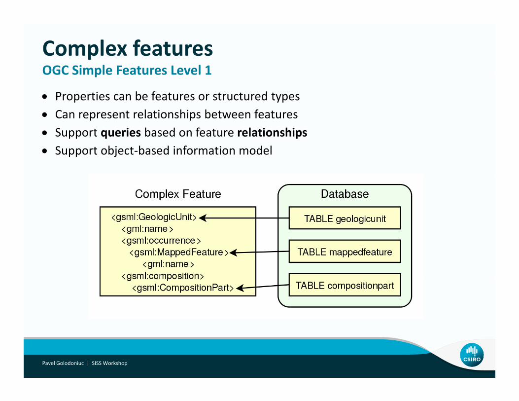
Complex featuresOGC Simple Features Level 1
• Properties can be features or structured types• Can represent relationships between features
OGC Simple Features Level 1
• Support queries based on feature relationships• Support object‐based information model
Pavel Golodoniuc | SISS Workshop
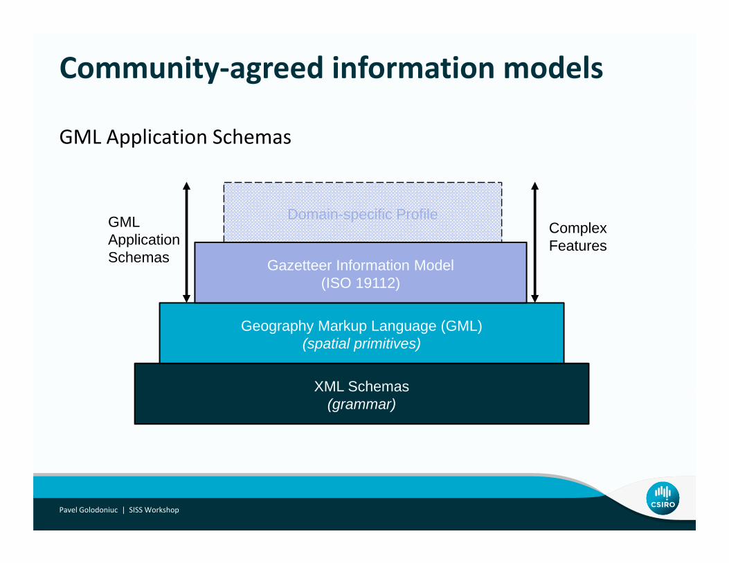
Community‐agreed information models
GML Application Schemas
Domain-specific ProfileComplexFeatures
GMLApplication
Gazetteer Information Model(ISO 19112)
FeaturesppSchemas
XML Schemas
Geography Markup Language (GML)(spatial primitives)
XML Schemas(grammar)
Pavel Golodoniuc | SISS Workshop
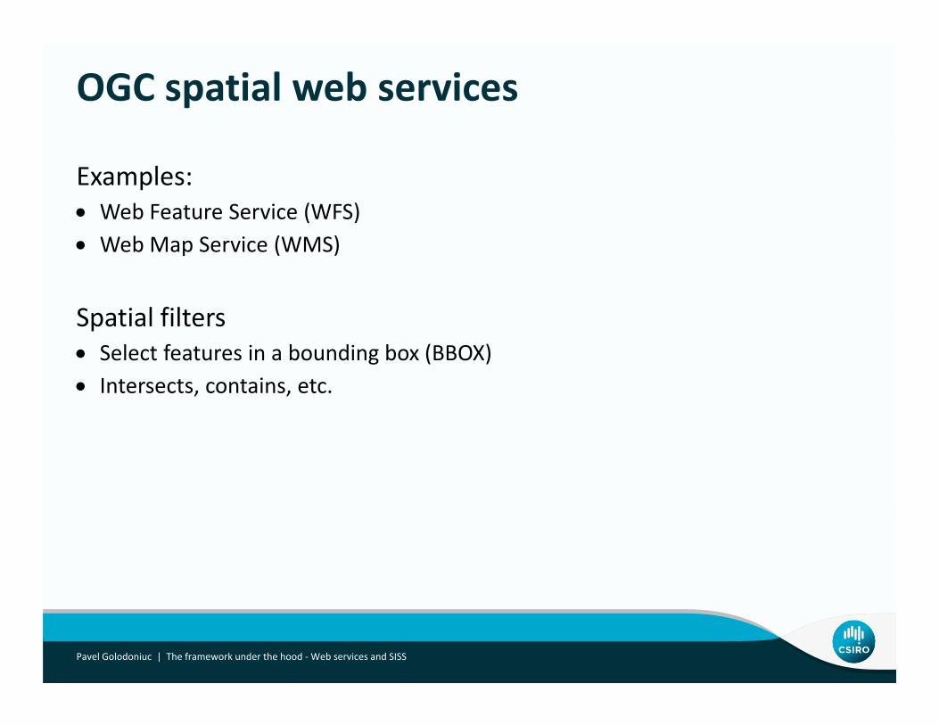
OGC spatial web services
Examples:• Web Feature Service (WFS)• Web Map Service (WMS)
Spatial filtersSpatial filters• Select features in a bounding box (BBOX)• Intersects, contains, etc.
Pavel Golodoniuc | The framework under the hood ‐Web services and SISS
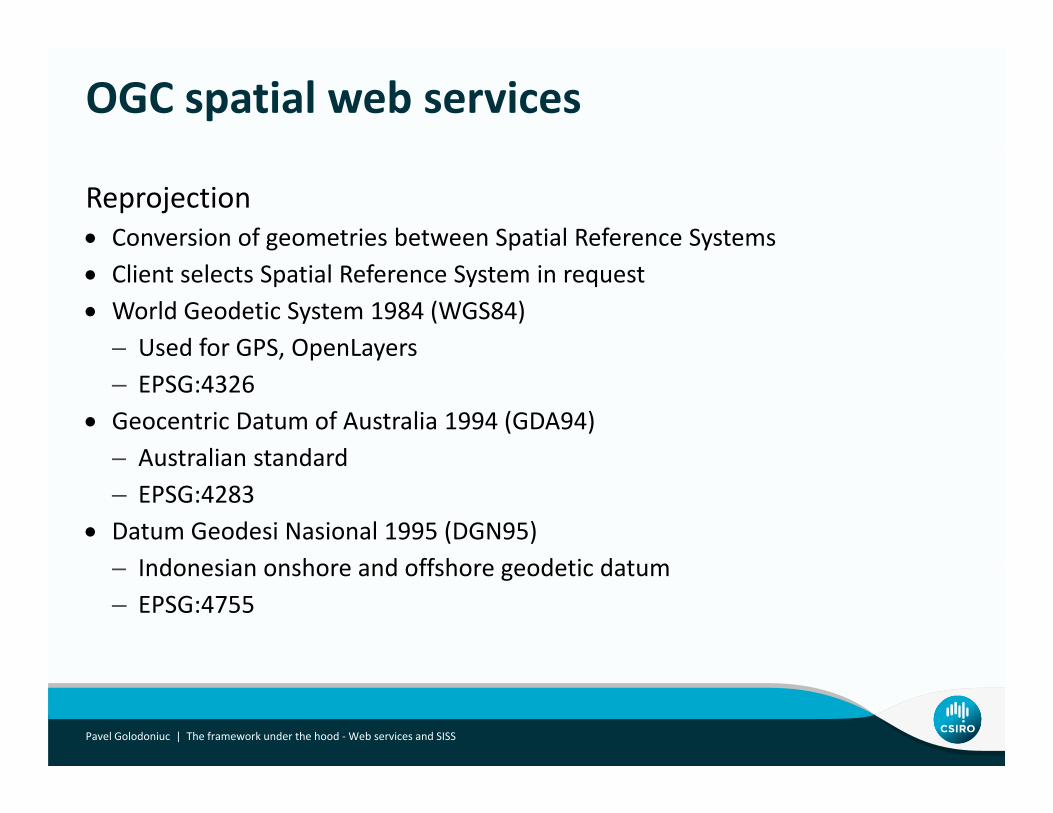
OGC spatial web services
Reprojection• Conversion of geometries between Spatial Reference Systems• Client selects Spatial Reference System in request• World Geodetic System 1984 (WGS84)
– Used for GPS, OpenLayersUsed for GPS, OpenLayers– EPSG:4326
• Geocentric Datum of Australia 1994 (GDA94)Australian standard– Australian standard
– EPSG:4283• Datum Geodesi Nasional 1995 (DGN95)
I d i h d ff h d ti d t– Indonesian onshore and offshore geodetic datum– EPSG:4755
Pavel Golodoniuc | The framework under the hood ‐Web services and SISS
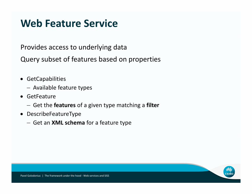
Web Feature Service
Provides access to underlying data
Query subset of features based on propertiesQuery subset of features based on properties
• GetCapabilities– Available feature types
• GetFeature– Get the features of a given type matching a filter
• DescribeFeatureType– Get an XML schema for a feature type
Pavel Golodoniuc | The framework under the hood ‐Web services and SISS
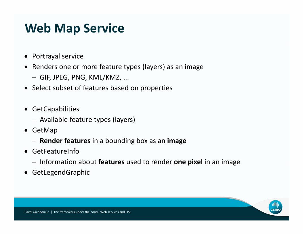
Web Map Service
• Portrayal service• Renders one or more feature types (layers) as an image
– GIF, JPEG, PNG, KML/KMZ, ...• Select subset of features based on properties
• GetCapabilities– Available feature types (layers)
• GetMapGetMap– Render features in a bounding box as an image
• GetFeatureInfoInformation about features used to render one pixel in an image– Information about features used to render one pixel in an image
• GetLegendGraphic
Pavel Golodoniuc | The framework under the hood ‐Web services and SISS
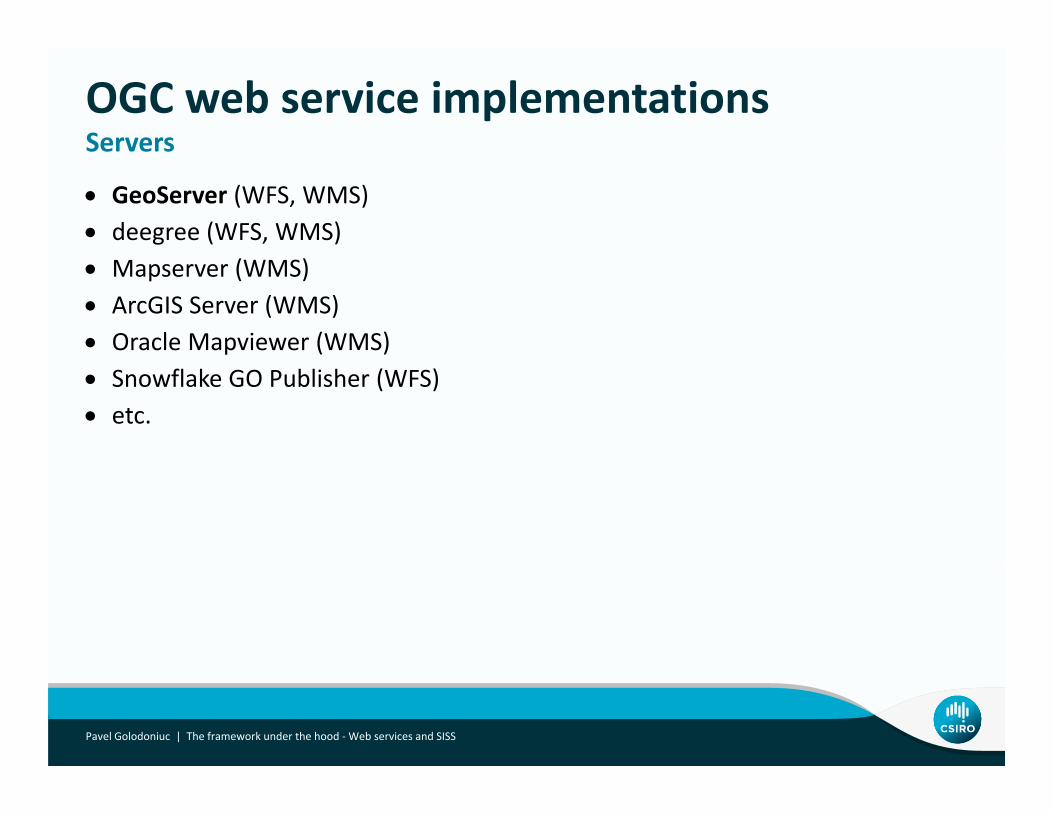
OGC web service implementationsServers
• GeoServer (WFS, WMS)• deegree (WFS, WMS)
Servers
• Mapserver (WMS)• ArcGIS Server (WMS)• Oracle Mapviewer (WMS)• Snowflake GO Publisher (WFS)• etc.
Pavel Golodoniuc | The framework under the hood ‐Web services and SISS
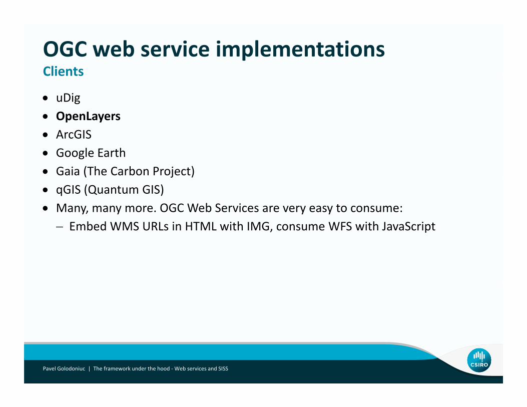
OGC web service implementationsClients
• uDig• OpenLayers
Clients
• ArcGIS• Google Earth• Gaia (The Carbon Project)• qGIS (Quantum GIS)• Many, many more. OGC Web Services are very easy to consume:
– Embed WMS URLs in HTML with IMG, consume WFS with JavaScriptEmbed WMS URLs in HTML with IMG, consume WFS with JavaScript
Pavel Golodoniuc | The framework under the hood ‐Web services and SISS
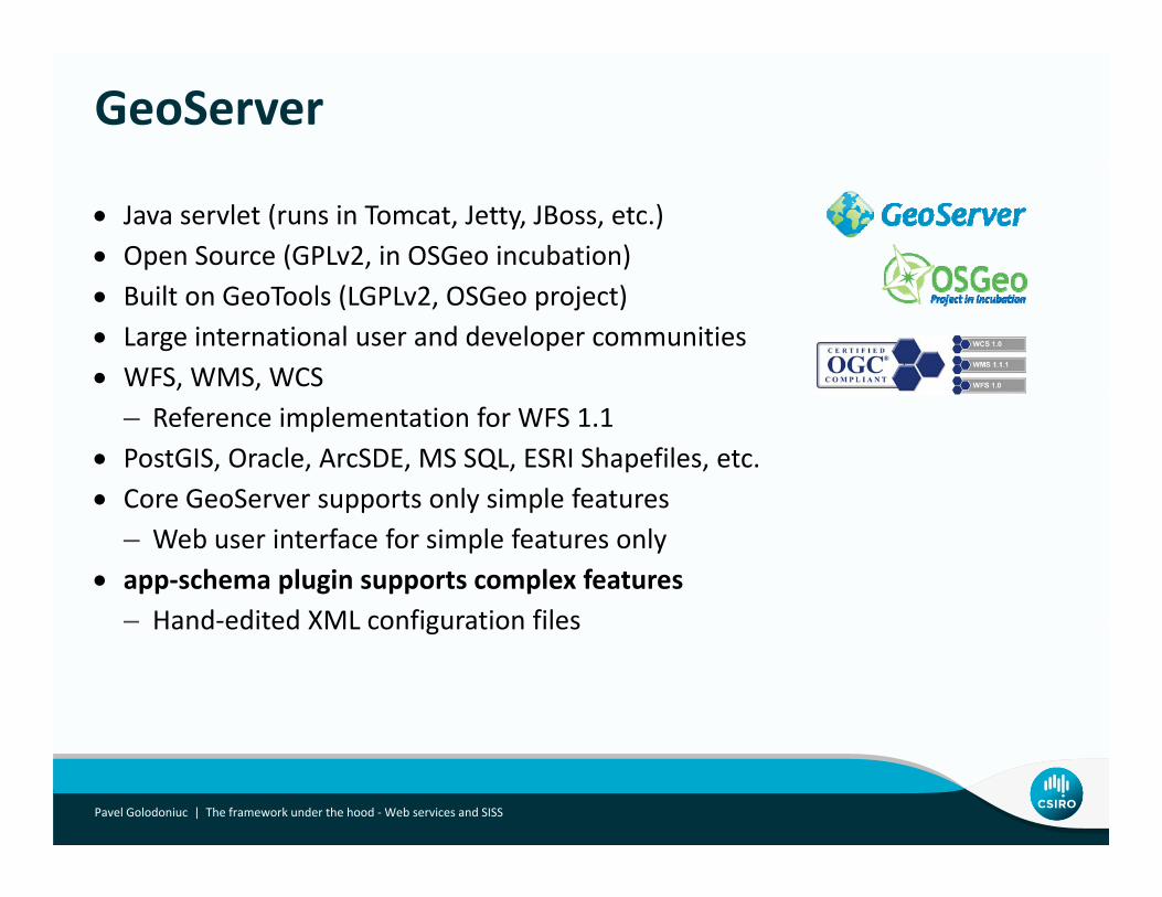
GeoServer
• Java servlet (runs in Tomcat, Jetty, JBoss, etc.)• Open Source (GPLv2, in OSGeo incubation)• Built on GeoTools (LGPLv2, OSGeo project)• Large international user and developer communities• WFS, WMS, WCS
– Reference implementation for WFS 1.1• PostGIS, Oracle, ArcSDE, MS SQL, ESRI Shapefiles, etc.• Core GeoServer supports only simple featuresCore GeoServer supports only simple features
– Web user interface for simple features only• app‐schema plugin supports complex features
Hand edited XML configuration files– Hand‐edited XML configuration files
Pavel Golodoniuc | The framework under the hood ‐Web services and SISS
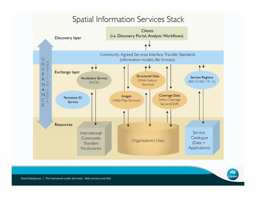
What is SISS:S ti l I f ti S i St kSpatial Information Services Stack
Pavel Golodoniuc | The framework under the hood ‐Web services and SISS
Pavel Golodoniuc | The framework under the hood ‐Web services and SISS
Summary
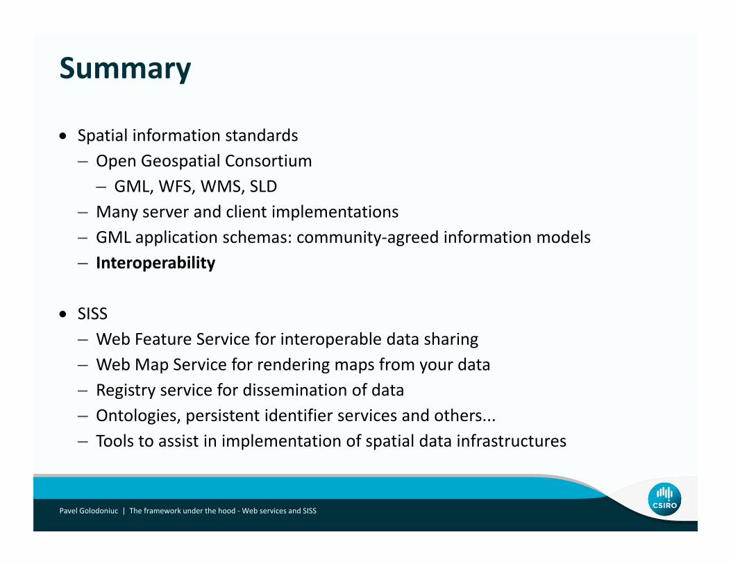
• Spatial information standards– Open Geospatial Consortium
– GML, WFS, WMS, SLD– Many server and client implementations– GML application schemas: community‐agreed information models– Interoperability
• SISSSISS– Web Feature Service for interoperable data sharing– Web Map Service for rendering maps from your dataRegistry service for dissemination of data– Registry service for dissemination of data
– Ontologies, persistent identifier services and others...– Tools to assist in implementation of spatial data infrastructures
Pavel Golodoniuc | The framework under the hood ‐Web services and SISS
h kThank youCSIRO ESREPavel GolodoniucComputer scientist