23
WHAT IS G.I.S. WHAT IS G.I.S. www.malaysiagis.com
| Date post: | 19-Dec-2015 |
| Category: |
Documents |
| View: | 216 times |
| Download: | 0 times |

WHAT IS G.I.S.WHAT IS G.I.S.
www.malaysiagis.com
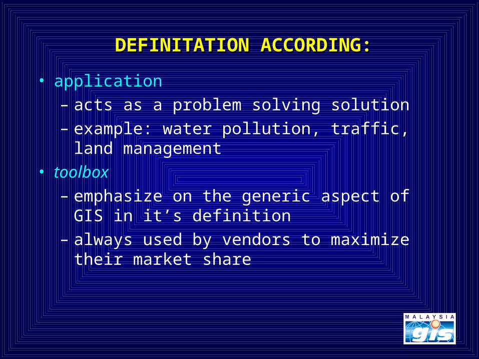
DEFINITATION ACCORDING:DEFINITATION ACCORDING:
• application
– acts as a problem solving solution
– example: water pollution, traffic, land management
• toolbox
– emphasize on the generic aspect of GIS in it’s definition
– always used by vendors to maximize their market share

GIS: OLD AND NEWGIS: OLD AND NEW
Traditional GIS
MAP TYPEWRITERMANUAL DRAFING TOOLS
New GIS
COMPUTER PLOTTER CD-ROM

THE NEED FOR GISTHE NEED FOR GIS
• the real world has a lot of spatial data– manipulation, analysis and modeling can be
effective and efficiently carried out with a GIS• the neighborhood of the intended purchase of house• the route for fire-fighting vehicles to the fire area• location of historical sites to visit• the earth surface for purposes of army
• the earth surface is a limited resource• rational decisions on space utilization• fast and quality information in decision making
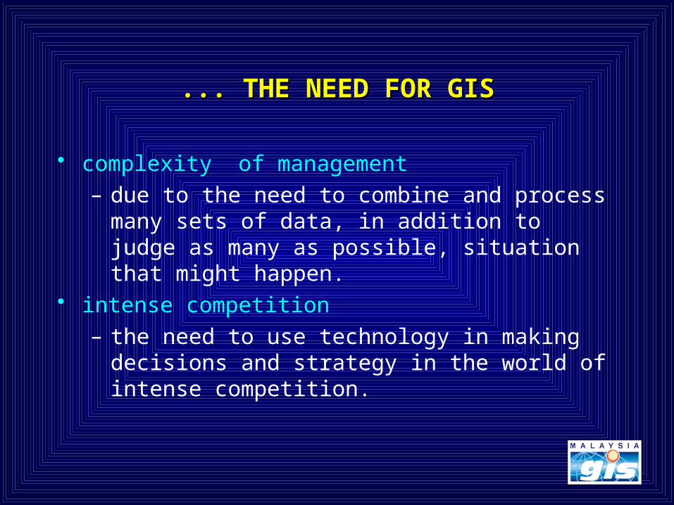
... THE NEED FOR GIS... THE NEED FOR GIS
complexity of management– due to the need to combine and process many
sets of data, in addition to judge as many as possible, situation that might happen.
intense competition– the need to use technology in making decisions
and strategy in the world of intense competition.

TABULAR DATA?
OR MAP?
DATA VISUALISATIONDATA VISUALISATION
YOUR CHOICE:
State Population (1991)Johor 2,074,297Kedah 1,304,800Kelantan 1,181,680Melaka 504,502

X
ZY
10 11 12
3
4
5
SO
UT
H
EAST
WHERE IS OBJECT X?
ANSWER: X = 3B SOUTH, 12B EAST
WHAT CAN BE FOUND AT A CERTAIN LOCATION ?
EXAMPLE: What can be found at 5B SOUTH, 11B EAST?
ANSWER: Y
LOCATIONLOCATION

ATTRIBUTE QUESTION:
1. ATTIRUBUTE EXPLAINATION
EXAMPLE: WHAT IS THE ATTRIBUTE FOR ITEM 2?
2. WHERE A CERTAIN SENARIO MIGHT HAPPEN?
EXAMPLE: WHO HAS THE HIGHEST QUALITY OF MINERALS ?
NO. AREA (HECTARE) OWNER TAX CODE MINERAL QUALITY
1 100,000 TALATU B HIGH
2 50,100 BRAUDO A MEDIUM
3 90,900 BRAUDO B LOW
4 40,800 ANUNKU A LOW
5 120,200 SILIMA B HIGH

3. SELECTION OF AN AREA (ACCORDING TO RULES)
EXAMPLE: WHICH ITEM HAS
a) AREA >40,000 HECTARE
b) OWNER: NOT SILIMA
c) TAX CODEI: B
d) MINERAL QUALITY: TINGGI
NO. AREA (HECTARE) OWNER TAX CODE MINERAL QUALITY
1 100,000 TALATU B HIGH
2 50,100 BRAUDO A MEDIUM
3 90,900 BRAUDO B LOW
4 40,800 ANUNKU A LOW
5 120,200 SILIMA B HIGH
….QUESTION: RELATIONAL DATABASE

QUESTION: PATTERN AND RELATIONSHIPQUESTION: PATTERN AND RELATIONSHIP
X
X
X
YY
Y
Z
Z
Z
Z
1. IS OBJECT X IN THE PATTERN?
YES, IN THE FORM OF LINE, FROM NORTHWEST TO SOUTHEAST
IN THE FORM OF A LINE
2. IS THERE A RELATIONSHIP BETWEEN X AND Y?
YES, Y IS ALWAYS NEAR WITH X
3. WHAT OTHER SPATIAL PATTERN EXIST?
OBJECT Z IS ALWAYS NEAR THE BORDERS AND ITS SIZE INCREASES FROM LEFT TO RIGHT

TREND QUESTIONTREND QUESTION
A
BC
A B
DC
1980 19901. WHAT ARE THE CHANGES FOR A,B AND C FROM 1980 TO 1990?
A: INCREASE IN SIZE
B: DECREASE SIZE AND CHANGE IN LOCATION
C: CHANGES IN SHAPE
2. WHAT HAS CHANGED SINCE 1980?
A AND B HAVE CHANGES IN SIZE
LOCATION B CHANGES
C CHANGES SHAPE
ADDITION OF ITEM D

GIS BENEFITSGIS BENEFITS
• improves/enhances the effects of physical/environmental growth
• better management of resources• adding new value-added services

BENEFITS OF GISBENEFITS OF GIS
• perform analysis on spatial and non spatial components
• fast recall of data
• ability for complex analysis
• recalling of non spatial data through object location
• display of information in a different light/view
• multiple scenario in planning can be performed easily

InformationSystem
InformationSystem
Non-spatialInformation
Systems
SpatialInformation
Systems
SpatialInformation
Systems
ManagementInformation
Systems
GeographicInformation
Systems
GeographicInformation
Systems
OtherTypes
(CAD/CAM)

GIS COMPONENT (I)GIS COMPONENT (I)• hardware
– computers to run software– other related software
• software– computer program to process data
• custom-written software• generic programs are more popular
• data– processed for information retrieval– most costly compared with hardware and software– longer life span– at times, have legal value

GIS COMPONENT (II)GIS COMPONENT (II)
• institution– individual and organisation that uses or
implements GIS– critical components - decides the success of
implementation• need for GIS professional to analyze, research,
design complex GIS systems• difficult to change humans to adapt with new
technology– always overlooked

GIS SUBSYSTEM (I)GIS SUBSYSTEM (I)
• data acquisition– define, entry and preliminary processing data– digitizer, scanner, survey equipment, etc.
• data management– control existence, update, recall and deletion of
data – database management system

GIS SUBSYSTEM (II)GIS SUBSYSTEM (II)
• analysis of data – generation of information from data achieves– spatial analysis software– value of GIS depends on the analytic functions it
provides• information output
– generated information conveyed to the users– information managed by computers can be
plotted, printed or exported into other systems.

GIS
USES
VARIOUS DATASOURCES
VARIOUS DATAFORMATS
AND
MAPS IMAGEDIGITAL
PRODUCTSGPS
TEXTDATA
TABULARDATA
MAPS
DATABASE
REPORTS
1
2
4 43

GIS APPLICATION (I)GIS APPLICATION (I)
• environment– management of natural resources
• land, forest, marine, etc.– monitoring/control of environmental pollution– environment impact study
• infrastructure– transport and irrigation management and
maintenance– utility management and maintenance
• electric, water, gas, telephone, etc.

GIS APPLICATION (II)GIS APPLICATION (II)
• socio-economy– town and country planning– monitoring of population migration– disperse of resources/services
• clinics, schools, etc• military
– land form visualisation– visibility analysis

GIS USAGEGIS USAGE• Data recall
Land Ownership
MAJLIS DAERAH KULAI
Geomdk_id: 252
Area: 147: 147.477900
Geodmk_: 640
Account_no: A0546142
Owner: LAM MEE WONG
No_k_p: 2224567
Bangsa: CINA
Address: 142, JLN. BERJASA, TMN. TIMUR,
KULAI, JOHOR
Poscode: 81000
No_geran: GM 125
No_lot: PTD 12201
Area: BANDAR KULAI
Mukim: SENAI-KULAI
Holding: BEBAS
Usage: KEDIAMAN
Floors: 01
Assesment: 89000.00
Rate: 0.25
Tax: 222.50

• Modeling– predict information from data within the GIS using a certain model
Population Density
Year 2010
- High
- Medium
- Low


