Why do we desperately need integrated coastal management, and how can we make it right? Presentation by Dr. Anamarija Frankic Center for Coastal Resources Management Virginia Institute of Marine Science College of William & Mary, USA afrankic@ vims . edu http://ccrm.vims.edu/staff/fra nkic_a.html
• After 30 years of coastal management planning we are still trying to develop simple, effective and widely applicable models and approaches; and we need more successfully implemented examples!
• Today, the environmental problems in coastal areas have been exacerbated by habitat destruction, water contamination, coastal erosion and resources depletion; increasing social and cultural degradation as well as poverty!
America’s Living Oceans: Charting a Course for Sea Changehttp://www.pewoceans.org
The US Ocean Commission on Ocean Policyhttp://oceancommission.gov/
http://www.epa.gov/owow/oceans/nccr/nccrfs.html
What went wrong and what did we
learn?• The root cause of this crisis is a failure of both perspective & governance;
• Oceans & coasts are the largest public domain and has to be managed holistically for the benefit of local communities, recognizing their socio-economic and cultural heritage values;
• Involvement of local communities in the planning and decision-making process;
• Increased use conflicts can be managed simply by controlling where certain activities are undertaken, but sustainability can only be attained when environmental conditions are appropriate;
• Interdependence of land and sea! Watershed and ecosystem management approach
• Use suitability and use conflict analysis support the interdisciplinary and holistic aspects of coastal planning and sustainable development; indicating where better information is needed;
Major goals of responsible and sustainable coastal
management:
• Optimize benefits from coastal and marine resources for local communities
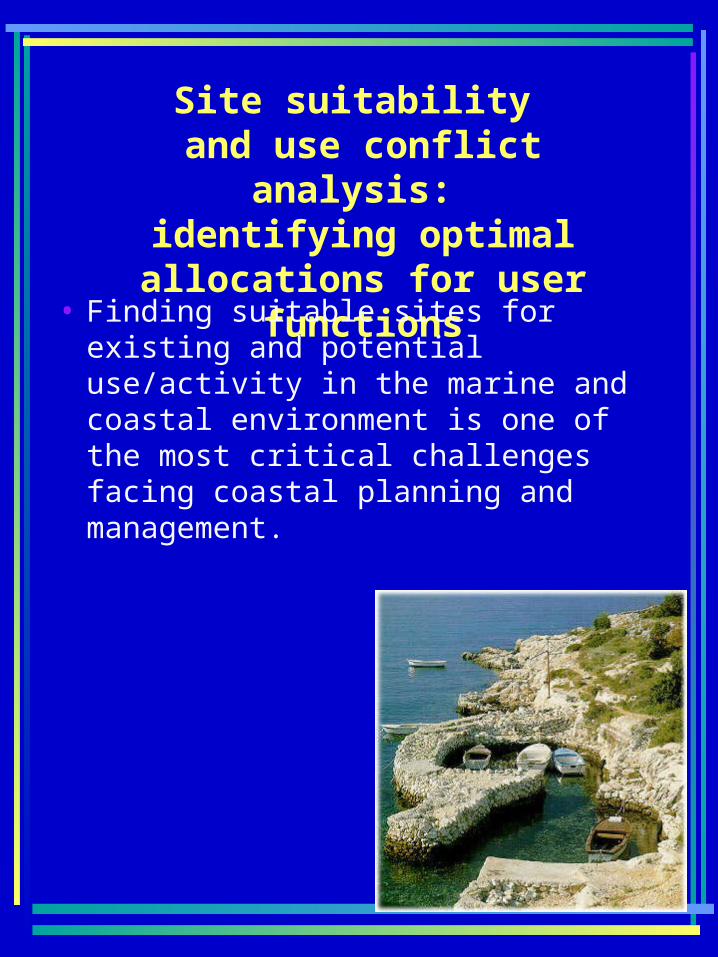
identifying optimal allocations for user functions
• Finding suitable sites for existing and potential use/activity in the marine and coastal environment is one of the most critical challenges facing coastal planning and management.
Analytical Approach –Summary:
1. Optimal sites are selected based on environmental suitability analysis and GIS models. Environmental parameters required for potential activity sites were selected and generic protocol was developed. Often a modified version of the activity protocol has to be created and applied based on available and spatially explicit data.
2. GIS use-suitability modeling: application of available environmental suitability indicators from developed protocols; includes evaluation of the model with existing activity sites.
3. GIS use-conflict modeling and analysis: identification of exiting and potential uses,and use conflicts.
4. Characterization of management issues and options. Providing outcome scenarios and recommendations, identifying gaps to help guide future scientific research, monitoring and decision-making processes.
Protocol Example for Shellfish Aquaculture
Example of identified land uses for aquaculture site suitability analysis (Ch. Bay, Virginia) (Source: VIMS/CCRM, A. Frankic)
Identified use conflicts and management issues:
• Aquaculture and SAV• Aquaculture and other
uses of the water column• Incompatible adjacent
land use, and• Water quality
impairments.
Conclusion:
• This analytical approach supports interdisciplinary aspects of coastal planning, and indicate that use suitability models are useful for discriminating environmental potential among sites but they are inadequate as predictors for long-term sustainability. Why?
• The major shortcoming is inability to integrate social, cultural and economic considerations in the integrated CZM
Identify and implement socio-economic indicators for the integrated coastal area management
Table with 32 suggested indicators;Source: UNESCO/IOC/COOP, Halifax, Feb 04 www.phys.ocean.dal.ca/~lukeman/COOP/hfx_april_04.html
NEXT STEPS
• “triple bottom line’ is used as a framework for measuring and reporting corporate performance against economic, social and environmental parameters (John Elkington) http://www.sustainability.com/philosophy/triple-bottom/tbl-intro.asp
• Driving force-Pressure-State-Impact-Response (DPSIR) model