
Groundwater indicator: from
zero to hero
Didier D’hont

2
Reminder of objectives of
WG WS&D • To further analyse and address the list of
pending issues • Indicators and risk maps
• Establish drought phases and structural water scarcity,
• recommend measures to include in the drought management plans
• minimize WS&D socio-economic and environmental impacts.
• Analyse the feasibility of the use of European indicator frameworks for regional and local assessments.
• To function as forum for WS&D issues and, where appropriate, to provide advice on WS&D issues to Water Directors via the Strategic Coordination Group.

3
Tasks
• Support the definition of commonly accepted indicators for water scarcity and for droughts) in Europe including the demonstration of the added value of these indicators.
• Exchange information on WS&D in the first river basin management plans.
• Transfer and exchange experience and expertise with international fora/other regions.
• Contribute to the development of the European Drought Observatory (EDO) under development at JRC.
• Support the creation of Drought Risk Maps, through commonly agreed methodology and scales.
• Support the development of a progressive integration of WS&D aspects under WISE, on voluntary basis.
• Link WS&D policies and strategies with research initiatives, especially within the FP7 framework (e.g. XEROCHORE project) and promote the use of appropriate technological tools. This can be done in close collaboration with the future SPI ad hoc activity.

4
Fact sheets agreed upon:
• SPI (standardised precipitation index)
• fAPAR (fraction of absorbed
photosynthetically active radiation)
• WEI + (water exploitation index)
• But no threshold values
• Still doubts on definition
• Endorsement by Water Directors May
2012
• New CIS-structure 2013: no WG WS&D

But…work was in progress
on groundwater indicator…
5
Nearly finished but just not
yet...

Water Directors June 2014
6
• Endorsement of
• Snowpack
• SRI (standardised run-off
index)
• Soil moisture
• Thresholds WEI+ in WG
water accounts
• Finalising fact sheet GW
indicator in WG
Groundwater, lead by BE

Groundwater indicator: history
7
• Goal: awareness raising indicator for water
scarcity and drought (in combination with
other indicators)
• In WG WS&D: lead by F, with cooperation
of UK, BE
• Tested by several countries (ES, PO, FI,…)
• General acceptance and agreement of
usefulness (but doubt in NL)

Contents (1)
• Key message: importance of groundwater
• Relevance of indicator to drought and/or
water scarcity
• Overall assessment of gw levels in aquifers
• Policy relevance:
• WFD: one of scientific elements for assessing
quantity status
• Communication of EC on WS&D
• Blueprint 8

Contents (2)
• Period of return of average monthly level
observed
• Five quantiles:
• Reference period: at least 12 consecutive
years
• Completion by GW level change between
before last and current month 9
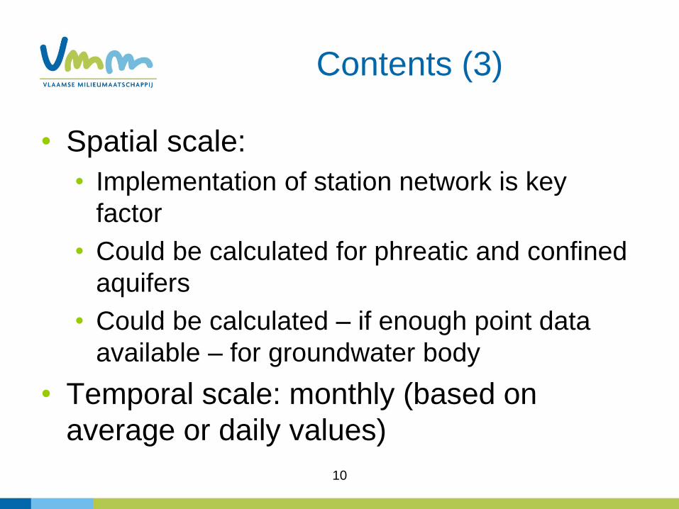
Contents (3)
• Spatial scale:
• Implementation of station network is key
factor
• Could be calculated for phreatic and confined
aquifers
• Could be calculated – if enough point data
available – for groundwater body
• Temporal scale: monthly (based on
average or daily values)
10

Contents (4)
• Methodology for calculation of indicator
• Methodology for data manipulation
• Quality of information: dependent on
quality of data
• Presentation of data: graphs or maps
11

12
Contents (5)
• Indicator should be “simple” to understand
“Oh, if only it were so simple”

Compare with historical
records of same month
13

Compare with all historical
records
14

compare with previous month
15
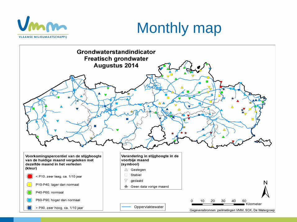
Monthly map
16
Conclusion
• Ask for approval of groundwater indicator
to include in set of indicators for water
scarcity and drought
17


