Impact of pollution on marine Biodiversity
Pr. Alexandre MeineszUniversity of Nice - Sophia Antipolis
And President of the Commission Environment/energy at the RegionalEconomic and Social Committee
There are few endemisms in thebiodiversity in all marine
ecosystems :large diffusion of reproductive
elements for most of the species(eggs, larvae,…)

The biodiversity is much higher in the Benthic ecosystems
because there is a high diversity ofbiotopes (habitats)

21- Benthic marine ecosystems are
by far the richest in terms of biodiversity
“Marine biodiversity is higher in the benthic than in the pelagic system”
Joint group of Experts on the scientific aspects of marine environmental
protection. GESAMP Reports, N°6, 1997;
IMO/FAO/UNESCO – IOC/WHO/IAEA/UN/UNEP
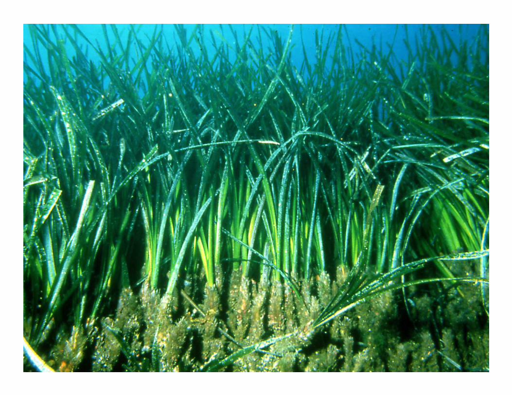
The biodiversity of the benthiclittoral ecosystems is much more
ritch than the deep benthicecosystems for two reasons :light penetration and higher
diversity of biotopes

Coastal benthic ecosystems are highly diversified in their
uppermost layer (between 0 and 20 m depth).

3
Coastal benthic ecosystems between 0 and -20 m depth
extend over limited areas only
It is on this narrow 'oasis' of marinelife that most the pollutions are
concentrated and were the seafront constructions (reclamations) are built.
• 5Impact of human activities are concentrated on the shores : on therichests ecosystems of the sea
4Impact of human activities are
concentrated on the shores : on therichests ecosystems of the sea

Damages to the marine biodiversity :
- best known, documented, published, are the damages having an impact on health
or on the economy (fisheries ...). (transparency, chemical oxygen demand, total
phosphorus and nitrogen, pollutants load, red tides, bacterial or hydrocarbures pollutions)

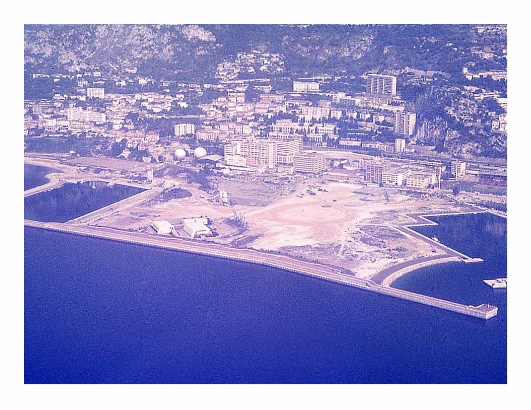
- Global cumulative impacts of habitatdestruction in the marine coastal ecosystems by constructions reclaimedfrom the sea are underestimated.
The assessment of the negative impact of reclamations is often seen as hostile to development. For this reason, few studies have deal with
this conflicting and politically sensitive subject, and there has been little financial or personal
investment in this field.
But ...Habitats destruction is at the top of the pyramid of
biodiversity loss on the planet, even ahead of invasions by
allogenous species, chemical or bacteriological pollutions or
overexploitation of natural living resources.

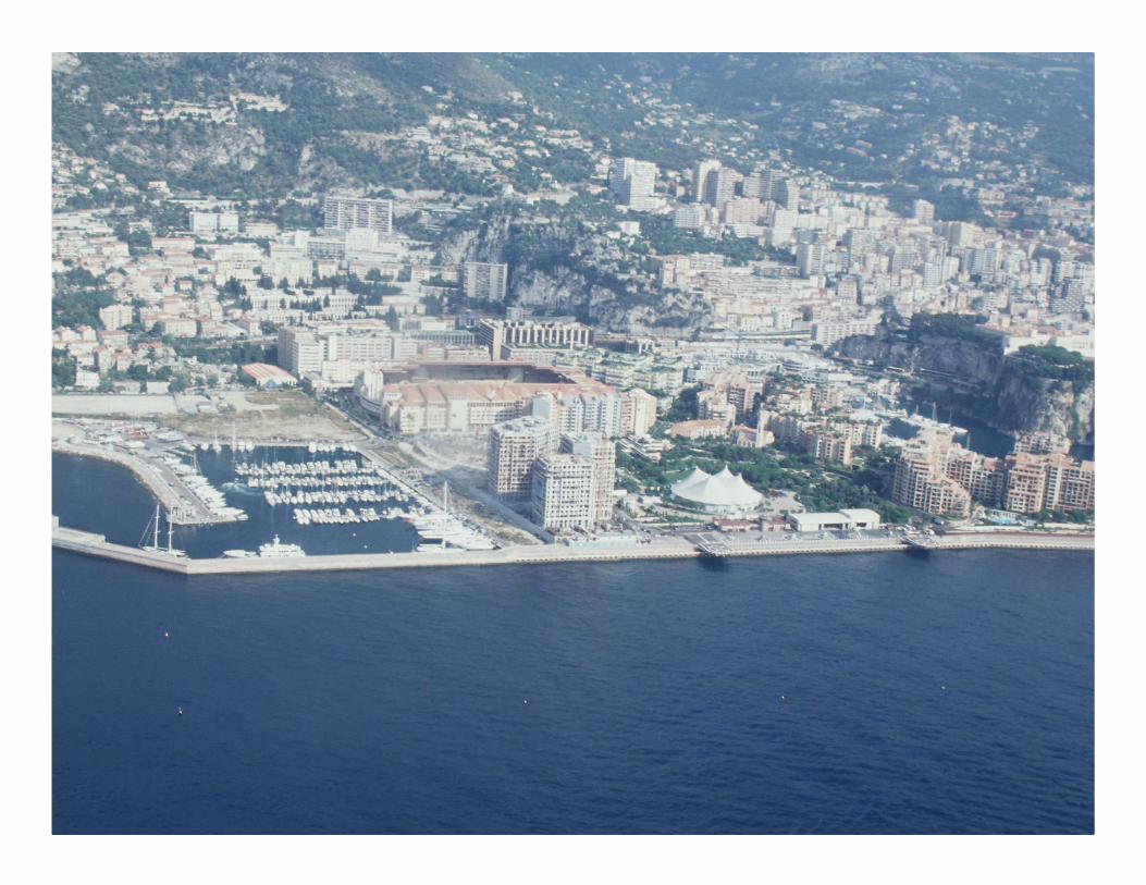
In marine environment, each construction reclaimed from the sea destroys an underwater habitat by
covering it or by confining the water inside breakwaters. A high density
of constructions built on narrow shallow bottoms represents a major damage to the subsea environment.
Destructions of marine habitats are cumulative.
Destruction by reclaimed lands are irreversible.
// Chemical or bacteriological pollutions or overexploitation of natural living resources are mostly localized and
With reversible damages on the marine life.
Actual situation In the front ofFrench Mediterranean coasts
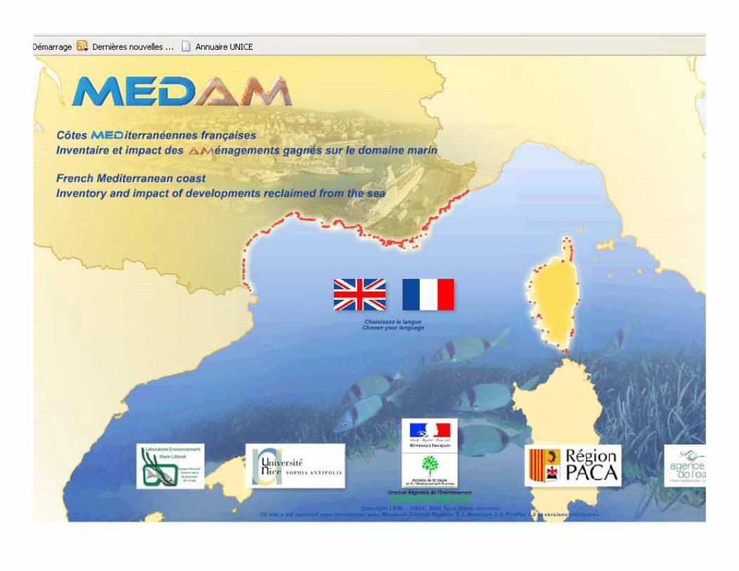
On the basis of an exhaustive inventory of the constructions reclaimed from the sea
and of surface area and linear measurements,
the rates of destruction of shallow coastal bottoms and of the occupation of the
seafront by man-made structures have been calculated .

Impact on the landscapeThis form of impact is assessed by comparison of:- the length of built-over seafront -with the length of the seafront prior
to any construction (initial length of the natural coast).
This assessment provides a basis for proposing rates of artificial landscape by man-made constructions
Ecological impactThe ecological impact is assessed on thebasis of comparison of -the cumulative surface area of constructions
reclaimed from the sea - with the surface area of the littoral shallow
bottoms (0-10m, 10m- 20 m) which are therichest in the marine environment.
This assessment provides a basis forproposing rates of destruction for all the littoral ecosystems.

Coast line before anyconstruction on the sea
• The overall length of the French Mediterranean coastline measures 2 056 km, excluding the shoreline of the Etang de Berre (100 km) and of Monaco (5 km) ;
• 977 km for Corsica • 853 km for Provence – Alpes – Côte d’Azur• 226 km for Languedoc - Roussillon.

Initial coast line
The initial coastline, (that is as it was before
any construction) has been digitalised
on the basis of old maps.

Initial shallow seafront areaWe have delimited and digitalised the initial
coastline and the marine contour lines(isobaths) of the shallow bottoms
(from 0 to 10 m and 10 to 20 m depth).
The surface areas between thesebathymetric layers is measured.
From 0 to -20 m depth) = 168 769 ha(1 688 km²), including- 500 km² for Corsica, -668 km² for PACA,
- 520 km² for Languedoc-Rousillon
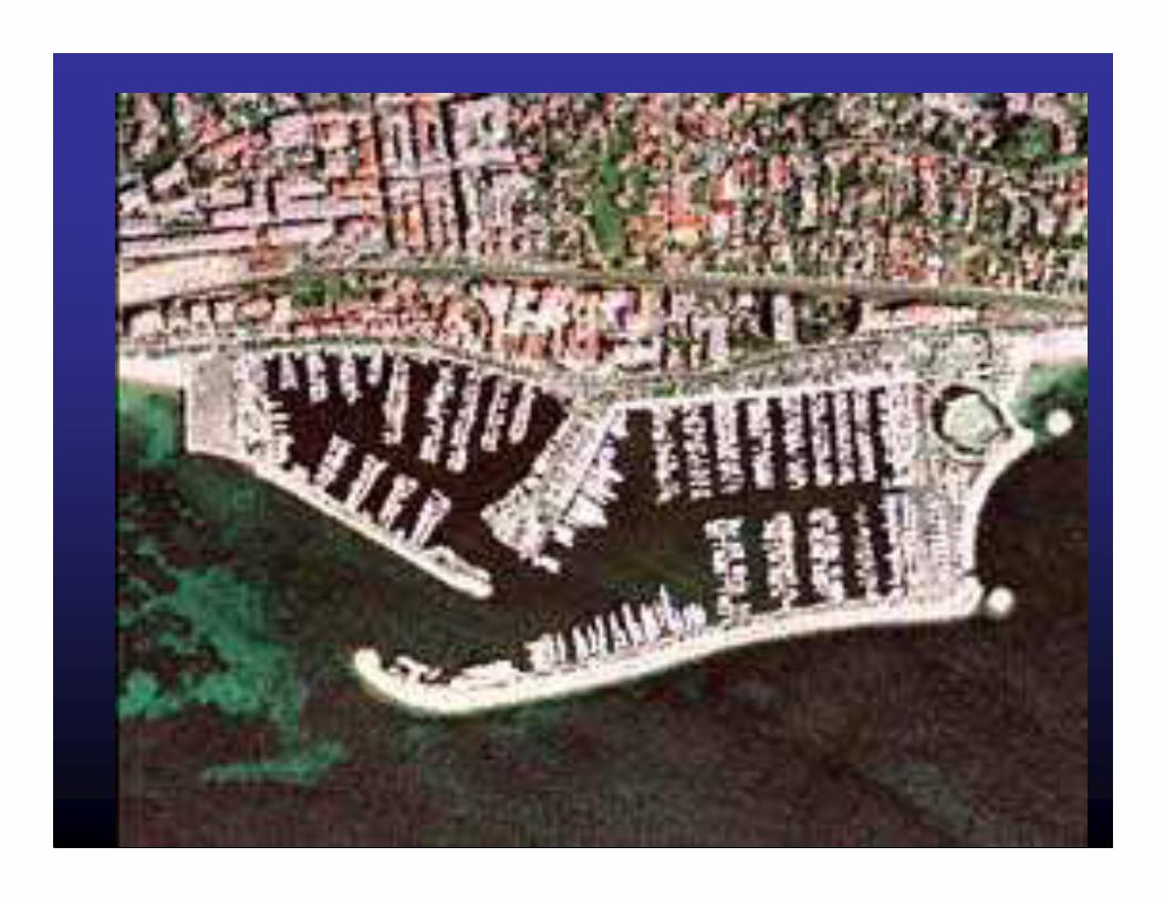
Inventory of seafront developments Inventory of seafront developments
The complete inventory of all 947seafront developments on the
French Mediterranean coast includes all constructions with a surface area
of more than 100 m² directly occupying The marine environment.
Seven types of seafront development Seven types of seafront development have been definedhave been defined
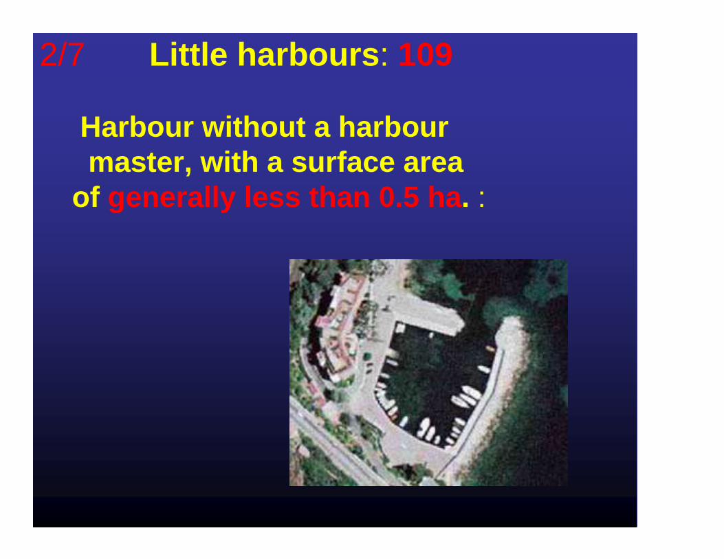
2/7 Little harbours : 109
Harbour without a harbour master, with a surface area
of generally less than 0.5 ha . :
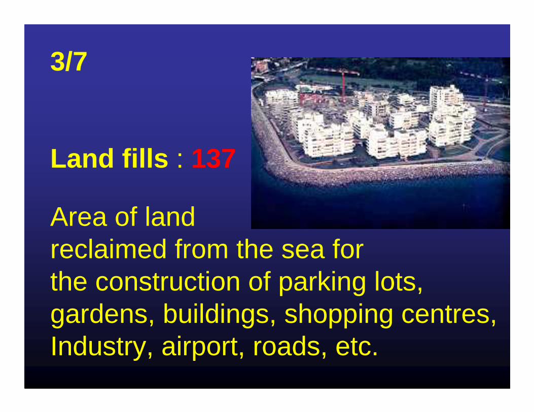
3/7
Land fills : 137
Area of land reclaimed from the sea for the construction of parking lots, gardens, buildings, shopping centres, Industry, airport, roads, etc.

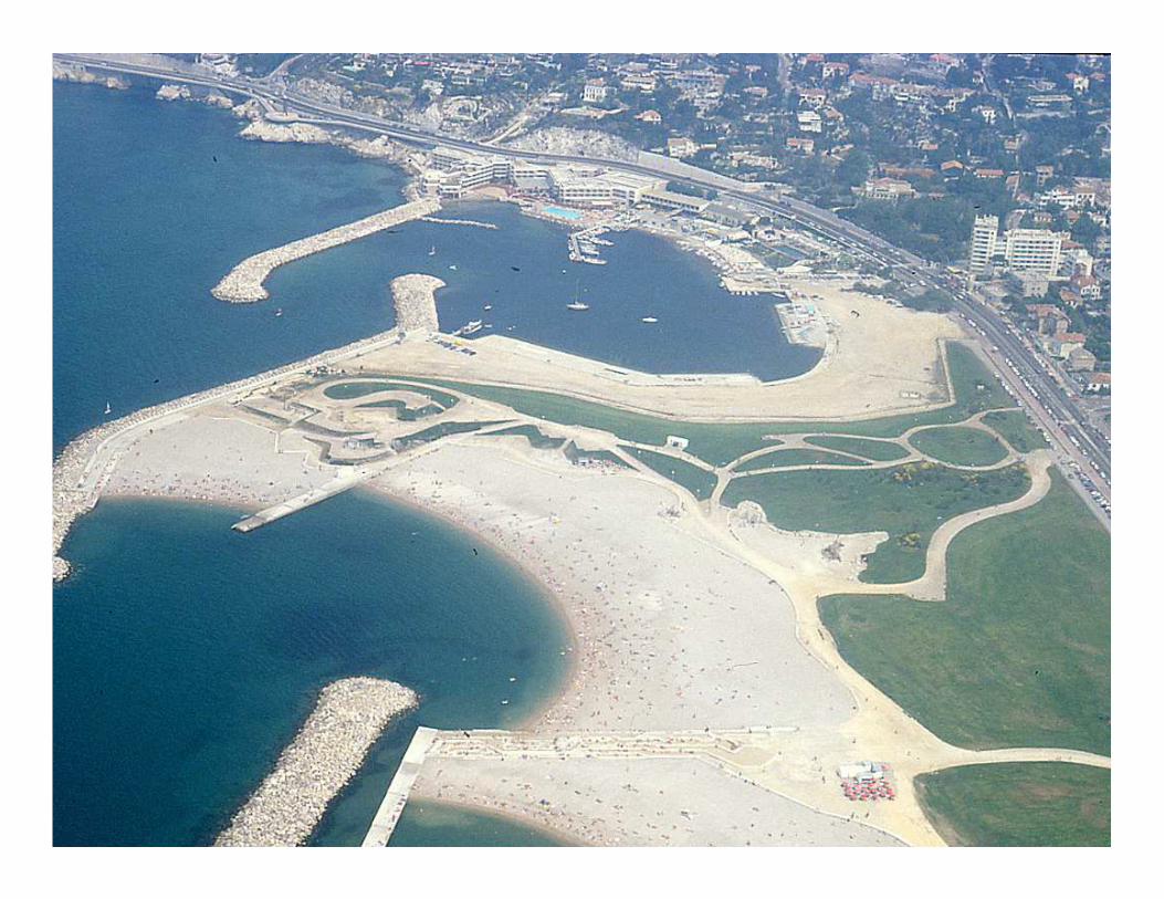
4/7Breakwaterprotected
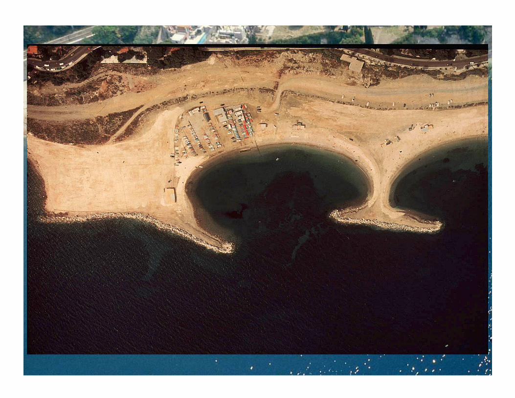
beaches: 62Breakwater protected beach : development consisting of two rocks dump breakwaters, curving inwards towards each other at the seaward end and delimiting an area reclaimed land and a sheltered stretch of water for bathing

5/7 Groins : 397
Structured pile of rocks designed to protectthe shore against erosion (axis generally perpendicular to the coast).
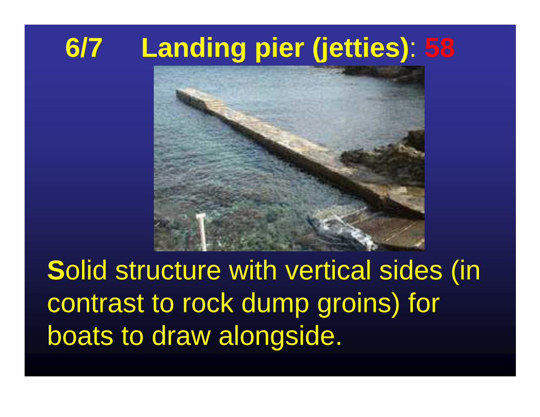
6/7 Landing pier (jetties) : 58
Solid structure with vertical sides (in contrast to rock dump groins) for boats to draw alongside.

7/7 River mouth breakwater: 35
Construction of two breakwaters situated on either side of the mouth of a river flowing into the sea.
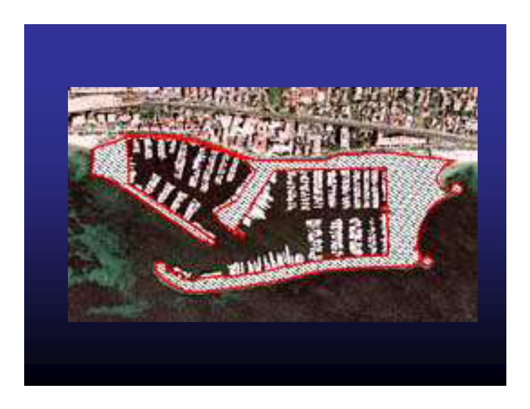
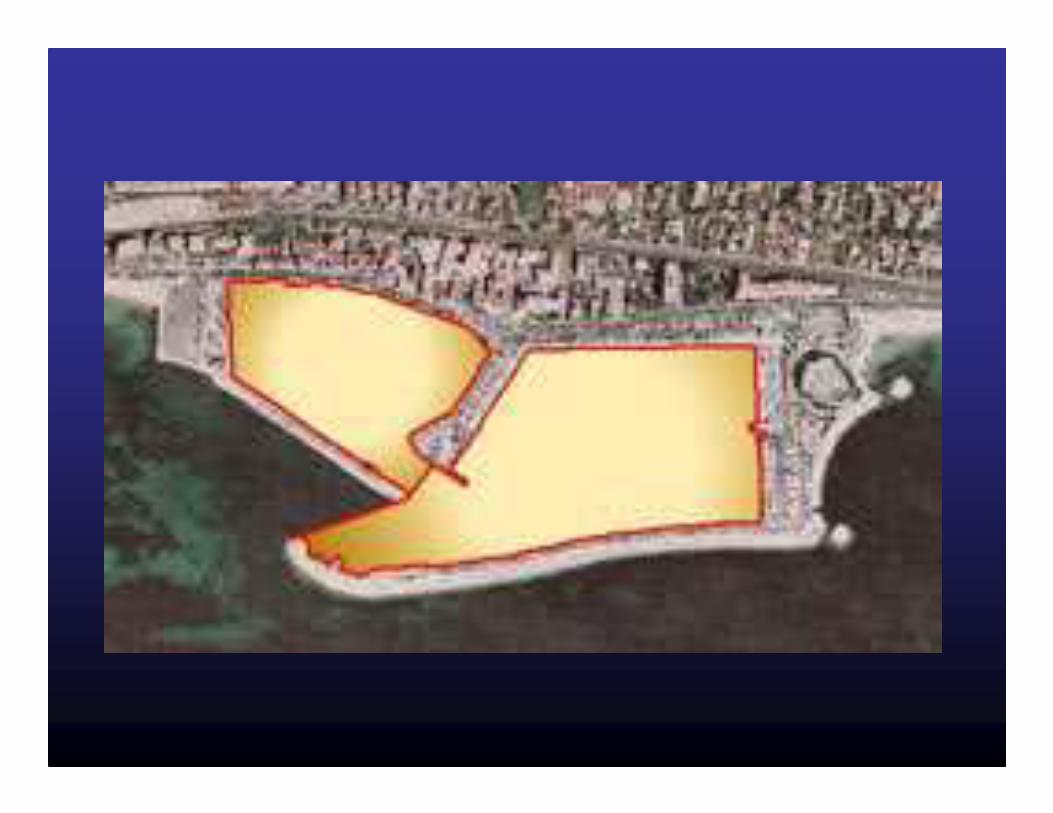
Two types of surface area have been taken into account :
1- Built-over surfaceBuilt-over surfaces are the emerged parts of
constructions reclaimed from the sea bottom. The subsea habitats built over are irreversibly
destroyed.
We have not taken into account the immersed parts of constructions or jetties built on piles.

2 - Water body
This means a stretch of water enclosed by a structure (harbour, man-made beach).

The enclosure of this water body irreversibly upsets the enclosed ecosystems. The water, in particular in harbours, is exposed to various forms of pollution such as heavy metals (from antifouling paints), oils, waste and various organic substances (from sewage from inhabited boats).

Linear measurement
- Length of man-made coastline= artificial coastline
This is the length of the original seafront on which constructions have been built.

Actual impacts on landscapes226 km (of the 2056 km) seafront is nowartificial.So 11 % of the seafront has the appearancefrom seawards of piles of rocks, blocks or concrete tetra pods.
This impact is very uneven:40.6 % of the seafront is man-made in the Gard, 27.4 % in the Alpes-Maritimes, 89 % for the coastof Monaco and only 2.1% for the coast of Corse du Sud.

Impact on the coastal ecosystems
5 282 ha have been built on the coastalbenthic ecosystems and are thuspermanently (definitively) damaged or destroyed.
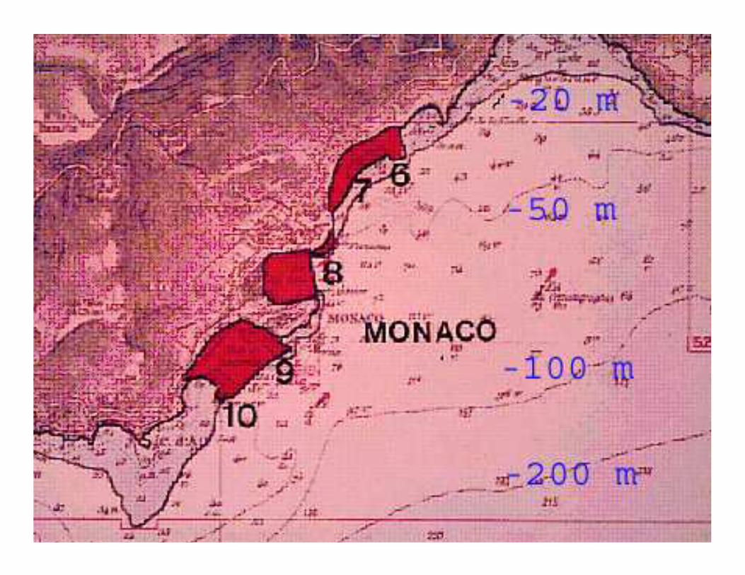
Between Menton and Martigues (Alpes-Maritimes, Monaco, Var and east of theBouches-du-Rhône), 500 constructions have beenbuilt occupying 17.8 % between 0 and -10 m depthand 11 % between 0 and -20 m.
Conclusion about the actual situation :
Habitat destruction in the marine coastal ecosystems by
constructions reclaimed from the sea (physical pollution) is by far
the major cause of alteration of marine biodiversity
on the French Mediterranean coasts

Global change : expected response
Strong enhances of habitat destruction in the marine coastal ecosystems and of the coastal landscapes by new constructions reclaimed
from the seato protect the shore line : Groins, dikes, with
more and more vertical rocky shores
ConsequencesHomogenisation of the shore line
substrates at the sea level + much more artificial concrete,
blocs, rocks at the sea level)+ less shallow water sandy or muddy substrates (tidal flats).
-> Hy level modification of the global biodiversity of the intertidal
ecosystems

For a sustainable development in the respect of the marine biodiversityProtect for ever the natural coastal
landscape (France)
National Trust (GB) or Conservatoire du littoral