
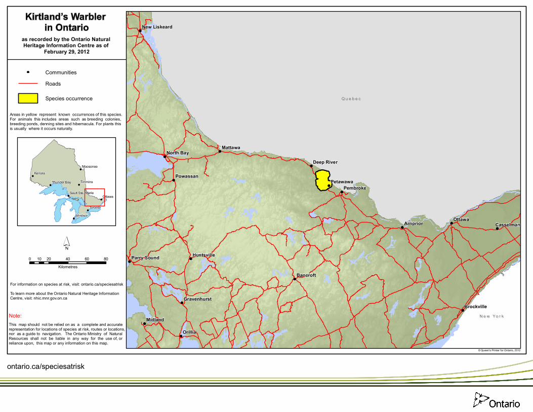
Areas in yellow represent known occurrences of this species. For animals this includes areas such as breeding colonies, breeding ponds, denning sites and hibernacula. For plants this is usually where it occurs naturally.
N e w Yo r kN e w Yo r k
Q u e b e cQ u e b e c
Ottawa
Orillia
Midland
Mattawa
Bancroft
Arnprior
PembrokePetawawa
Powassan
Casselman
North Bay
Brockville
Huntsville
Deep River
Gravenhurst
Parry Sound
New Liskeard
Kenora
Ottawa
TorontoWindsor
Timmins
Moosonee
Thunder Bay
Sault Ste. Marie
Kirtland’s Warbler in Ontario
0 20 40 60 8010Kilometres
© Queen's Printer for Ontario, 2012
CommunitiesRoads
as recorded by the Ontario Natural Heritage Information Centre as of
February 29, 2012
Species occurrence
This map should not be relied on as a complete and accuraterepresentation for locations of species at risk, routes or locations,nor as a guide to navigation. The Ontario Ministry of NaturalResources shall not be liable in any way for the use of, or reliance upon, this map or any information on this map.
Note:
For information on species at risk, visit: ontario.ca/speciesatriskTo learn more about the Ontario Natural Heritage InformationCentre, visit: nhic.mnr.gov.on.ca
ontario.ca/speciesatrisk


