

LAND AVAILABILITY AND
SUITABILITY FOR
FUEL WOOD PRODUCTION IN
SRI LANKA
B.A. JAYANANDA, ASOKA PIERIS & J. JAYASINGHE.
LAND USE POLICY PLANNING DIVISION
17TH AUGUST 2005

LAND OWNERSHIP
Total Land Extent of the Country = 6,570,134 (Ha.)
Land Owned by the state =5,403,899 Ha. (82.3%)
Land Owned by the Private Sector =1,166,235 Ha.(17.7%)

SRI LANKA
Location 5.51 – 9.51 N (Lat)79.4 - 81.51 (Long)
Total Area 65610Km2
Elevation 0 - 1600m.
Three major Climatic ZonesWet Zone 2500 – 5500 mm Annual RainfallIntermediate Zone 1900 – 2500 mm Annual RainfallDry Zone Below 1900mm Annual Rainfall

LAND MANAGERS
Urban Development Authority
Forest Department
Department of Wildlife Conservation
Coast Conservation Department
Land Commissioners Department
Mahaweli Authority of Sri Lanka.
Land Reform Commission

LAND AVAILABILITY
LAND AVAILABILITY
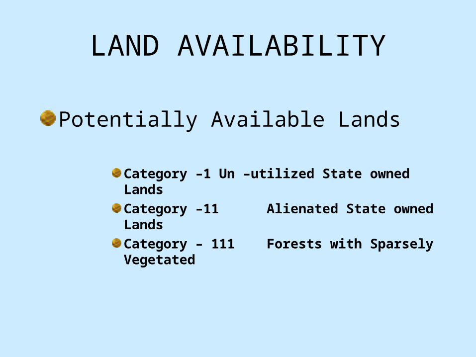
Potentially Available Lands
Category –1 Un –utilized State owned LandsCategory –11 Alienated State owned LandsCategory – 111 Forests with Sparsely Vegetated

Category -1 UNUTILIZED STATE OWNED
LANDS DISTRICT Land Extent
(Ha)Colombo 53Kalutara 591Gampaha 78 Galle 169Matara 55Hambantota 5927Kurunegala 2404Puttlam 744
DISTRICT Land Extent (Ha)Kandy 1959Matale 807Nuwaraeliya 928Anuradhapura 19040Polonnaruwa 1861Monaragala 22431Badulla 20410Ampara 32154

Methodology Applied
Preliminary Investigation by G.N. Field Verification by LUPPD staff Detail Data Collection by LUPPD staff Mapping Include to the Data Base Regular Updating??? Cost???

General Guideline for Selecting Land for Alienation
A.Exclude1. Stream and road reservations2. Catchments areas of tanks3. Forest and wild life reserves4. Land above 30% slope5. Land above 5000 foot contour6. Land with poor soil 7. Land with too much rockB.Include1. Land with good soil2. Land with water supply close by3. Land less than 8% slope4. Land between 8% and 30% slope for Agro-Forestry

Category -11 Alienated State Owned Lands (Major Settlement Schemes)
North-Western Province
District No. of Major
Settlement Schemes
Highland
Extent (Ha.)
No. of
Allotments
Puttlam 10 3125 2331
Kurunegala 09 3265 6086

Category -11 Alienated State Owned Lands (Major Settlement Schemes)
Uwa Province
District No. of Major
Settlement Schemes
Highland
Extent (Ha.)
No. of
Allotments
Monaragala 08 1975 2355
Badulla 10 2050 4236

Category -11 Alienated State Owned Lands (Major Settlement Schemes)
Central Province
District No. of Major
Settlement Schemes
Highland
Extent (Ha.)
No. of
Allotments
Kandy 02 1398 1982
Matale 04 2060 3586
Nuwaraeliya 01 61 152

Category -11 Alienated State Owned Lands (Major Settlement Schemes)
North-Central Province
District No. of Major
Settlement Schemes
Highland
Extent (Ha.)
No. of
Allotments
Anuradhapura 08 5796 15731
Polonnaruwa 08 11780 14687

Category -11 Alienated State Owned Lands (Major Settlement Schemes)
Sabaragamuwa Province
District No. of Major
Settlement Schemes
Highland
Extent (Ha.)
No. of
Allotments
Ratnapura 02 153 552

Category -11 Alienated State Owned Lands (Major Settlement Schemes)
Southern Province
District No. of Major
Settlement Schemes
Highland
Extent (Ha.)
No. of
Allotments
Hambantota 03 376 1626

Category -11 Alienated State Owned Lands (Major Settlement Schemes)
North & Eastern ProvinceDistrict No. of Major
Settlement Schemes
Highland
Extent (Ha.)
No. of
Allotments
Jaffna 14 1268 3056
Mullativu 08 4283 4783
Trincomalee 07 2159 7328
Batticaloa 07 3044 1916
Mannar 02 312 386
Ampara 01 4776 10816
Vavuniya 02 762 1130

Category -111 Sparsely Vegetated Forest Lands
District Total Spares (Ha)
Total Dense (Ha.)
Ampara 40966 123163
Anuradhapura 99525 164877
Badulla 26645 22753
Batticaloa 17766 34967
Colombo 487 1359
Galle 1584 18953
Gampaha - 362

Category -111 Sparsely Vegetated Forest Lands
District Total Spares (Ha)
Total Dense (Ha.)
Hambantota 59630 23197
Jaffna 317 1037
Kalutara 4575 14021
Kandy 7146 27177
Kegalla 1096 13734
Kilinochchi 5026 32573
Kurunegala 11973 7525

Category -111 Sparsely Vegetated Forest Lands
District Total Spares (Ha)
Total Dense (Ha.)
Mannar 16797 106942
Matale 13461 56525
Matara 1773 18468
Monaragala 57579 152628
Mullativu 20152 149150
Nuwaraeliya 4620 35084
Polonnaruwa 21333 114341

Category -111 Sparsely Vegetated Forest Lands
District Total Spares (Ha)
Total Dense (Ha.)
Puttlam 17545 69082
Ratnapura 11562 58926
Trincomalee 14446 112299
Vavuniya 15568 101481

SUMMARY
Category Type Extent (ha.)
Comment
Category -1 Unused State Owned
114093 Field Verification/
Validation
Category - 11 Major Settlement Schemes
54215 Socio Economic Survey
Category - 111
Forest Dept:
Sparsely Vegtd.
471593 To be Comply with FMP

LAND SUITABILITY

AGRO-ECOLOGICAL REGIONS OF SRI LANKA
THREE CLIMATIC ZONES
Wet Zone
Intermediate Zone
Dry Zone

46 AGRO-ECOLOGICAL REGIONS
WET ZONE
Wet Zone Up Country 4 Regions
Wet Zone Mid Country 6 Regions
Wet Zone Low Country 5 Regions

Intermediate Zone
Intermediate Up Country 7 Regions
Intermediate Mid Country 8 Regions
Intermediate Low Country 5 Regions

Dry Zone
Dry Zone Low Country 11 Regions

75% Expectancy Value of Annual Rainfall(mm)
Wet Zone - 1700-3300mm
Intermediate Zone - 1100-2400mm
Dry Zone - 650-1100mm

Land Extent Under Different Agro-Ecological Region
Wet Zone Up Country - 139807 ha
Wet Zone Mid Country - 315534 ha
Wet Zone Low Country - 818733 ha
Intermediate Up Country - 157162 ha
Intermediate Mid Country - 342395 ha
Intermediate Low Country - 1004431 ha
Dry Zone Low Country - 3562616 ha

IL2
DL1B
DL2B
DL3
DL1C
WL1A
DL1E
IL3
DL5
IL1A
DL1D
DL1F
DL2A
WL3
WL2A
IL1C
IL1B
IM2B
DL4
IM1B
IM1AWM1A
WL1B
IU2
WL2B
IU1
WM3B
WU1
IU3C
WM1B
WU3
IM1C
WU2A
WM2B
IM3B
IM3C
IU3E
IM2A
WM3A
DL1A
DL2&DL4
WM2A
IU3B
IM3A
WU2B
DL3&DL4
IU3D
IU3AIL1C
LEGENDDL1ADL1BDL1CDL1DDL1EDL1FDL2&DL4DL27DL4DL2ADL2BDL3DL3&DL4DL4DL5IL1AIL1BIL1CIL2IL3IM1AIM1BIM1CIM2AIM2BIM3AIM3BIM3CIU1IU2IU3AIU3BIU3CIU3DIU3EWL1AWL1BWL2AWL2BWL3WM1AWM1BWM2AWM2BWM3AWM3BWU1WU2AWU2BWU3
AGRO - ECOLOGICAL REGIONS IN SRI LANKA


