47
2D Stormwater Modeling Applications Samir Matta, PE Burton Johnson, PE, CFM 2/15/2017

2D Stormwater Modeling Applications
Samir Matta, PE
Burton Johnson, PE, CFM
2/15/2017

Company Background - About LAN
• Founded in 1935
• Full-service engineering, planning, and
program management
• 21 offices nationwide
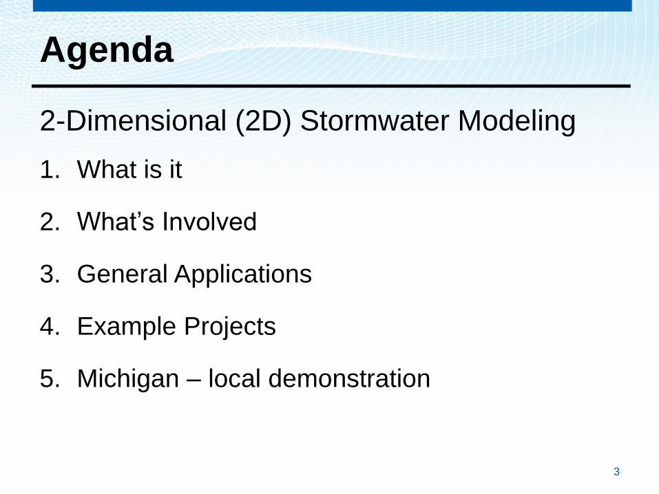
Agenda
2-Dimensional (2D) Stormwater Modeling
1. What is it
2. What’s Involved
3. General Applications
4. Example Projects
5. Michigan – local demonstration
3

Agenda
2-Dimensional (2D) Stormwater Modeling
1. What is it
2. What’s Involved
3. General Applications
4. Example Projects
5. Michigan – local demonstration
4

• Traditional “1-dimensional” modeling
– Pipes, channels
– 1 “direction” only
– Limited surface flow
• 2-dimensional modeling
– Pipes, channels
– Multiple “directions”
– Accurate surface flow
5
2D Stormwater Modeling
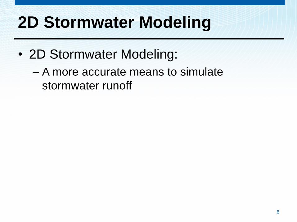
2D Stormwater Modeling
• 2D Stormwater Modeling:
– A more accurate means to simulate
stormwater runoff
6

2D Stormwater Modeling
• 2D Stormwater Modeling:
– A more accurate means to simulate
stormwater runoff
• New Approach
– Available high resolution topography
– Technological advances
7

2D Stormwater Modeling
• 2D Stormwater Modeling:
– A more accurate means to simulate
stormwater runoff
• New Approach
– Available high resolution topography
– Technological advances
8

2D Stormwater Modeling
• 2D Stormwater Modeling:
– A more accurate means to simulate stormwater runoff
• New Approach
– Available high resolution topography
– Technological advances
• Understanding the “Flood”
– Traditional methods emphasize model the pipes
– 2D Methods model the surface, or the “flood”
9

10
2D Stormwater Modeling

2D Stormwater Modeling
• Analysis Accuracy
11

2D Stormwater Modeling
• Analysis Accuracy
– Improved understanding
12

2D Stormwater Modeling
• Analysis Accuracy
– Improved understanding
• Effective and efficient solutions
13

2D Stormwater Modeling
• Analysis Accuracy
– Improved understanding
• Effective and efficient solutions
–Effective allocation of available funding
14

2D Stormwater Modeling
• Analysis Accuracy
– Improved understanding
• Effective and efficient solutions
–Effective allocation of available funding
• Communication Tool
– Visual Simulation during Public Meetings
15

2D Stormwater Modeling
• Analysis Accuracy
– Improved understanding
• Effective and efficient solutions
–Effective allocation of available funding
• Communication Tool
– Visual Simulation during Public Meetings
• Benefit Determination
Funding assistance
16
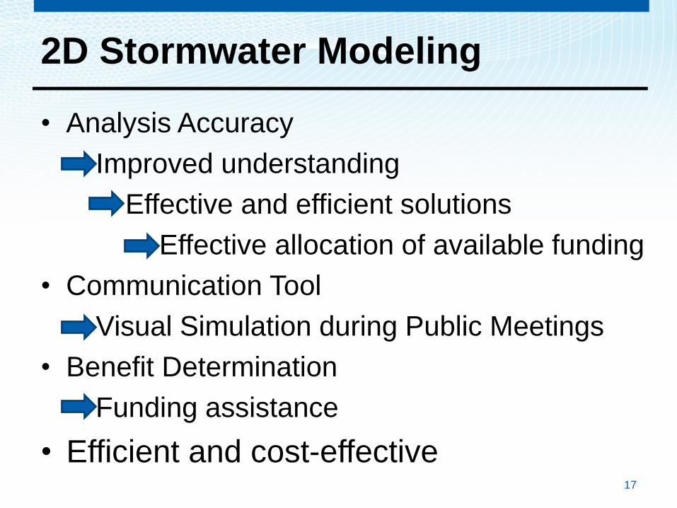
2D Stormwater Modeling
• Analysis Accuracy
– Improved understanding
• Effective and efficient solutions
–Effective allocation of available funding
• Communication Tool
– Visual Simulation during Public Meetings
• Benefit Determination
Funding assistance
• Efficient and cost-effective17

Agenda
2-Dimensional (2D) Stormwater Modeling
1. What is it
2. What’s Involved
3. General Applications
4. Example Projects
5. Michigan – local demonstration
18

2D Modeling – What’s Involved
Typical Analysis Inputs
• Aerial Topography – LiDAR – Essential
• Drainage Infrastructure
– Pipes
– Open Drains
– Rivers
• Land Use
19

2D Modeling – What’s Involved
Hydrology - Traditional
– Rational Method • Delineate Drainage Area
• Calculate Time of Concentration
• Determine Intensity
• Calculate Peak Flowrate
– Unit Hydrograph Methods• Rainfall Amount and Distribution
• Loss Rates
• Unit Hydrograph Methods
• Develop Hydrographs
20
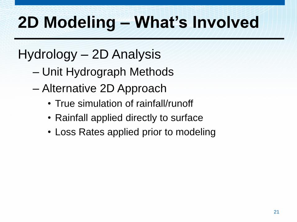
2D Modeling – What’s Involved
Hydrology – 2D Analysis
– Unit Hydrograph Methods
– Alternative 2D Approach
• True simulation of rainfall/runoff
• Rainfall applied directly to surface
• Loss Rates applied prior to modeling
21

2D Modeling – What’s Involved
• Hydraulics – Sub-Surface (pipes)
• Inlets
• Size & Shape
• Elevations
– Surface• LiDAR
• Roughness Zones
• Topographic Adjustments
– Boundary Conditions• Hydrographs/Rainfall
• Tailwater
22

Model Comparison
Method Software Advantages Limitations
Static or Steady State Analysis
• StormCAD• HEC-RAS• Spreadsheets
• Ease of use• Standard product• Results reporting is simple and
easy to interpret and evaluate• Limited data requirements
• Complex systems• No overland flow• Results reporting
Dynamic with 1-D Overland Sheetflow
• SWMM• XP-SWMM• ICPR• InfoWorks• HEC-RAS
• Complex storm sewers• Pump stations and detention• Limited data requirements• 1-D overland flow
• Complex analysis –specialty
• Limited overland flow
• Limited results reporting
Dynamic with 2-D Overland Sheetflow
• InfoWorks• XP-SWMM• SOBEK• MIKE Urban• HEC-RAS 5
• Improved overland sheetflow• Improved storage accounting• Additional calibration options• Improved communications
tools
• Complex analysis –specialty
• Data requirements• Initial up-front
cost

Agenda
2-Dimensional (2D) Stormwater Modeling
1. What is it
2. What’s Involved
3. General Applications
4. Example Projects
5. Michigan – local demonstration
24
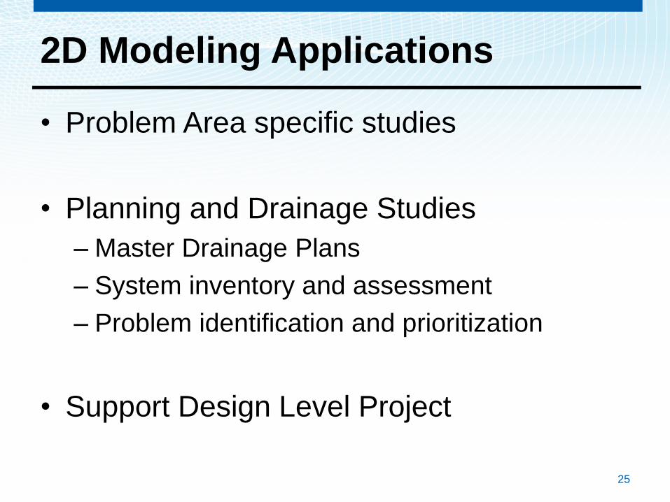
2D Modeling Applications
• Problem Area specific studies
• Planning and Drainage Studies
– Master Drainage Plans
– System inventory and assessment
– Problem identification and prioritization
• Support Design Level Project
25
2D Modeling Applications
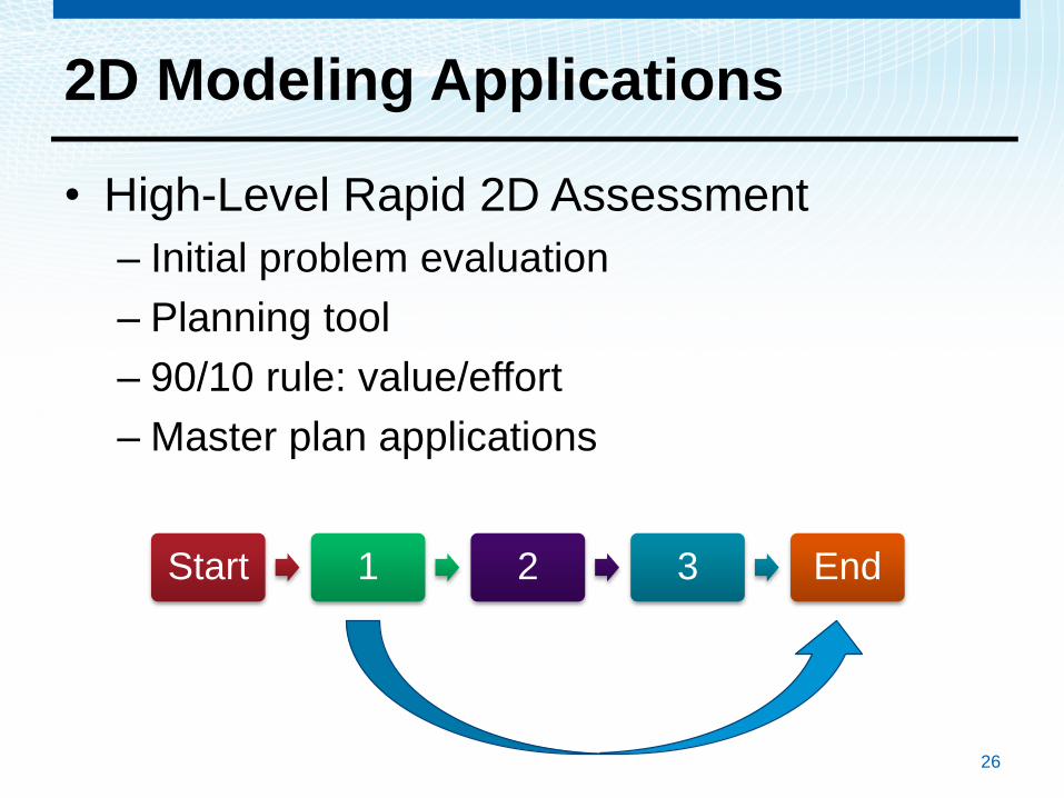
• High-Level Rapid 2D Assessment
– Initial problem evaluation
– Planning tool
– 90/10 rule: value/effort
– Master plan applications
26
Start 1 2 3 End

2D Modeling Applications
• High-Level Rapid 2D Assessment
– How does it work
• Leverage Available Data
– LiDAR Data
– GIS Information
• Rainfall on Mesh
• Regional Results Comparable With Detailed
Studies
– 90/10 Rule in Effect
27

Rapid 2D – San Antonio - Woodlawn
28
• High-Level Rapid 2D Analysis
– Initial problem evaluation
– Planning tool
– 90/10 rule: value/effort
– Master plan applications
Rapid 2D
Proposed ProjectDetailed 2D
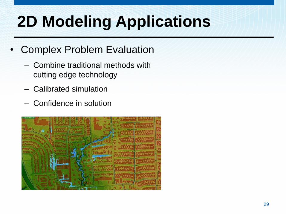
2D Modeling Applications
• Complex Problem Evaluation
– Combine traditional methods with
cutting edge technology
– Calibrated simulation
– Confidence in solution
29

• Open channel, surface, and SS flow
7/10/2017Presentation Title 30
Complex Problem Evaluation
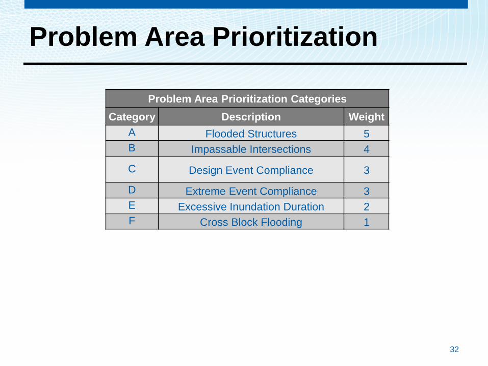
Problem Area Prioritization
32
Problem Area Prioritization Categories
Category Description Weight
A Flooded Structures 5
B Impassable Intersections 4
C Design Event Compliance 3
D Extreme Event Compliance 3
E Excessive Inundation Duration 2
F Cross Block Flooding 1

Complex Problem Evaluation
Communication
• Confirmation of
evaluation accuracy
• Effectiveness of
solutions
2D Modeling Background
2D Modeling Summary
• Relatively new approach
34

2D Modeling Summary
• Relatively new approach
• More accurate and comprehensive
35
2D Modeling Summary
• Relatively new approach
• More accurate and comprehensive
• Full understanding of complex flow
36

2D Modeling Summary
• Relatively new approach
• More accurate and comprehensive
• Full understanding of complex flow
• Planning tool
37

2D Modeling Summary
• Relatively new approach
• More accurate and comprehensive
• Full understanding of runoff
• Planning tool
• Design tool
38

2D Modeling Summary
• Relatively new approach
• More accurate and comprehensive
• Full understanding of complex flow
• Planning tool
• Design tool
• Communication tool
39

Agenda
2-Dimensional (2D) Stormwater Modeling
1. What is it
2. What’s Involved
3. General Applications and Examples
4. Example Projects
5. Michigan – local demonstration
40

2D Analysis and Lansing Region
• Flat topography – Overland flow important
• Intense short duration rainfall
• Mature developments
• Applications
– Planning
– Problem area evaluation
– Design support
– FEMA Map Evaluation
41

Introduction to 2D
Stormwater Modeling42
Webberville, MI

10-Year Flood Event
43

10-Year Flood Event
44

10-Year Existing vs Proposed Conditions-
11:45 am
45

10-Year Existing vs Proposed Conditions-
Max Inundation
46

10-Year Existing vs Proposed Conditions
1:45 pm
47

Thank YouBurton Johnson, PE, CFM
281-773-7184 (Mobile)
713-266-2089 (Office)
Samir Matta, PE
517-819-2367 (Mobile)
517-657-6176 (Office)


