24
• Boundaries and border disputes • Domestic political geography • Electoral geography: voting patterns Class 8b: Political geography II
| Date post: | 22-Dec-2015 |
| Category: |
Documents |
| View: | 225 times |
| Download: | 0 times |
• Boundaries and border disputes
• Domestic political geography
• Electoral geography: voting patterns
Class 8b: Political geography II
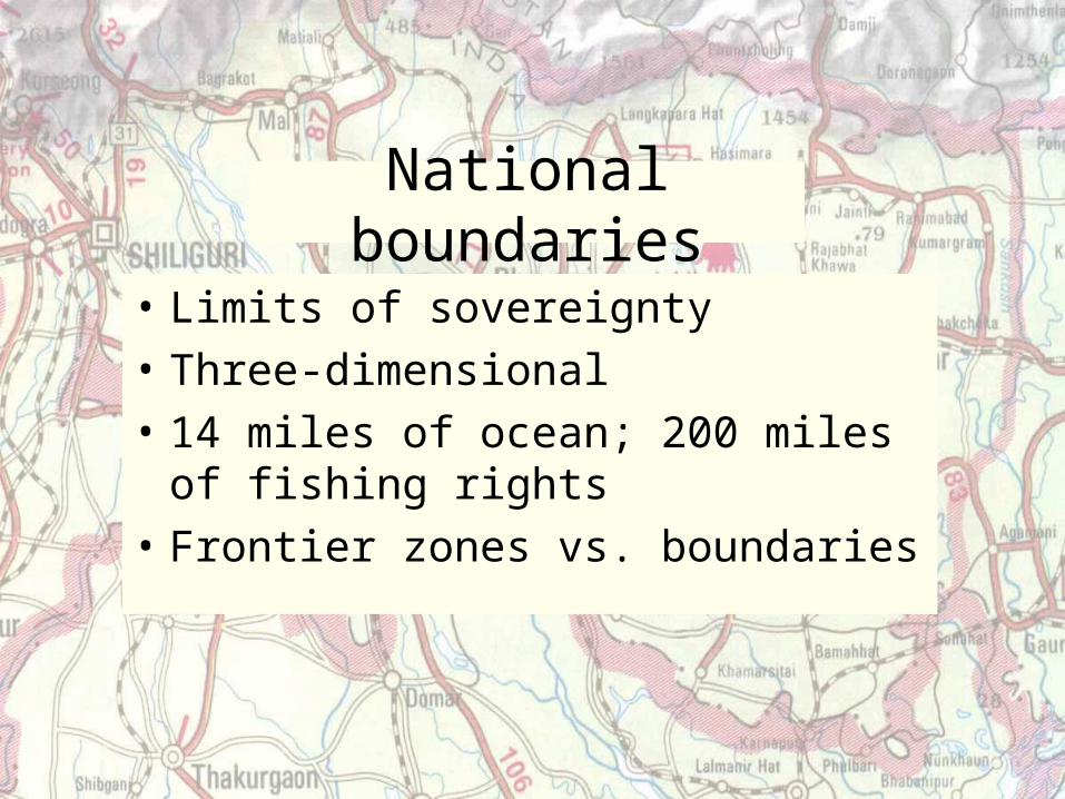
National boundaries
• Limits of sovereignty
• Three-dimensional
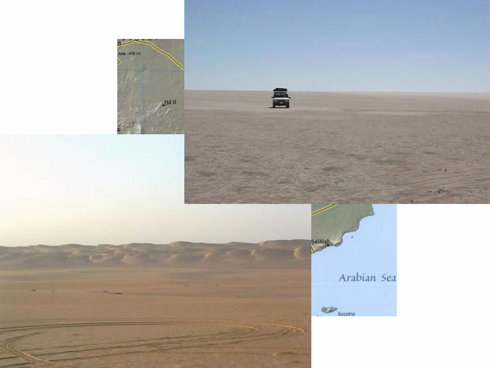
• 14 miles of ocean; 200 miles of fishing rights
• Frontier zones vs. boundaries
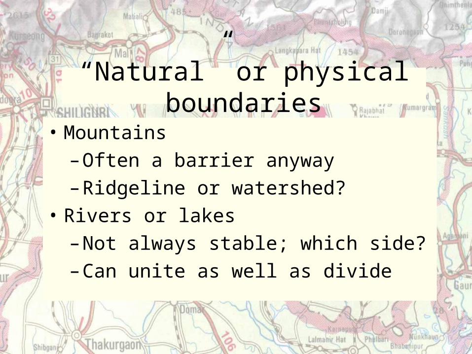
“Natural” or physical boundaries
• Mountains
– Often a barrier anyway
– Ridgeline or watershed?
• Rivers or lakes
– Not always stable; which side?
– Can unite as well as divide
Figure 9.15 (Chile/Argentina)
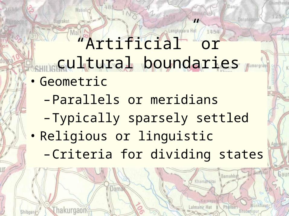
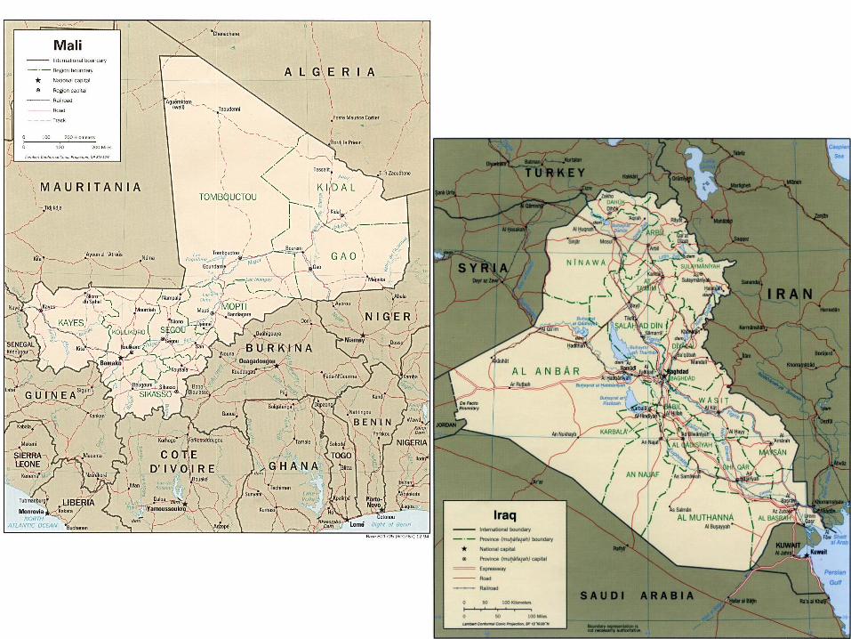
“Artificial” or cultural boundaries
• Geometric
– Parallels or meridians
– Typically sparsely settled
• Religious or linguistic
– Criteria for dividing states
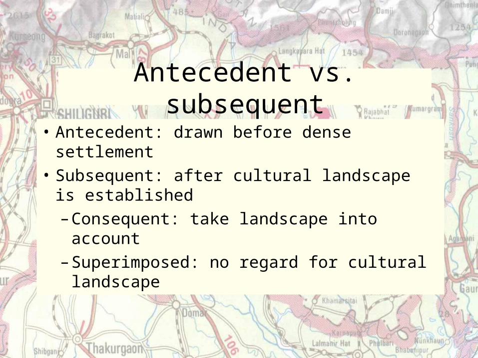
Antecedent vs. subsequent
• Antecedent: drawn before dense settlement
• Subsequent: after cultural landscape is established
– Consequent: take landscape into account
– Superimposed: no regard for cultural landscape
Figure 9.5 (Africa)
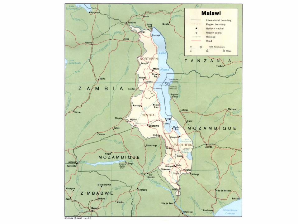
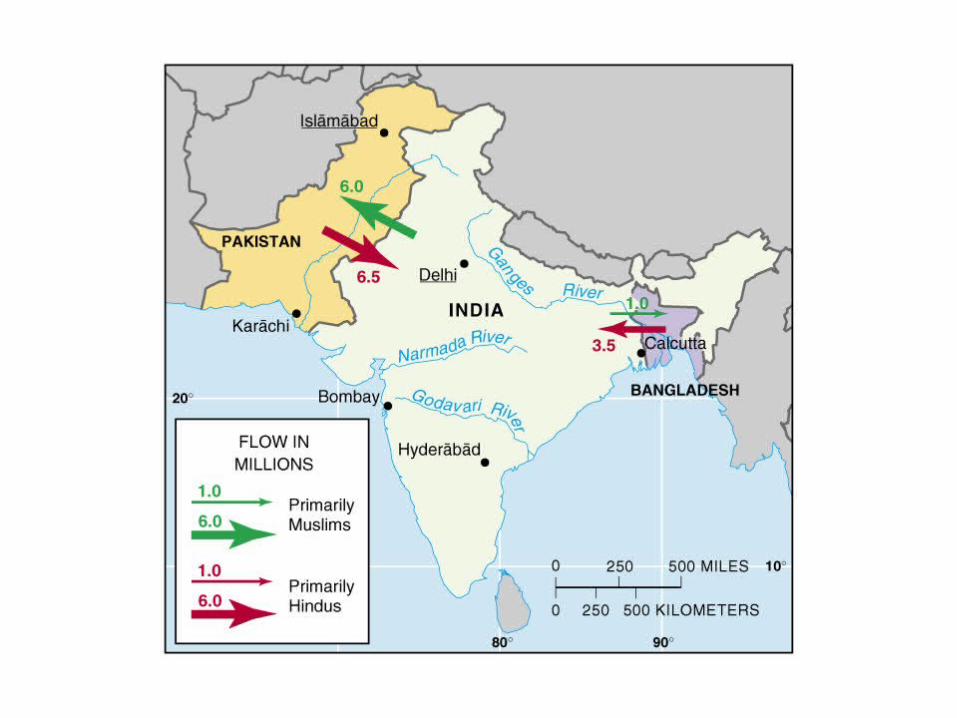
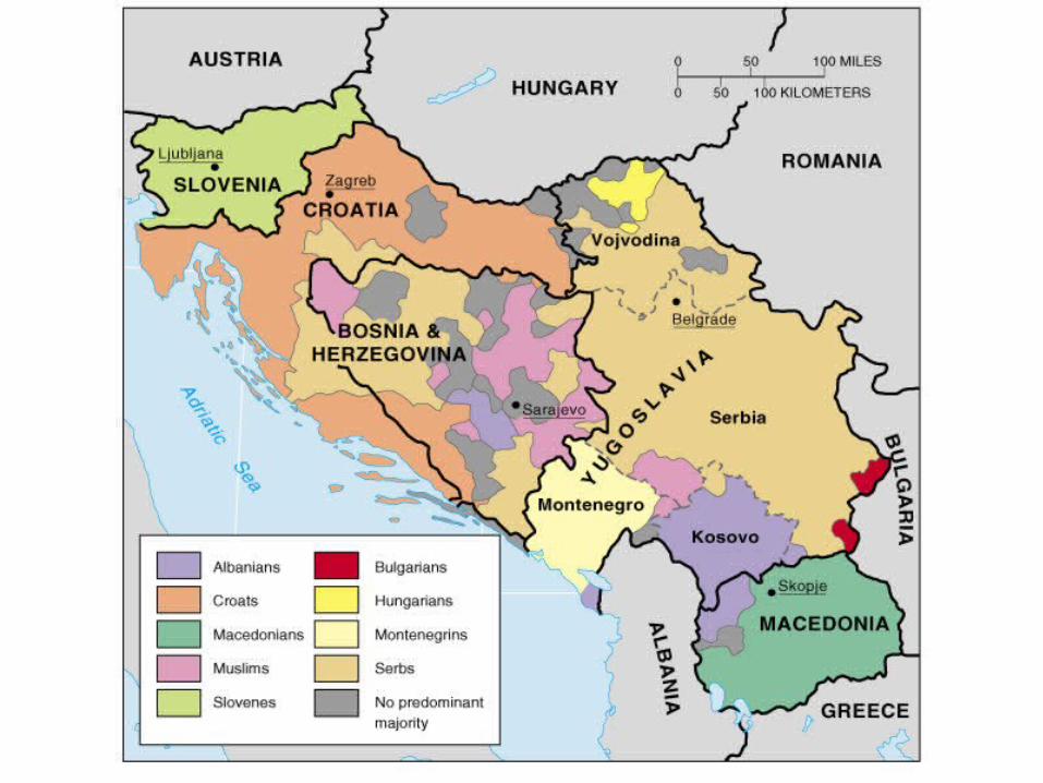
Boundaries as sites of conflict
• Landlocked states
• Water as boundary
• Rivers across boundaries
• Nations not matching state boundaries
• Resource access or use
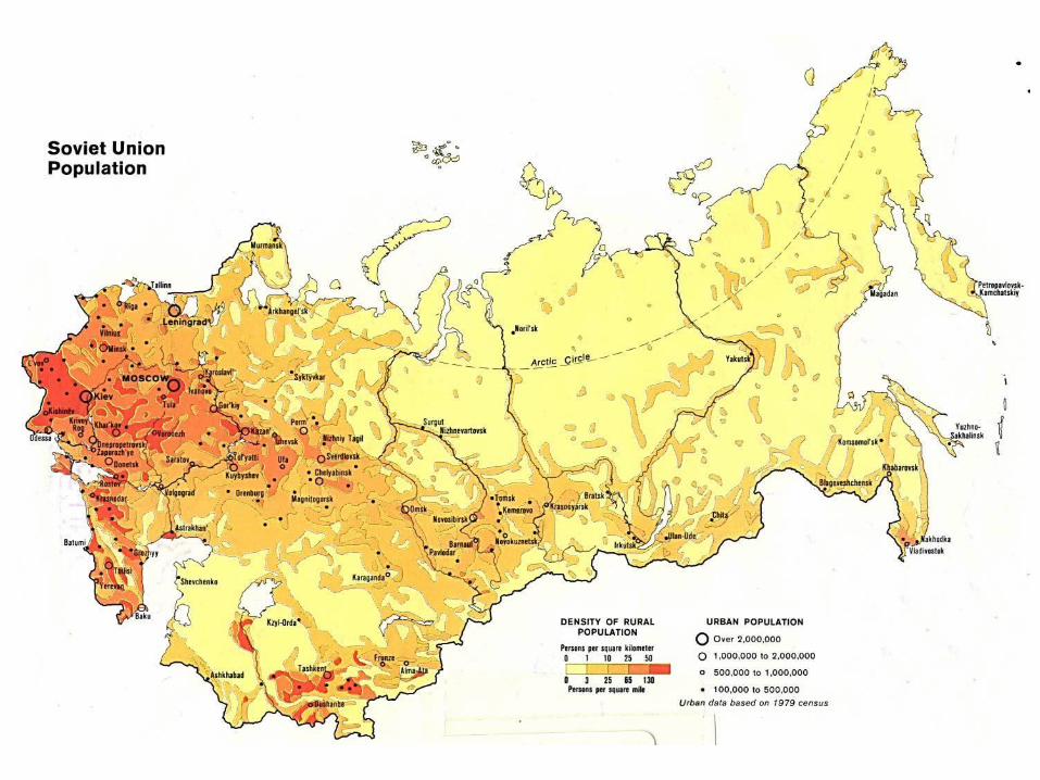
Internal state structure
• Core area: historical center
– Densest population, largest cities
– Most economically developed
• Ex.: Moscow, London, eastern U.S.
• Not found in all countries
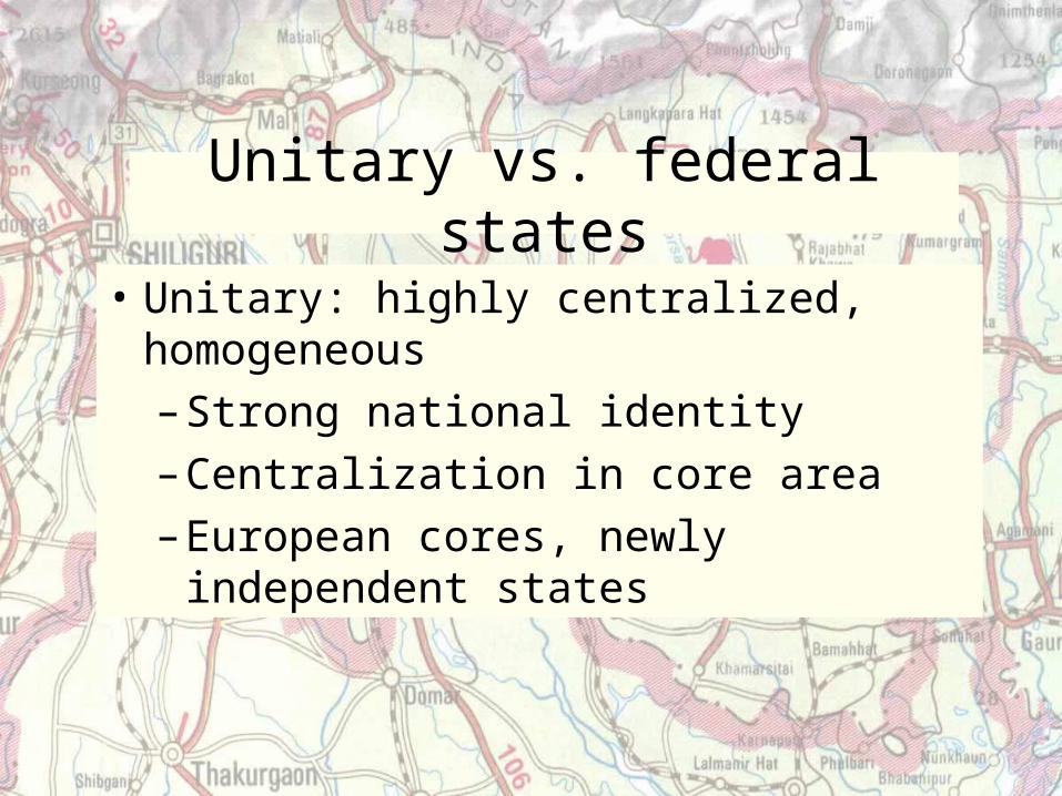
Unitary vs. federal states
• Unitary: highly centralized, homogeneous
– Strong national identity
– Centralization in core area
– European cores, newly independent states
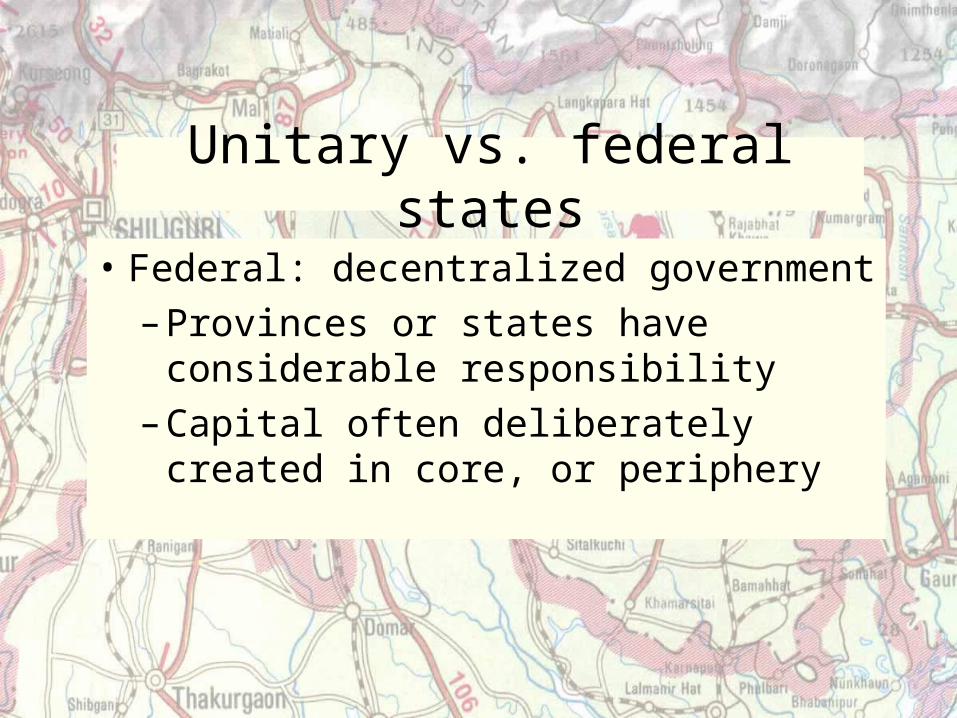
Unitary vs. federal states
• Federal: decentralized government
– Provinces or states have considerable responsibility
– Capital often deliberately created in core, or periphery