13
Infrastructure 1 Ezra Duplissie-Cyr ‘15 | Rachel Barnes ‘15 | Luis Paniagua ‘16 | Ike May ‘15 Vivian Yang ‘15 | Kote Mushegian ‘17 | Mingo Sanchez ‘17
| Date post: | 14-Jul-2015 |
| Category: |
Documents |
| Upload: | jen-jack-gieseking |
| View: | 334 times |
| Download: | 0 times |
Infrastructure 1
Ezra Duplissie-Cyr ‘15 | Rachel Barnes ‘15 | Luis Paniagua ‘16 | Ike May ‘15 Vivian Yang ‘15 | Kote Mushegian ‘17 | Mingo Sanchez ‘17

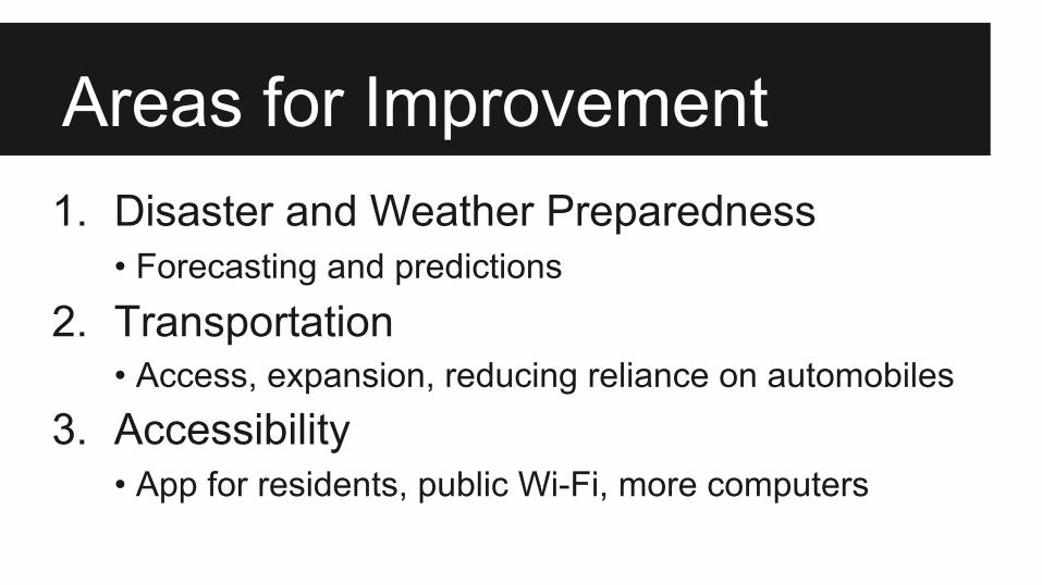
Areas for Improvement1. Disaster and Weather Preparedness
• Forecasting and predictions
2. Transportation• Access, expansion, reducing reliance on automobiles
3. Accessibility• App for residents, public Wi-Fi, more computers

Early-Warning Weather System1. Offshore sensors relaying
weather in real timea. Online mapsb. Interactive inundation
warnings2. Community resilience
data/plansa. Increase forecasting accuracyb. Improved data accessibility
Map generated in ArcMap 10.2 -- Source: MEGIS Data Catalog, 2014
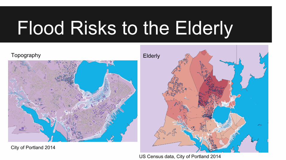
Flood Risks to the Elderly
US Census data, City of Portland 2014
City of Portland 2014
Topography Elderly

● High demand for cycling needs to be met
● Solution for yearlong cycling: Heated bike lanes
● Benefits:○ Reduce carbon
emissions○ Reduce traffic○ Increase parking
Cycling Accessibility

Generating Bus Data● Metrobus loses
millions of dollars every year[1]
● Some lines are very long without many stops
● Cannot track usage[2][map data] US Census Bureau; City of Portland, 2014. [1]National Department of Transportation, 2012. [2]Greater Portland Transit District, “METRO Fares.”

Public Transportation ● Expanding public bus
system○ More routes and stops in
areas around Portland ● Increasing reliability
and accessibility ○ Apps for wait times,
routes[map data] Maine Office of GIS, City of Portland

Smart City System & App
● Accessible from variety of devices
● Easy way of notifying citizens of changes
● Great app for tourists
● One system – front & back end● Front for citizens, back for the city
tamr.com
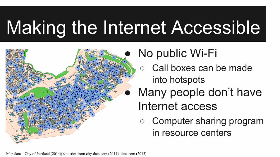
Making the Internet Accessible● No public Wi-Fi
○ Call boxes can be made into hotspots
● Many people don’t have Internet access○ Computer sharing program
in resource centers
Map data – City of Portland (2014); statistics from city-data.com (2011), time.com (2013)
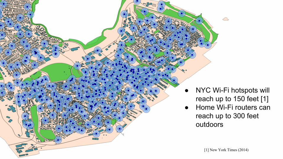
● NYC Wi-Fi hotspots will reach up to 150 feet [1]
● Home Wi-Fi routers can reach up to 300 feet outdoors
[1] New York Times (2014)

Making the Internet Accessible● No public Wi-Fi
○ Call boxes can be made into hotspots
● Many people don’t have Internet access○ Computer sharing program
in resource centers
Map data – City of Portland (2014); statistics from city-data.com (2011), time.com (2013)
Areas for Improvement1. Disaster and Weather Preparedness
• Forecasting and predictions
2. Transportation• Access, expansion, reducing reliance on automobiles
3. Accessibility• App for residents, public Wi-Fi, more computers

Thank you!
Any questions?


