12
BROOKLYN WATERFRONT GREENWAY IMPLEMENTATION PLAN

B R O O K LY N W A T E R F R O N T G R E E N W AYI M P L E M E N T A T I O N P L A N

New York Harbour taken from Pier 4Cover: Manhattan Bridge taken from Brooklyn Bridge Park (Credit: Todd Landry Photography)


B R O O K LY N W A T E R F R O N T G R E E N W AY
ACKNOWLEDGEMENTS
This Plan is the culmination of years of work by a wide array of organizations and would not have been possible without their input.
Janette Sadik-Khan, Commissioner, NYCDOT
Brooklyn Greenway Initiative
Regional Plan Association
Federal Highway Administration
United Puerto Rican Organization of Sunset Park
Congresswoman Nydia M. Velazquez
Brooklyn Bridge Park
Brooklyn Navy Yard Development Corporation
New York City Department of Design and Construction
New York City Department of Environmental Protection
New York City Economic Development Corporation
New York City Department of City Planning
New York City Department of Parks and Recreation
New York State Department of Transportation
New York State Department of State, Coastal Resources Division
Mayor’s Office of Long Term Planning and Stainability
Port Authority of New York & New Jersey
Sam Schwartz Engineering
Community Board 1 - Greenpoint-Williamsburg
Community Board 2 - Downtown Brooklyn
Community Board 6 - Red Hook
Community Board 7 - Sunset Park
Photo cover: Todd Landry Photography
Implementation Plan prepared by The RBA Group

B R O O K LY N W A T E R F R O N T G R E E N W AY
1.0 Introduction 71.1 Greenpoint-Williamsburg Waterfront 81.2 Downtown Brooklyn Waterfront 91.3 Red Hook Waterfront 101.4 Sunset Park Waterfront 11
0.0 Introduction 30.1 Project Goals and Objectives 40.2 Summary of Implementation Plan Process 4
Introduction
Chapter 1 Gap Analysis & Literature Review
Chapter 2 Route Planning & Design
Chapter 4 Design Guidelines
Chapter 3 Phasing and Implementation Plan
3.0 Introduction 59
3.1 Greenpoint-Williamsburg Discrete Capital Projects and Final Route Map 62
3.2 Downtown Brooklyn Discrete Capital Projects and Final Route Map 64
3.3 Red Hook Discrete Capital Projects and Final Route Map 66
3.4 Sunset Park Discrete Capital Projects and Final Route Map 68
Appendix
Community Workshop SummariesLiterature Review Photo DocumentationLeventhal Memorandum
2.3 Red Hook Waterfront 34
2.3.1 Existing Conditions 34 2.3.2 Route Analysis 35
Hamilton Avenue and Van Brunt Street to Beard Street and Conover Street (Plan Enlargement 4) 35
Beard Street and Conover Street to Erie Basin Park (Plan Enlargement 5) 38
Erie Basin Park to Hamilton Avenue Bridge (Plan Enlargement 6) 39
2.3.3 Red Hook Recommended Route 43 2.3.4 Red Hook Inland Connectors 43
2.4 Sunset Park Waterfront 44
2.4.1 Existing Conditions 44 2.4.2 Route Analysis 45
Hamilton Avenue at Smith Street over the Gowanus Canal to Third Avenue at 27th Street (Plan Enlargement 7) 45
Third Avenue and 27th Street to Second Avenue and 32nd Street (Plan Enlargement 8) 48
39th Street to 58th Street (Plan Enlargement 9) 50
Second Avenue and 58th Street to Owl’s Head Park (Plan Enlargement 10) 54
2.4.3 Sunset Park Recommended Route 56 2.4.4 Sunset Park Inland Connectors 56
2.0 Introduction 132.1 Greenpoint-Williamsburg Waterfront 16
2.1.1 Existing Conditions 16 2.1.2 Route Analysis 17
Pulaski Bridge over Newtown Creek to West Street (Plan Enlargement 1) 17
West Street from Eagle Street to Quay Street 19 West Street to Kent Avenue Route (Plan Enlargement 2) 21 2.1.3 Greenpoint-Williamsburg Recommended Route 23 2.1.4 Greenpoint-Williamsburg Inland Connectors 23
2.2 Downtown Brooklyn Waterfront 24
2.2.1 Existing Conditions 24 2.2.2 Route Analysis 25
Kent Avenue to Navy Street and York Street 25
Navy Street to Brooklyn Bridge Park (Plan Enlargement 3) 28
Vinegar Hill Preferred Route Vision 31 2.2.3 Downtown Brooklyn Recommended Route 33 2.2.4 Downtown Brooklyn Inland Connectors 33
TABLE OF CONTENTS
4.0 Design Guideline Objectives 73
4.1 Streetscape Elements 77
4.1.1 Street Furniture 77 4.1.2 Wayfinding Signs and Kiosks 78 4.1.3 Public Art 78 4.1.4 Street Trees 79 4.1.5 Tree Pit Design 79 4.1.6 Planted Islands and Moveable Planters 80 4.1.7 Street Lighting 81 4.1.8 Barriers and Bollards 82 4.1.9 Non-Standard Distinctive Pavements 83
4.2 Pedestrian Accommodations 84
4.2.1 Crosswalks 84 4.2.2 Pedestrian Islands 85 4.2.3 Pedestrian Countdown Signals 85 4.2.4 H.A.W.K. Pedestrian Signals 85
4.3 Bicycle Accommodations 86
4.3.1 Physically Separated On-street Bicycle Lanes (Class I) 86 4.3.2 On-street Bicycle Lanes (Class II) 86 4.3.3 On-street Shared Lanes (Class III) 86 4.3.4 Off-street Paths (Class I) 87 4.3.5 Drainage Grates 88 4.3.6 Bicycle Parking 88 4.3.7 Bicycle Lanes on Rough Stone Streets 89 4.3.8 Rail with Trail 89
4.4 Traffic Calming 90
4.4.1 Curb Extensions 90 4.4.2 Curb Radius Reduction 90 4.4.3 Narrow Travel Lanes 90 4.4.4 On-Street Parking 90 4.4.5 Forced Turn Islands 91 4.4.6 Shared Streets (Woonerf ) 91 4.4.7 Temporary Street Closures 91
4.5 Sustainable Stormwater Management
4.5.1 Rain Gardens and Vegetation 92 4.5.2 Pervious Surfaces 93

B R O O K LY N W A T E R F R O N T G R E E N W AYB R O O K LY N W A T E R F R O N T G R E E N W AY

I N T R O D U C T I O N
B R O O K L Y N W A T E R F R O N T G R E E N W A Y

New York City Department of Transportation (NYCDOT)is committed to providing walking and bicycling facilities throughout New York City that are safe and efficient, as well as accessible and appealing to a broad segment of the population. The agency is dedicated to making sure that all New Yorkers, regardless of age or cycling experience, feel that the option to travel by bike is available to them.
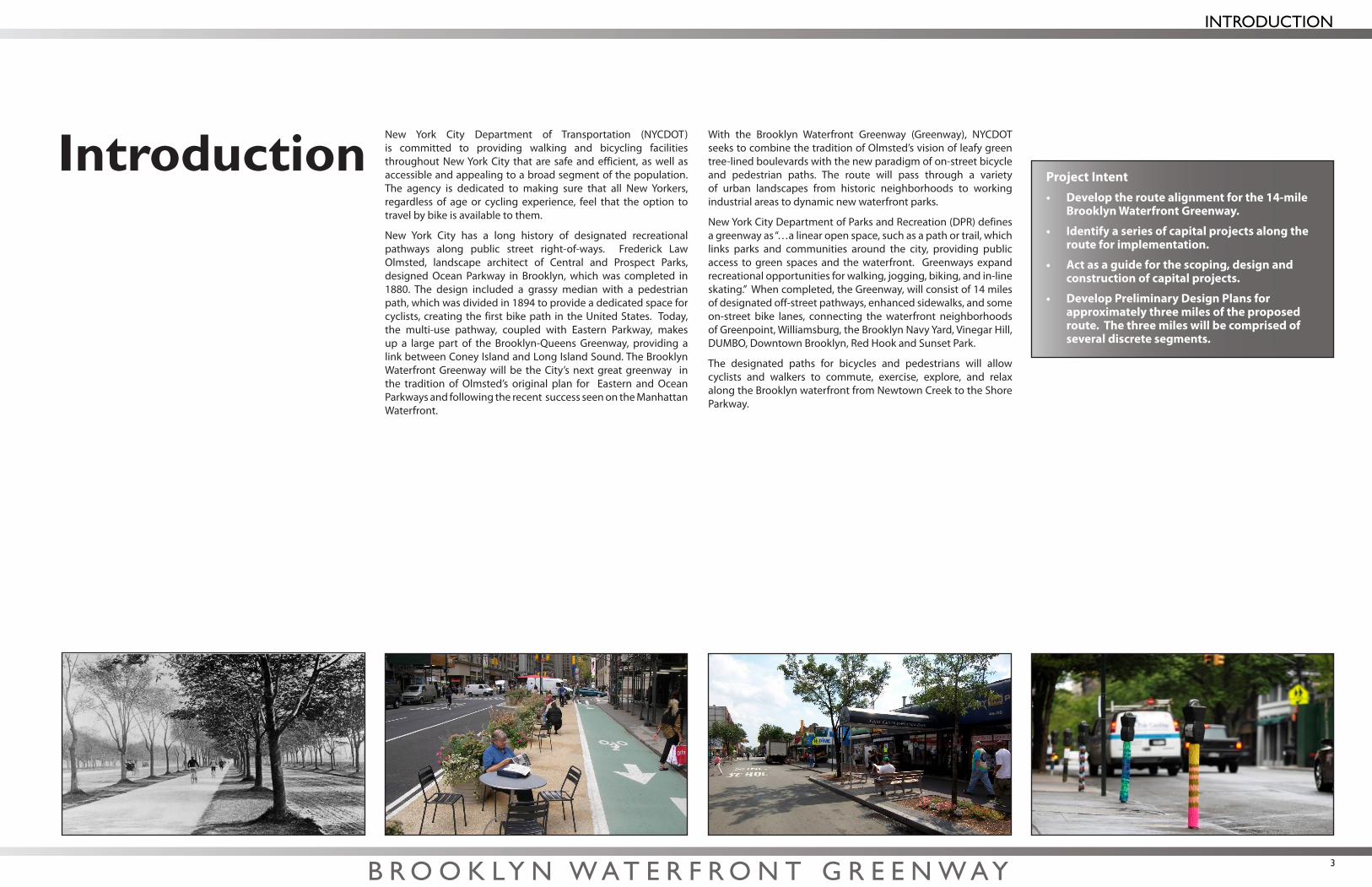
New York City has a long history of designated recreational pathways along public street right-of-ways. Frederick Law Olmsted, landscape architect of Central and Prospect Parks, designed Ocean Parkway in Brooklyn, which was completed in 1880. The design included a grassy median with a pedestrian path, which was divided in 1894 to provide a dedicated space for cyclists, creating the first bike path in the United States. Today, the multi-use pathway, coupled with Eastern Parkway, makes up a large part of the Brooklyn-Queens Greenway, providing a link between Coney Island and Long Island Sound. The Brooklyn Waterfront Greenway will be the City’s next great greenway in the tradition of Olmsted’s original plan for Eastern and Ocean Parkways and following the recent success seen on the Manhattan Waterfront.
With the Brooklyn Waterfront Greenway (Greenway), NYCDOT seeks to combine the tradition of Olmsted’s vision of leafy green tree-lined boulevards with the new paradigm of on-street bicycle and pedestrian paths. The route will pass through a variety of urban landscapes from historic neighborhoods to working industrial areas to dynamic new waterfront parks.
New York City Department of Parks and Recreation (DPR) defines a greenway as “…a linear open space, such as a path or trail, which links parks and communities around the city, providing public access to green spaces and the waterfront. Greenways expand recreational opportunities for walking, jogging, biking, and in-line skating.” When completed, the Greenway, will consist of 14 miles of designated off-street pathways, enhanced sidewalks, and some on-street bike lanes, connecting the waterfront neighborhoods of Greenpoint, Williamsburg, the Brooklyn Navy Yard, Vinegar Hill, DUMBO, Downtown Brooklyn, Red Hook and Sunset Park.
The designated paths for bicycles and pedestrians will allow cyclists and walkers to commute, exercise, explore, and relax along the Brooklyn waterfront from Newtown Creek to the Shore Parkway.
IntroductionProject Intent• Develop the route alignment for the 14-mile
Brooklyn Waterfront Greenway.
• Identify a series of capital projects along the route for implementation.
• Actas a guide for the scoping, design and construction of capital projects.
• Develop Preliminary Design Plans for approximately three miles of the proposed route. The three miles will be comprised of several discrete segments.
B R O O K LY N W A T E R F R O N T G R E E N W AY 3
INTRODUCTION
B R O O K LY N W A T E R F R O N T G R E E N W AY4
This plan will lay out and describe the details of a continuous route that may be feasibly constructed. The route is divided into discrete segments for phased implementation and an estimated cost of construction will be provided for each segment.
It is anticipated that the vast majority of the Greenway will be constructed on land owned and maintained by New York City–most, if not all of it, on public right-of-way. Other portions may be proposed on land under other agencies’ jurisdictions. These agencies have been brought into this planning process and this plan will act as a guide for future design considerations. Portions of the Greenway, described in the Plan as “Future Enhancement Projects”, are long-term projects that may require additional land acquisition or formation of public/private partnerships in the future.
Planning and design of the Greenway has been a joint effort between community groups and City, State and Federal agencies. Open communication with these community groups and agencies continues to be an integral part of the Greenway development process.
Upon completion of the Implementation Plan for the Greenway, discrete segments of the Plan will be advanced to the preliminary design stage. For each segment advanced to preliminary design, a schematic geometric design, preliminary engineering estimate and traffic study will be completed.
It is important to note that Preliminary and/or Final Engineering design for two discrete segments of the proposed route are being progressed simultaneously to, but separately from this effort under parallel, individual work orders. They are:
1. West Street from Eagle Street to Quay Street in Greenpoint.2. Flushing Avenue from the intersection of Williamsburg
Street West to Navy Street
0.1 Project Goals and ObjectivesThe goal of this plan and for the Greenway is to encourage a healthy lifestyle and promote a higher quality of urban life by providing a safe, convenient and enjoyable venue for active recreation and the use of non-motorized forms of transportation.
Objectives for design of the Greenway include:
• The Greenway will be physically separated from traffic when possible. It is recognized, however, that portions of the route may require that Greenway users share the road with motor vehicles. In these cases, a ‘complete streets’ approach to street design is to be taken to ensure the safety, convenience and comfort of non-motorized users of the Greenway.
• Theroutewillbelocated as close as possible - and facilitate direct access - to the water.
• Therouteshall connect as many points of trip origin and destination as possible.
• Theroutewillincorporate community input gathered from a series of community workshops (described in Project Coordination and Community Outreach) and previous studies.
• Frequent,safe and convenient access and egress points to/from the Greenway will be provided.
• Construction materials and street furnishings will be durable, low maintenance, and of high quality and distinctive character.
• StandardfeatureswillconformtotheNYCDOTStreetDesignManual andwith other NYC Agency typical constructiondetails.
• Thedesign will be sensitive to the surrounding context.
• The design will also utilize/incorporate sustainable (or ‘green’) construction techniques, materials and technologies.
Preparation of a Project Base Map
The base map was created to illustrate the project limits, alternative routes under consideration and the final preferred alternative route.
Literature Review
A review of previous plans for a greenway along this corridor was conducted and key conclusions and recommendations from each of the studies were distilled into a Literature Review. These previous efforts revealed important engineering, design, jurisdictional, and political challenges to implementation.
Gap Analysis
Findings from the Literature Review were compiled and distilled onto neighborhood maps. The objective was to identify route alignment alternatives that may have been inadequately explored or possibly overlooked altogether in previous planning efforts.
Route Planning
The route planning portion of this plan was completed in the following steps:
• Sitereconnaissanceandphotodocumentationof theroutestudy area
• Development of preliminary route alternatives in portions of the route study area where a route alignment had not been designated
• Field investigations and analysis of traffic operations, roadway geometry, utility impacts, land use and right of way, environmental impacts, and historical and/or cultural resources
• Selectionofthepreferredroute
Project Phasing and Implementation Plan
A table that identifies and describes the proposed discrete capital improvement projects for a planned multi-year phased implementation was prepared. Proposed capital projects are located on accompanying maps.
Design Guidelines
The purpose of the Design Guidelines is to ensure a uniform yet contextual design in the materials and furnishings used throughout future construction phases of the Greenway.
Project Coordination and Community Outreach
Workshops were held in each of the four Community Districts in which the Greenway route is located–Community Districts 1, 2, 6 and 7–to solicit feedback from project stakeholders and the public on proposed route alternatives and the preferred alternative.
The first series of meetings described the project goals and objectives and presented studies that had previously been conducted. A preliminary discussion of route alternatives also took place.
The second series of meetings began with route alternatives that were developed from previous public input. Participants were asked to identify specific opportunities and constraints inherent in the route alternatives being considered.
The third and final series of meetings involved a presentation of the preferred route. Input was solicited to understand how local conditions would affect operations for each route segment and community members were asked to prioritize the route implementation preferences.
Agency coordination meetings were also held with representatives of relevant governmental agencies, as required, including various divisions within New York City Department of Design and Construction (NYCDDC), DPR, New York City Department of Environmental Protection (NYCDEP) and New York City Economic Development Corporation (NYCEDC), to coordinate planning activities with other relevant ongoing planning and design efforts.
0.2 Summary of the Implementation Plan Process
INTRODUCTION

Newtown Creek taken from Pulaski Bridge
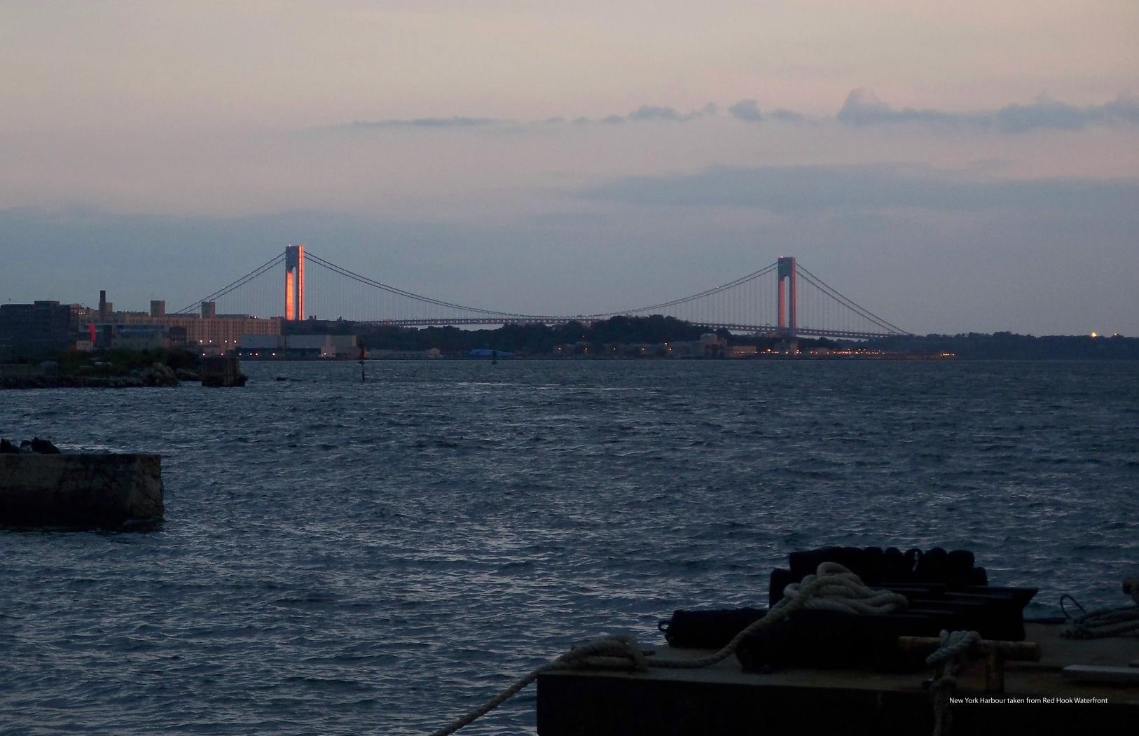
New York Harbour taken from Red Hook Waterfront


